Grubbenweg from Nagelbeek is a climb in the region South Limburg. It is 1 mi long and bridges 138 ft of vertical ascent with an average gradient of 2.5%, resulting in a difficulty score of 12. The top of the ascent is located at 390 ft above sea level. Climbfinder users shared 4 reviews of this climb and uploaded 12 photos.
Road names: Nagelbeek & Grubbenweg
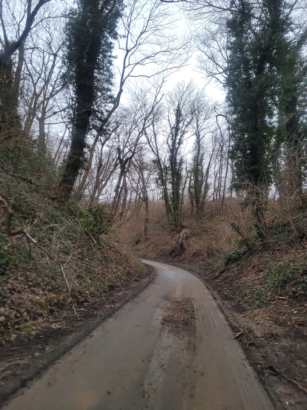
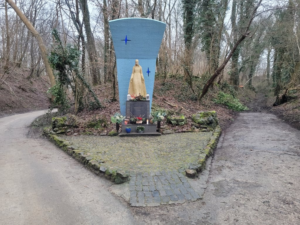
3.0 by FedorThis is an automatic translation, the original language is: Dutch.A very gentle climb, however, that leads through a very nice hollow road and passes a road chapel. After about halfway, the road is used for water drainage. So there is a chance that you can cycle up through a stream. Now the water runs mainly through the middle and there is a dry strip on the sides, but sometimes you have to cross the middle of the road (and thus the water stream) to get a dry strip. At the end you leave the hollow road and it gets a little steeper. At the T-junction you can tu... read more
Welcome! Please activate your account if you would like to share something. Look for the verification email in your inbox.
If you want to upload your photos, you need to create an account. It only takes 1 minute and it's completely free.
A fine climb over a beautiful, car-free and intimate hollow road. After rain, there is dirt on the ground, giving you even more the experience of an undiscovered gem.
Een fijne klim over een mooie, autovrije en intieme holle weg. Na regen ligt er vuil op de grond, waardoor je nog meer de ervaring hebt van een onontdekt juweeltje.
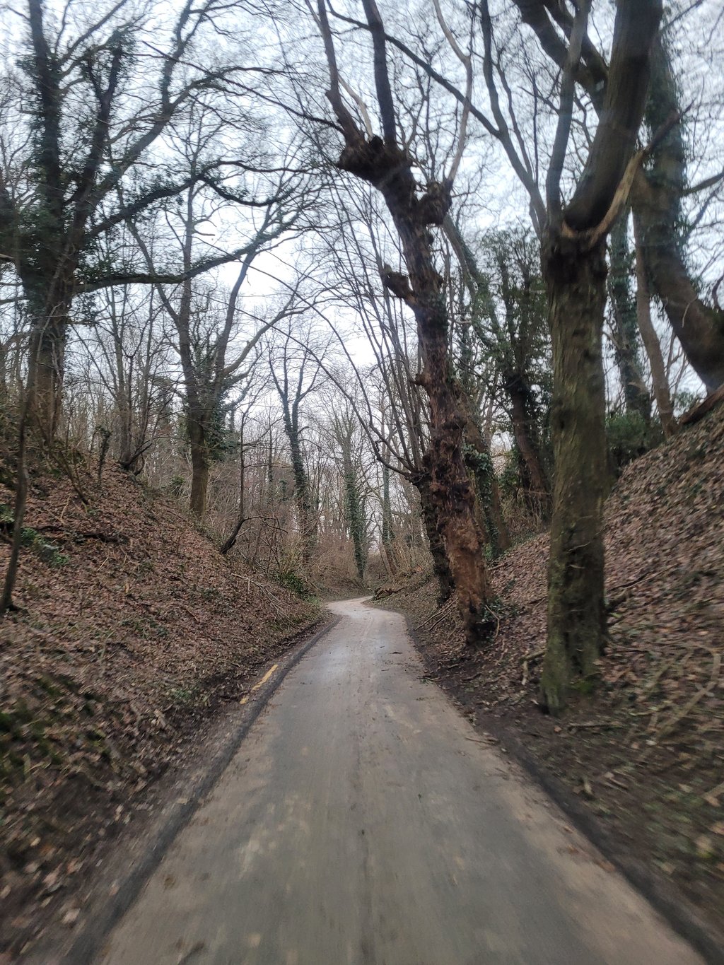
One of the most beautiful climbs in the area. A nice long run through a wooded area. The climb starts between built-up areas, but soon you leave the built-up area and the forest begins. At the chapel you have to keep left, otherwise you end up on a cart track that is only passable on foot (part of the Pieterpad) or by MTB. After the chapel, the climb continues for a long time between steep slopes. The asphalt is fine, although it was muddy this time (early February).
Een van de mooiste klimmen in de omgeving. Een mooie lange loper door een bosrijke omgeving. De klim begint tussen bebouwing, maar als snel verlaat je de bebouwde kom en begint het bos. Bij de kapel moet je links aanhouden, anders beland je op een karrenspoor dat alleen te voet (onderdeel van het Pieterpad) of per MTB begaanbaar is. Na de kapel trekt de klim nog lekker lang door tussen flinke taluds. Het asfalt ligt er prima bij, alhoewel het nu wel modderig was (begin februari).
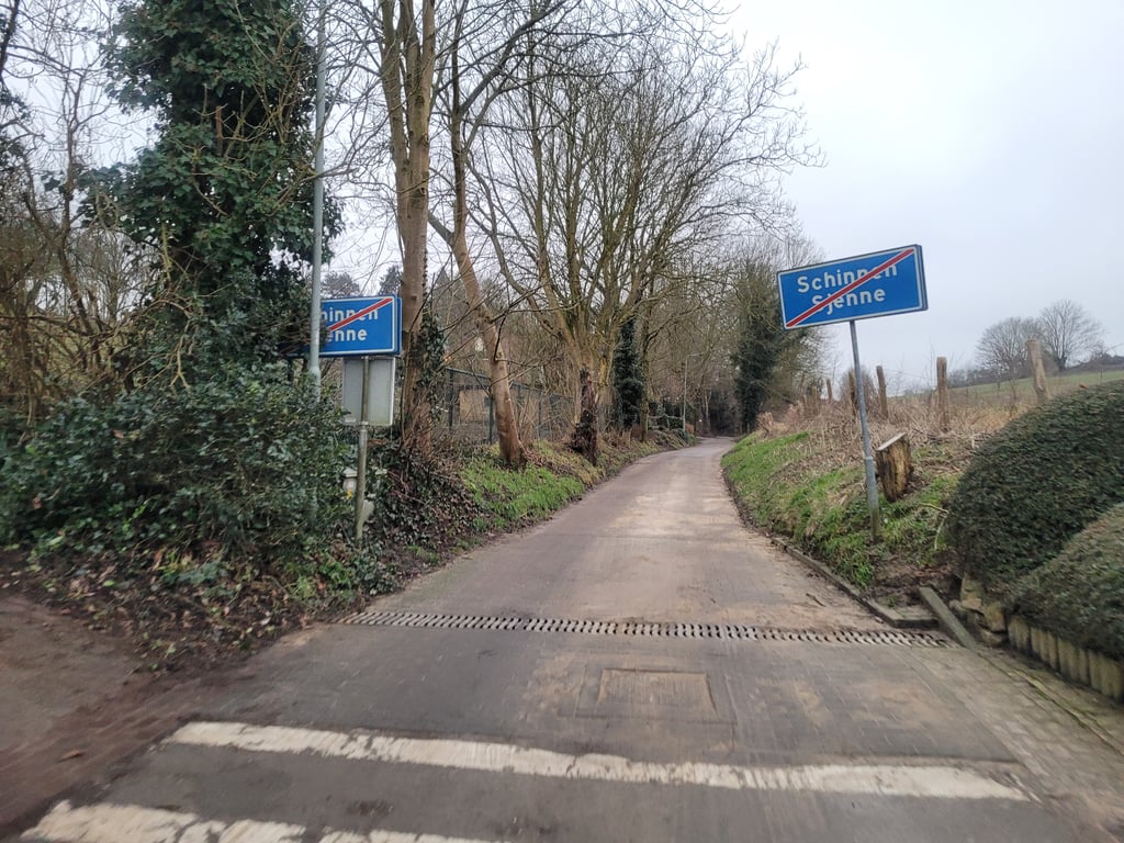
One of the climbs from the hamlet of Nagelbeek to the plateau between Nuth and Spaubeek. The first part you ride between houses and after the built-up area you ride in/under greenery. Except for the last 200 metres, the entire climb is false flat and you can ride up in a relaxed manner.
Eén van de beklimmingen vanuit het buurtschap Nagelbeek naar het plateau tussen Nuth en Spaubeek. Het eerste stuk rij je tussen de huizen door en na de bebouwing rij je in/onder het groen. Op de laatste 200 meter na is de gehele klim vals plat en kan je relaxt naar boven rijden.
A very gentle climb, however, that leads through a very nice hollow road and passes a road chapel. After about halfway, the road is used for water drainage. So there is a chance that you can cycle up through a stream. Now the water runs mainly through the middle and there is a dry strip on the sides, but sometimes you have to cross the middle of the road (and thus the water stream) to get a dry strip. At the end you leave the hollow road and it gets a little steeper. At the T-junction you can turn left for some extra altitude meters. Good asphalt but sometimes there can be (mainly by leaves) some dirt on the road.
Een heel rustige klim die echter wel door een heel fraaie en behoorlijk slingerende holle weg voert en langs een wegkapelletje komt. Na ongeveer de helft wordt de weg gebruikt voor waterafvoer. Er is dus een kans dat je door een beekje naar boven kan fietsen. Nu loopt het water vooral door het midden en is er aan de zijkanten wel een droge strook, maar soms moet je het midden van de weg (en dus de waterstroom) even oversteken om een droge strook te pakken. Op het eind verlaat je de holle weg en wordt het even steiler. Op de T-splitsing kan je nog linksaf voor wat extra hoogtemeters. Prima asfalt maar soms kan er (vooral door bladeren) wat vuil op de weg liggen.
| 5 mph | 00:12:29 |
| 7 mph | 00:08:50 |
| 9 mph | 00:06:53 |
| 12 mph | 00:05:10 |
This page is better in the app