View on map
© MapLibre | OpenStreetMap contributors
1%
2%
4%
6%
8%
10%
12%
15%
20%

Gralingen from Brandenbourg

3.5
2 reviews | Elevation profile | 2 photos
Tips nearby
Gralingen from Brandenbourg
transparant thumb
transparant thumb
transparant thumb
transparant thumb
transparant thumb
transparant thumb
Your achievable time
Calculating based on your best performances...
Relaxed
Maximum
W/kg
W/kg
W/kg
Analyze your climbing performance
Detailed insight into your climbing performance & automatically check off climbs
Based on your best performances.
Your best attempt:
Number of attempts:
Elevation profile Gralingen from Brandenbourg

Statistics

Difficulty points 114
Length 1.6 mi
Average gradient 6.5%
Steepest segment 9.6%
Total ascent 531 ft

Short recap

2 hairpin turns
#59 toughest climb of Nordstad
#41 most elevation gain of Nordstad
#49 longest climb of Nordstad
#60 average steepest climb of Nordstad
Feedback about this climb?
Show climbs nearby Export to GPS device

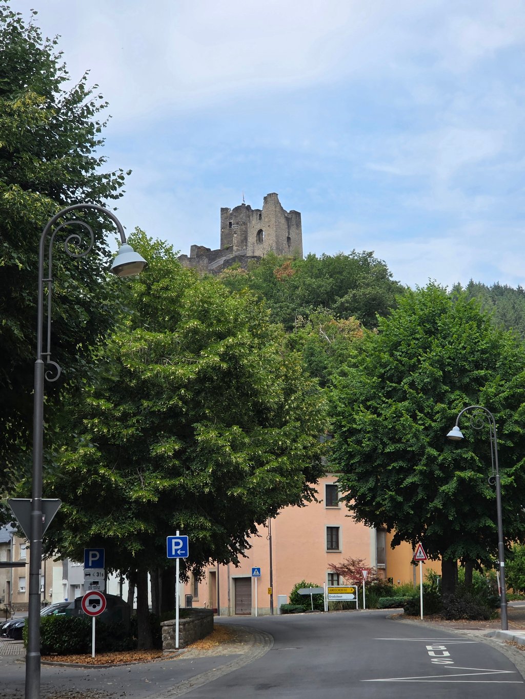
Gralingen from Brandenbourg is a climb in the region Nordstad. It is 1.6 mi long and bridges 531 ft of vertical ascent with an average gradient of 6.5%, resulting in a difficulty score of 114. The top of the ascent is located at 1591 ft above sea level. Climbfinder users shared 2 reviews of this climb and uploaded 2 photos.

Road name: Rue Principale

3.0 by YordiZ
This is an automatic translation, the original language is: Dutch.
A substantial climb through the forest. That is the best description of this road to Gralingen. It took me a while to get there. I came from a nice long descent and then turned towards Gralingen. At low speed, I started cycling the first few metres through the forest where, until the hairpin bends, you keep going up by about 8%. In the bends you can recover for a while after which it is still a little bit heavy and then it also flattens out a bit when exiting the forest.... read more

Photos (2)

Gralingen from Brandenbourg
transparant thumb
transparant thumb
transparant thumb
transparant thumb

Your uploads (max 4)

Welcome! Please activate your account if you would like to share something. Look for the verification email in your inbox.

If you want to upload your photos, you need to create an account. It only takes 1 minute and it's completely free.

  • Receive free climbfinder goodies for your reviews & photos.
  • Create a bucket list and check off conquered climbs.
  • Add missing climbs.
Continue with GoogleContinue with Google Continue with FacebookContinue with Facebook Continue with AppleContinue with Apple Sign up with email
By signing up you agree to our terms of service and confirm that you have read our privacy & content policy.

Reviews (2)

5.0
4.0
3.0
2.0
1.0
YordiZ
2 y 3.0
This is an automatic translation, the original language is: Dutch. Show original

A substantial climb through the forest. That is the best description of this road to Gralingen. It took me a while to get there. I came from a nice long descent and then turned towards Gralingen. At low speed, I started cycling the first few metres through the forest where, until the hairpin bends, you keep going up by about 8%. In the bends you can recover for a while after which it is still a little bit heavy and then it also flattens out a bit when exiting the forest.

Een flink klimmetje door het bos. Dat is de beste omschrijving van deze weg naar Gralingen. Het hakte er bij mij wel even in. Ik kwam uit een lekkere lange afdaling en sloeg toen af richting Gralingen. Met lage snelheid begon ik zo aan de eerste meters door het bos waar je tot de haarspeldbochten steeds met ongeveer 8% omhoog gaat. In de bochten kun je even herstellen waarna het nog een klein stukje zwaar is en het dan bij het uitrijden van het bos ook wat afvlakt.

Dashboard
RoyL
4 y 4.0
This is an automatic translation, the original language is: Dutch. Show original

Nice climb, mostly hidden in the forest and with even gradients. At the top towards Maarkebach for beautiful views.

Lekkere beklimming, grotendeels verscholen in het bos en met gelijkmatige stijgingspercentages. Bovenop richting Maarkebach voor mooie vergezichten.

Gralingen from Brandenbourg
Dashboard

Climbing times

5 mph 00:18:42
7 mph 00:13:14
9 mph 00:10:19
12 mph 00:07:45

Road surface condition

100% 0% 0%
Based on 2 votes
Share your knowledge. What was the road condition during your ascent?

Traffic

100% 0% 0%
Based on 2 votes
Your experience counts. How much traffic did you encounter during the climb?

Frequently Asked Questions

Gralingen can be cycled from 2 sides. Gralingen from Brandenbourg is the most popular side, but the summit can also be reached via Gralingen from Maarkebaach.

You don't need special gearing for Gralingen from Brandenbourg. The slope isn't long or steep enough to require much shifting down. You can conquer this climb on power alone. However, a compact gearing system with a smallest front chainring of 34 and largest rear sprocket of 28 or 30 is always nice if you enjoy cycling uphill. This helps maintain a smooth cadence.

Gralingen from Brandenbourg is a 4th-category climb. A sprint to the top is usually not an option, and untrained riders will definitely feel it in their legs. For trained cyclists, it is a great training climb.

Gralingen from Brandenbourg is 1.6 mi long.

The average gradient of Gralingen from Brandenbourg is 6.5%.

Gralingen from Brandenbourg has a steepest segment with an average gradient of 9.6%.

The summit of Gralingen from Brandenbourg is at 1591 ft.

At a slow pace of 5 mph, it takes about 00:18:42 to climb Gralingen from Brandenbourg. At 7 mph the time is 00:13:14, and at 9 mph 00:10:19. For the fastest cyclists, 00:07:45 is an achievable time.

Gralingen from Brandenbourg is located in the region Nordstad in Luxembourg.

This page is better in the app

Climbfinder app
Climbfinder
(Free)
Open