Herikerberg from Goor is a climb in the region Salland Ridge. It is 0.7 mi long and bridges 108 ft of vertical ascent with an average gradient of 2.9%, resulting in a difficulty score of 12. The top of the ascent is located at 154 ft above sea level. Climbfinder users shared 3 reviews of this climb and uploaded 5 photos.
This is an automatic translation, the original language is: Dutch.
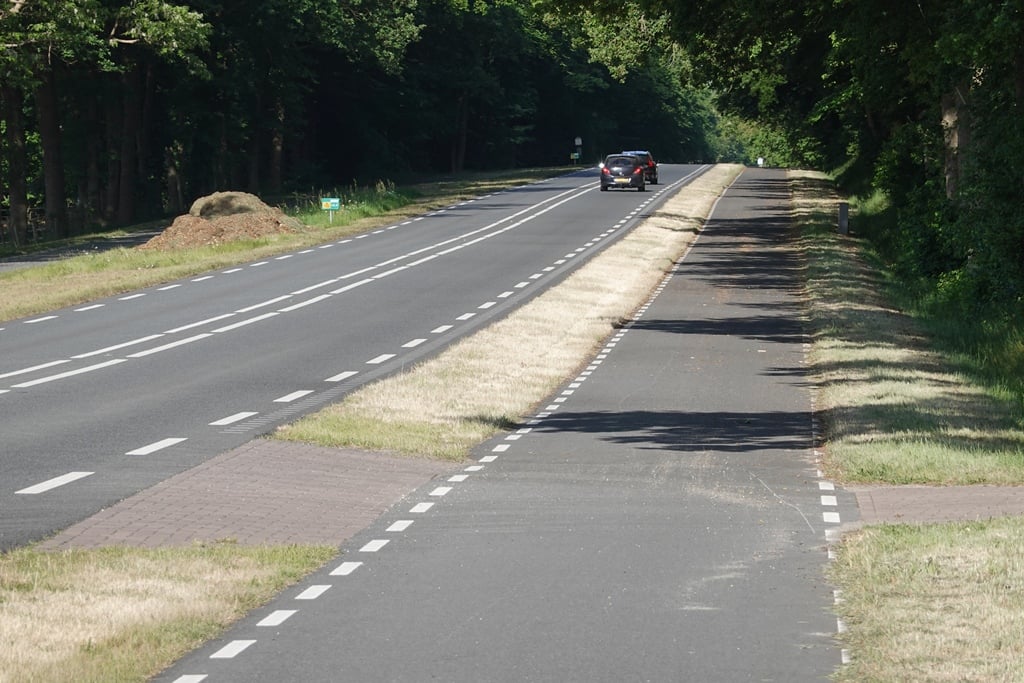
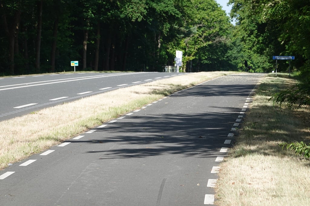
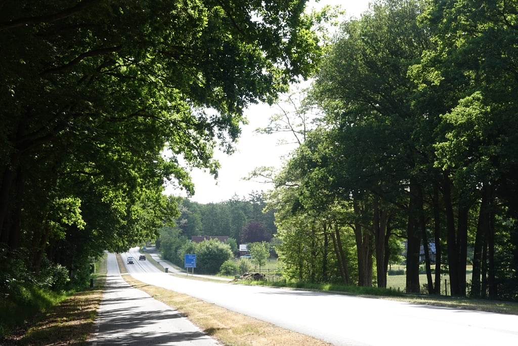
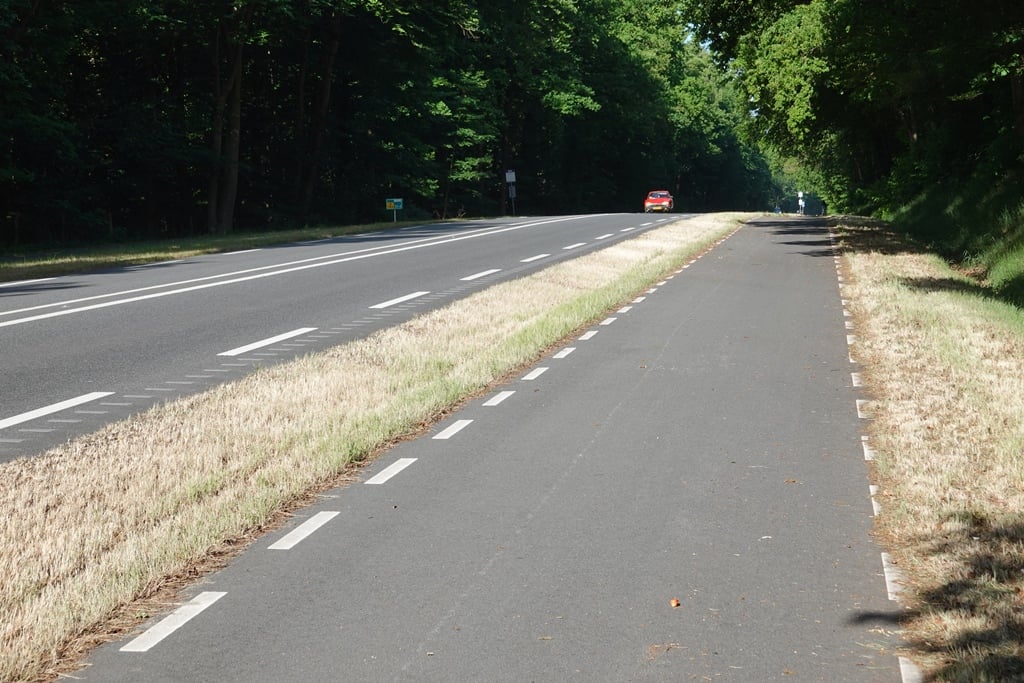
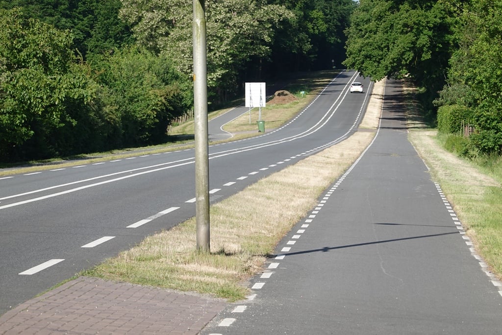
Climb along a good and wide tarmac cycle path next to a dead straight road and as you arrive, you can see the steep part of the climb quite nicely in front of you. Once on the slope, it turns out not to be so steep although there is indeed a gradient, with it continuing after the steeper section to the clear highest point....read more
Photos (5)
Welcome! Please activate your account if you would like to share something. Look for the verification email in your inbox.
This is an automatic translation, the original language is: Dutch.
Show original
Climb along a good and wide tarmac cycle path next to a dead straight road and as you arrive, you can see the steep part of the climb quite nicely in front of you. Once on the slope, it turns out not to be so steep although there is indeed a gradient, with it continuing after the steeper section to the clear highest point.
Klim over een goed en breed asfaltfietspad naast een kaarsrechte weg en als je aan komt fietsen zie je het steile gedeelte van de klim wel heel mooi voor je liggen. Eenmaal op de helling blijkt het wel mee te vallen al is er wel degelijk een helling, waarbij die na het steilere gedeelte nog doorloopt tot het duidelijke hoogste punt.
This is an automatic translation, the original language is: Dutch.
Show original
You cycle here on the bike path along the main road. The road goes straight on so you can see the climb clearly in front of you. When you arrive on the bike it seems heavier than it is. When the road starts to climb you notice that you can go up with a big gear. Only when there is a strong headwind it can get difficult here.
Je fietst hier over het fietspad langs de grote weg. De weg loopt rechtuit waardoor je de klim duidelijk voor je ziet. Als je aan komt fietsen lijkt het daardoor zwaarder dan dat het is. Wanneer de weg begint op te lopen merk je dat je met een groot verzet naar boven kunt. Alleen bij sterke tegenwind kun je het hier lastig krijgen.
You don't need special gearing for Herikerberg from Goor. The slope isn't long or steep enough to require much shifting down. You can conquer this climb on power alone. However, a compact gearing system with a smallest front chainring of 34 and largest rear sprocket of 28 or 30 is always nice if you enjoy cycling uphill. This helps maintain a smooth cadence.
Herikerberg from Goor is not tough enough to be assigned a mountain category. This means that even untrained cyclists can reach the top without any problems on this climb.
Herikerberg from Goor is 0.7 mi long.
The average gradient of Herikerberg from Goor is 2.9%.
Herikerberg from Goor has a steepest segment with an average gradient of 5.2%.
The summit of Herikerberg from Goor is at 154 ft.
At a slow pace of 5 mph, it takes about 00:08:36 to climb Herikerberg from Goor. At 7 mph the time is 00:06:05, and at 9 mph 00:04:45. For the fastest cyclists, 00:03:34 is an achievable time.