Gaichtpass is a climb in the region Allgäu Alps. It is 2.7 mi long and bridges 715 ft of vertical ascent with an average gradient of 5%, resulting in a difficulty score of 127. The top of the ascent is located at 3609 ft above sea level. Climbfinder users shared 3 reviews of this climb and uploaded 2 photos.
This is an automatic translation, the original language is: English.
This is quite a popular local pass, so expect a ton of traffic. It does lead into a beautiful valley, so it's definitely worth it.
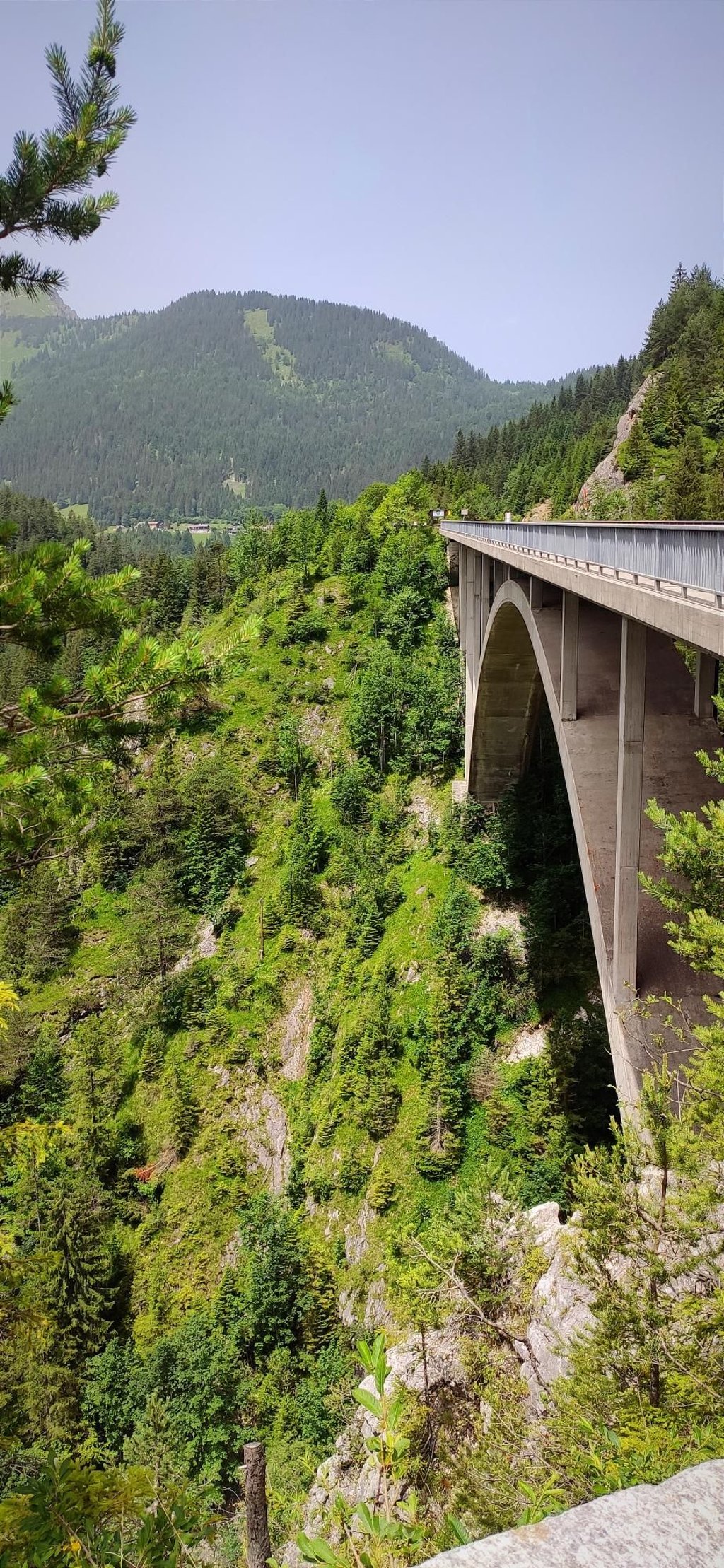
There's a small cafe/restaurant at the top, just next to the bridge.
There's actually an old medieval road right next to this one that used to serve as the pass, but it's very loose gravel and not suitable for road bikes....read more
Photos (2)
Welcome! Please activate your account if you would like to share something. Look for the verification email in your inbox.
This is quite a popular local pass, so expect a ton of traffic. It does lead into a beautiful valley, so it's definitely worth it.
There's a small cafe/restaurant at the top, just next to the bridge.
There's actually an old medieval road right next to this one that used to serve as the pass, but it's very loose gravel and not suitable for road bikes.
This is an automatic translation, the original language is: German.
Show original
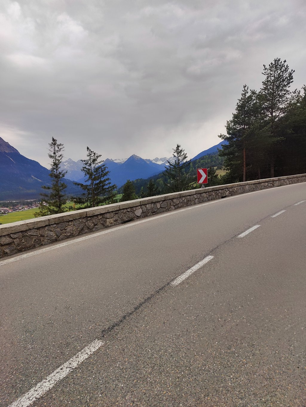
Beautiful route into the Tannheimer Valley, which is really worth seeing. A marvellous view of the Lechtal valley on the ascent! Top road, traffic OK. The Haldensee is picturesque.
Schöne Strecke ins wirklich sehenswerte Tannheimertal. Beim Aufstieg herzliche Aussicht ins Lechtal! Straße top, Verkehr OK. Der Haldensee ist malerisch.
This is an automatic translation, the original language is: German.
Show original
The Gaichtpass does not exist. It is typical for a pass that it goes down from there on both sides. But that is not the case here. It is simply a point on an uphill section. The correct pass would be at the watershed a few kilometres further west.
Den Gaichtpass gibt es nicht. Typisch für einen Pass ist, das es von dort zu beiden Seiten runter geht. Aber das ist hier nicht der Fall. Es ist einfach ein Punkt an einer Steigungsstrecke. Der richtige Pass wäre an der Wasserscheide ein paar km weiter Richtung Westen.
Share your knowledge. What was the road condition during your ascent?
Traffic
0% 67% 33%
Based on 3 votes
Your experience counts. How much traffic did you encounter during the climb?
Frequently Asked Questions
You don't need special gearing for Gaichtpass. The slope isn't long or steep enough to require much shifting down. You can conquer this climb on power alone. However, a compact gearing system with a smallest front chainring of 34 and largest rear sprocket of 28 or 30 is always nice if you enjoy cycling uphill. This helps maintain a smooth cadence.
Gaichtpass is a 4th-category climb. A sprint to the top is usually not an option, and untrained riders will definitely feel it in their legs. For trained cyclists, it is a great training climb.
Gaichtpass is 2.7 mi long.
The average gradient of Gaichtpass is 5%.
Gaichtpass has a steepest segment with an average gradient of 9.9%.
The summit of Gaichtpass is at 3609 ft.
At a slow pace of 5 mph, it takes about 00:32:52 to climb Gaichtpass. At 7 mph the time is 00:23:16, and at 9 mph 00:18:08. For the fastest cyclists, 00:13:37 is an achievable time.
Gaichtpass is located in the region Tyrol in Austria.