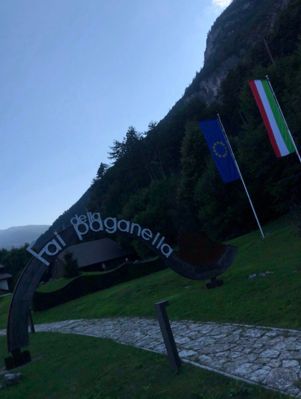
Passo Santel from Mezzolombardo is a climb in the region Trento. It is 8.9 mi long and bridges 2874 ft of vertical ascent with an average gradient of 6.1%, resulting in a difficulty score of 637. The top of the ascent is located at 3675 ft above sea level. Climbfinder users shared 2 reviews of this climb and uploaded 10 photos.
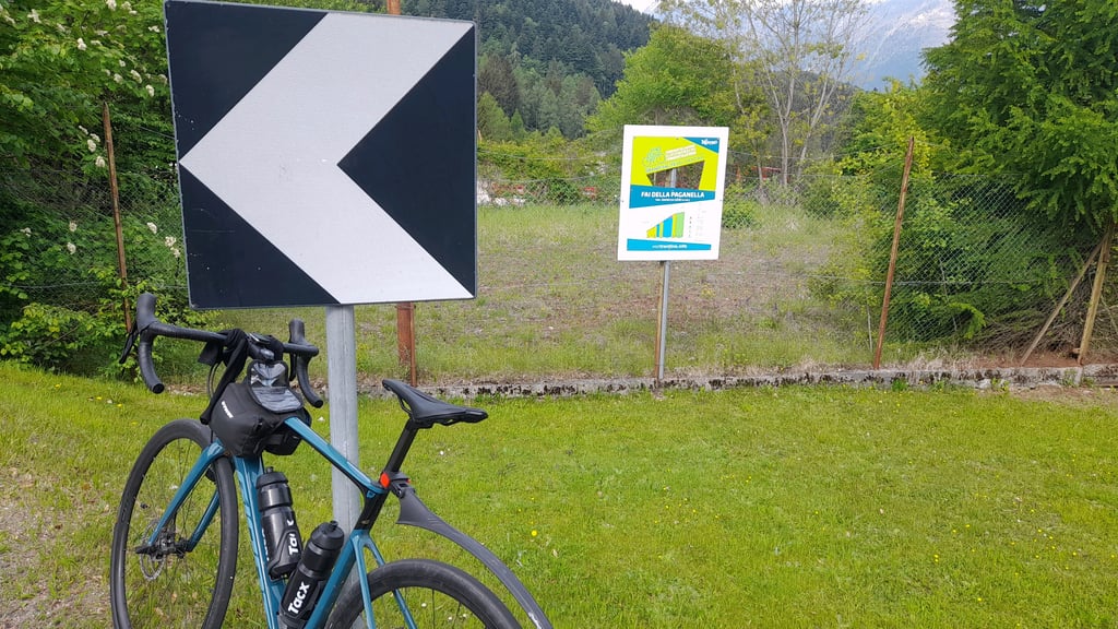
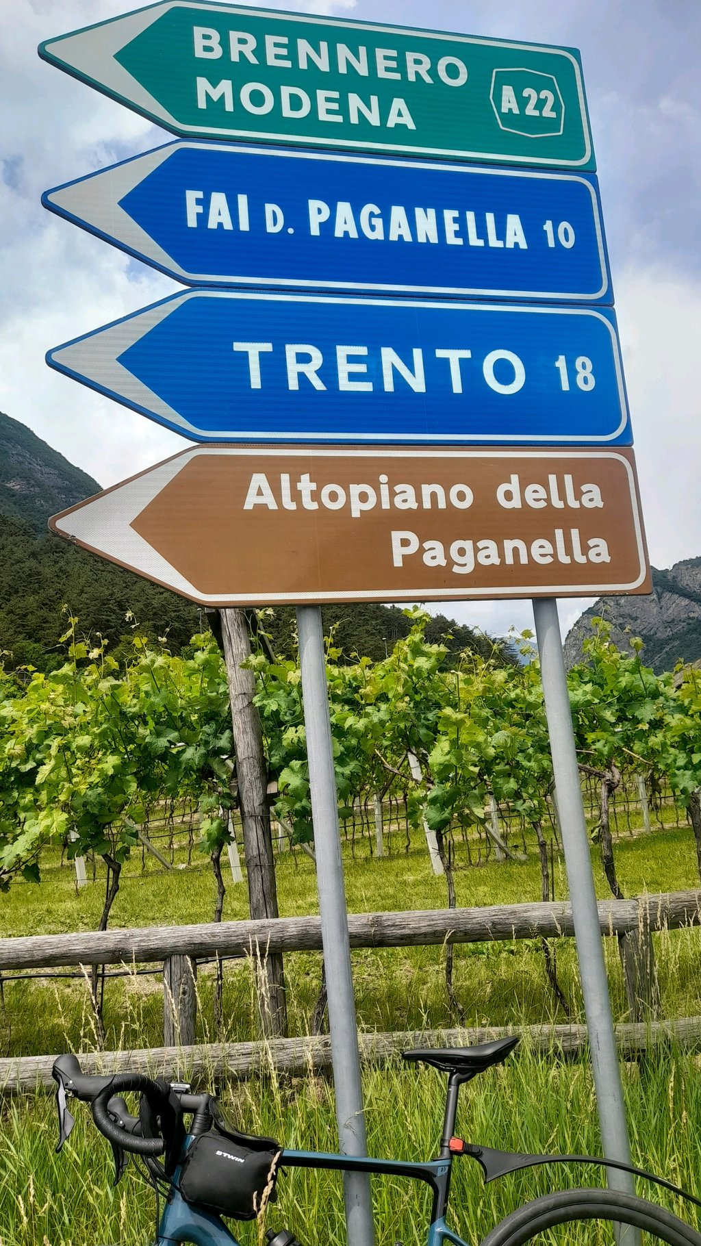
Road names: Via Trento, Via Villa, Via Cesare Battisti, Via Rolando Cembran & SP64
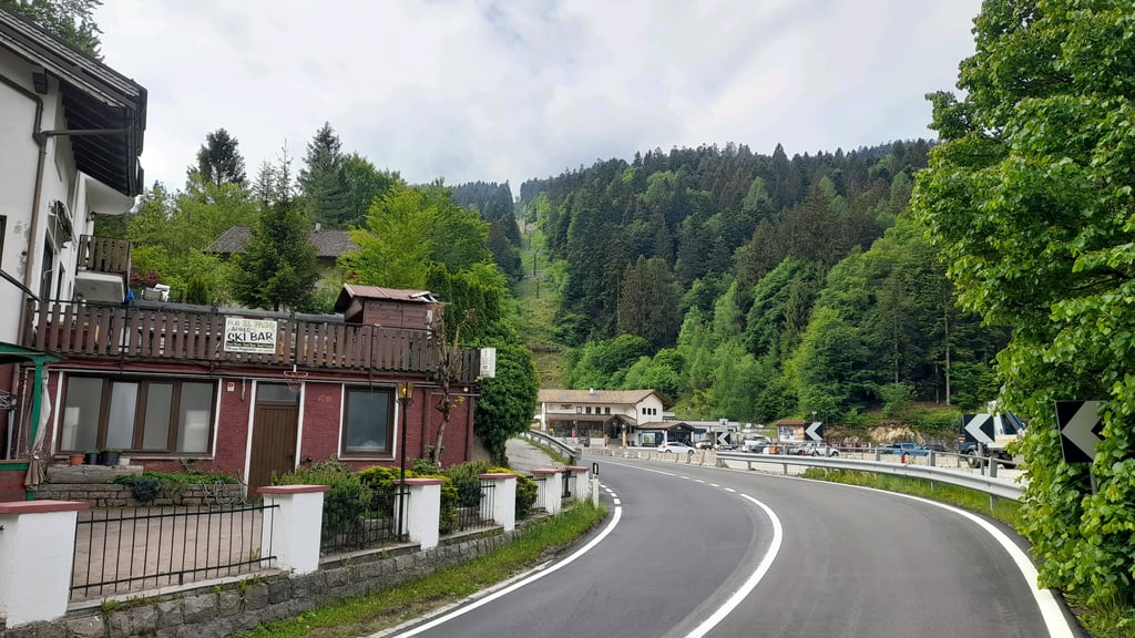
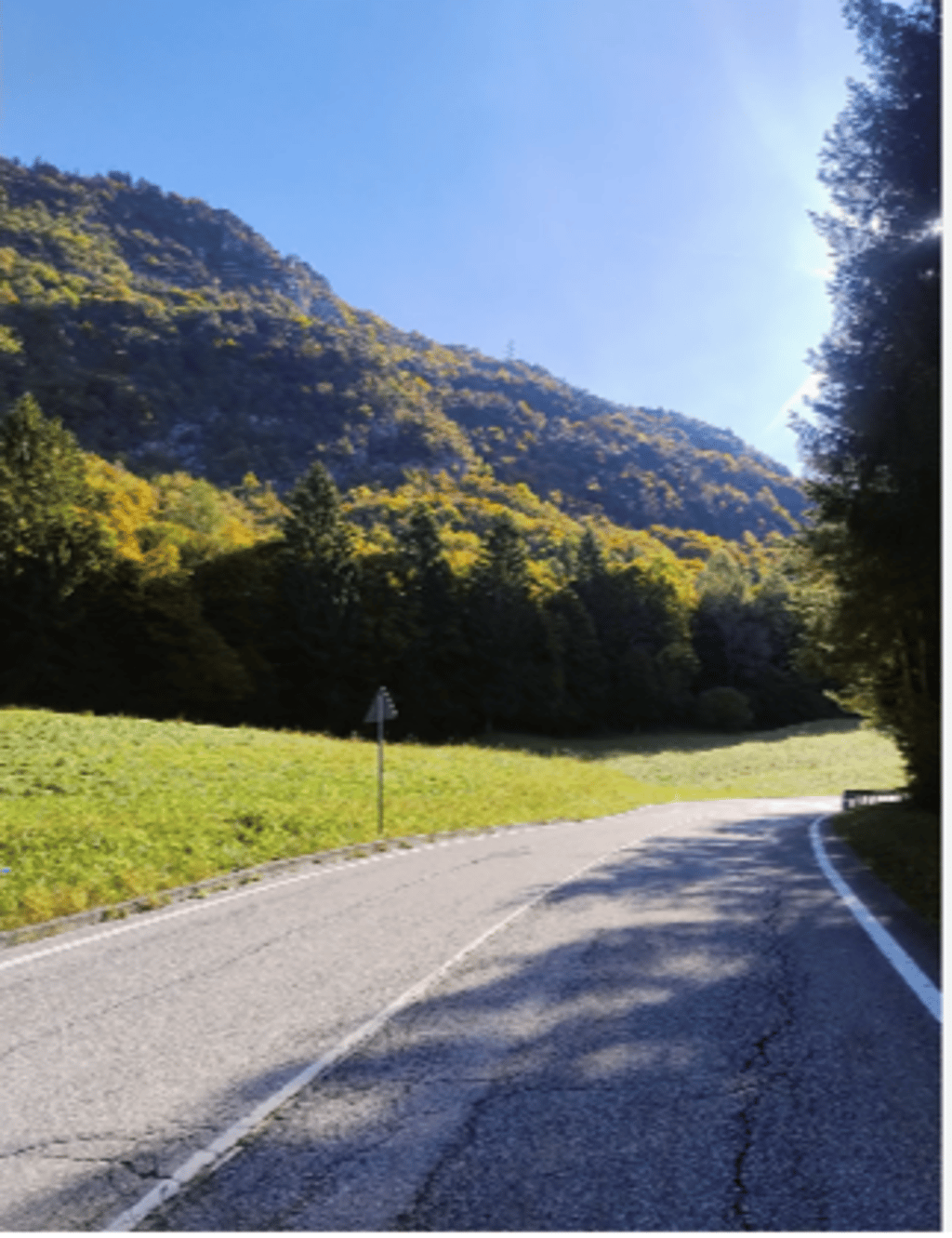
4.0 by JeroenThis is an automatic translation, the original language is: Dutch.A tough little climb with kilometres gradually increasing up to kilometre 9. Each kilometre has a sign with the gradient of the next. Most of the climb you have little view. You cycle between the trees and sometimes it gives some shade. The road is a through-road, but surprisingly quiet. You can really focus on the climb. After kilometre 9, there is a refreshing little fountain on the right-hand side of the road. After this, the spectacle of beautiful views begins. At a certain point, there is ... read more

Welcome! Please activate your account if you would like to share something. Look for the verification email in your inbox.
If you want to upload your photos, you need to create an account. It only takes 1 minute and it's completely free.
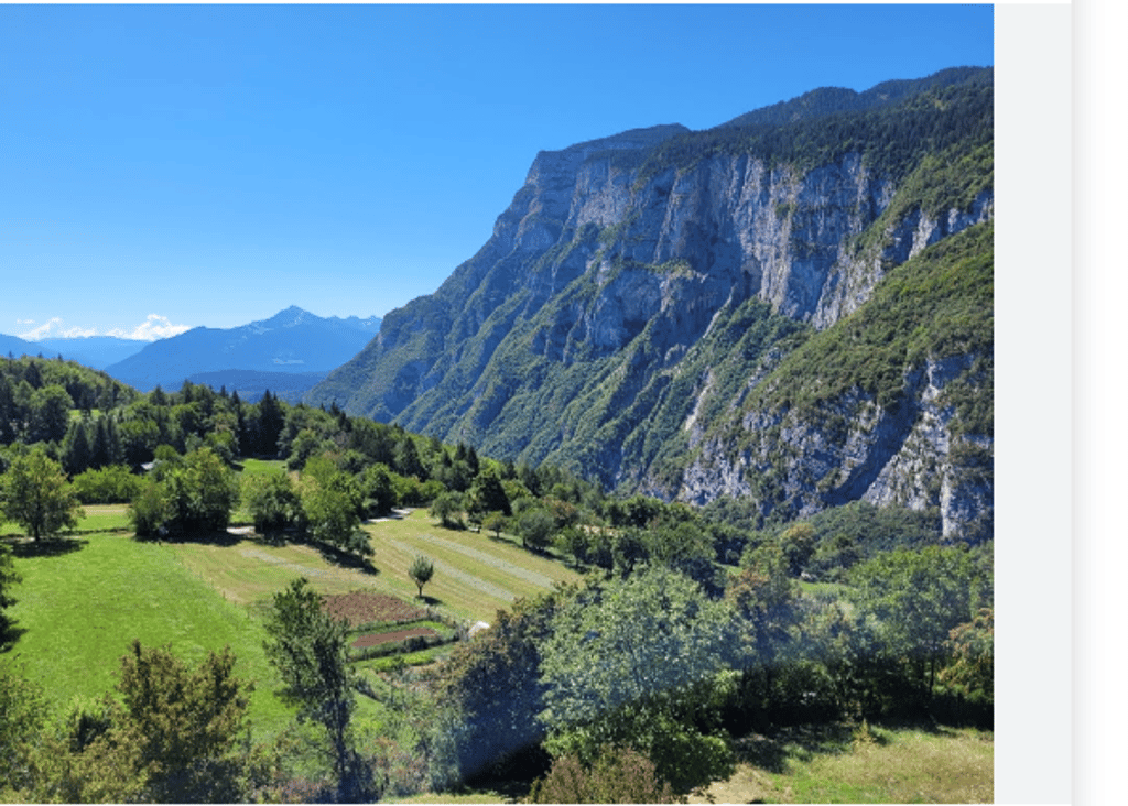
Beautiful climb it is so worth it not only as a detour but really include it in your tour, I recommend it to everyone, not only climbers but also sprinters, sprinters and passers-by because the view is beautiful
Bellissima salita ne vale tanto la pena di farla non solo come deviazione ma proprio includerla nel proprio giro, la consiglio a tutti, non solo scalatori ma anche a velocisti, scattisti e passisti perché il panorama è bellissimo
A tough little climb with kilometres gradually increasing up to kilometre 9. Each kilometre has a sign with the gradient of the next. Most of the climb you have little view. You cycle between the trees and sometimes it gives some shade. The road is a through-road, but surprisingly quiet. You can really focus on the climb.
After kilometre 9, there is a refreshing little fountain on the right-hand side of the road. After this, the spectacle of beautiful views begins. At a certain point, there is a sign that you are at the end of the climb. Please continue in the direction of Andalo. Another bit of climbing in a beautiful forest is finally rewarded with beautiful views.
Pittig klimmetje met tot kilometer 9 progressief oplopende kilometers. Elke kilometer is voorzien van een bordje met het stijgingspercentage van de komende kilometer. Het grootste gedeelte van de klim heb je weinig uitzicht. Je fietst tussen de bomen en soms geeft het wat schaduw. De weg is een doorgaande weg, maar is verrassend rustig. Je kunt je heerlijk focussen op het klimmen.
Na kilometer 9 heb je een heerlijk verkoelend fonteintje aan de rechterkant van de weg. Hierna begint het spektakel van de mooie uitzichten. Op een gegeven moment staat er een bordje dat je aan het einde van de klim bent. Rij hier vooral nog even door richting Andalo. Nog een stukje klimmen in een mooi bos worden uiteindelijk beloond met mooie vergezichten.
| 5 mph | 01:47:16 |
| 7 mph | 01:15:56 |
| 9 mph | 00:59:11 |
| 12 mph | 00:44:27 |
This page is better in the app