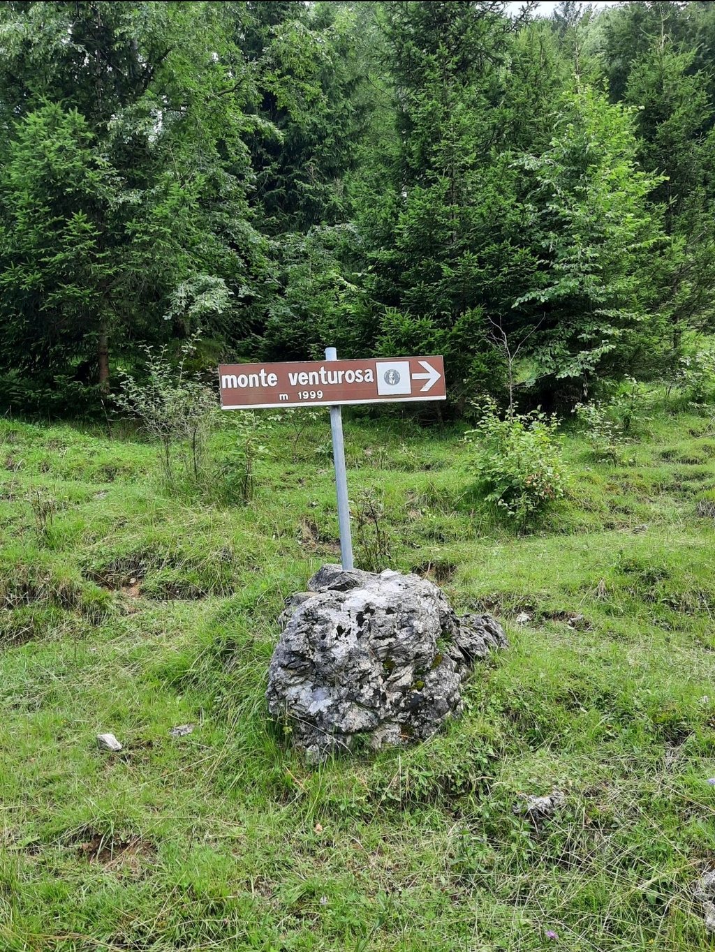
Era from Scalvino is a climb in the region Bergamo. It is 4 mi long and bridges 2123 ft of vertical ascent with an average gradient of 10.1%, resulting in a difficulty score of 785. The top of the ascent is located at 3576 ft above sea level. Climbfinder users shared 1 review/story of this climb and uploaded 5 photos.
This is an automatic translation, the original language is: Italian.
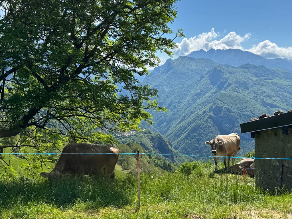
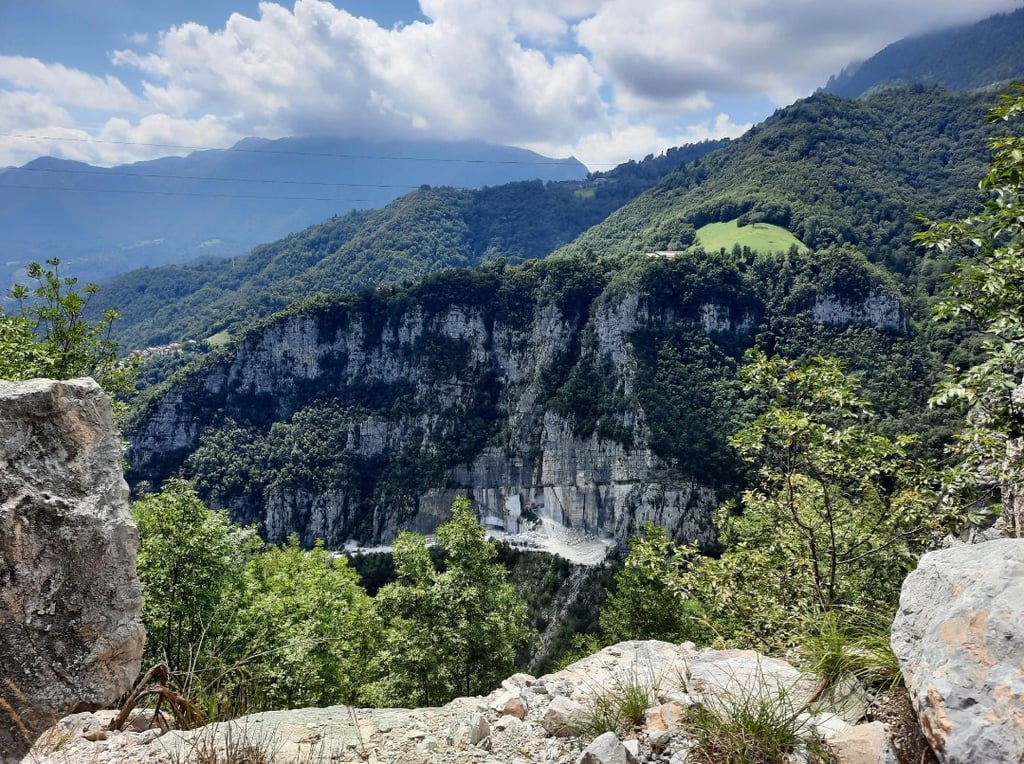
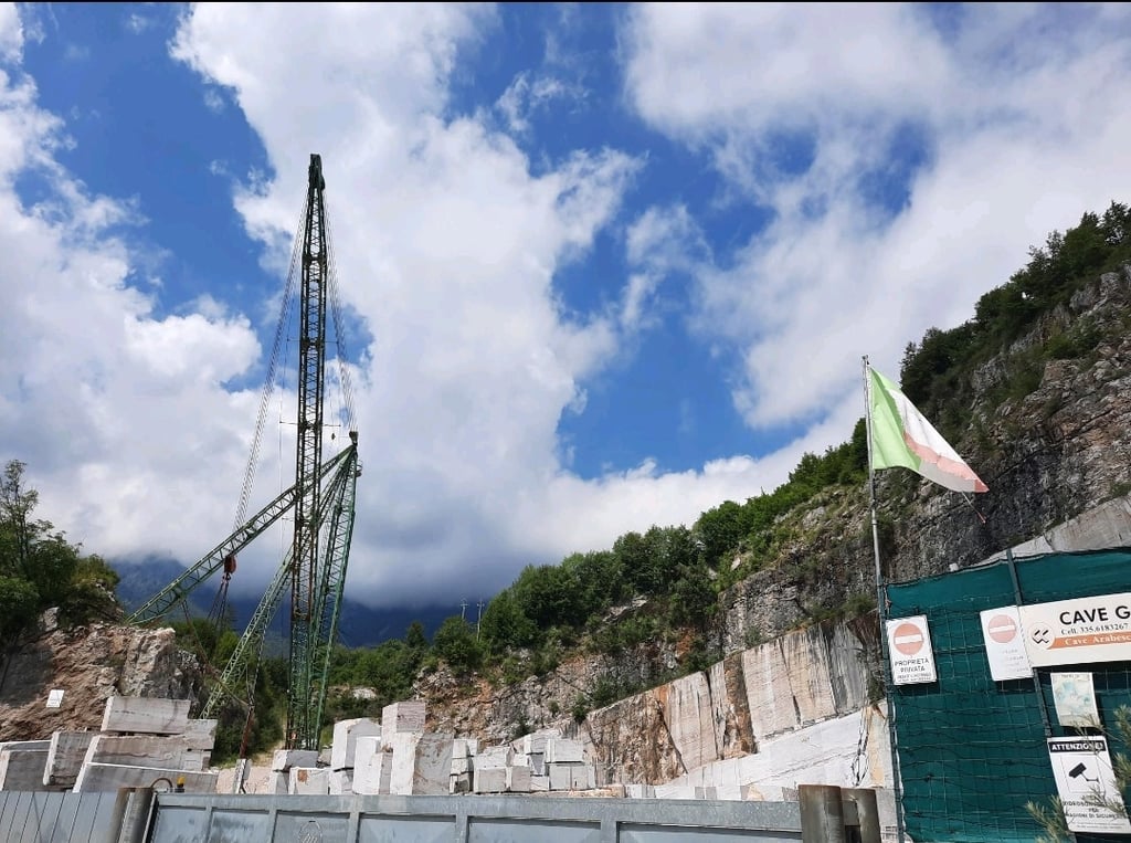
Tough climb and no traffic at all. Bad asphalt and even dangerous in a few places on the way up. You take it from the cycle path by crossing the provincial road carefully. Done at the weekend, I encountered no lorries heading for the quarry. Only one car. Quite shady, which becomes sultry with humidity after a rainstorm. You don't find anything for almost the entire ascent, only sporadic houses at the top when it flattens out after the quarry. Interesting views. You can close a loop with a d...read more
Photos (5)
Welcome! Please activate your account if you would like to share something. Look for the verification email in your inbox.
This is an automatic translation, the original language is: Italian.
Show original
Tough climb and no traffic at all. Bad asphalt and even dangerous in a few places on the way up. You take it from the cycle path by crossing the provincial road carefully. Done at the weekend, I encountered no lorries heading for the quarry. Only one car. Quite shady, which becomes sultry with humidity after a rainstorm. You don't find anything for almost the entire ascent, only sporadic houses at the top when it flattens out after the quarry. Interesting views. You can close a loop with a descent to the beginning of the Taleggio valley. Tough climb from there too... for a long stretch it remains at altitude with many hikers on foot, very few or no cyclists.
Salita dura e per niente trafficata. Asfalto pessimo e persino pericoloso in pochi punti ben visibili salendo. Si prende dalla ciclabile attraversando la strada provinciale con attenzione. Fatta nel weekend non ho incontrato camion diretti alla cava. Una sola automobile. Abbastanza ombreggiato che diventa afoso per l'umidità dopo una piovuta. Non trovi nulla per quasi tutta la salita, solo sporadiche case in alto quando spiana dopo la cava. Interessanti vedute. Si può chiudere un giro ad anello con discesa verso l'inizio della val Taleggio. Salita dura anche da lì... in alto per un lungo tratto rimane in quota con molti escursionisti a piedi, pochissimi o nessun ciclista.
Share your knowledge. What was the road condition during your ascent?
Traffic
0% 0% 0%
Based on 0 votes
Your experience counts. How much traffic did you encounter during the climb?
Frequently Asked Questions
Era from Scalvino is a challenging ascent. For this type of climbing, we recommend mountain gearing, specifically a compact system. This means a small front chainring of 34 teeth, combined with a rear cassette where, depending on your level, strength, and experience, you choose a sprocket with 30, 32, or even 34 teeth. Remember that a smooth cadence is always more efficient!
Era from Scalvino is a first-category climb: long and tough. Do not underestimate this climb. Many famous Tour de France cols fall into this category. Prepare for a long, challenging ride. Only well-trained riders will reach the top smoothly. Make sure you have a road bike with climbing gears and enough training; otherwise, it will be a struggle.
Era from Scalvino is 4 mi long.
The average gradient of Era from Scalvino is 10.1%.
Era from Scalvino has a steepest segment with an average gradient of 21.5%.
The summit of Era from Scalvino is at 3576 ft.
At a slow pace of 5 mph, it takes about 00:47:52 to climb Era from Scalvino. At 7 mph the time is 00:33:53, and at 9 mph 00:26:24. For the fastest cyclists, 00:19:50 is an achievable time.
Era from Scalvino is located in the region Bergamo in Italy.