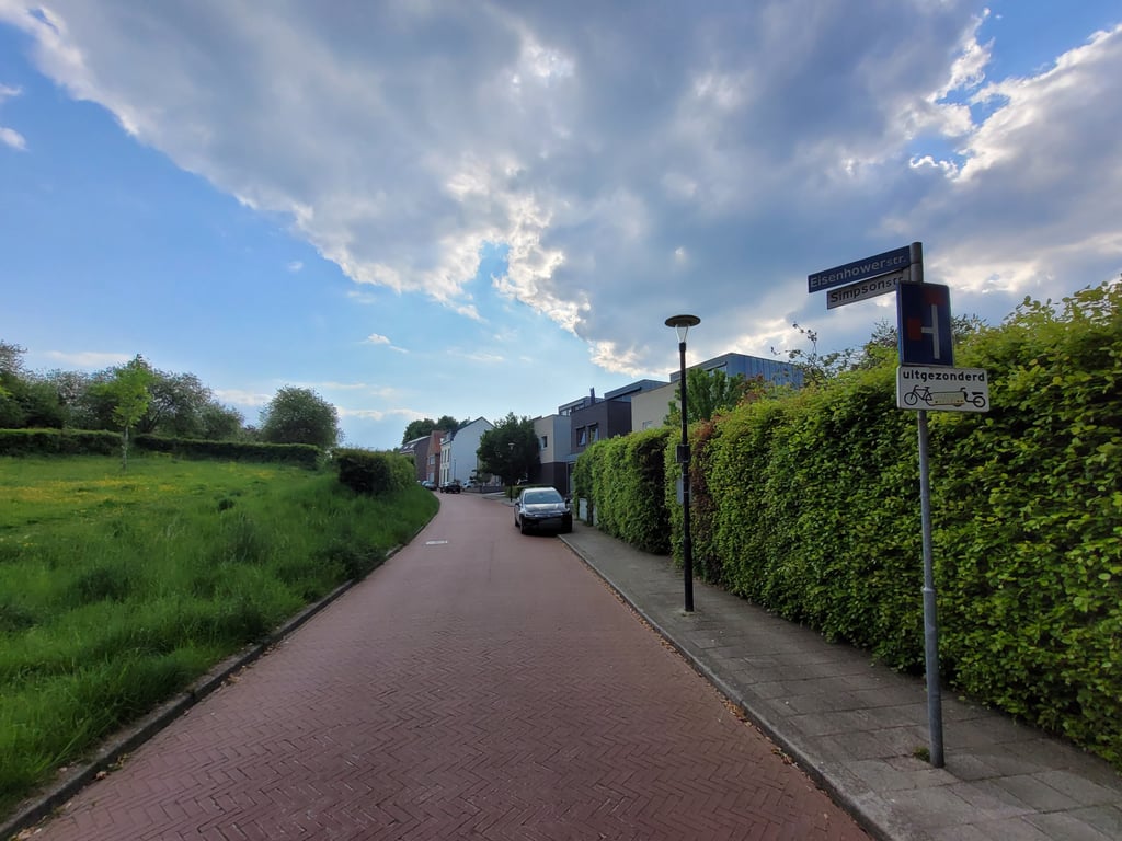
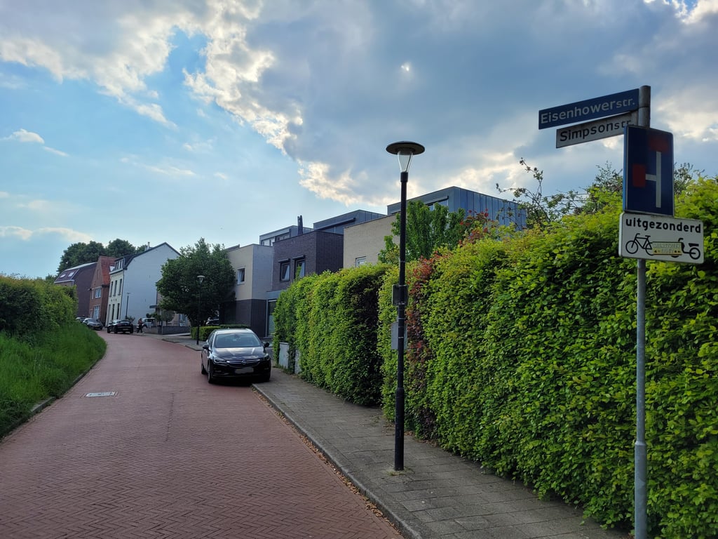
Eisenhowerstraat from Onderste Caumer is a climb in the region South Limburg. It is 0.2 mi long and bridges 39 ft of vertical ascent with an average gradient of 3.8%, resulting in a difficulty score of 5. The top of the ascent is located at 486 ft above sea level. Climbfinder users shared 2 reviews of this climb and uploaded 7 photos.
Road name: Eisenhowerstraat
2.0 by JarinThis is an automatic translation, the original language is: Dutch.Easy climb. You approach the climb from the green, but then the view soon changes and you climb through a residential area up to the roundabout.... read more
Welcome! Please activate your account if you would like to share something. Look for the verification email in your inbox.
If you want to upload your photos, you need to create an account. It only takes 1 minute and it's completely free.
Easy climb. You approach the climb from the green, but then the view soon changes and you climb through a residential area up to the roundabout.
Eenvoudige klim. Je benadert de klim vanuit het groen, maar daarna verandert het uitzicht al snel en klim je door een woonwijk tot aan de rotonde.
Almost a green oasis like this among all the urban buildings. This little climb - which otherwise does not require much effort - starts in the valley of the Caumerbeek and goes up past some houses and a small park. The road dead-ends but there is a cycle path to the roundabout. From there you can go in all directions.
Bijna een groene oase zo tussen alle stedelijke bebouwing. Deze kleine klim - die verder niet veel inspanning vergt - begint in het dal van de Caumerbeek en loopt langs enkele huizen en een parkje naar boven. De weg loopt dood maar er is een fietspad naar de rotonde. Vanuit daar kan je alle kanten op.
| 5 mph | 00:02:23 |
| 7 mph | 00:01:41 |
| 9 mph | 00:01:18 |
| 12 mph | 00:00:59 |
This page is better in the app