Duuster Gats via Lahrstraat is a climb in the region South Limburg. It is 0.6 mi long and bridges 105 ft of vertical ascent with an average gradient of 3.5%, resulting in a difficulty score of 14. The top of the ascent is located at 282 ft above sea level. Climbfinder users shared 3 reviews of this climb and uploaded 6 photos.
Road names: Lahrstraat & Duuster Gats
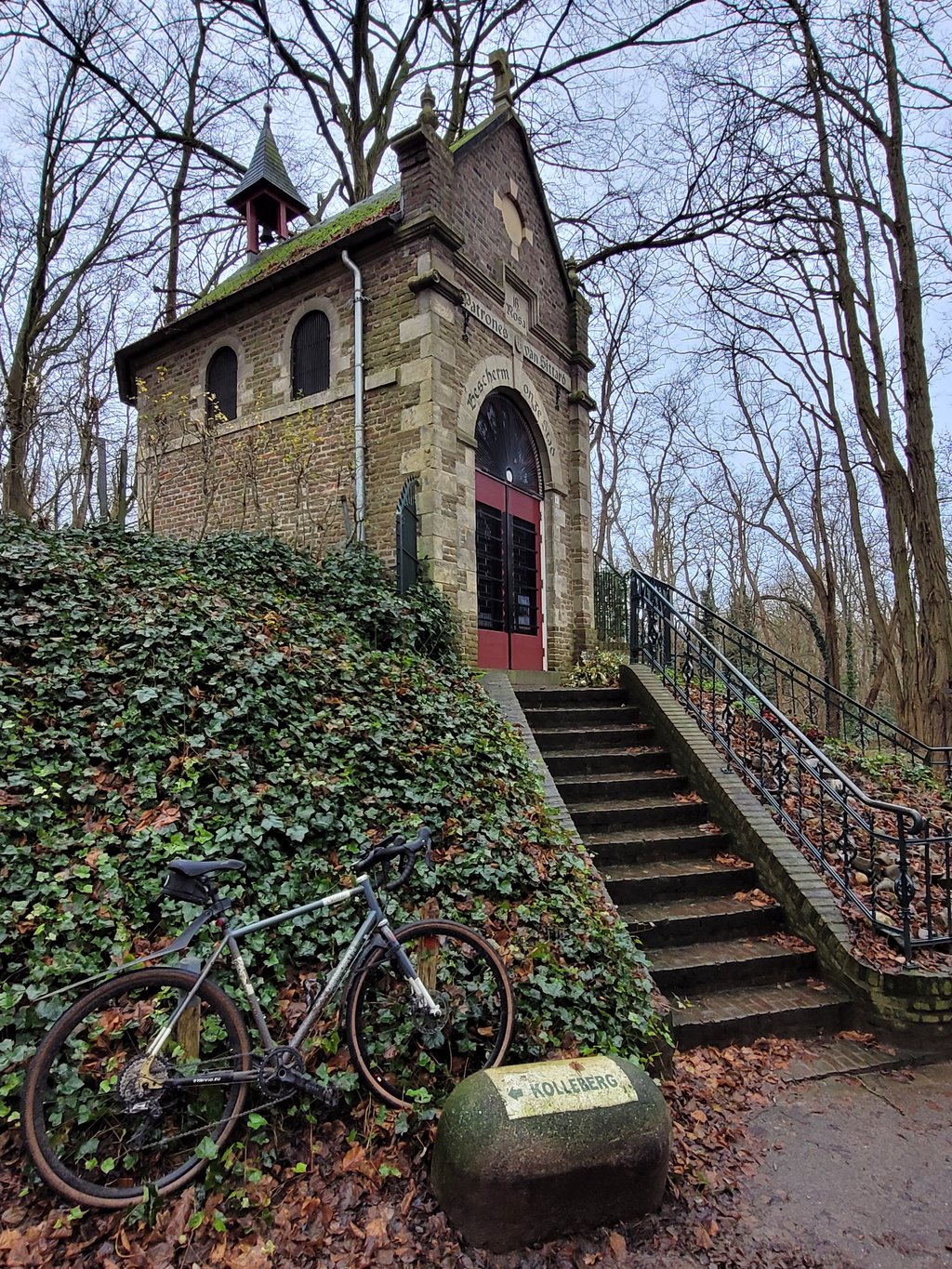
3.0 by ScOgLiOThis is an automatic translation, the original language is: English.Nice little climb with approachable incline. Done on a sunny weekend, there were quite a few people walking/standing on the road, so watch out as you approach the bends as they can be blind. Going down through Kollenberg can also get sketchy as the road is closed by permanent road furniture (to block car entrance): clearly visible, but since it's easy to reach 50 km/h without pedalling, worth to pay attention as you fly downhill towards town... read more
Welcome! Please activate your account if you would like to share something. Look for the verification email in your inbox.
If you want to upload your photos, you need to create an account. It only takes 1 minute and it's completely free.
Nice little climb with approachable incline. Done on a sunny weekend, there were quite a few people walking/standing on the road, so watch out as you approach the bends as they can be blind. Going down through Kollenberg can also get sketchy as the road is closed by permanent road furniture (to block car entrance): clearly visible, but since it's easy to reach 50 km/h without pedalling, worth to pay attention as you fly downhill towards town
The climb was paved last week. A very nice little climb. Once at the top, you come out on the Kollenberg.
De beklimming is vorige week geasfalteerd. Een heel leuk klimmetje. Eenmaal boven kom je op de Kollenberg uit.
Climb through a green environment. The first part on a good tarmac road is very relaxed. After you turn right the character changes. The road becomes unpaved with a narrow asphalt strip (about one meter wide) which is sometimes hard to find because of the mud and sometimes interrupted. Also the percentage goes up but it never becomes difficult. You pass a small monument for an American pilot who crashed here in the Second World War. The end point is at the transmitter mast. Descending is possible via good asphalt roads.
Klim door een groene omgeving. Het eerste deel over een goed asfaltweggetje is erg relaxed. Nadat je rechtsaf bent geslagen verandert het karakter. De weg wordt onverhard met een smalle asfaltstrook (ongeveer een meter breed) die soms moeilijk te vinden is door de modder en soms even wordt onderbroken. Ook gaat het percentage omhoog maar moeilijk wordt het nergens. Je passeert een monumentje voor een Amerikaanse piloot die hier is neergestort in de Tweede Wereldoorlog. Het eindpunt is bij de zendmast. Afdalen is mogelijk via prima asfaltwegen.
| 5 mph | 00:06:49 |
| 7 mph | 00:04:49 |
| 9 mph | 00:03:45 |
| 12 mph | 00:02:49 |
This page is better in the app