View on map
© MapLibre | OpenStreetMap contributors
1%
2%
4%
6%
8%
10%
12%
15%
20%

de Dekt from Moensberg

2.0
3 reviews | Elevation profile | 3 photos
Tips nearby
de Dekt from Moensberg
transparant thumb
transparant thumb
transparant thumb
transparant thumb
transparant thumb
Your achievable time
Calculating based on your best performances...
Relaxed
Maximum
W/kg
W/kg
W/kg
Analyze your climbing performance
Detailed insight into your climbing performance & automatically check off climbs
Based on your best performances.
Your best attempt:
Number of attempts:
Elevation profile de Dekt from Moensberg

Statistics

Difficulty points 32
Length 1.8 mi
Average gradient 2.5%
Steepest segment 8.2%
Total ascent 236 ft
Feedback about this climb?
Show climbs nearby Export to GPS device

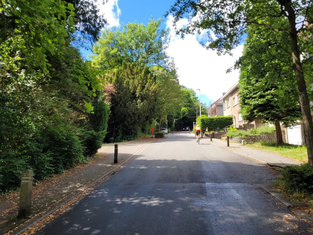
De Dekt from Moensberg is a climb in the region Pajottenland. It is 1.8 mi long and bridges 236 ft of vertical ascent with an average gradient of 2.5%, resulting in a difficulty score of 32. The top of the ascent is located at 387 ft above sea level. Climbfinder users shared 3 reviews of this climb and uploaded 3 photos.

Road names: Molenstraat, Grote Baan & De Dekt

This is an automatic translation, the original language is: Dutch.
Long but unremarkable climb through built-up areas with an intermittent rhythm due to intersections and traffic, although the upper section does ride smoother.... read more

Photos (3)

de Dekt from Moensberg
transparant thumb
transparant thumb
transparant thumb

Your uploads (max 4)

Welcome! Please activate your account if you would like to share something. Look for the verification email in your inbox.

If you want to upload your photos, you need to create an account. It only takes 1 minute and it's completely free.

  • Receive free climbfinder goodies for your reviews & photos.
  • Create a bucket list and check off conquered climbs.
  • Add missing climbs.
Continue with GoogleContinue with Google Continue with FacebookContinue with Facebook Continue with AppleContinue with Apple Sign up with email
By signing up you agree to our terms of service and confirm that you have read our privacy & content policy.

Reviews (3)

5.0
4.0
3.0
2.0
1.0
Piekpionier
2 Mo 2.0
This is an automatic translation, the original language is: Dutch. Show original

Long but unremarkable climb through built-up areas with an intermittent rhythm due to intersections and traffic, although the upper section does ride smoother.

Lange maar weinig opvallende klim door bebouwing met een onderbroken ritme door kruispunten en verkeer, al rijdt het bovenste deel wel vlotter door.

Dashboard
Jarin
1 y 2.0 via the Climbfinder app
This is an automatic translation, the original language is: Dutch. Show original

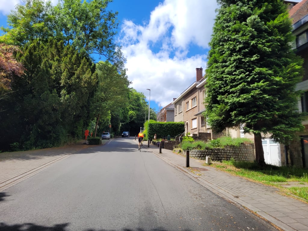
Climb through a built-up area, with a roundabout halfway. Nice walk, but nothing else special.

Klim door een bebouwde kom, met halverwege een rotonde. Lekker lopend, maar verder niks bijzonders.

Dashboard
Franck_Pastor
3 y 2.0
This is an automatic translation, the original language is: French. Show original

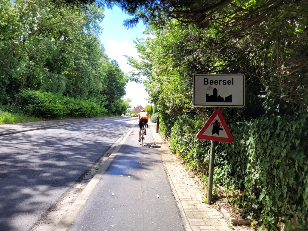
A long, long hill, unfortunately very busy, especially at the beginning, to the point of being borderline dangerous when crossing at this point. After the intersection with the Alsemberg road (a stop is required), the traffic is more bearable. It should be noted that the upper part of this hill has recently been resurfaced.

Longue, longue côte malheureusement très fréquentée, surtout à son début, au point d'être limite dangereuse lors des croisements à cet endroit. Après l'intersection avec la chaussée d'Alsemberg (arrêt indispensable), le trafic est plus supportable. À noter que la partie supérieure de cette côte a été refaite à neuf récemment.

Dashboard

Climbing times

5 mph 00:21:29
7 mph 00:15:12
9 mph 00:11:51
12 mph 00:08:54

Road surface condition

100% 0% 0%
Based on 1 vote
Share your knowledge. What was the road condition during your ascent?

Traffic

0% 0% 100%
Based on 1 vote
Your experience counts. How much traffic did you encounter during the climb?

Frequently Asked Questions

de Dekt can be cycled from 5 sides. Dikkemeerweg is the most popular side, but the summit can also be reached via Sanatoriumstraat from Lakenberg, de Dekt from Moensberg, Hendrik Consciencestraat & Steenrotsstraat & Hendrik Consciencestraat & Meigemheidestraat.

You don't need special gearing for de Dekt from Moensberg. The slope isn't long or steep enough to require much shifting down. You can conquer this climb on power alone. However, a compact gearing system with a smallest front chainring of 34 and largest rear sprocket of 28 or 30 is always nice if you enjoy cycling uphill. This helps maintain a smooth cadence.

de Dekt from Moensberg falls into the 5th category. With good fitness, you can ride it up with speed and power. If you have less training, shift down and climb smoothly.

de Dekt from Moensberg is 1.8 mi long.

The average gradient of de Dekt from Moensberg is 2.5%.

de Dekt from Moensberg has a steepest segment with an average gradient of 8.2%.

The summit of de Dekt from Moensberg is at 387 ft.

At a slow pace of 5 mph, it takes about 00:21:29 to climb de Dekt from Moensberg. At 7 mph the time is 00:15:12, and at 9 mph 00:11:51. For the fastest cyclists, 00:08:54 is an achievable time.

de Dekt from Moensberg is located in the region Flemish Brabant in Belgium.

This page is better in the app

Climbfinder app
Climbfinder
(Free)
Open