| Beautiful scenery |
| #99 toughest climb of Hainaut Province |
| #69 most elevation gain of Hainaut Province |
| #48 longest climb of Pays des Collines |
| #86 average steepest climb of Pays des Collines |
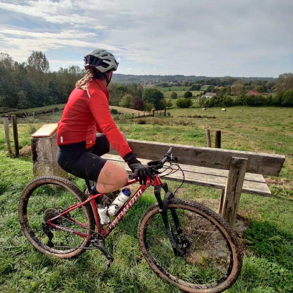
Côte du Paradis is a climb in the region Pays des Collines. It is 1.2 mi long and bridges 269 ft of vertical ascent with an average gradient of 4.2%, resulting in a difficulty score of 47. The top of the ascent is located at 364 ft above sea level. Climbfinder users shared 3 reviews of this climb and uploaded 2 photos.
Road name: Paradis
4.0 by Maikel1989This is an automatic translation, the original language is: Dutch.Nice climb along a narrow road. I'm not entirely sure that this road is fully accessible but as a cyclist you won't easily encounter problems. when I rode, the road surface was especially bad in the first part, with lots of gravel. Once you cross the main road it gets better and the climbing is also more pleasant.... read more
Welcome! Please activate your account if you would like to share something. Look for the verification email in your inbox.
If you want to upload your photos, you need to create an account. It only takes 1 minute and it's completely free.
Nice climb along a narrow road. I'm not entirely sure that this road is fully accessible but as a cyclist you won't easily encounter problems. when I rode, the road surface was especially bad in the first part, with lots of gravel. Once you cross the main road it gets better and the climbing is also more pleasant.
Leuke beklimming langs een smal straatje. Ik ben niet geheel zeker dat deze weg volledig toegankelijk is maar als fietser kom je niet snel problemen tegen. toen ik reed lag vooral in het eerste deel het wegdek er slecht bij, met heel veel steenslag. Eens je de grote weg bent overgestoken wordt het beter en is het klimmen ook aangenamer.
Quiet climb along a narrow street. Too bad you have to cross a busy lane to continue the climb.
Rustige klim langs een smalle straat. Spijtig dat je een drukke baan over moet steken om de klim te vervolgen.
A slope in a quiet and beautiful landscape. The slope is in 2 stages, after the first part follows a flat part where you can launch yourself for the last part. At the height of the last bend, after a bit of downhill, you have a nice view.
Only a pity that the quality of the road surface is less at some places. Especially during the descent towards Planche you have to be alert to avoid bad parts of asphalt.
In short, a slope that is doable for the average cyclist.
Een helling in een rustig en mooi landschap. De helling verloopt in 2 trappen, na het eerste deel volgt een vlak stuk waarop je zich kan lanceren voor het laatste deel. Ter hoogte van de laatste bocht, na stukje bergaf, heb je een mooi uitzicht.
Alleen jammer dat de kwaliteit van het wegdek op sommige plaatsen minder is. Vooral tijdens de afdaling richting Planche moet je alert zijn om slechte delen asfalt te vermijden.
Kortom, een helling die goed te doen is voor de gemiddelde fietser.
| 5 mph | 00:14:31 |
| 7 mph | 00:10:16 |
| 9 mph | 00:08:00 |
| 12 mph | 00:06:01 |
This page is better in the app