View on map
© MapLibre | OpenStreetMap contributors
1%
2%
4%
6%
8%
10%
12%
15%
20%

Route d'Averan from Hourquet via Côte du Hourquet

3.0
1 review/story | Elevation profile | 4 photos
Tips nearby
Route d'Averan from Hourquet via Côte du Hourquet
transparant thumb
transparant thumb
transparant thumb
transparant thumb
Your achievable time
Calculating based on your best performances...
Relaxed
Maximum
W/kg
W/kg
W/kg
Analyze your climbing performance
Detailed insight into your climbing performance & automatically check off climbs
Based on your best performances.
Your best attempt:
Number of attempts:
Elevation profile Route d'Averan from Hourquet via Côte du Hourquet

Statistics

Difficulty points 111
Length 1.2 mi
Average gradient 7.1%
Steepest segment 11.4%
Total ascent 456 ft
Feedback about this climb?
Show climbs nearby Export to GPS device

Route d'Averan from Hourquet via Côte du Hourquet is a climb in the region Hautes-Pyrénées. It is 1.2 mi long and bridges 456 ft of vertical ascent with an average gradient of 7.1%, resulting in a difficulty score of 111. The top of the ascent is located at 2001 ft above sea level. Climbfinder users shared 1 review/story of this climb and uploaded 4 photos.

Road names: Route d'Averan
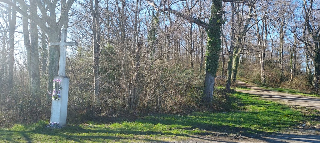
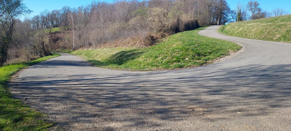
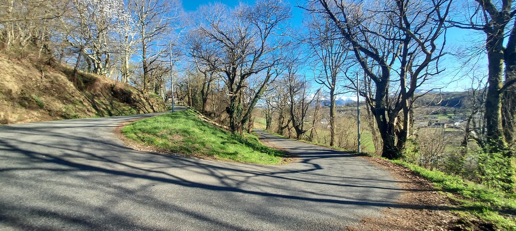
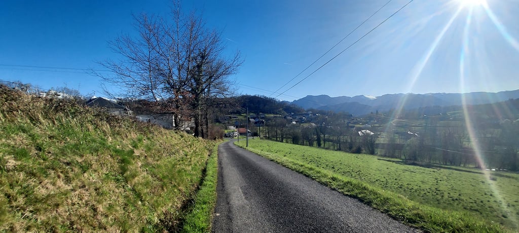
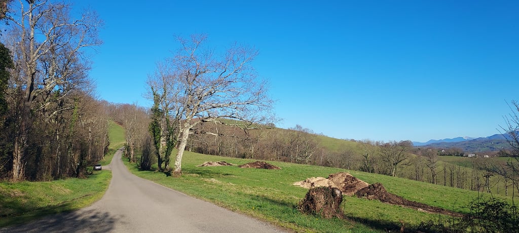
3.0 by HiFolk
This is an automatic translation, the original language is: French.
Averan can be reached from Julos on the D507a. The setting is bucolic, the scenery superb towards the Pyrenees, and the road very little used. It's a steep 2km climb to warm up your legs and make your way along these very "leg-breaking" hills. Beware, however, of the gullies that cross the road several times...... read more

Photos (4)

Route d'Averan from Hourquet via Côte du Hourquet
transparant thumb
transparant thumb

Your uploads (max 4)

Welcome! Please activate your account if you would like to share something. Look for the verification email in your inbox.

If you want to upload your photos, you need to create an account. It only takes 1 minute and it's completely free.

  • Receive free climbfinder goodies for your reviews & photos.
  • Create a bucket list and check off conquered climbs.
  • Add missing climbs.
Continue with GoogleContinue with Google Continue with FacebookContinue with Facebook Continue with AppleContinue with Apple Sign up with email
By signing up you agree to our terms of service and confirm that you have read our privacy & content policy.

Reviews (1)

5.0
4.0
3.0
2.0
1.0
HiFolk
2 Mo 3.0 via the Climbfinder app
This is an automatic translation, the original language is: French. Show original

Averan can be reached from Julos on the D507a. The setting is bucolic, the scenery superb towards the Pyrenees, and the road very little used. It's a steep 2km climb to warm up your legs and make your way along these very "leg-breaking" hills. Beware, however, of the gullies that cross the road several times...

La D507a permet de rejoindre Averan depuis Julos. Le cadre est bucolique , paysage superbe vers la chaîne des Pyrénées et la route très peu empruntée. 2km bien pentu pour se chauffer les jambes et parcourir ces côteaux très ' casse-pattes". Attention toutefois aux rigoles d'évacuation d'eau qui traversent la route a plusieurs reprises...

Route d'Averan from Hourquet via Côte du Hourquet
Dashboard

Climbing times

5 mph 00:14:38
7 mph 00:10:22
9 mph 00:08:04
12 mph 00:06:04

Road surface condition

0% 100% 0%
Based on 1 vote
Share your knowledge. What was the road condition during your ascent?

Traffic

100% 0% 0%
Based on 1 vote
Your experience counts. How much traffic did you encounter during the climb?

Frequently Asked Questions

You don't need special gearing for Route d'Averan from Hourquet via Côte du Hourquet. The slope isn't long or steep enough to require much shifting down. You can conquer this climb on power alone. However, a compact gearing system with a smallest front chainring of 34 and largest rear sprocket of 28 or 30 is always nice if you enjoy cycling uphill. This helps maintain a smooth cadence.

Route d'Averan from Hourquet via Côte du Hourquet is a 4th-category climb. A sprint to the top is usually not an option, and untrained riders will definitely feel it in their legs. For trained cyclists, it is a great training climb.

Route d'Averan from Hourquet via Côte du Hourquet is 1.2 mi long.

The average gradient of Route d'Averan from Hourquet via Côte du Hourquet is 7.1%.

Route d'Averan from Hourquet via Côte du Hourquet has a steepest segment with an average gradient of 11.4%.

The summit of Route d'Averan from Hourquet via Côte du Hourquet is at 2001 ft.

At a slow pace of 5 mph, it takes about 00:14:38 to climb Route d'Averan from Hourquet via Côte du Hourquet. At 7 mph the time is 00:10:22, and at 9 mph 00:08:04. For the fastest cyclists, 00:06:04 is an achievable time.

Route d'Averan from Hourquet via Côte du Hourquet is located in the region Hautes-Pyrénées in France.

This page is better in the app

Climbfinder app
Climbfinder
(Free)
Open