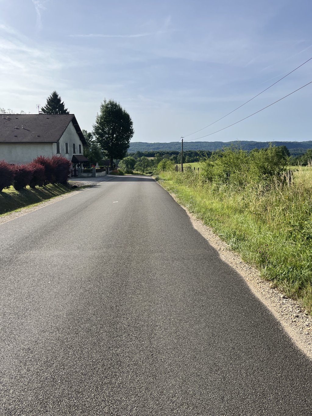
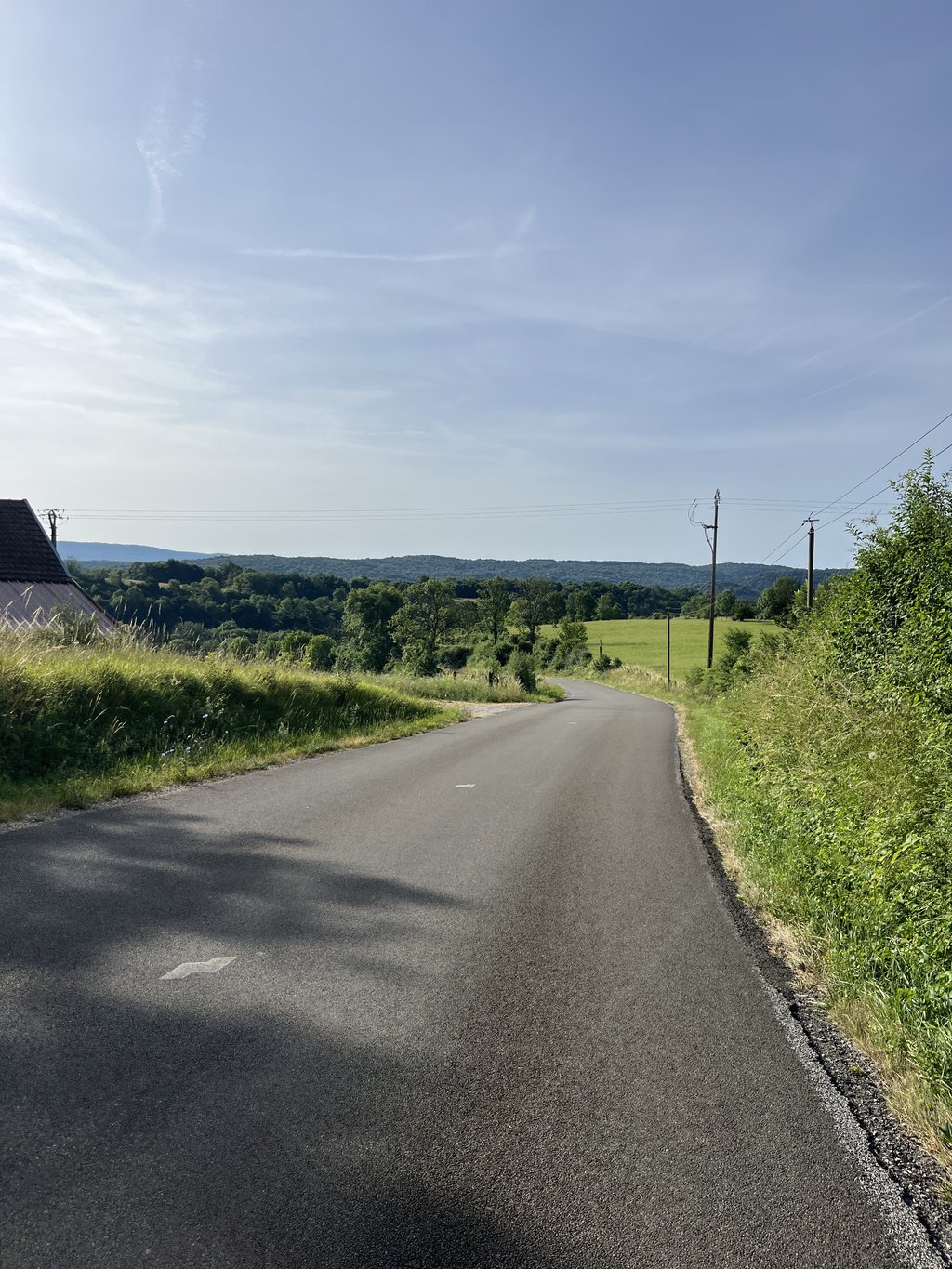
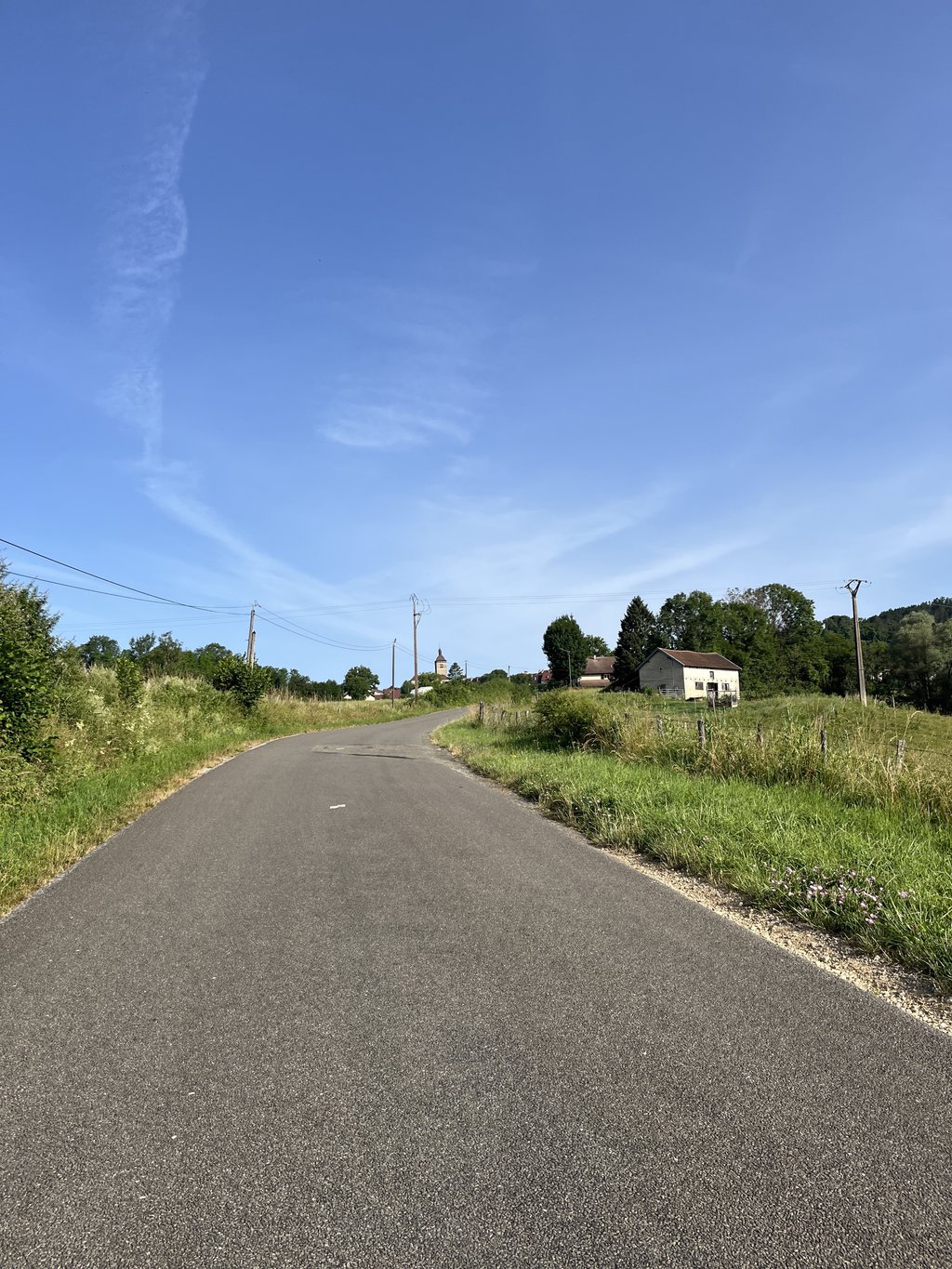
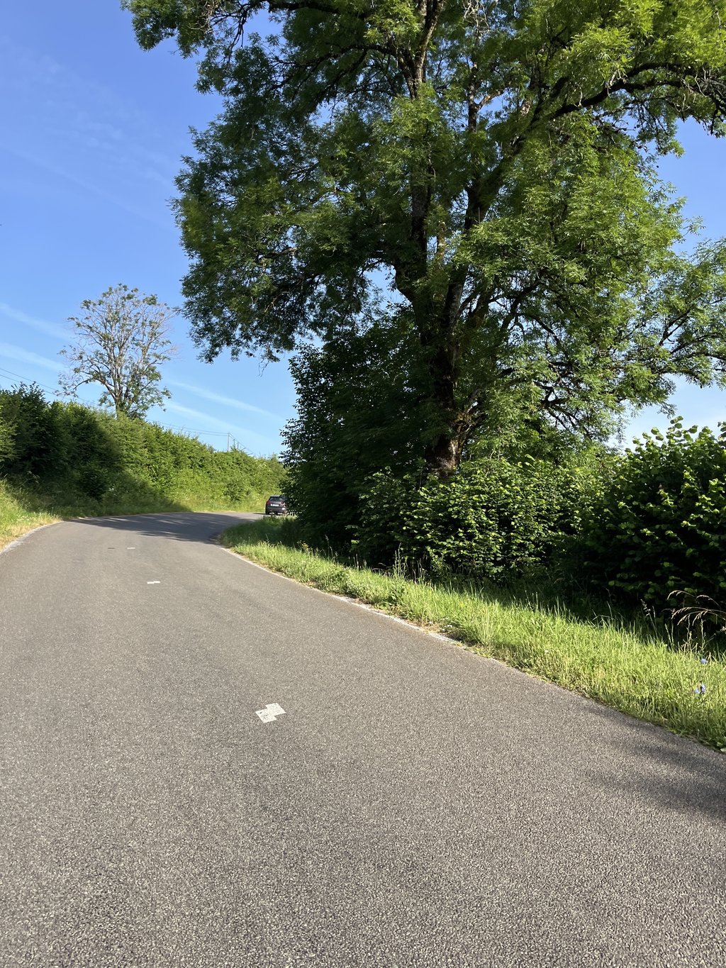
Clairvaux les Lacs from Point de Poitte is a climb in the region Jura. It is 1.8 mi long and bridges 341 ft of vertical ascent with an average gradient of 3.5%, resulting in a difficulty score of 56. The top of the ascent is located at 1854 ft above sea level. Climbfinder users shared 3 reviews of this climb and uploaded 4 photos.
Road names: Rue du Château d'Eau & D 27E3
2.0 by eulmattThis is an automatic translation, the original language is: French.The best route for cyclists heading to Clairvaux. The road is fairly straight through open countryside; the slope gets steeper very gradually until the summit, and then drops rapidly toward Clairvaux.... read more
Welcome! Please activate your account if you would like to share something. Look for the verification email in your inbox.
If you want to upload your photos, you need to create an account. It only takes 1 minute and it's completely free.
The best route for cyclists heading to Clairvaux. The road is fairly straight through open countryside; the slope gets steeper very gradually until the summit, and then drops rapidly toward Clairvaux.
A privilégier pour rejoindre Clairvaux pour les cyclistes. La route est plutôt rectiligne dans un paysage ouvert, la pente s'accentue très progressivement jusqu'au sommet et la bascule rapide vers Clairvaux.
Short and undulating climb. At least this road is quieter than the main road
Korte en glooiende klim. Deze weg is in ieder geval rustiger dan de hoofdweg
Short climb from Point de Poitte, opposite the campsite exit. Quiet road to cycle to Clairvaux les Lacs instead of the ' major road'.
Climb/cycling wise, no noteworthy points.
Kort klimmetje vanuit Point de Poitte, tegenover de uitgang van de camping. Rustige weg om naar Clairvaux les Lacs te fietsen in plaats van de ' grote weg'.
Klim/fietstechnisch gezien geen noemenswaardigheden.
| 5 mph | 00:22:07 |
| 7 mph | 00:15:39 |
| 9 mph | 00:12:12 |
| 12 mph | 00:09:10 |
This page is better in the app