Tips nearby


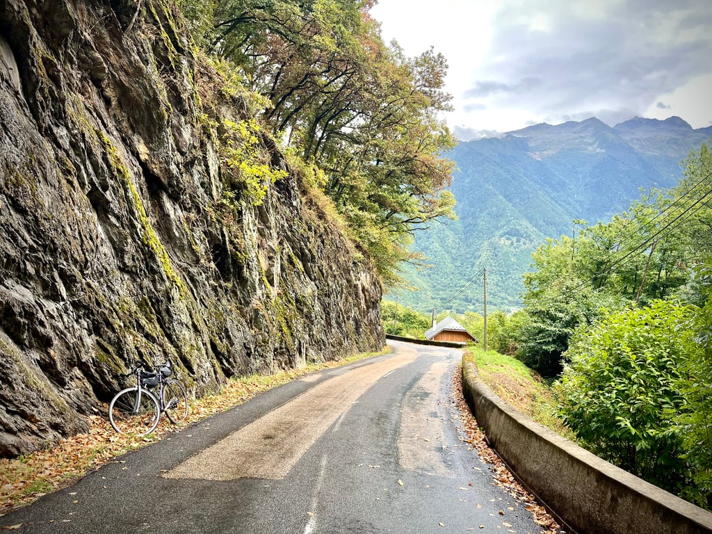
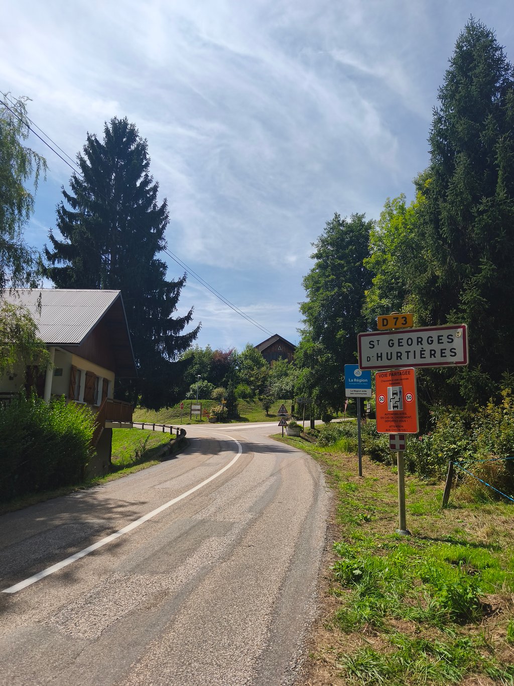
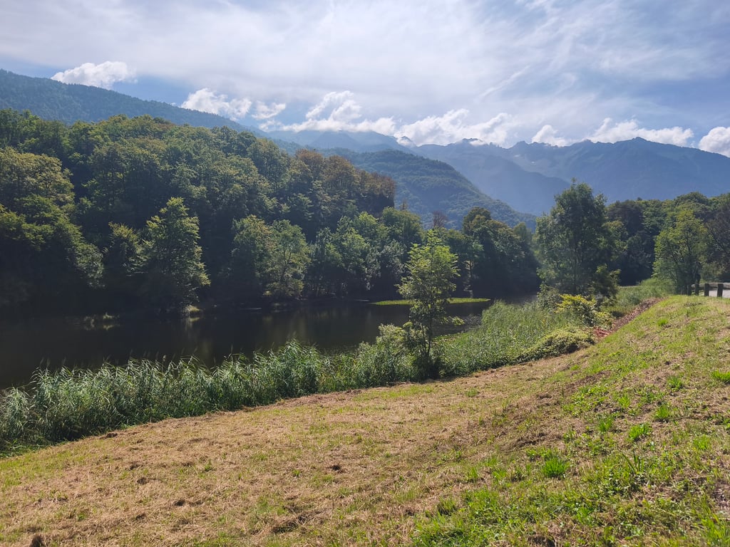
Côte de Saint-Georges-d'Hurtières from Aiguebelle is a climb in the region La Maurienne. It is 3 mi long and bridges 945 ft of vertical ascent with an average gradient of 5.9%, resulting in a difficulty score of 186. The top of the ascent is located at 1998 ft above sea level. Climbfinder users shared 3 reviews of this climb and uploaded 9 photos.
Road names: Rue du Mont-Cenis, Route des Combes, Route d’Aiguebelle & Route du Fer
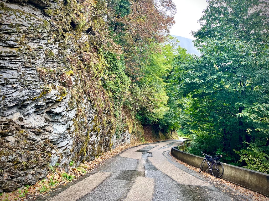
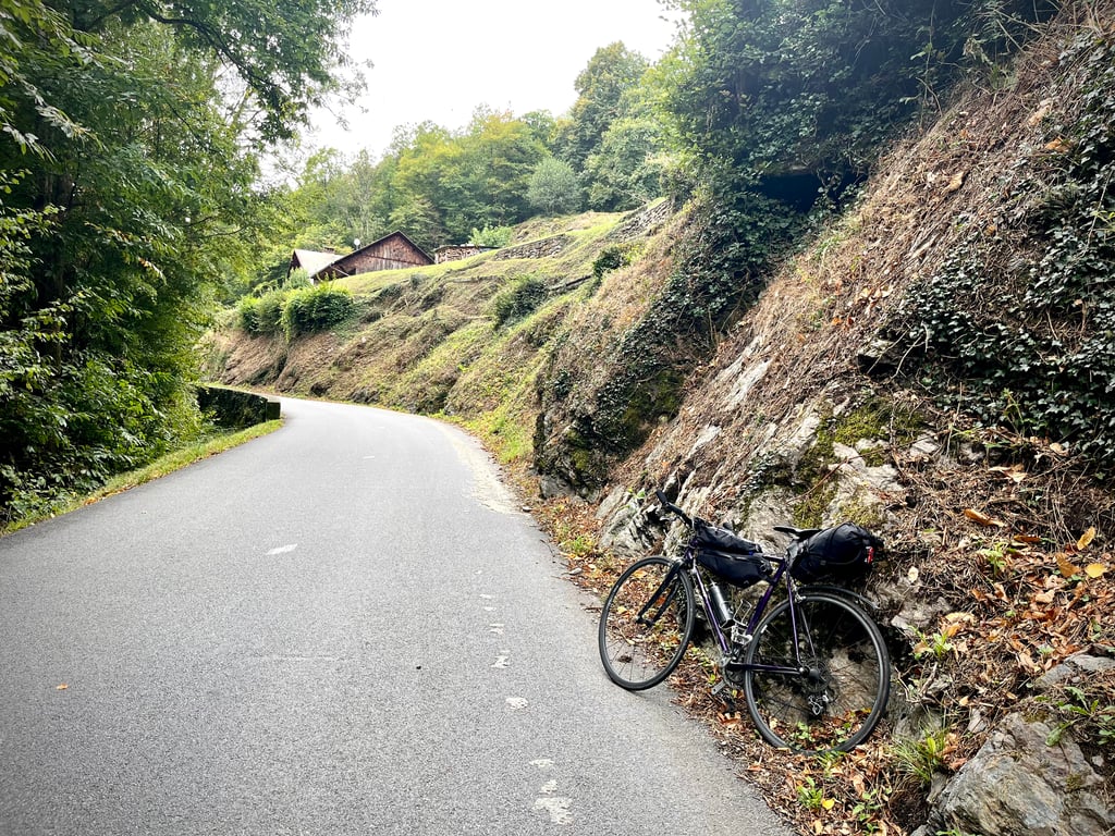
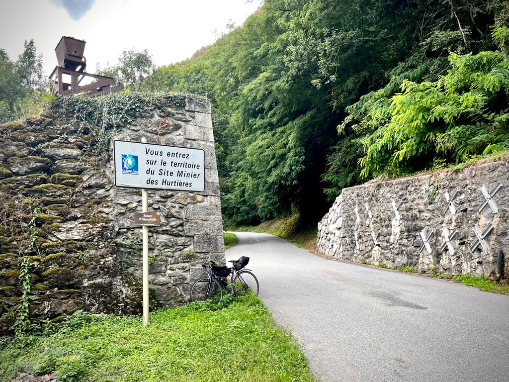
2.0 by CromagnonThis is an automatic translation, the original language is: French.I had trouble locating the streets indicated by Climbfinder. It's easier to look for the D73. A cute little road lined with beautiful rock faces for the first few kilometres. A short, easy climb. The gradients never hurt. There's not much spectacular on the way. The road is sometimes brand new, sometimes a little less so... It's quiet and leads to the Hurtières mining site.... read more

Welcome! Please activate your account if you would like to share something. Look for the verification email in your inbox.
If you want to upload your photos, you need to create an account. It only takes 1 minute and it's completely free.
I had trouble locating the streets indicated by Climbfinder. It's easier to look for the D73.
A cute little road lined with beautiful rock faces for the first few kilometres. A short, easy climb. The gradients never hurt. There's not much spectacular on the way. The road is sometimes brand new, sometimes a little less so...
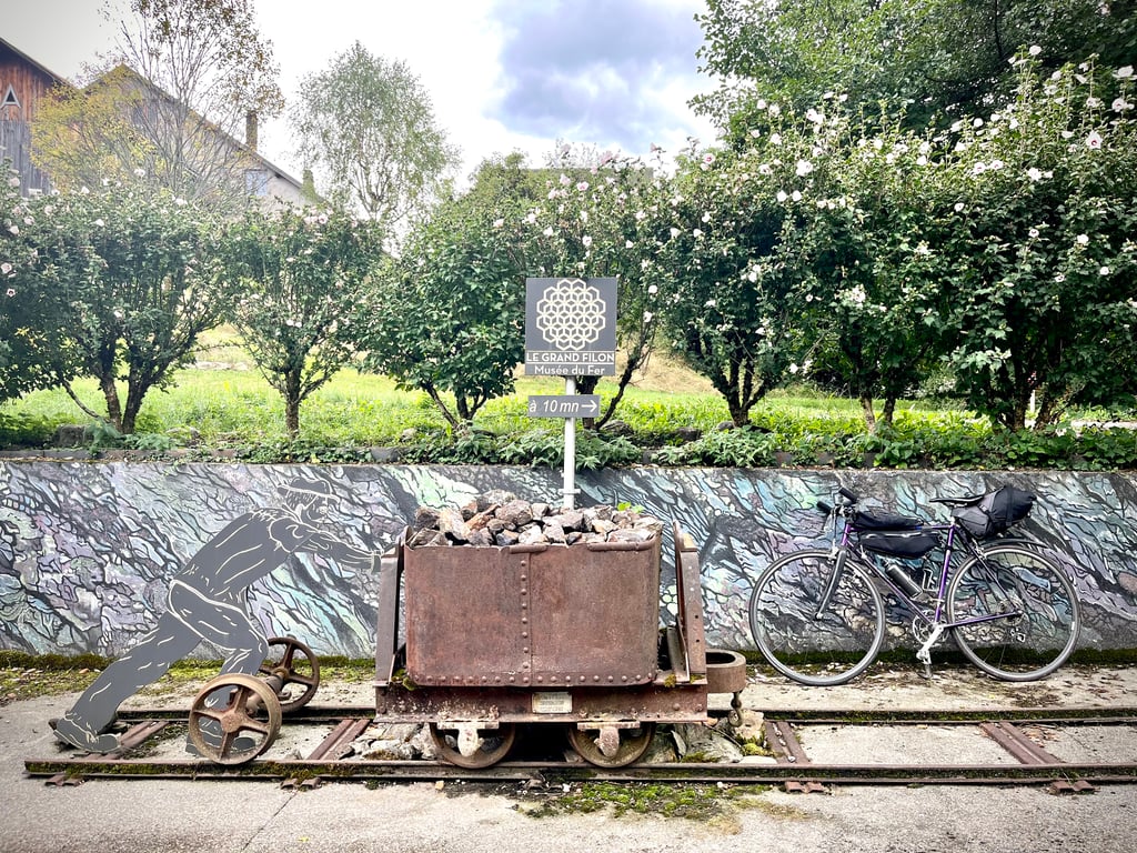
It's quiet and leads to the Hurtières mining site.
J’ai eu du mal à localiser les rues indiquées par Climbfinder. C’est plus facile de chercher la D73.
Une mignonne petite route bordée de belles parois rocheuses sur les premiers kilomètres. Une ascension courte et facile. Les pourcentages ne font jamais mal. Pas grand chose de spectaculaire sur le chemin. La route est parfois toute neuve, parfois un peu moins…
C’est calme et ça conduit au site minier des Hurtières.
A good climb to avoid the busy roads in the valley. On the other hand, it's nothing exceptional either: a slightly steep base, regular gradients with a flat area on the way to the summit.
Une bonne ascension pour éviter les routes trop encombrées dans la vallée. En revanche, rien d'exceptionnel non plus : un pied un peu pentu, des pourcentages réguliers avec un replat en arrivant vers le sommet.
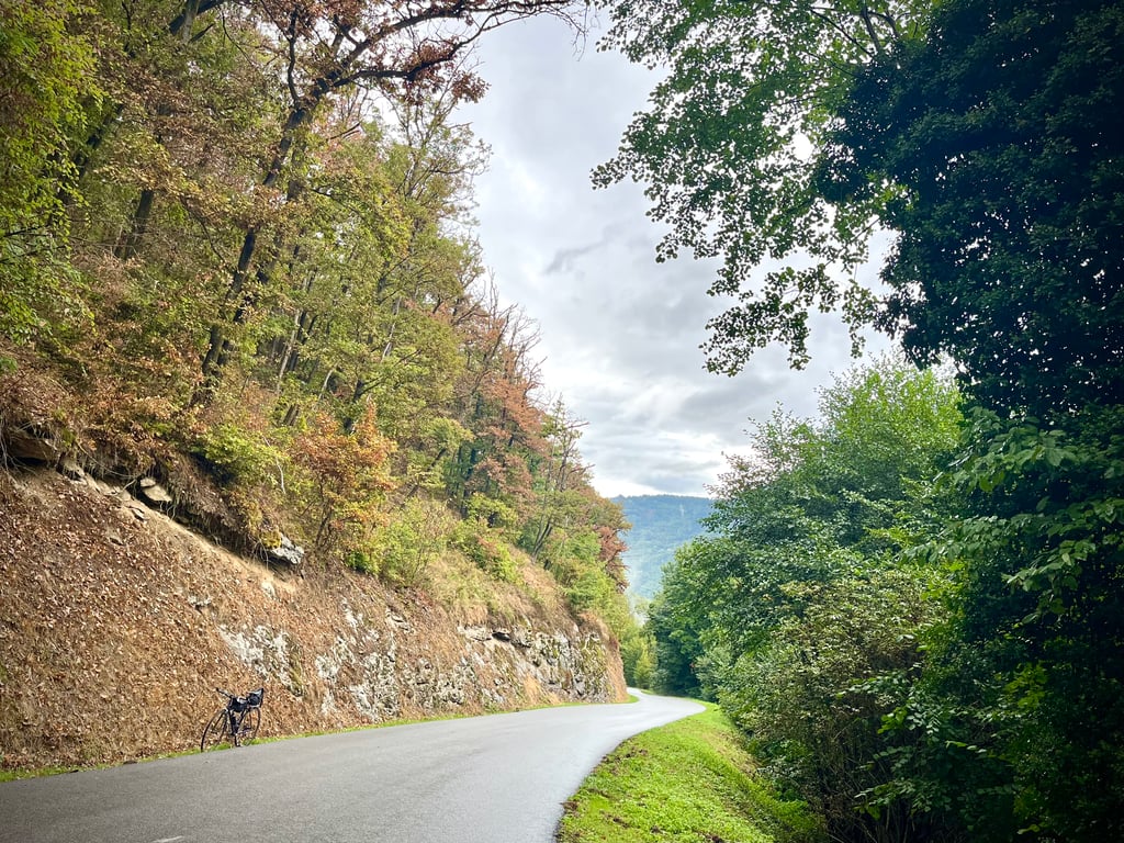
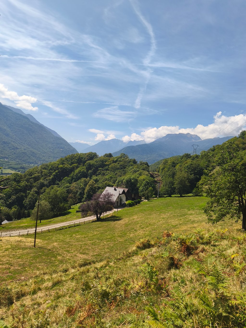
A climb with a regular first part that is steeper than the second part. Most of the ascent is in the shade, on a fairly good, fairly quiet road. There are occasional views over the Maurienne valley and the Lauzière and Grand Arc ranges. The Col du Grand Cucheron can be followed by a climb up to the Hurtières mining museum, or back down into the valley.
Côte avec une première partie régulière et plus pentue que la seconde partie. La majorité de la montée est à l'ombre, sur une route de qualité plutôt correcte et assez calme. La vue se dégage parfois sur la vallée de la Maurienne et sur la chaîne de la Lauzière et du Grand Arc. Possibilité d'enchaîner avec le Col du Grand Cucheron, la montée au musée du site minier des Hurtières, ou de redescendre dans la vallée.
| 5 mph | 00:36:45 |
| 7 mph | 00:26:01 |
| 9 mph | 00:20:16 |
| 12 mph | 00:15:13 |
This page is better in the app