Côte de Puy-Saint-Martin is a climb in the region Drôme. It is 2 mi long and bridges 525 ft of vertical ascent with an average gradient of 4.9%, resulting in a difficulty score of 81. The top of the ascent is located at 1237 ft above sea level. Climbfinder users shared 1 review/story of this climb and uploaded 4 photos.
This is an automatic translation, the original language is: French.
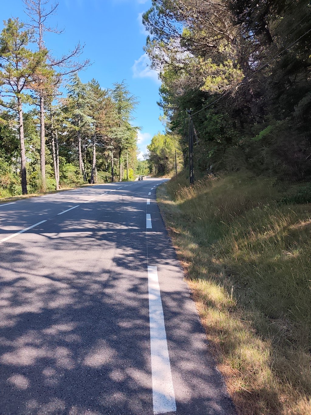
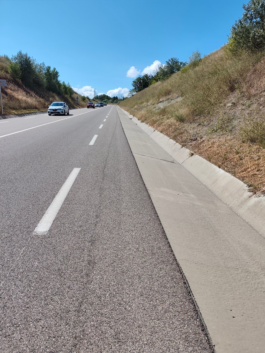
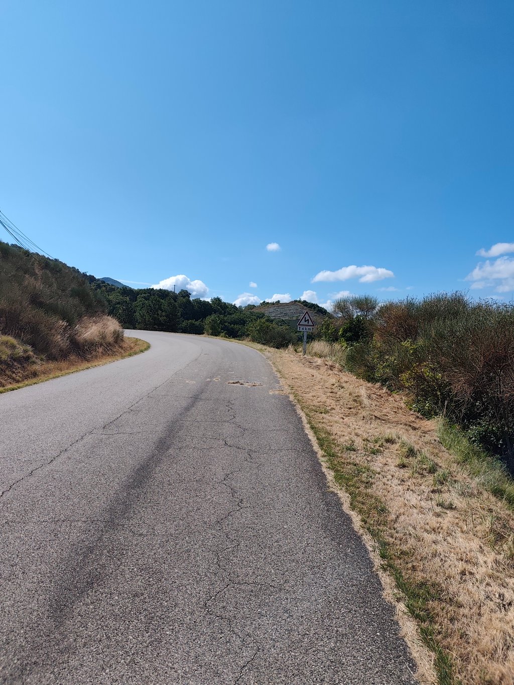
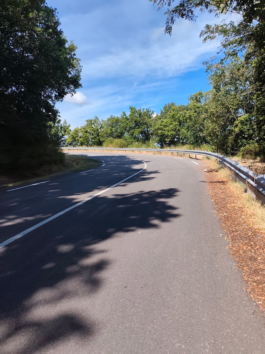
A very pretty little climb, starting from Puy St Martin. We gain height gently, on a steady gradient of around 4.5%. As the climb progresses, you alternate between open stretches offering beautiful views of the surrounding hills, and wooded stretches where you can smell the pine. The climb is not particularly difficult, the tarmac is in perfect condition and the only downside is the heavy traffic. In short, it's not to be missed when you visit the region! A very pretty little climb, start...read more
Photos (4)
Welcome! Please activate your account if you would like to share something. Look for the verification email in your inbox.
This is an automatic translation, the original language is: French.
Show original
A very pretty little climb, starting from Puy St Martin. We gain height gently, on a steady gradient of around 4.5%. As the climb progresses, you alternate between open stretches offering beautiful views of the surrounding hills, and wooded stretches where you can smell the pine. The climb is not particularly difficult, the tarmac is in perfect condition and the only downside is the heavy traffic. In short, it's not to be missed when you visit the region! A very pretty little climb, starting from Puy St Martin. You gain height gently, on a steady slope of around 4.5%. As the climb progresses, you alternate between open stretches offering beautiful views of the surrounding hills, and wooded stretches where you can smell the pine. The climb is not particularly difficult, the tarmac is in perfect condition and the only downside is the heavy traffic. In short, it's not to be missed when you visit the region!
Très jolie petite montée, qui s'élance depuis Puy St Martin. On prend de l'altitude doucement, par une pente reguliere qui avoisine les 4.5%. Au fil de la montée, on alterné entre les passage à découvert qui offrent de belle vues sur les collines environnantes, et les passage boisés ou regne une bonne odeur de pin. L'ascension ne présente pas de difficulté particulière, le bitume est en parfait état et le seul bémol est la circulation qui est assez importante. En bref c'est à ne pas manquer lors de votre passage dans la région ! Très jolie petite montée, qui s'élance depuis Puy St Martin. On prend de l'altitude doucement, par une pente reguliere qui avoisine les 4.5%. Au fil de la montée, on alterné entre les passage à découvert qui offrent de belle vues sur les collines environnantes, et les passage boisés ou regne une bonne odeur de pin. L'ascension ne présente pas de difficulté particulière, le bitume est en parfait état et le seul bémol est la circulation qui est assez importante. En bref c'est à ne pas manquer lors de votre passage dans la région !
Share your knowledge. What was the road condition during your ascent?
Traffic
0% 0% 0%
Based on 0 votes
Your experience counts. How much traffic did you encounter during the climb?
Frequently Asked Questions
You don't need special gearing for Côte de Puy-Saint-Martin. The slope isn't long or steep enough to require much shifting down. You can conquer this climb on power alone. However, a compact gearing system with a smallest front chainring of 34 and largest rear sprocket of 28 or 30 is always nice if you enjoy cycling uphill. This helps maintain a smooth cadence.
Côte de Puy-Saint-Martin is a 4th-category climb. A sprint to the top is usually not an option, and untrained riders will definitely feel it in their legs. For trained cyclists, it is a great training climb.
Côte de Puy-Saint-Martin is 2 mi long.
The average gradient of Côte de Puy-Saint-Martin is 4.9%.
Côte de Puy-Saint-Martin has a steepest segment with an average gradient of 7.5%.
The summit of Côte de Puy-Saint-Martin is at 1237 ft.
At a slow pace of 5 mph, it takes about 00:24:21 to climb Côte de Puy-Saint-Martin. At 7 mph the time is 00:17:14, and at 9 mph 00:13:26. For the fastest cyclists, 00:10:05 is an achievable time.
Côte de Puy-Saint-Martin is located in the region Drôme in France.