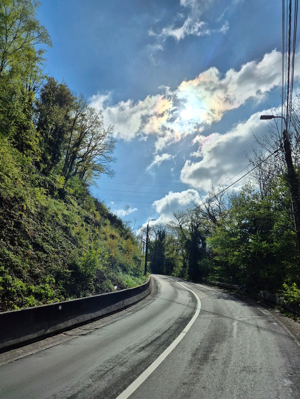
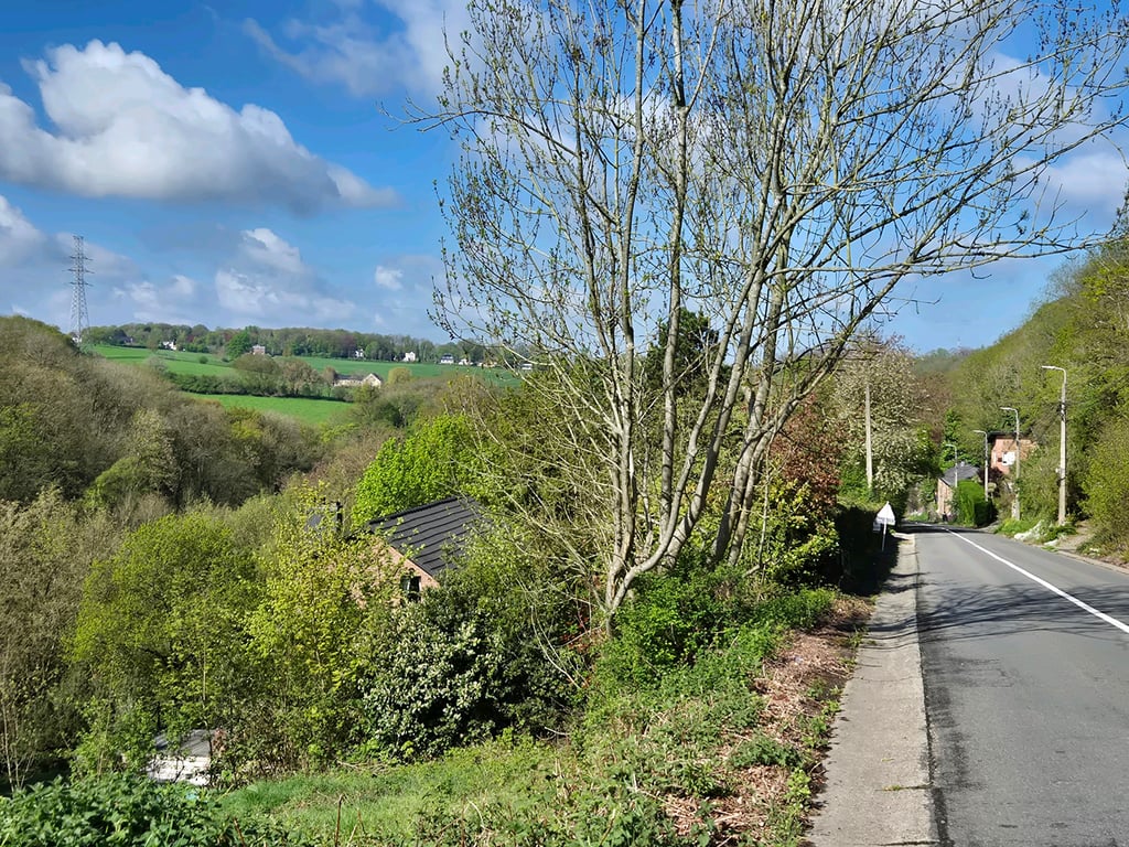
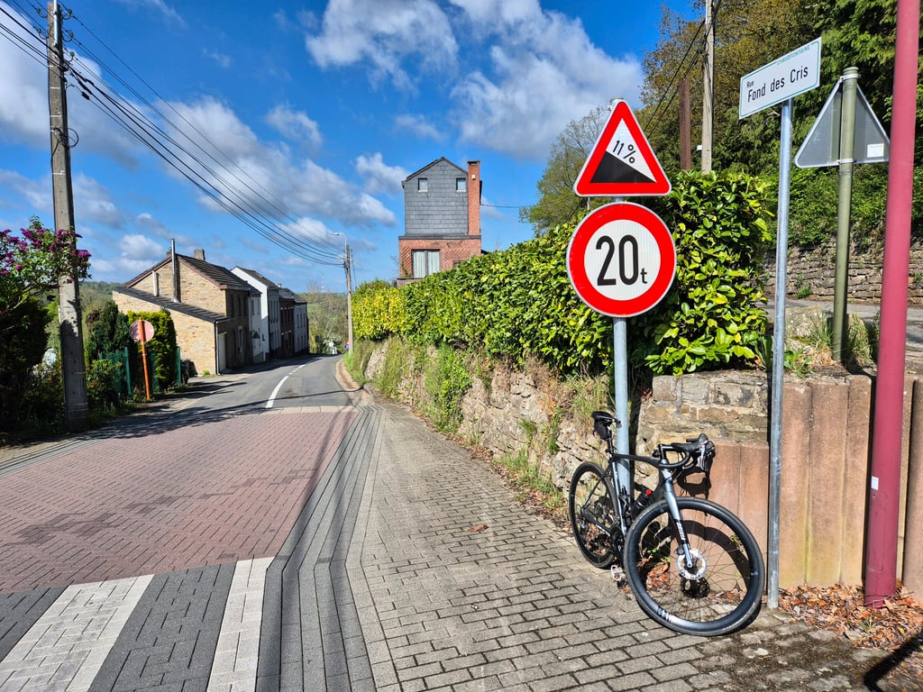
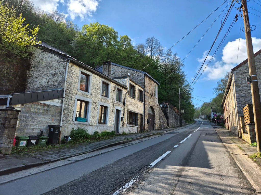
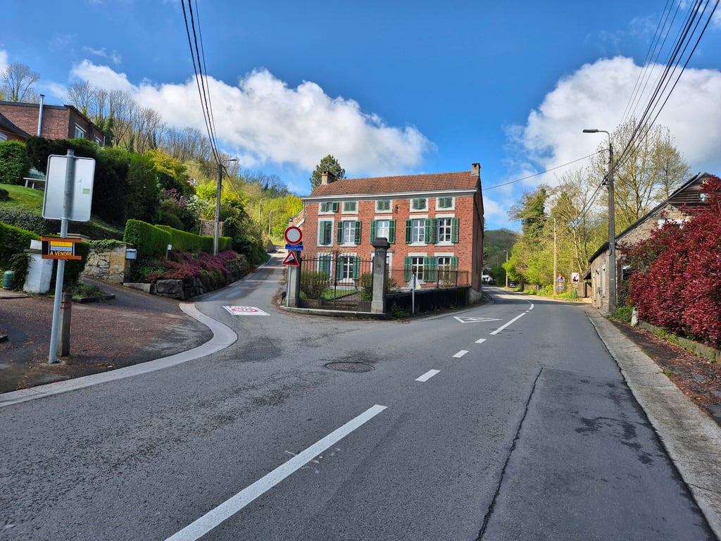
Côte de Ninane / Fond des Cris is a climb in the region Valleys of the Vesdre, de l'Amblève et de l'Ourthe. It is 2.6 mi long and bridges 686 ft of vertical ascent with an average gradient of 5.1%, resulting in a difficulty score of 140. The top of the ascent is located at 902 ft above sea level. Climbfinder users shared 2 reviews of this climb and uploaded 6 photos.
Road names: Rue Fond des Cris & Route de Beaufays
4.0 by ConradThis is an automatic translation, the original language is: Dutch.From Chaudfontaine you can go several ways with a longer climb. This is often used in tours and is also known as Fond de Cris (that is the name of the road) You turn on the road and goes slightly up. After 200 meters or so you can turn left on the Voie de Chars but the sign with 18% scares most riders and you go straight ahead. The steepest part is in front of you and with a good pace you can pass this part easily. After the left turn you head for Ninane, those who were tough enough to turn le... read more
Welcome! Please activate your account if you would like to share something. Look for the verification email in your inbox.
If you want to upload your photos, you need to create an account. It only takes 1 minute and it's completely free.
From Chaudfontaine you can go several ways with a longer climb. This is often used in tours and is also known as Fond de Cris (that is the name of the road) You turn on the road and goes slightly up. After 200 meters or so you can turn left on the Voie de Chars but the sign with 18% scares most riders and you go straight ahead. The steepest part is in front of you and with a good pace you can pass this part easily. After the left turn you head for Ninane, those who were tough enough to turn left come from the left with their tongue on their chest back on the main road.
If you go past the church you see after 50 meters on the left a bakery; ho stop and walk in for a mini rice cake. Delicious and nutritious because there's still enough altitude meters to go before you get back to Valkenburg.
Vanuit Chaudfontaine kun je diverse kanten op met een langere beklimming. Deze wordt vaak gebruikt in toertochten en komt ok voor als Fond de Cris ( zo heet de weg) Je draait de weg op en gaat licht omhoog. Na 200 meter of zo kun je links af de Voie de Chars op maar het bord met 18% schrikt de meeste rijders af en je gaat lekker rechtdoor. Het steilste stuk ligt nu voor je en met een lekkere tred kun je dit tuk goed doorkomen. Na de bocht naar links ga je richting Ninane, diegenen die stoer genoeg waren links af te gaan komen van links met hun tong op de borst weer op de doorgaande weg.
Als je voorbij de kerk gaat zie je na 50 meter aan de linkerzijde een bakker; ho stop in de ankers en loop binnen voor een mini rijstetaartje. Heerlijk en voedzaam want er komen nog genoeg hoogtemeters voordat je weer terug bent in bijvoorbeeld Valkenburg.
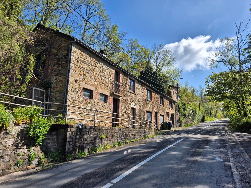
If you have just left from Liege and this is the first climb, the first meters are immediately a wake up call, add the length and you are immediately on temperature. Not super heavy but long.
Als je net bent vertrokken uit luik en dit is de eerste klim zijn de eerste meters meteen een wake up call, tel daarbij de lengte en je bent meteen op temperatuur. Niet superzwaar wel lang.
| 5 mph | 00:31:00 |
| 7 mph | 00:21:57 |
| 9 mph | 00:17:06 |
| 12 mph | 00:12:51 |
This page is better in the app