Tips nearby


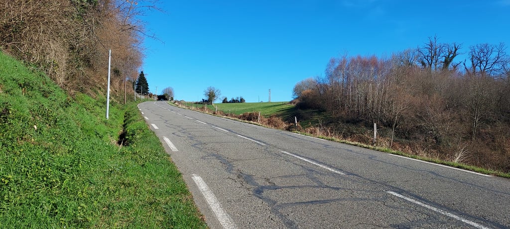
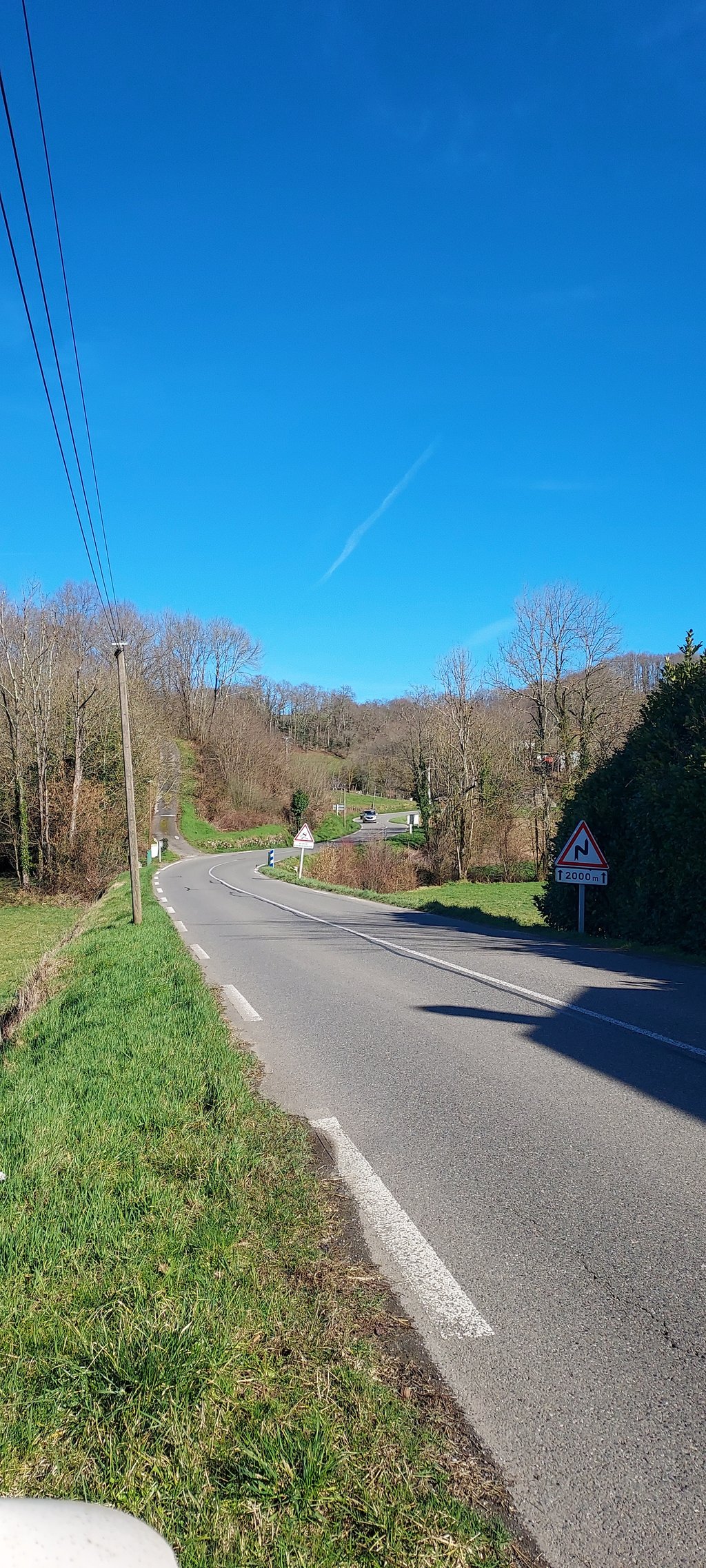
Côte de Loucrup is a climb in the region Hautes-Pyrénées. It is 2.1 mi long and bridges 594 ft of vertical ascent with an average gradient of 5.4%, resulting in a difficulty score of 131. The top of the ascent is located at 1778 ft above sea level. Climbfinder users shared 3 reviews of this climb and uploaded 4 photos.
Road names: Rue du Pic du Midi & Route des Pyrénées
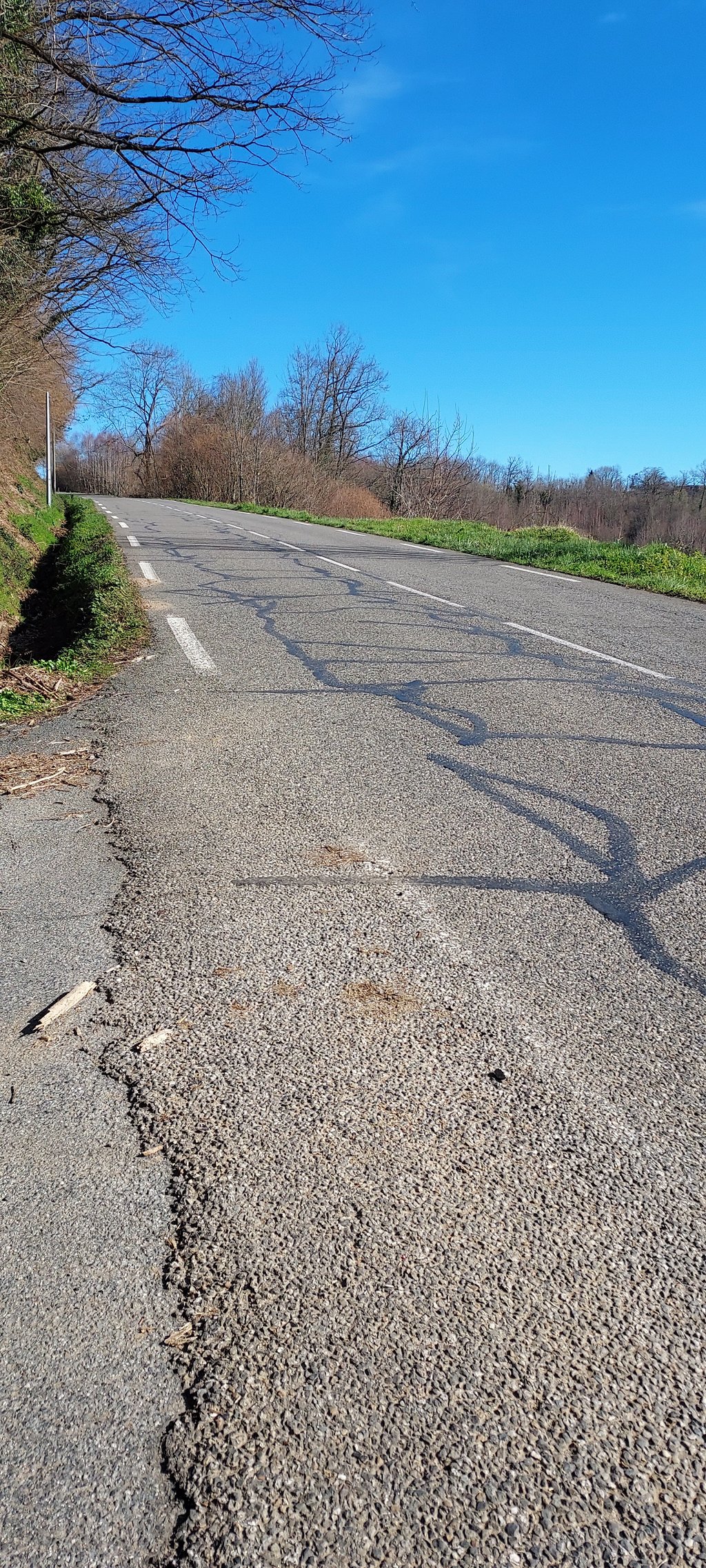
2.0 by LouycraThis is an automatic translation, the original language is: French.No particular interest in this little hill, I've ridden it during the GFNY Lourdes Tourmalet. The asphalt is in good condition, but it doesn't offer any spectacular scenery or unusual difficulty.... read more
Welcome! Please activate your account if you would like to share something. Look for the verification email in your inbox.
If you want to upload your photos, you need to create an account. It only takes 1 minute and it's completely free.
No particular interest in this little hill, I've ridden it during the GFNY Lourdes Tourmalet. The asphalt is in good condition, but it doesn't offer any spectacular scenery or unusual difficulty.
Pas d'intérêt particulier a cette petite cote, je l'ai parcourue lors du GFNY Lourdes Tourmalet. Le bitume est en bon état, mais elle n'offre si paysage spectaculaire, ni difficulté hors du commun.
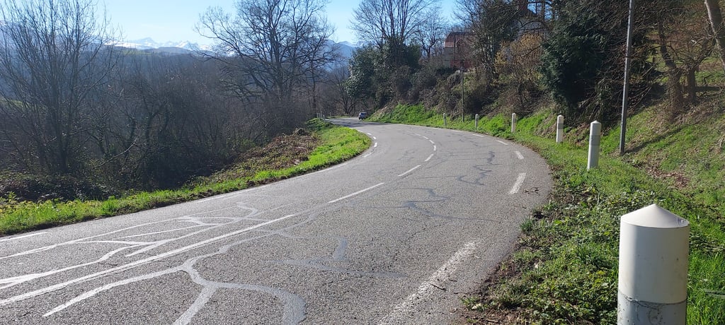
Turn right onto the D407 to Orincle and off you go for a short but challenging climb, much used in the Tour de France from Pau and Lourdes to the Haute Bigorre and Vallée d'Aure. Very busy. Lovely views towards the Pyrenees.
On laisse la D407 vers Orincle à droite et c'est parti pour une montée courte mais stimulante, très utilisé dans le tour de france depuis Pau et Lourdes vers la Haute Bigorre et vallée d'Aure. Très passante. Jolie vue vers la chaîne des Pyrénées.
One of two alternatives - actually, you can spend a whole day climbing and descending between these small villages in the area - to go from Bagnères-de-Bigorre to Lourdes (and beyond, to Argèles-Gazost for example). A bit more travel, but still a nice route, also in the opposite direction. There's another not listed short climb after this one.
| 5 mph | 00:25:11 |
| 7 mph | 00:17:49 |
| 9 mph | 00:13:53 |
| 12 mph | 00:10:26 |
This page is better in the app