Tips nearby


| 4 hairpin turns |
| #100 most elevation gain of Upper Rhine |
| #85 longest climb of Upper Rhine |
Col du Sattel from Mulbach-sur-Munster is a climb in the region Upper Rhine. It is 3 mi long and bridges 856 ft of vertical ascent with an average gradient of 5.3%, resulting in a difficulty score of 146. The top of the ascent is located at 2421 ft above sea level. Climbfinder users shared 2 reviews of this climb and uploaded 2 photos.
Road names: Place de l'Église, Route du Gaschney, Route du Gaschney & Chemin du Sattel
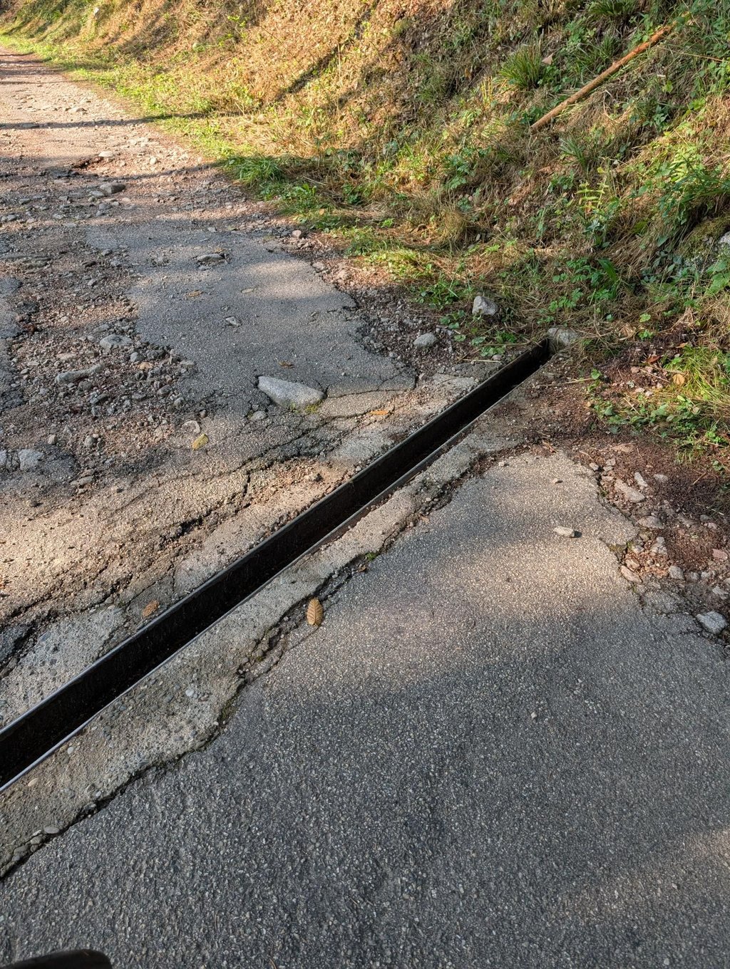
1.0 by Joeri LaureysThis is an automatic translation, the original language is: Dutch.Less bad than the other side. But why ride up it on a road bike anyway. It's not that pretty and along the other side you can't ride down it with your racing tyres anyway.... read more
Welcome! Please activate your account if you would like to share something. Look for the verification email in your inbox.
If you want to upload your photos, you need to create an account. It only takes 1 minute and it's completely free.
Less bad than the other side. But why ride up it on a road bike anyway. It's not that pretty and along the other side you can't ride down it with your racing tyres anyway.
Minder slecht dan de andere kant. Maar waarom zou je dit eigenlijk oprijden met de racefiets. Zo mooi is ie niet en langs de andere kant kan je met je racebandjes toch niet naar beneden rijden.
| 5 mph | 00:36:38 |
| 7 mph | 00:25:56 |
| 9 mph | 00:20:13 |
| 12 mph | 00:15:11 |
This page is better in the app