Tips nearby


| 4 hairpin turns |
| Bad road |
| #45 toughest climb of Hautes-Pyrénées |
| #50 most elevation gain of Hautes-Pyrénées |
| #48 longest climb of Hautes-Pyrénées |
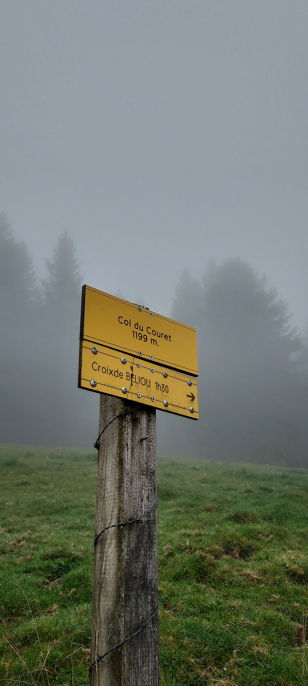
Col du Couret from Baudéan is a climb in the region Hautes-Pyrénées. It is 5.1 mi long and bridges 1906 ft of vertical ascent with an average gradient of 7%, resulting in a difficulty score of 557. The top of the ascent is located at 3937 ft above sea level. Climbfinder users shared 1 review/story of this climb and uploaded 4 photos.
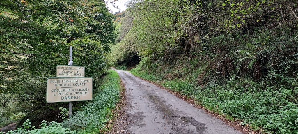
Road name: D29
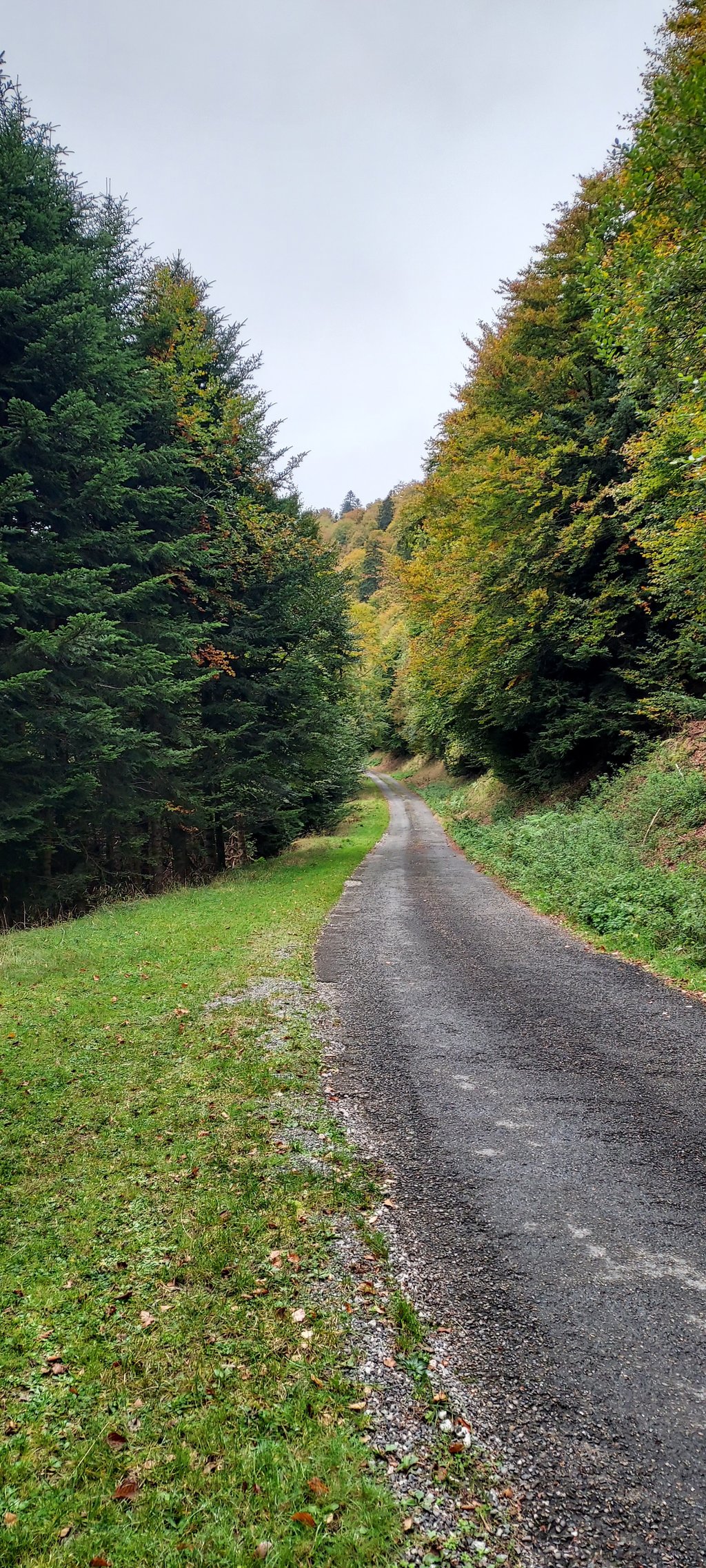
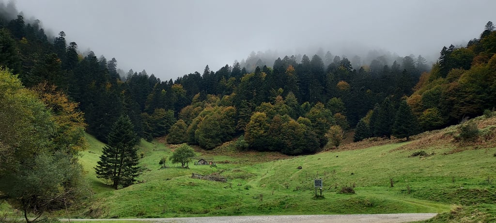
1.0 by HiFolkThis is an automatic translation, the original language is: French.Take the D29 at Baudéan, heading for "Chiroulet " then at la Violette turn right "chemin de la glaire". The road rises steeply for 5km. The road is in good condition as you pass through the hamlet, but deteriorates as soon as you enter the Couret forest road. Water drainage gullies, holes, bumps, gullies, sometimes without tarmac ... You have to slalom and you can't speed downhill. At the top you can continue towards Bagnères-de-Bigorre or Labassère-Soulagnets.... read more
Welcome! Please activate your account if you would like to share something. Look for the verification email in your inbox.
If you want to upload your photos, you need to create an account. It only takes 1 minute and it's completely free.
Take the D29 at Baudéan, heading for "Chiroulet " then at la Violette turn right "chemin de la glaire". The road rises steeply for 5km. The road is in good condition as you pass through the hamlet, but deteriorates as soon as you enter the Couret forest road. Water drainage gullies, holes, bumps, gullies, sometimes without tarmac ... You have to slalom and you can't speed downhill. At the top you can continue towards Bagnères-de-Bigorre or Labassère-Soulagnets.
Prendre la D29 à Baudéan, direction "Chiroulet " puis au lieu-dit la Violette prendre à droite "chemin de la glaire". La route s'élève fortement pendant 5km . Celle-ci est en bon état pendant la traversée du hameau , mais dès que l'on entre sur la route forestière du Couret elle se degrade . Rigoles d'évacuation d'eau, trous , bosses , ravines,parfois sans goudron ... Il faut slalomer et on ne peut pas prendre de vitesse en descente. Délicat en VTC ( pneu en 28 ).Au sommet possibilité de continuer vers Bagnères-de-Bigorre ou Labassère- Soulagnets.
| 5 mph | 01:01:55 |
| 7 mph | 00:43:50 |
| 9 mph | 00:34:10 |
| 12 mph | 00:25:40 |
This page is better in the app