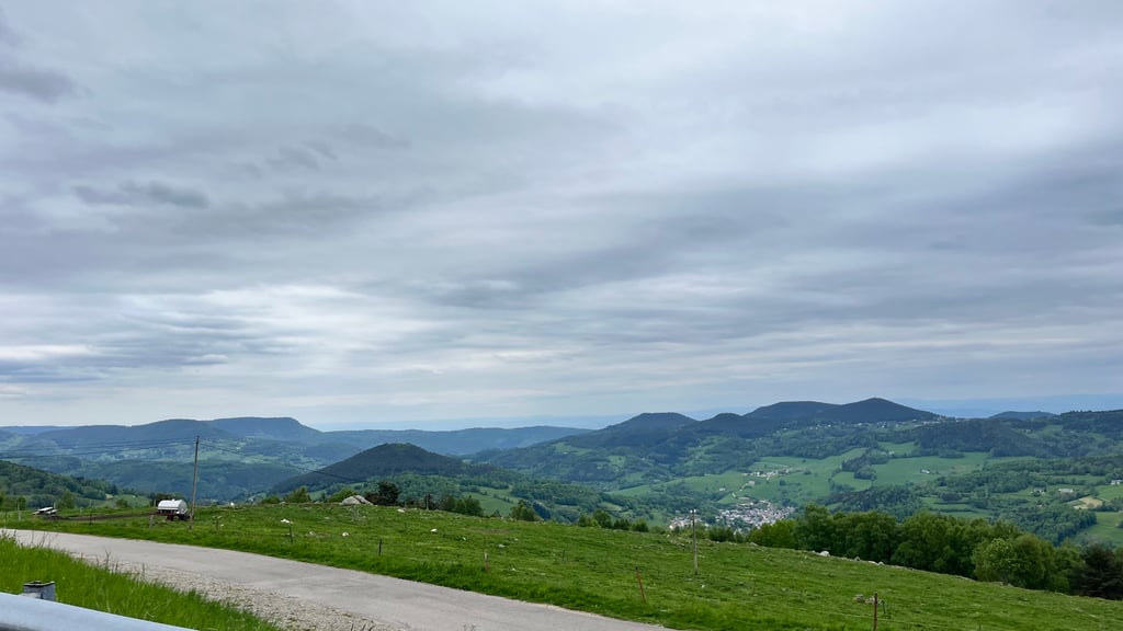
| Beautiful scenery |
| 2 hairpin turns |
| #30 toughest climb of Grand Est |
| #29 most elevation gain of Grand Est |
| #60 longest climb of Grand Est |
| #87 average steepest climb of Upper Rhine |
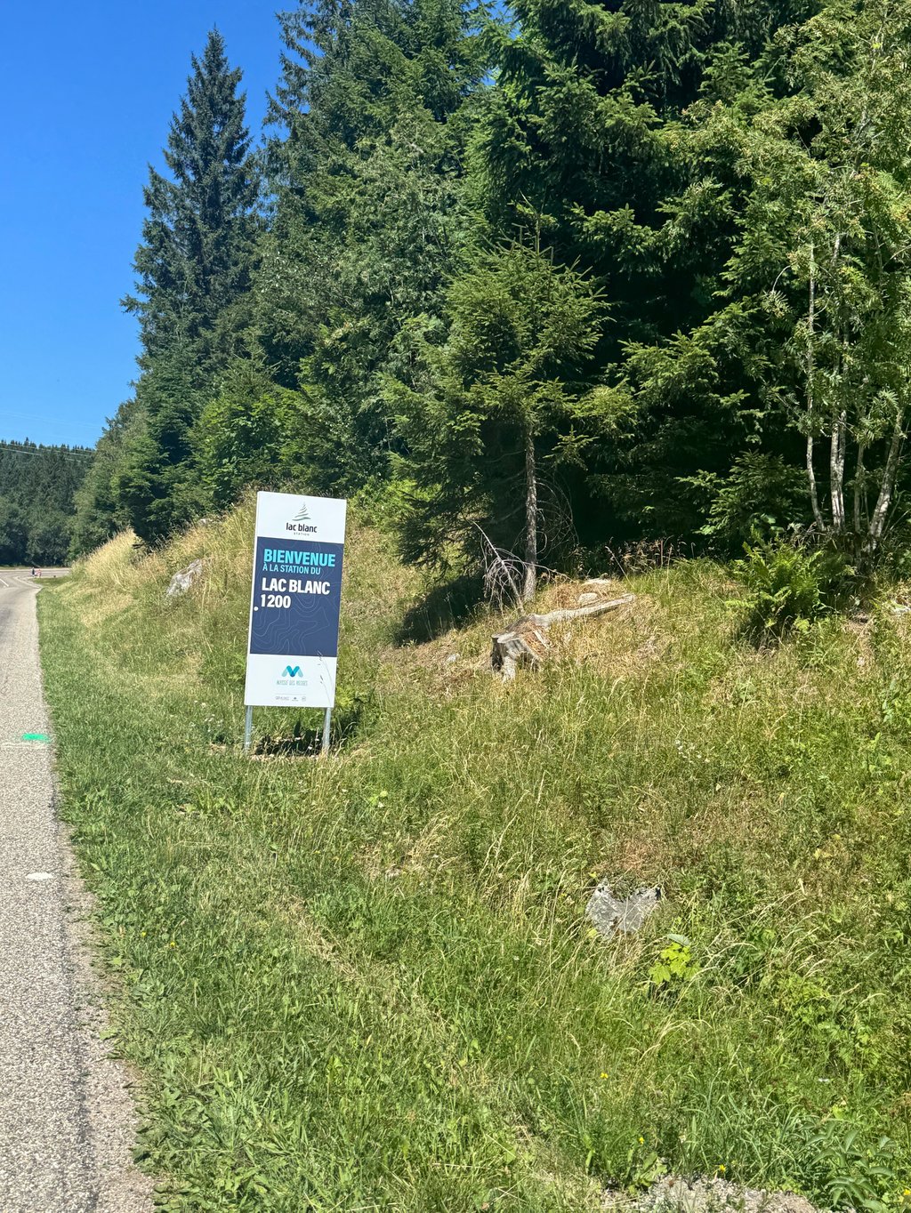
Col du Calvaire from Orbey is a climb in the region Upper Rhine. It is 6.9 mi long and bridges 2205 ft of vertical ascent with an average gradient of 6.1%, resulting in a difficulty score of 462. The top of the ascent is located at 3757 ft above sea level. Climbfinder users shared 8 reviews of this climb and uploaded 12 photos.
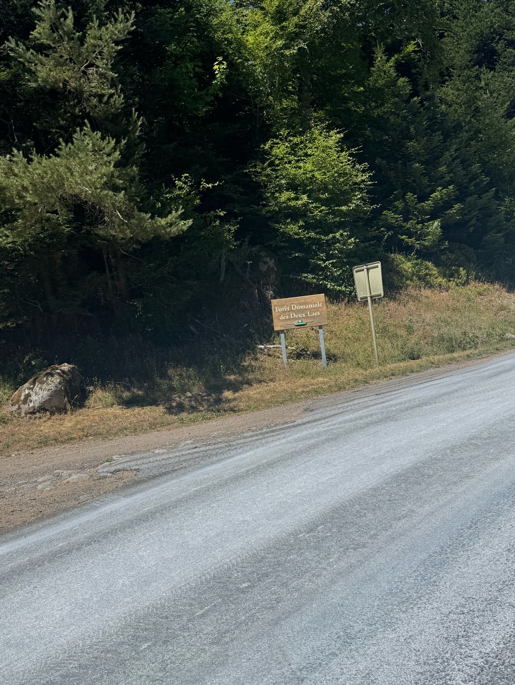
Road name: D48.2
3.0 by XamrasThis is an automatic translation, the original language is: French.There is a lot of traffic in Orbey but it calms down as you leave the town. It gets steeper in the small village of Pairis.... read more
Welcome! Please activate your account if you would like to share something. Look for the verification email in your inbox.
If you want to upload your photos, you need to create an account. It only takes 1 minute and it's completely free.
Pretty uneventful climb, the too bits offer reasonably nice views but first half is rather boring.
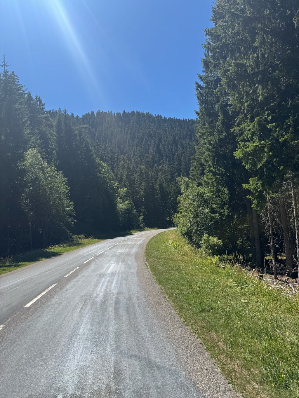
The road is in good condition and fairly busy with cars and motorbikes.
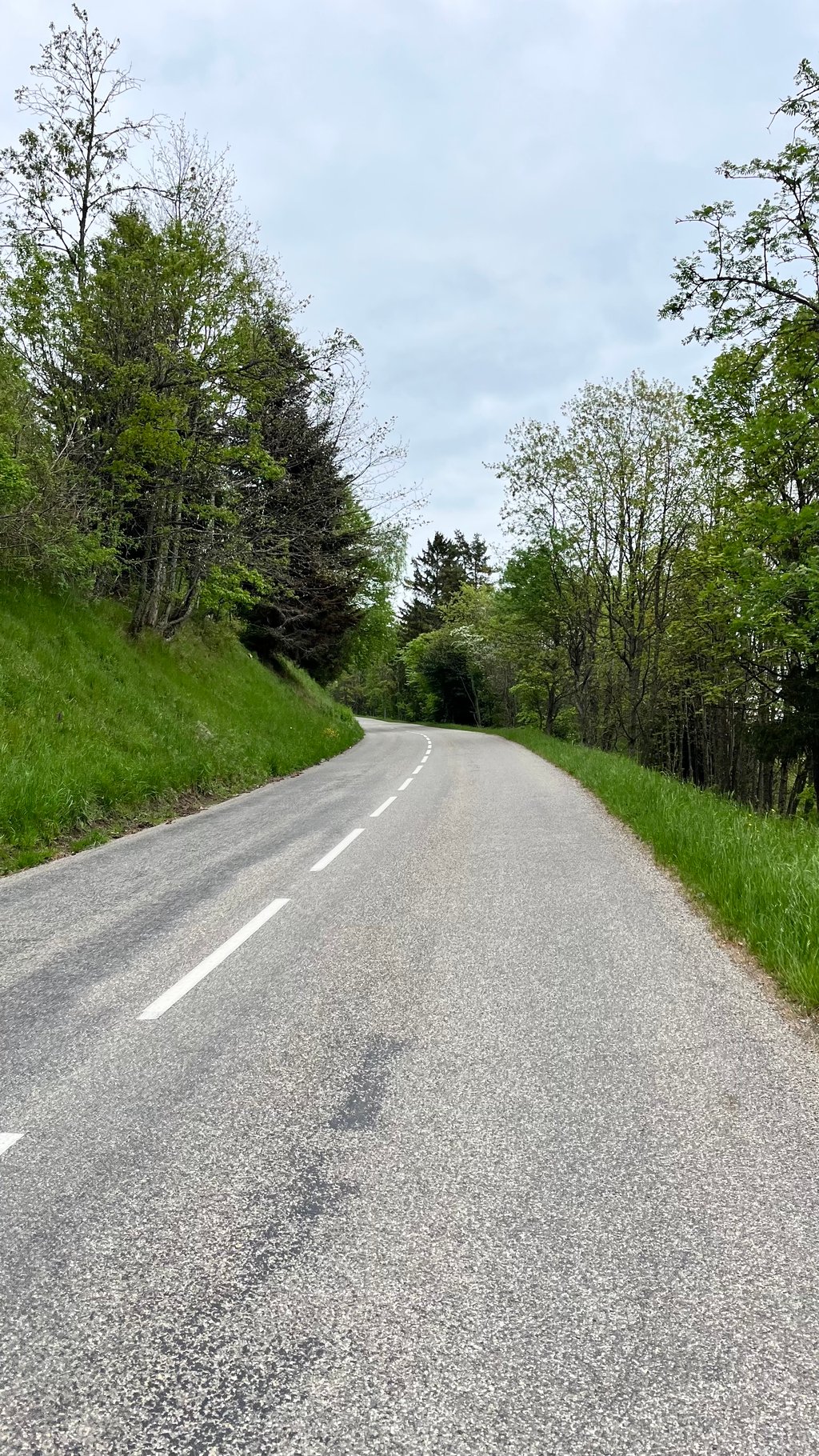
The gradient is moderate, except when leaving Orbey and towards Pairis.
In summer, you are exposed to the sun and it can get very hot.
La route est en bon état et assez fréquentée par les voitures et les motos.
La pente est modérée, sauf à la sortie d'Orbey et vers Pairis.
En été, vous êtes exposé au soleil et il peut faire très chaud.
Only the last five kilometres are worthwhile, so if you can do those fat fine. The first part is indeed a bit crowded and there is not much in the way of scenery. Despite secretly going up quite a bit.
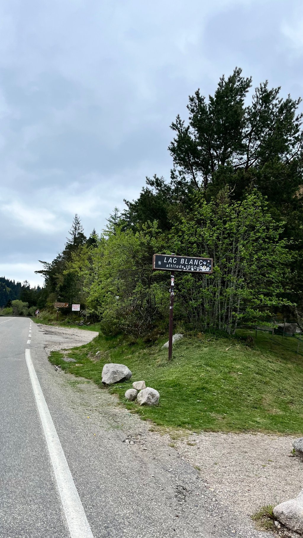
Fortunately, that lessens and you meander uphill with some big turns, towards the lake. Here it is busy but definitely worth a stop. Then bang on to the summit.
We both climbed and descended this one, I liked the latter a lot better. Good and wide road, nice curves and high speeds.
Alleen de laatste vijf kilometer zijn de moeite waard, dus als je die kunt doen dikke prima. Het eerste deel is inderdaad wat druk en er is niet veel aan het landschap. Ondanks dat het stiekem best wat omhoog gaat.
Gelukkig wordt dat minder en slinger je met wat grote bochten omhoog, richting het meer. Hier is het druk maar zeker wel een stopje waard. Daarna door knallen tot de top.
Deze zowel geklommen als als afdaling gereden, dat tweede beviel me een stuk beter. Goede en brede weg, lekkere bochten en hoge snelheden.
Lots of cars, the beginning is not very interesting visually, but has the most difficult part. The end is nicer and more pleasant, also more rolling, until the passage by the Lac Blanc which is really nice.
Beaucoup de voitures, le début n'est pas très intéressant visuellement, mais présente le passage le plus difficile. La fin est plus jolie et agréable, plus roulante aussi, jusqu'au passage par le lac Blanc qui est vraiment joli.
There is a lot of traffic in Orbey but it calms down as you leave the town. It gets steeper in the small village of Pairis.
Pas mal de trafic dans Orbey mais ça se calme en sortant de la ville. Çà devient plus raide dans le petit village de Pairis.
I agree with the experiences of dennis1 and yordiz. Although in terms of gradients reasonably well to do and nice long, not really a beautiful col. Beautiful views towards the black forest though, just after pairis and the exit to the wettstein. But that only lasts for a short time, so don't miss them!
Ik sluit me aan bij de ervaringen van dennis1 en yordiz. Hoewel qua stijgingspercentages redelijk goed te doen en lekker lang, niet echt een mooie col. Wel fraaie uitzichten richting het zwarte woud, vlak na pairis en de afslag naar de wettstein. Maar dat duurt maar heel even, dus mis ze niet!
Quite spicy still! Wide road with through traffic. Few guide points and the gradients are mostly around 7%. It would be nicer to descend and then climb the Col du Wettstein.
Best pittig nog! Brede weg met doorgaand verkeer. Weinig richtpunten en de stijgingspercentages zijn veelal rond de 7%. Leuker om af te dalen en daarna de Col du Wettstein te beklimmen.
The Calvaire from this side starts in the busier village of Orbey. The road is quite big although the amount of traffic was not too bad. Through the village of Pairis it is quite steep for one kilometer with percentages around 10%. After the junction (where you can turn off towards the Wettstein) it gets better. You have nice views over the valley. When you pass the beautiful Lac Blanc you are almost at the top. This is mainly a large intersection with parking lots. For a nice break you better descent again to Lac Blanc.
De Calvaire vanuit deze kant start in het drukkere dorpje Orbey. Je rijd over een behoorlijk grote weg al viel de hoeveelheid verkeer nog mee. Door het dorpje Pairis is het een kilometer lang goed steil met percentages rond de 10%. Na de kruising (waar je af kunt slaan richting de Wettstein) wordt het mooier. Je hebt fijne uitzichten over het dal. Wanneer je het mooie Lac Blanc passeert ben je bijna boven. Dat is met name een grote kruising met parkeerplaatsen. Voor een prettige pauze daal je beter nog even weer af naar Lac Blanc.
| 5 mph | 01:23:08 |
| 7 mph | 00:58:51 |
| 9 mph | 00:45:52 |
| 12 mph | 00:34:27 |
This page is better in the app