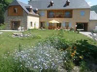
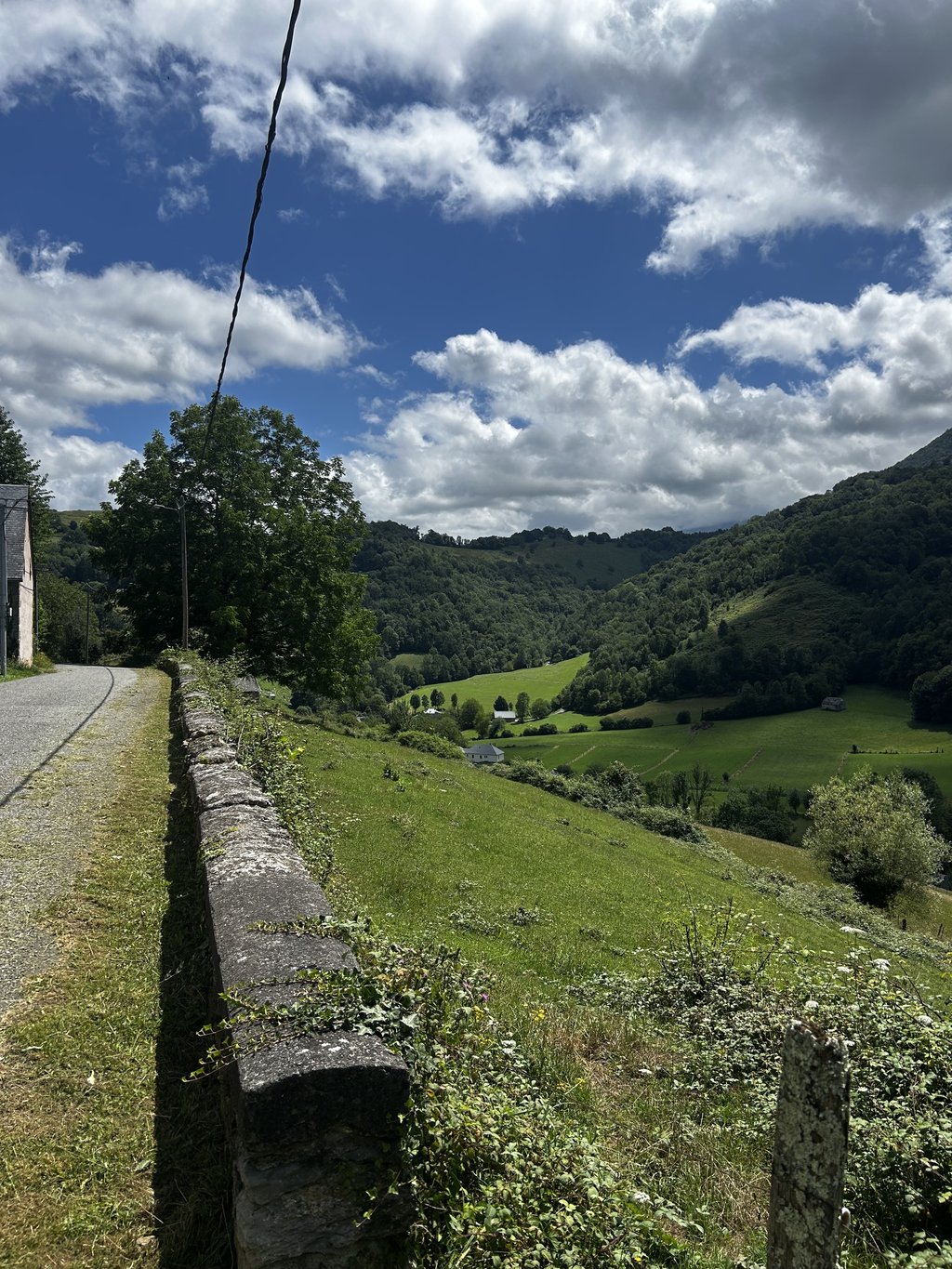
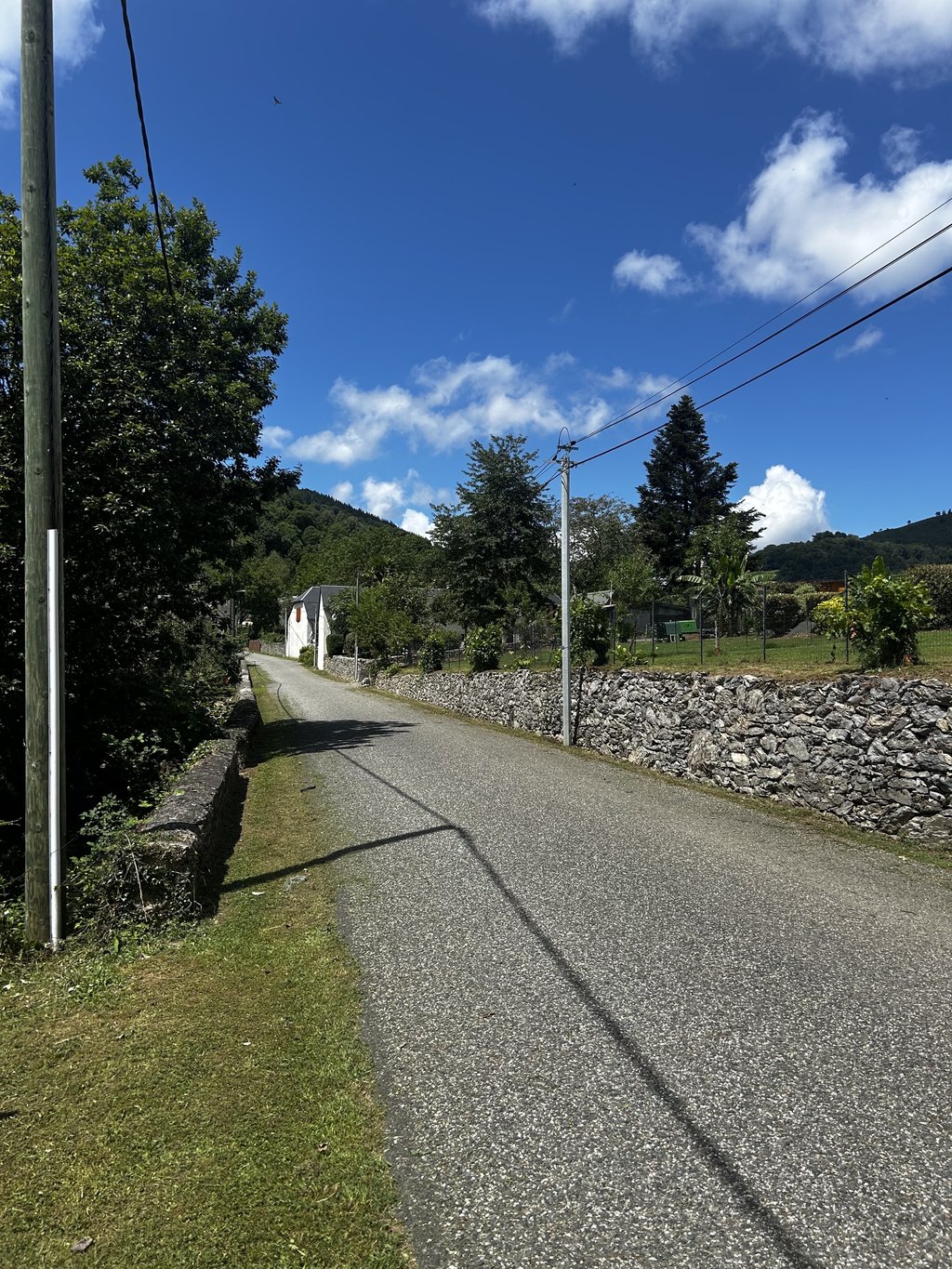
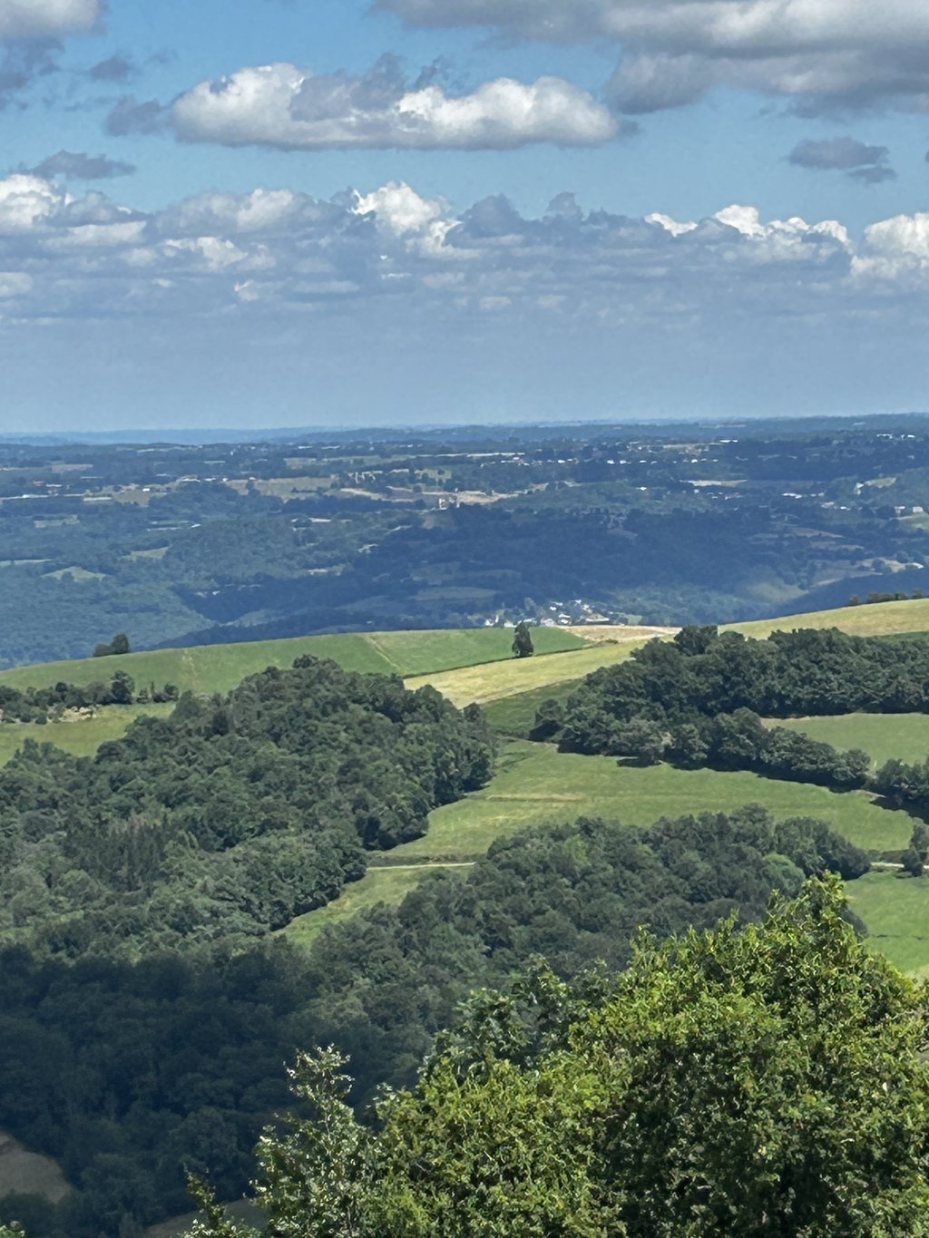
View on map
© MapLibre | OpenStreetMap contributors
1%
2%
4%
6%
8%
10%
12%
15%
20%

Col des Palomières from Banios

3.7
3 reviews | Elevation profile | 3 photos
Tips nearby
Col des Palomières from Banios
transparant thumb
transparant thumb
transparant thumb
transparant thumb
transparant thumb
Your achievable time
Calculating based on your best performances...
Relaxed
Maximum
W/kg
W/kg
W/kg
Analyze your climbing performance
Detailed insight into your climbing performance & automatically check off climbs
Based on your best performances.
Your best attempt:
Number of attempts:
Elevation profile Col des Palomières from Banios

Statistics

Difficulty points 286
Length 3.5 mi
Average gradient 6.1%
Steepest segment 15.9%
Total ascent 1138 ft

Short recap

Beautiful scenery
3 hairpin turns
#84 toughest climb of Hautes-Pyrénées
#78 most elevation gain of Hautes-Pyrénées
#80 longest climb of Hautes-Pyrénées
Feedback about this climb?
Show climbs nearby Export to GPS device

Col des Palomières from Banios is a climb in the region Hautes-Pyrénées. It is 3.5 mi long and bridges 1138 ft of vertical ascent with an average gradient of 6.1%, resulting in a difficulty score of 286. The top of the ascent is located at 2667 ft above sea level. Climbfinder users shared 3 reviews of this climb and uploaded 3 photos.

Road name: D84

4.0 by PaulA99
This is an automatic translation, the original language is: English.
Beautiful views enroute and at the top. Much of the climb is in the shade. Very few cars. If you’re nearby it’s a climb worth considering or adding to your route with additional climbs. ... read more

Photos (3)

Col des Palomières from Banios
transparant thumb
transparant thumb
transparant thumb

Your uploads (max 4)

Welcome! Please activate your account if you would like to share something. Look for the verification email in your inbox.

If you want to upload your photos, you need to create an account. It only takes 1 minute and it's completely free.

  • Receive free climbfinder goodies for your reviews & photos.
  • Create a bucket list and check off conquered climbs.
  • Add missing climbs.
Continue with GoogleContinue with Google Continue with FacebookContinue with Facebook Continue with AppleContinue with Apple Sign up with email
By signing up you agree to our terms of service and confirm that you have read our privacy & content policy.

Reviews (3)

5.0
4.0
3.0
2.0
1.0
PaulA99
10 Mo 4.0 via the Climbfinder app

Beautiful views enroute and at the top. Much of the climb is in the shade. Very few cars. If you’re nearby it’s a climb worth considering or adding to your route with additional climbs.

Dashboard
jujuanto
1 y 4.0 00:30:00 (7 mph)
This is an automatic translation, the original language is: French. Show original

It's hard and it's really long, especially when you've just ridden 50 kilometres in the region where it's constantly going up and down at 10% The climb is very hard, especially in the middle. Don't get carried away at the start because this section is relatively easy.

C’est dur et c’est vraiment long surtout quand on vient de se coltiniez 50 kilomètres dans la région où ça n’arrête pas d monter et descendre à 10% .La monte est très dur notamment au milieu . Ne vous enflammez pas dès le début car cette portion est relativement facile

Dashboard
Frank1896
2 y 3.0 00:33:14 (6.3 mph)

Fantastische klim die zwaarder is dan dat hij op het profiel lijkt. Wij hadden van te voren de Chemin de la Serre gedaan en die is te vergelijken met een lange versie van de Eyserbosweg. De benen waar daar behoorlijk volgelopen en dus was het ploeteren om hier naar boven te komen.

Dashboard

Climbing times

5 mph 00:42:21
7 mph 00:29:59
9 mph 00:23:22
12 mph 00:17:33

Road surface condition

33% 67% 0%
Based on 3 votes
Share your knowledge. What was the road condition during your ascent?

Traffic

67% 33% 0%
Based on 3 votes
Your experience counts. How much traffic did you encounter during the climb?

Frequently Asked Questions

Col des Palomières from Banios is a challenging ascent. For this type of climbing, we recommend mountain gearing, specifically a compact system. This means a small front chainring of 34 teeth, combined with a rear cassette where, depending on your level, strength, and experience, you choose a sprocket with 30, 32, or even 34 teeth. Remember that a smooth cadence is always more efficient!

Col des Palomières from Banios is a 3rd-category climb. Almost anyone can handle this climb, as long as you have a bike with climbing gears. If you have little training, you will probably need to shift down significantly. For experienced riders, Col des Palomières from Banios is not a problem.

Col des Palomières from Banios is 3.5 mi long.

The average gradient of Col des Palomières from Banios is 6.1%.

Col des Palomières from Banios has a steepest segment with an average gradient of 15.9%.

The summit of Col des Palomières from Banios is at 2667 ft.

At a slow pace of 5 mph, it takes about 00:42:21 to climb Col des Palomières from Banios. At 7 mph the time is 00:29:59, and at 9 mph 00:23:22. For the fastest cyclists, 00:17:33 is an achievable time.

Col des Palomières from Banios is located in the region Hautes-Pyrénées in France.

This page is better in the app

Climbfinder app
Climbfinder
(Free)
Open