| 6 hairpin turns |
| #85 toughest climb of Haute Savoie |
| #79 most elevation gain of Haute Savoie |
| #85 longest climb of Haute Savoie |
| #81 average steepest climb of Annecy |
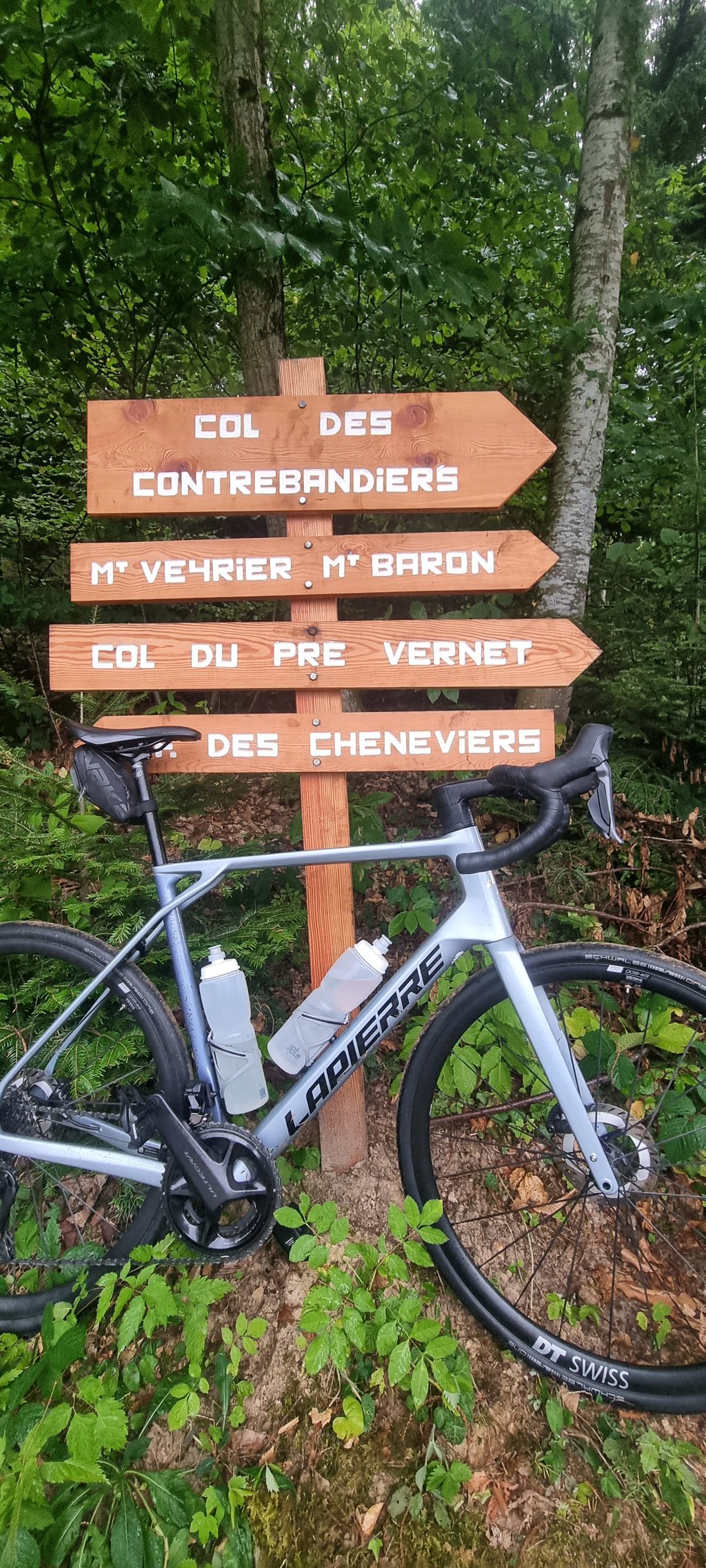
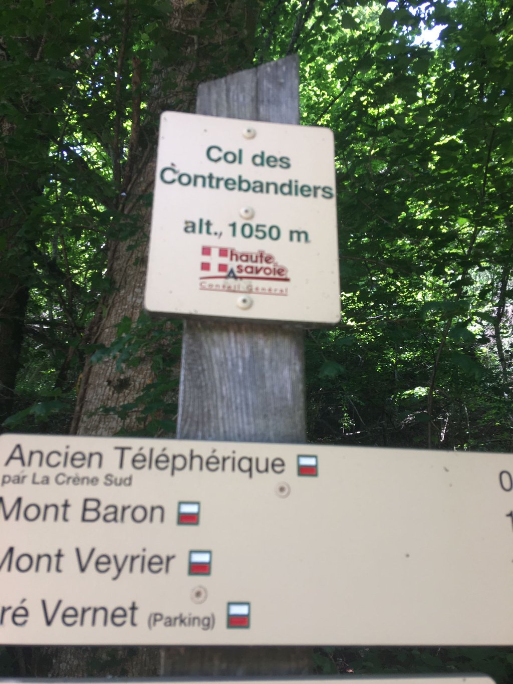
Col des Contrebandiers from Sur-les-Bois is a climb in the region Annecy. It is 5.2 mi long and bridges 1939 ft of vertical ascent with an average gradient of 7.1%, resulting in a difficulty score of 487. The top of the ascent is located at 3474 ft above sea level. Climbfinder users shared 5 reviews of this climb and uploaded 7 photos.
Road name: Route Forestière du Mont Baron
2.0 by Sven21This is an automatic translation, the original language is: French.A climb of no real interest, very close to Annecy. The road has been closed to cars for 1 year from the Plan de Sagran, so it's no longer maintained and it's a safe bet that it won't be cycleable in a few years. The condition of the road means that you need to be extra vigilant on the way down (large potholes, bumps, even mud puddles).... read more
Welcome! Please activate your account if you would like to share something. Look for the verification email in your inbox.
If you want to upload your photos, you need to create an account. It only takes 1 minute and it's completely free.
Nice pass that lives up to its name, climbed on a narrow road in poor condition between the trees, no view at the finish, but it's a pass worth doing.
Col sympa qui porte bien son nom montee sur une route étroite en mauvais état entre les arbres pas de point de vue a l arrivée mais c est un col a faire
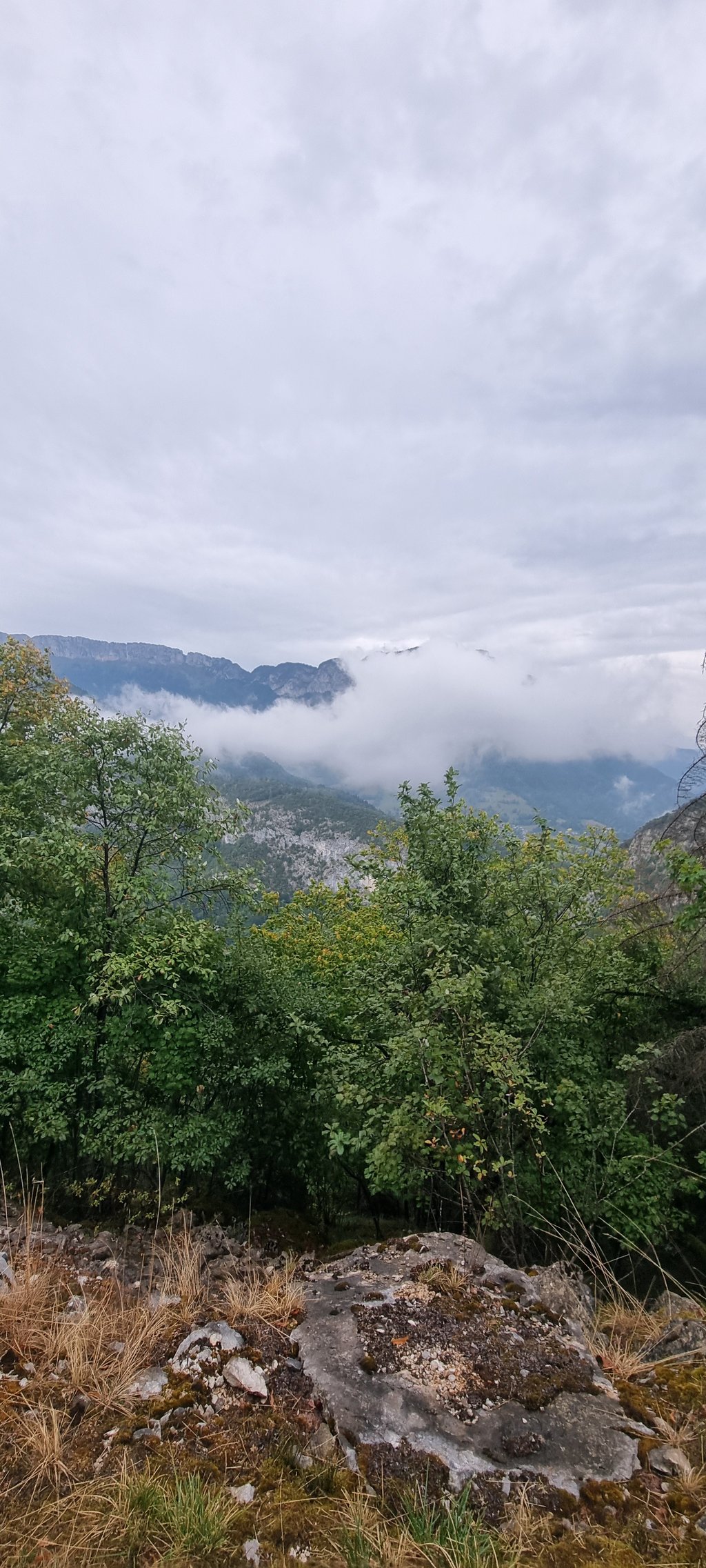
The climb is sustained from a sporting point of view. The gradients are regular and fairly high throughout the climb. The pass is a cul de sac, and the road is in very poor condition, so the descent may take longer than expected. What's more, the entire ascent takes place in a forest, which doesn't offer any interesting viewpoints. I strongly advise against climbing this pass by road bike.
L'ascension est soutenue d'un point de vue sportif. Les pourcentages sont réguliers et plutôt élevés tout au long de la montée. Par ailleurs, le col est un cul de sac, et, la route étant en très mauvais état, la descente peu s'avérer plus longue que prévu. De plus, toute l'ascension s'effectue dans une forêt ce qui n'offre pas de point de vue intéressant. Je vous déconseille fortement de monter ce col en vélo de route.
A climb of no real interest, very close to Annecy. The road has been closed to cars for 1 year from the Plan de Sagran, so it's no longer maintained and it's a safe bet that it won't be cycleable in a few years. The condition of the road means that you need to be extra vigilant on the way down (large potholes, bumps, even mud puddles).
Montée sans réel intérêt, très proche d'Annecy. La route est fermée aux voitures depuis 1 an à partir du plan de Sagran, par conséquent elle n'est plus entretenue et il y a fort a parier qu'elle ne sera plus cyclable d'ici quelques années. Son état implique une vigilance accrue à la descente ( gros nids de poules, bosses, voir flaques de boue )
This climb on a road bike leads to a dead end. Obligation to go down by the same road. Good to know ... road dotted with holes but it passes :)
Cette montée a velo de route amene a cul de sac. Obligation de descendre par la meme route. Bon a savoir .. route parsemée de trous mais ca passe :)
A climb almost completely through the woods. Sustained in places. Road in poor condition but no problems on the ascent. The closest climb to Annecy with the Semnoz.
Montée pratiquement complètement dans les bois. Soutenue par endroit . Route en mauvaise état mais aucun problème à la Montée. Vigilance à la descente .La montée la plus proche d'Annecy avec le Semnoz.
| 5 mph | 01:02:22 |
| 7 mph | 00:44:09 |
| 9 mph | 00:34:24 |
| 12 mph | 00:25:51 |
This page is better in the app