View on map
© MapLibre | OpenStreetMap contributors
1%
2%
4%
6%
8%
10%
12%
15%
20%

Col des Aires from Savoillan

3.3
3 reviews | Elevation profile | 7 photos
Tips nearby
Col des Aires from Savoillan
transparant thumb
Your achievable time
Calculating based on your best performances...
Relaxed
Maximum
W/kg
W/kg
W/kg
Analyze your climbing performance
Detailed insight into your climbing performance & automatically check off climbs
Based on your best performances.
Your best attempt:
Number of attempts:
Elevation profile Col des Aires from Savoillan

Statistics

Difficulty points 49
Length 2.4 mi
Average gradient 3.5%
Steepest segment 5.1%
Total ascent 440 ft

Short recap

Beautiful scenery
1 hairpin turn
#82 longest climb of Vaucluse
Feedback about this climb?
Show climbs nearby Export to GPS device

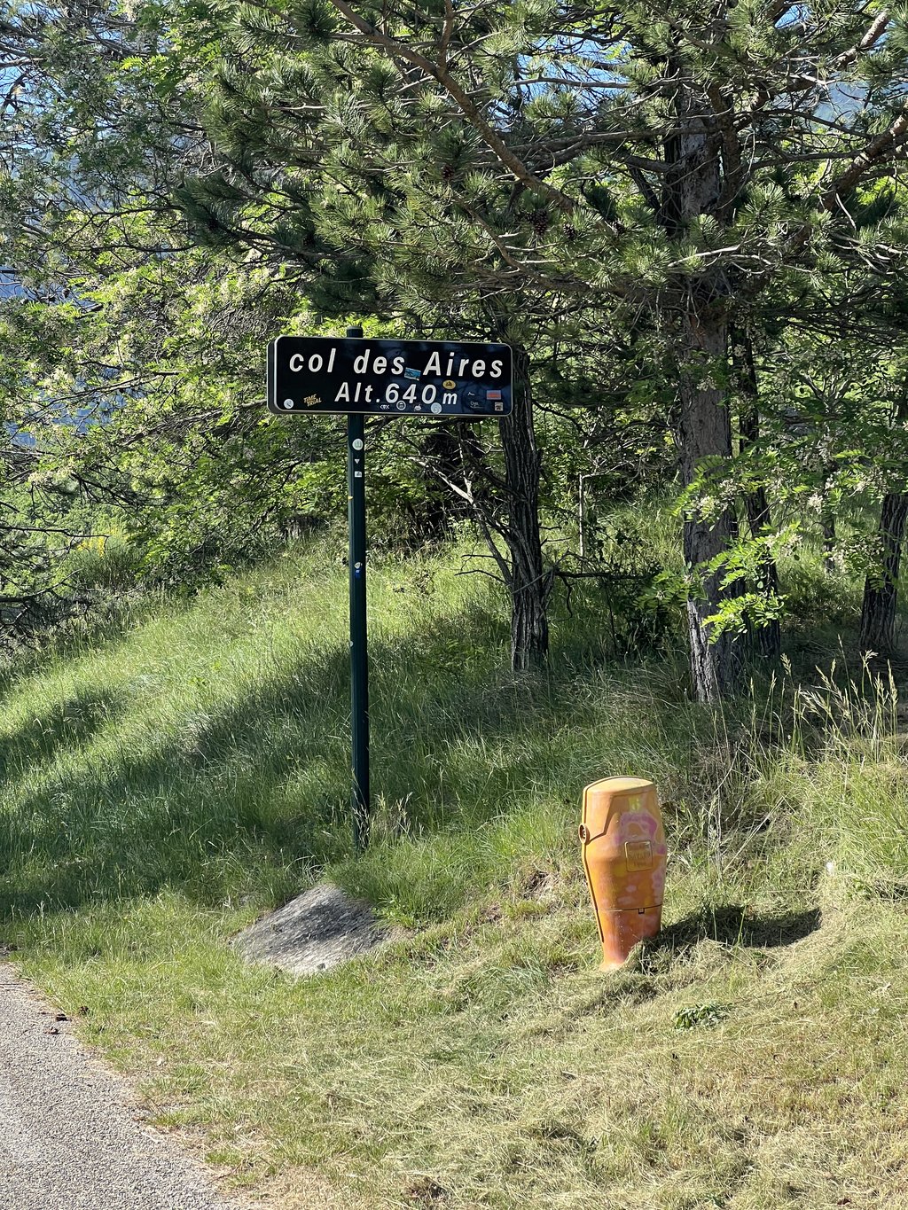
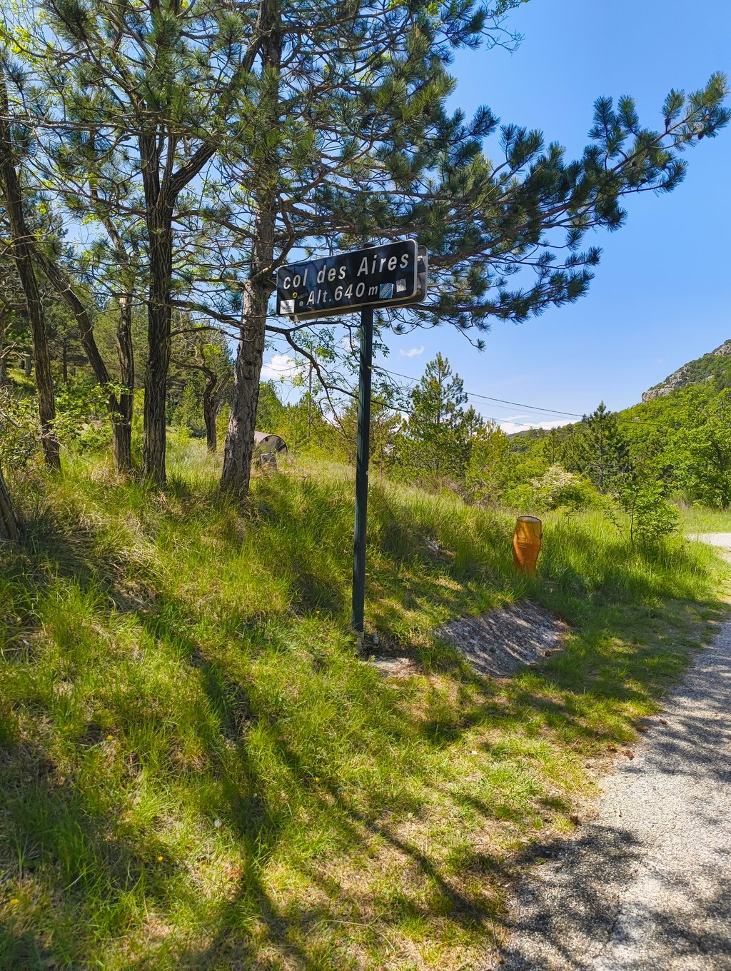
Col des Aires from Savoillan is a climb in the region Vaucluse. It is 2.4 mi long and bridges 440 ft of vertical ascent with an average gradient of 3.5%, resulting in a difficulty score of 49. The top of the ascent is located at 2113 ft above sea level. Climbfinder users shared 3 reviews of this climb and uploaded 7 photos.

Road name: D41

3.0 by merciermk
This is an automatic translation, the original language is: French.
Done from the Col de Fontaube during the GF Ventoux. A nice, clean road that will take you towards Sault. Beautiful scenery... read more

Photos (7)

Col des Aires from Savoillan
transparant thumb
transparant thumb
transparant thumb
transparant thumb
transparant thumb

Your uploads (max 4)

Welcome! Please activate your account if you would like to share something. Look for the verification email in your inbox.

If you want to upload your photos, you need to create an account. It only takes 1 minute and it's completely free.

  • Receive free climbfinder goodies for your reviews & photos.
  • Create a bucket list and check off conquered climbs.
  • Add missing climbs.
Continue with GoogleContinue with Google Continue with FacebookContinue with Facebook Continue with AppleContinue with Apple Sign up with email
By signing up you agree to our terms of service and confirm that you have read our privacy & content policy.

Reviews (3)

5.0
4.0
3.0
2.0
1.0
merciermk
11 Mo 3.0
This is an automatic translation, the original language is: French. Show original

Done from the Col de Fontaube during the GF Ventoux. A nice, clean road that will take you towards Sault. Beautiful scenery

Faite depuis le col de Fontaube durant la GF ventoux. Une belle route, propre qui va vous emmener vers Sault. Beau paysage

Dashboard
N_M
1 y 4.0 via the Climbfinder app
This is an automatic translation, the original language is: Dutch. Show original

Gentle climb to ride from Sault towards the Col de Fontaube and Buis-les-Baronnies. If you want a firmer climb through a beautiful village, you can do so by taking the D40 and driving up in Brantes.

Zachte beklimming om vanuit Sault richting de Col de Fontaube en Buis-les-Baronnies te rijden. Als je steviger wil klimmen door een prachtig dorp kan dat door de D40 te nemen en in Brantes naar boven te rijden.

Dashboard
Agostinho53
4 y 3.0 00:16:53 (8.5 mph)
This is an automatic translation, the original language is: Dutch. Show original

If you want to go from Sault via St.-Léger du Ventoux to Malaucène, you can add this climb as a bonus. Not that it amounts to much, but once past the top you can descend back to the main road via what I think is one of the prettiest villages in France, Brantes. A village really stuck against a mountainside, with only narrow walking streets.... breathtakingly beautiful, as is the view of the north face of that mighty Mont Ventoux. If you continue on the summit for a bit, descend a bit and climb back up, you will arrive at the top of the Col de Fontaube.

Als je van Sault via St.-Léger du Ventoux naar Malaucène wil kan je dit klimmetje er als extraatje bijnemen. Niet dat het veel voorstelt, maar eenmaal voorbij de top kan je terug afdalen naar de hoofdweg via, wat ik een van de mooiste dorpjes van Frankrijk vind, nl Brantes. Een dorpje dat werkelijk tegen een bergflank geplakt is, met enkel smalle wandel straatjes....adembenemend mooi, net zoals het zicht op de noordzijde van die machtige Mont Ventoux. Als je op de top een stukje doorrijdt even afdalen en terug klimmen kom je op de top van de col de Fontaube.

Col des Aires from Savoillan
Dashboard

Climbing times

5 mph 00:28:57
7 mph 00:20:30
9 mph 00:15:58
12 mph 00:12:00

Road surface condition

0% 0% 0%
Based on 0 votes
Share your knowledge. What was the road condition during your ascent?

Traffic

0% 0% 0%
Based on 0 votes
Your experience counts. How much traffic did you encounter during the climb?

Frequently Asked Questions

You don't need special gearing for Col des Aires from Savoillan. The slope isn't long or steep enough to require much shifting down. You can conquer this climb on power alone. However, a compact gearing system with a smallest front chainring of 34 and largest rear sprocket of 28 or 30 is always nice if you enjoy cycling uphill. This helps maintain a smooth cadence.

Col des Aires from Savoillan falls into the 5th category. With good fitness, you can ride it up with speed and power. If you have less training, shift down and climb smoothly.

Col des Aires from Savoillan is 2.4 mi long.

The average gradient of Col des Aires from Savoillan is 3.5%.

Col des Aires from Savoillan has a steepest segment with an average gradient of 5.1%.

The summit of Col des Aires from Savoillan is at 2113 ft.

At a slow pace of 5 mph, it takes about 00:28:57 to climb Col des Aires from Savoillan. At 7 mph the time is 00:20:30, and at 9 mph 00:15:58. For the fastest cyclists, 00:12:00 is an achievable time.

Col des Aires from Savoillan is located in the region Vaucluse in France.

This page is better in the app

Climbfinder app
Climbfinder
(Free)
Open