| Beautiful scenery |
| Hidden gem |
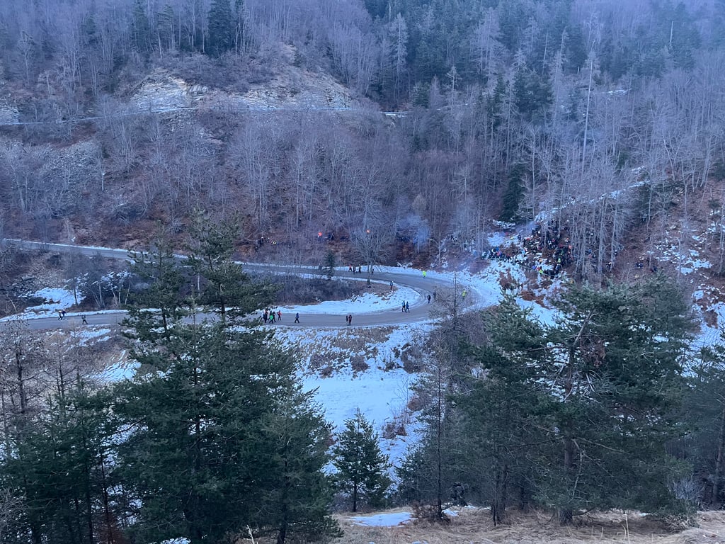
| 4 hairpin turns |
| #86 toughest climb of Hautes Alpes |
| #50 most elevation gain of Hautes Alpes |
| #31 longest climb of Hautes Alpes |
Col de Moissière from Forest Saint Julien is a climb in the region Serre Ponçon. It is 7 mi long and bridges 1765 ft of vertical ascent with an average gradient of 4.8%, resulting in a difficulty score of 340. The top of the ascent is located at 5154 ft above sea level. Climbfinder users shared 1 review/story of this climb and uploaded 2 photos.
Road names: D514 & D213T
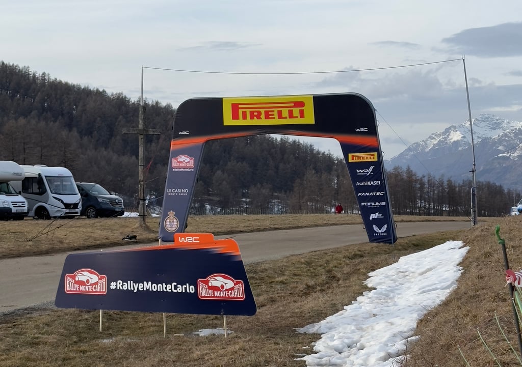
3.0 by RICARDO71This is an automatic translation, the original language is: French.From Ancelle, the Col de Moissiere is a must in this valley, taking you up to the Plateau de Costebelle and back down the other side towards Gap and/or Embrun via the Forêt du Sapet. Also the venue for a special stage in the Monte Carlo rally, this climb is fun to do and less difficult than it looks when you're at the foot of it.... read more
Welcome! Please activate your account if you would like to share something. Look for the verification email in your inbox.
If you want to upload your photos, you need to create an account. It only takes 1 minute and it's completely free.
From Ancelle, the Col de Moissiere is a must in this valley, taking you up to the Plateau de Costebelle and back down the other side towards Gap and/or Embrun via the Forêt du Sapet. Also the venue for a special stage in the Monte Carlo rally, this climb is fun to do and less difficult than it looks when you're at the foot of it.
A partir d’Ancelle, le col de moissiere est un incontournable dans cette vallée qui permet de monter sur le plateau de Costebelle et de redescendre sur l’autre versant en direction de gap et/ou embrun par la forêt du sapet. Théâtre aussi d’une spéciale du rallye monte carlo, cette montée est sympathique à faire et moins difficile qu’il en paraît lorsqu’on est à son pied.
| 5 mph | 01:24:56 |
| 7 mph | 01:00:07 |
| 9 mph | 00:46:51 |
| 12 mph | 00:35:12 |
This page is better in the app