Col de la Peyronière from Saint Léger du Ventoux is a climb in the region Vaucluse. It is 2.8 mi long and bridges 558 ft of vertical ascent with an average gradient of 3.8%, resulting in a difficulty score of 82. The top of the ascent is located at 1903 ft above sea level. Climbfinder users shared 3 reviews of this climb and uploaded 2 photos.
Road names: D 40 & Route de Montbrun
3.0 by PolitiskTeoriFanThis is an automatic translation, the original language is: English.I will always remember this climb as I rode it on the day in 2021 where the Tour was visiting Mont Ventoux twice (Wout van Aert won and Vingegaard dropped Pogacâr for the first time). I rode the climb with my father and the goal was to reach Malaucene in time for the finish of the Tour stage. The road is well paved and moderate in gradients, and you get the fantastic view of the Ventoux massif on your left side as you climb. If you are in the area of Vaison or Malaucene, this climb is well wort... read more
Welcome! Please activate your account if you would like to share something. Look for the verification email in your inbox.
If you want to upload your photos, you need to create an account. It only takes 1 minute and it's completely free.
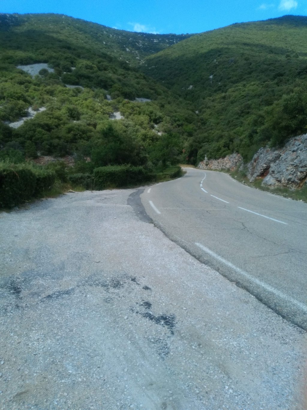
I will always remember this climb as I rode it on the day in 2021 where the Tour was visiting Mont Ventoux twice (Wout van Aert won and Vingegaard dropped Pogacâr for the first time). I rode the climb with my father and the goal was to reach Malaucene in time for the finish of the Tour stage. The road is well paved and moderate in gradients, and you get the fantastic view of the Ventoux massif on your left side as you climb. If you are in the area of Vaison or Malaucene, this climb is well worth tackling in combination with the Propiac and Fontaube climbs for a scenic and longer loop.
Magnificent ascent on a wide, clean road (be careful, there may be a few stones on the road). After crossing the Toulourenc, there's an initial embankment as you enter Saint-Léger-du-Ventoux, before dropping down to the foot of the climb. On this short descent, watch out for the speed bump - it's steep!
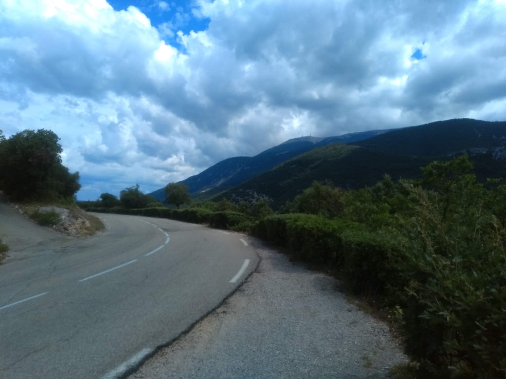
Around 1km from the summit, the slope rises slightly, but the last few hectometres are flat, which, combined with the absence of a sign indicating the pass (as it isn't a pass), makes it difficult to identify the summit.
The descent that follows is steep and straight, so watch out for pebbles on the road!
Magnifique ascension sur une route large et propre (petite vigilance, il peut y avoir quelques cailloux sur la route). Il y a un premier talus après la traversée du Toulourenc pour rentrer dans Saint-Léger-du-Ventoux, avant de replonger vers le pied de la montée. Dans cette courte descente, attention au dos-d'âne, il est abrupt !
Vers 1km du sommet, la pente se dresse légèrement, mais les derniers hectomètres sont en faux plat, ce qui, ajouté à l'absence de panneau signalant le col (puisque ce n'est pas un col), ne facilite pas l'identification du sommet.
La descente qui suit est raide et rectiligne, attention aux éventuels cailloux sur la route !
Climbed on 1 July 2021. Beautiful weather and beautiful views of Mont Ventoux and the surrounding area. Then you sometimes forget that it's a tough climb after all! Unfortunately no col sign at the top. Worth the effort. Good road and little (tourist) traffic.
Beklommen op 1 juli 2021. Prachtig weer en fraaie uitzichten op de Mont Ventoux en de omgeving. Dan vergeet je soms dat het toch een pittige klim is! Helaas geen col bord op de top. De moeite waard. Goede weg en weinig (toeristisch) verkeer.
| 5 mph | 00:33:57 |
| 7 mph | 00:24:02 |
| 9 mph | 00:18:43 |
| 12 mph | 00:14:04 |
This page is better in the app