Col de la Liguiere from Saint-Saturnin-lès-Apt is a climb in the region Vaucluse. It is 5.7 mi long and bridges 1985 ft of vertical ascent with an average gradient of 6.6%, resulting in a difficulty score of 424. The top of the ascent is located at 3222 ft above sea level. Climbfinder users shared 11 reviews of this climb and uploaded 6 photos.
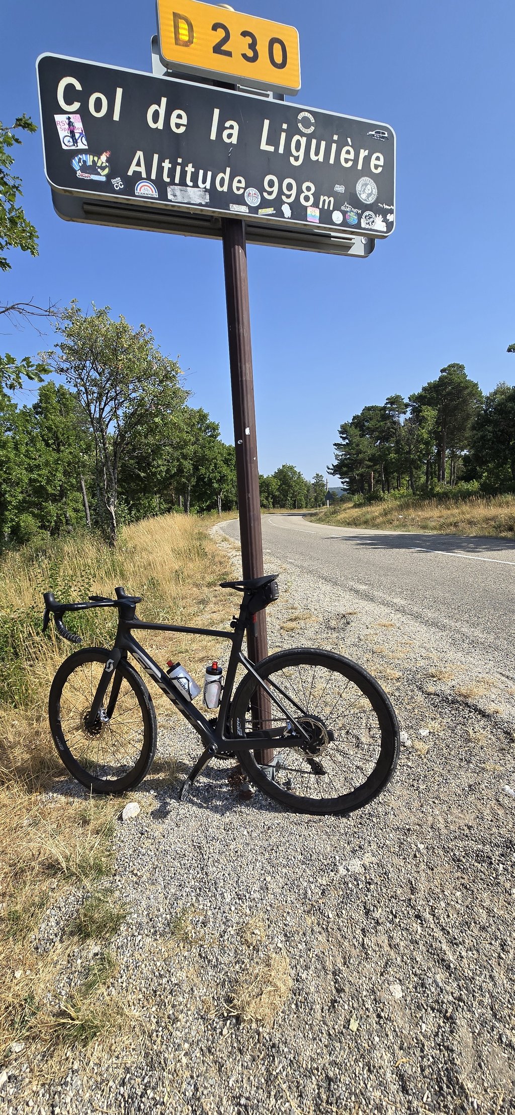
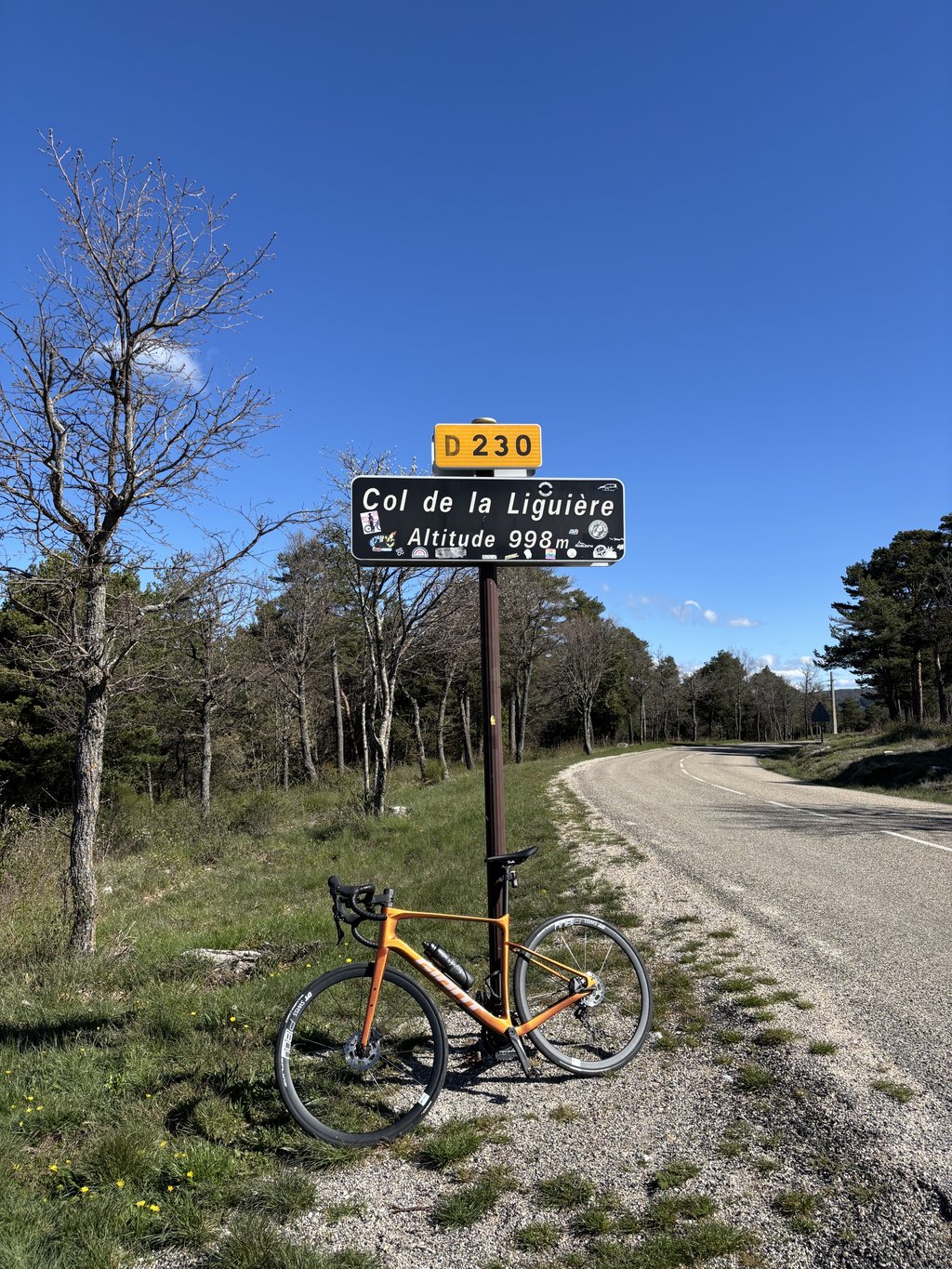
Road name: D230
4.0 by KarelOverbeekeThis is an automatic translation, the original language is: Dutch.Not too difficult, regular climb through a typical Provencal landscape, little to no shade so it can be very hot in summer (southern slope). Although the road winds up you rarely have a nice view. The road is for Provencal standards in reasonable condition, but the high temperature differences noo a billiard sheet. If you climb at the end of May / June is when you descend the reward great, many lavender fields that you during the descent towards Sault already can smell... read more
Welcome! Please activate your account if you would like to share something. Look for the verification email in your inbox.
If you want to upload your photos, you need to create an account. It only takes 1 minute and it's completely free.
Started in St Saturnin les Apt and is nevertheless 3km longer because of this. Not to underestimate this climb. I have climbed some cols before but this one for the first time and is still an average tough climb. You can use this col as training for the Ventoux. You don't have to do it for the views, though. The road surface does not bolt well either.
Gestart in St Saturnin les Apt en is hierdoor toch wel 3km langer. Niet te onderschatten deze klim. Ik heb al wat cols beklommen maar deze voor de eerste keer en is toch een gemiddelde zware klim. Deze col kun je gebruiken als training op de ventoux. Voor het uitzicht hoef je het wel niet te doen. Ook het wegdek bolt niet goed.
I rode it in 2021 (to tackle Mt Ventoux from Sault the next day and thus from the easiest side). Good to ride, little traffic, but no spectacular views.
Bin ihn 2021 gefahren (um Tags darauf dem Mt. Ventoux von Sault und damit von der leichtesten Seite anzugehen). Gut zu fahren wenig Verkehr, allerdings such keine spektakulären Ausblicke.
Nice climb, and hardly any traffic! View not very special because of the many trees along the road. Road surface is in good shape, a bit rougher asphalt but no potholes or anything. Climb was in the 2021 Tour I saw.
Lekkere klim, en nauwelijks verkeer! Uitzicht niet bijzonder door de vele bomen langs de weg. Wegdek ligt er goed bij, wel wat ruwer asfalt maar geen gaten of zo. Klim zat in de Tour van 2021 zag ik.
Not too difficult, regular climb through a typical Provencal landscape, little to no shade so it can be very hot in summer (southern slope). Although the road winds up you rarely have a nice view. The road is for Provencal standards in reasonable condition, but the high temperature differences noo a billiard sheet.
If you climb at the end of May / June is when you descend the reward great, many lavender fields that you during the descent towards Sault already can smell
Niet al te moeilijke, regelmatige klim door een typisch Provençaals landschap, Weinig tot geen schaduw waardoor het in de zomer erg heet kan worden (zuidhelling). Ondanks dat de weg zich naar boven slingert heb je toch zelden een mooi uitzicht. De weg is voor Provençaalse begrippen in redelijke staat, maar door de hoge temperatuurverschillen nooir een biljartlaken.
Als je deze klim eind mei / juni doet is als je afdaalt de beloning groot, vele lavendelvelden die je tijdens de afdaling richting Sault al kunt ruiken
This climb gedaad from st saturnin les apt, if you leave the valley (where we had our house) you may have a 3 km light climb bijnemen. Best of spirited pieces in the climb. Descent done the same way back and this is slightly less by the road, not too fast and careful steering is the message. Advantage is the little traffic.
Deze beklimming gedaad vanaf st saturnin les apt, als je uit het dal vertrekt ( waar wij ons vakantiehuis hadden ) mag je er een 3 km licht klimmen bijnemen. Best wel pittige stukken in de beklimming. Afdaling gedaan zelfde kant terug en deze is iets minder door het wegdek, niet te snel en aandachtig sturen is de boodschap. Voordeel is wel het weinige verkeer ..
I climbed this col on a hot summer day without much preparation. The result is a long, but at the same time delightful ordeal. In about fifty minutes I got to the top and descended via the same road. Not too much traffic, as mentioned below, a moderate road surface. If you drive from lower areas to Saint-Saturnin and then climb the col, you get a good 12 km where no meter is flat, the col is therefore harder than it looks.
Ik heb deze col beklommen op een warme zomerdag zonder al te veel voorbereiding. Resultaat is een lange, maar tegelijk heerlijke lijdensweg. In een goeie vijftig minuten boven en via dezelfde weg afgedaald. Op zich niet al te veel verkeer, zoals hieronder ook vermeld een matig wegdek. Als je vanuit lager gelegen gebieden naar Saint-Saturnin rijdt en de col daarna beklimt kom je toch aan een goeie 12 km waar geen meter vlak is, de col is hierdoor moeilijker dan hij lijkt.
Col de la Liguère I was going to do this one as a run up to the Mont Ventoux to I won't do it, is quite tricky and road surface (melted asphalt) is in bad shape (3 July 2015) there especially after small stones were sprinkled on the melted parts.
Col de la Liguère ik zou deze als aanloop doen naar de Mont Ventoux naar ik zal het niet doen, is vrij lastig en wegdek (gesmolten asfalt) ligt er slecht bij (3 juli 2015) er zeker nadat er kleine steentjes op de gesmolten delen werden gestrooid.
I climbed it on Saturday 30th August during the "Rallye de Cavaillon" (110km) with a nice descent via Lioux. Road a bit rough. Little traffic.
Ik heb 'm zaterdag 30 Augustus beklommen tijdens de "Rallye de Cavaillon" (110km) met een mooie afdaling via Lioux. Wegdek wat ruw. Weinig verkeer.
I'm 24 years 103 pounds and 13.5% fat I've actually never cycled the last 8 years and certainly not on a road bike on holiday in the provance at the foot of this climb rented a bike 3 days and today cycled up the mountain I've never suffered so much in my life but have reached the top in 1.08.40 thanks to this site I knew exactly what to expect egt top
Ik ben 24 jaar 103 kilo en 13.5 % vet ik heb eigenlijk de laatste 8 jaar nooit gefiets en zeker niet op een racefiets ben op vakantie in de provance aan de voet van deze klim heb een fiets gehuurd 3 dagen gefiets en vandaag de berg op gefiets heb nog nooit zoveel afgezien in me leven maar heb de top gehaald in 1.08.40 dankzij deze site wist ik precies wat me te wachten stond egt top
| 5 mph | 01:08:19 |
| 7 mph | 00:48:22 |
| 9 mph | 00:37:41 |
| 12 mph | 00:28:19 |
This page is better in the app