Tips nearby


| 10 hairpin turns |
| #52 toughest climb of France |
| #21 most elevation gain of France |
| #54 longest climb of France |
| #85 average steepest climb of La Maurienne |
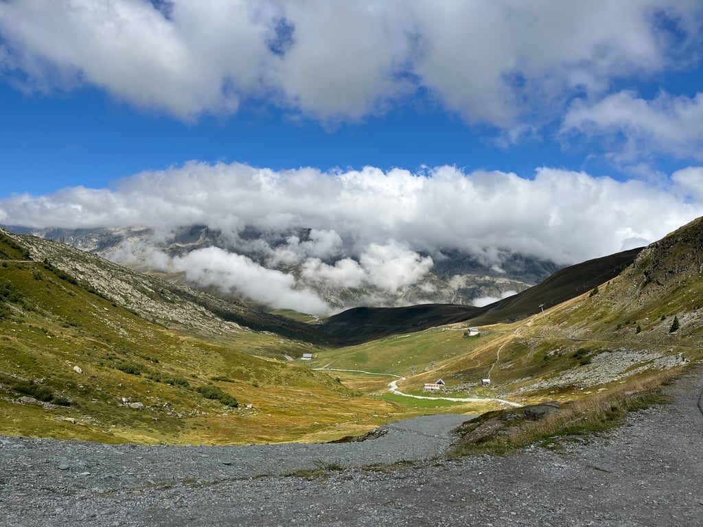
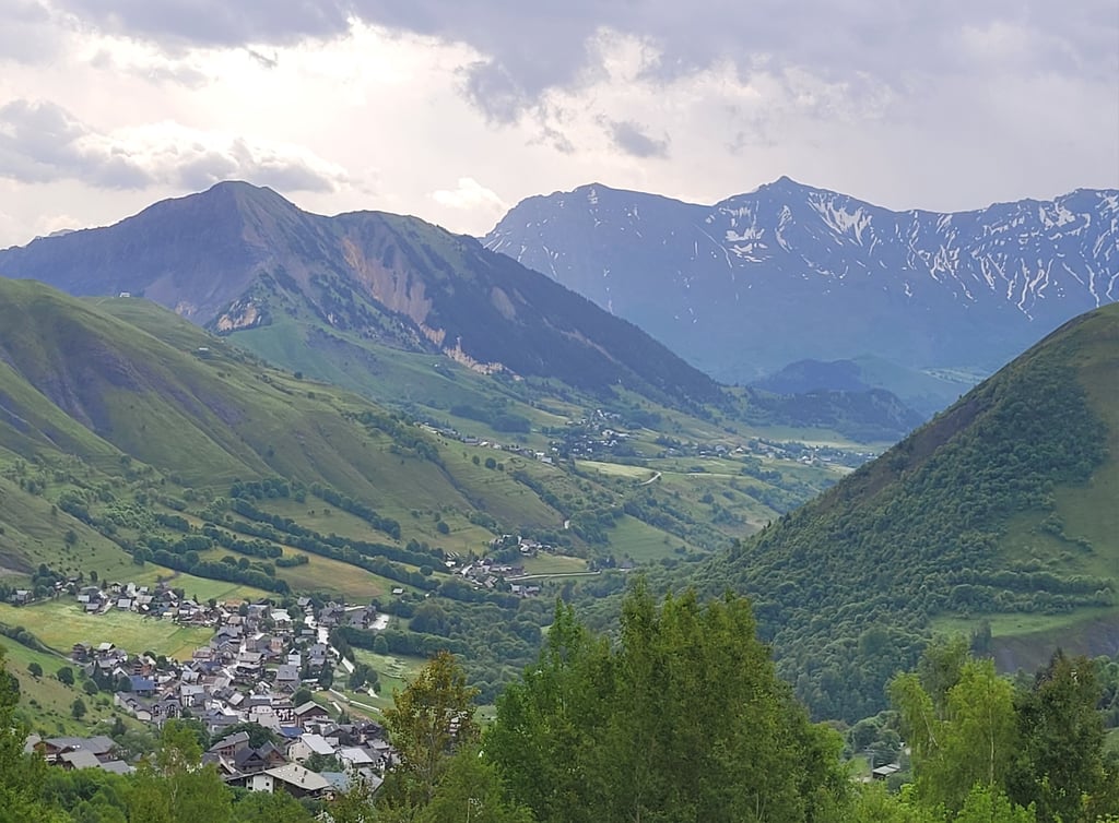
Col de la Croix-de-Fer is a climb in the region La Maurienne. It is 17.2 mi long and bridges 5075 ft of vertical ascent with an average gradient of 5.6%, resulting in a difficulty score of 1162. The top of the ascent is located at 6778 ft above sea level. Climbfinder users shared 7 reviews of this climb and uploaded 16 photos.
Road names: D 110, Route des Arves (Route nationale numéro 526) & D 926
5.0 by SophieEliseThis is an automatic translation, the original language is: English.Great climb. Considerate drivers and never too busy even in August. Consider climbing via Millard for an even quieter route... read more

Welcome! Please activate your account if you would like to share something. Look for the verification email in your inbox.
If you want to upload your photos, you need to create an account. It only takes 1 minute and it's completely free.
Great climb. Considerate drivers and never too busy even in August. Consider climbing via Millard for an even quieter route
Easy, hard, easy, hard - that's how I'd describe this pass. 28km of it stings the legs, especially after the village of Saint Sorlin d'Arves. The views are incredible all the way up, which makes you forget just how long this pass is.
Facile, dur, facile, dur voilà comment je définirais ce col. 28km ca pique dans les jambes surtout après le village de Saint Sorlin d’Arves. Les vues sont incroyables tout au long de l’ascension ce qui fait un peu oublier la longueur de ce col.
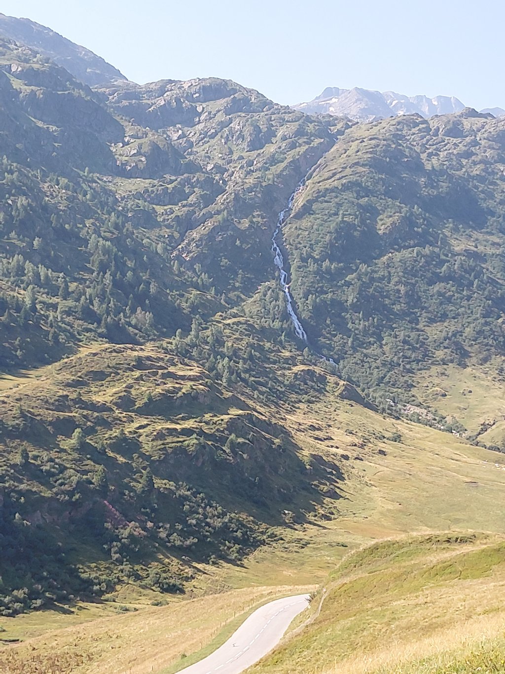
It's a real pleasure to ride, the road is beautiful and the asphalt is very good. The valley is spectacular and there are several springs along the way.
Una gozada, preciosa la variante, con asfalto muy bueno. El valle es espectacular y hay varias fuente en el camino.
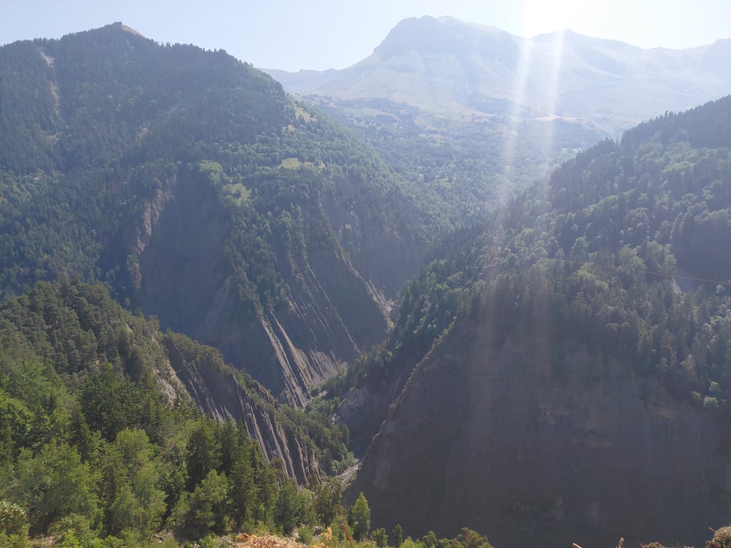
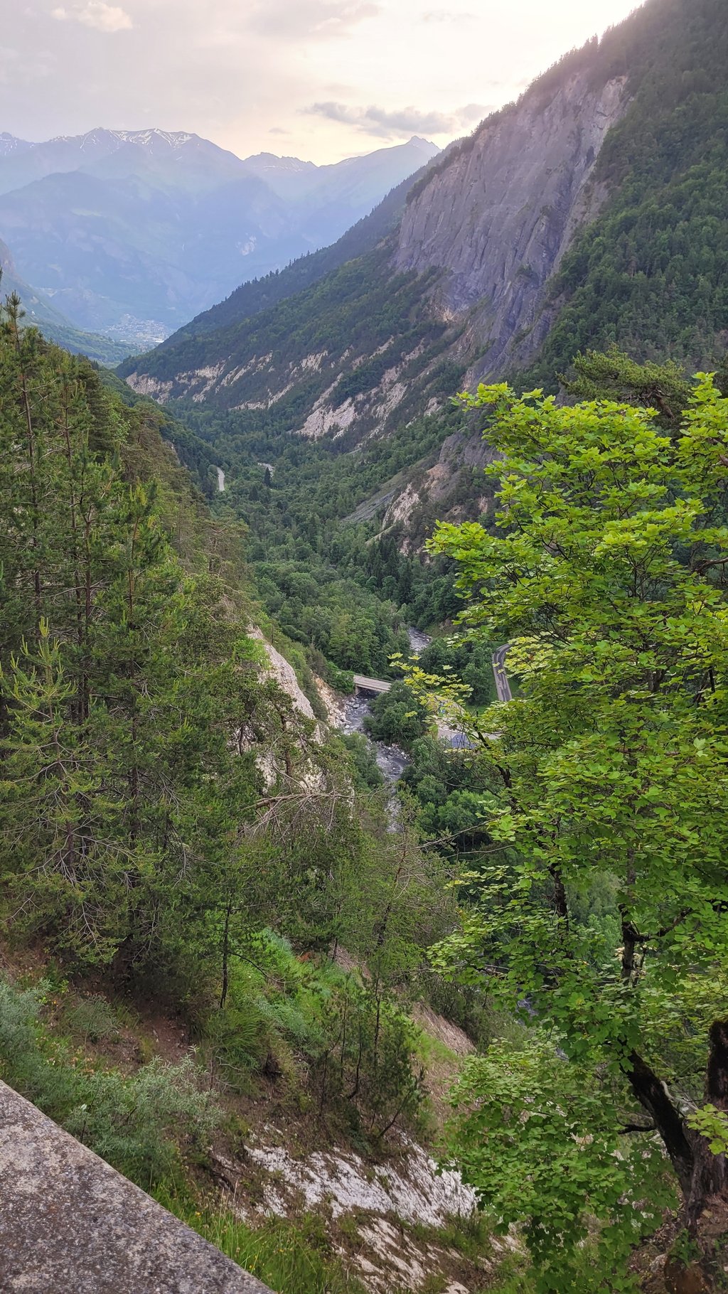
Beautiful climb, first a stretch with a deep gorge and later stunning views. Right after a few kilometres is already a tough stretch. Near the tunnels and the part on the Panorama Route is easier. Last 6 km to the top (after the last village and with the hairpin bends) is pretty tough again. Nice combo: at the Croix de la Fer on to Glandon and descend it.
Mooie klim, eerst een stuk met een diepe kloof en later een prachtig uitzicht. Gelijk na een paar kilometer is al een zwaar stuk. Bij de tunnels en het deel over de Panorameroute is makkelijker. Laatste 6 km tot de top (na het laatste dorp en met de haarspeldbochten) is best weer zwaar. Mooie combi: bij de Croix de la Fer door naar Glandon en die afdalen.
Fabulous climb but not to be underestimated as it is a tough gradient from the start. Great road surface and less traffic once you turn off the main roads into the alpine villages. Road does get narrow near the summit so be careful of descending rides and cars. If you are lucky enough to experience it on a sunny day it will be one of your top climbs ever. Certainly in my top 3.
Taking the Route Panoramique to the top of the Croix de Fer, you won't regret it. Where the normal route is surrounded by trees and you find yourself on a busy road, this 8km provides beautiful views. You cycle leisurely through a few mountain villages. You descend towards the main route for the last 8km of the climb, which means you make slightly more altimeters in total. More than true as far as I'm concerned.
De Route Panoramique nemen naar de top van de Croix de Fer, daar ga je geen spijt van krijgen. Waar de normale route omringd is door bomen en je je op een drukke weg bevindt, zorgt deze 8km voor mooie uitzichten. Je fietst rustig door een paar bergdorpjes heen. Je daalt af richting de hoofdroute voor de laatste 8km van de klim, wat betekent dat je in totaal iets meer hoogtemeters maakt. Meer dan waar wat mij betreft.
I am genuinely surprised this alternative did not have a review yet (as of 27-07-2024)...
This end of the Ceroix de Fer is tougher than the other end, although either is do-able - it's the sheer length that makes cols like this hard. And the usual "We ran out of space, let's make the final steeper"...
I've done the Saint-Jean-de-Maurienne end several times, including this "Route Panoramique" which is worth doing as well, although it's slightly more demanding.
The views at some parts of this alternative as well as at the summit, particularly looking back to this end, are amazing.
| 5 mph | 03:27:06 |
| 7 mph | 02:26:37 |
| 9 mph | 01:54:15 |
| 12 mph | 01:25:50 |
This page is better in the app