Col de la Croix des Adrets / Col d'Hurtières from Tencin is a climb in the region Grenoble. It is 5.2 mi long and bridges 2070 ft of vertical ascent with an average gradient of 7.6%, resulting in a difficulty score of 569. The top of the ascent is located at 2844 ft above sea level. Climbfinder users shared 1 review/story of this climb and uploaded 1 photo.
Road name: D255
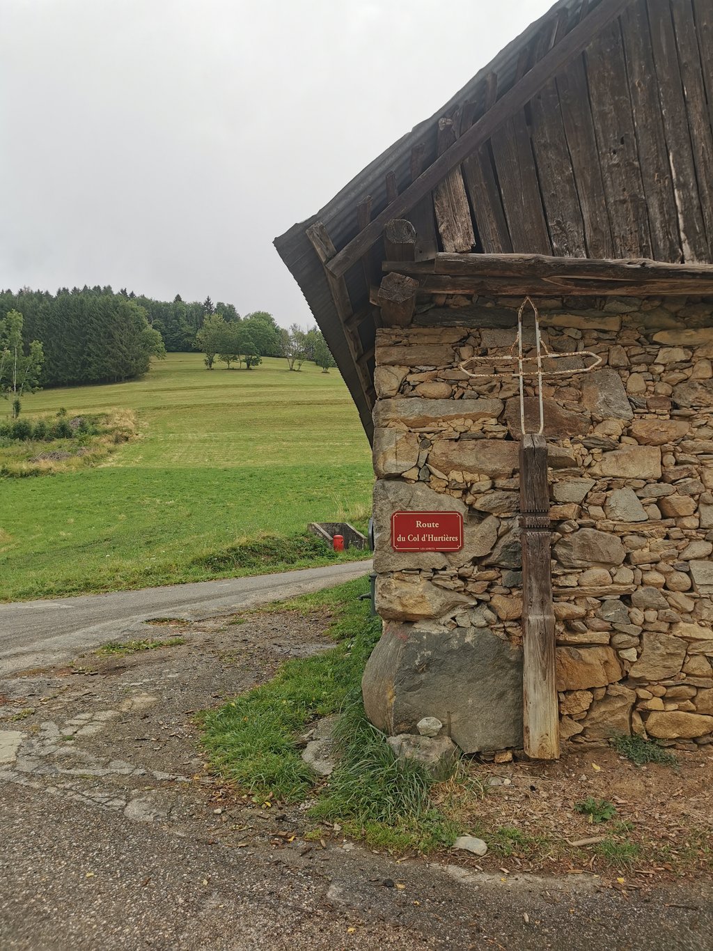
5.0 by WouterThis is an automatic translation, the original language is: Dutch.This is by far the nicest way to climb to the Col des Ayes. The road is narrow but in good condition with very little traffic. Sheltered by trees alternates with a few open stretches where you can see down into the Isère valley. You pass through the picturesque village of Hurtière where drinking water is available. Steady percentages until just before the summit!... read more
Welcome! Please activate your account if you would like to share something. Look for the verification email in your inbox.
If you want to upload your photos, you need to create an account. It only takes 1 minute and it's completely free.
This is by far the nicest way to climb to the Col des Ayes. The road is narrow but in good condition with very little traffic. Sheltered by trees alternates with a few open stretches where you can see down into the Isère valley. You pass through the picturesque village of Hurtière where drinking water is available. Steady percentages until just before the summit!
Dit is veruit de mooiste manier om naar de Col des Ayes te klimmen. De andere twee manieren vanuit Froges en Ten in zijn druk en minder beschut. Hier is de weg smal maar in goede staat met zeer weinig verkeer. Beschutting door bomen wisselt af met een paar open stukken waar je tot beneden in de vallei van de Isère kan kijken. Je passeert door het pittoreske dorpje Hurtière waar drinkwater beschikbaar is. Gelijkmatige percentages tot vlak voor de top!
| 5 mph | 01:02:15 |
| 7 mph | 00:44:04 |
| 9 mph | 00:34:20 |
| 12 mph | 00:25:48 |
This page is better in the app