| Beautiful scenery |
| Hidden gem |
| 18 hairpin turns |
| #29 toughest climb of Switzerland |
| #68 most elevation gain of Switzerland |
| #18 longest climb of Vaud |
| #21 average steepest climb of Vaud |
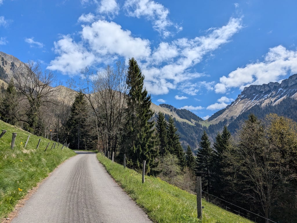
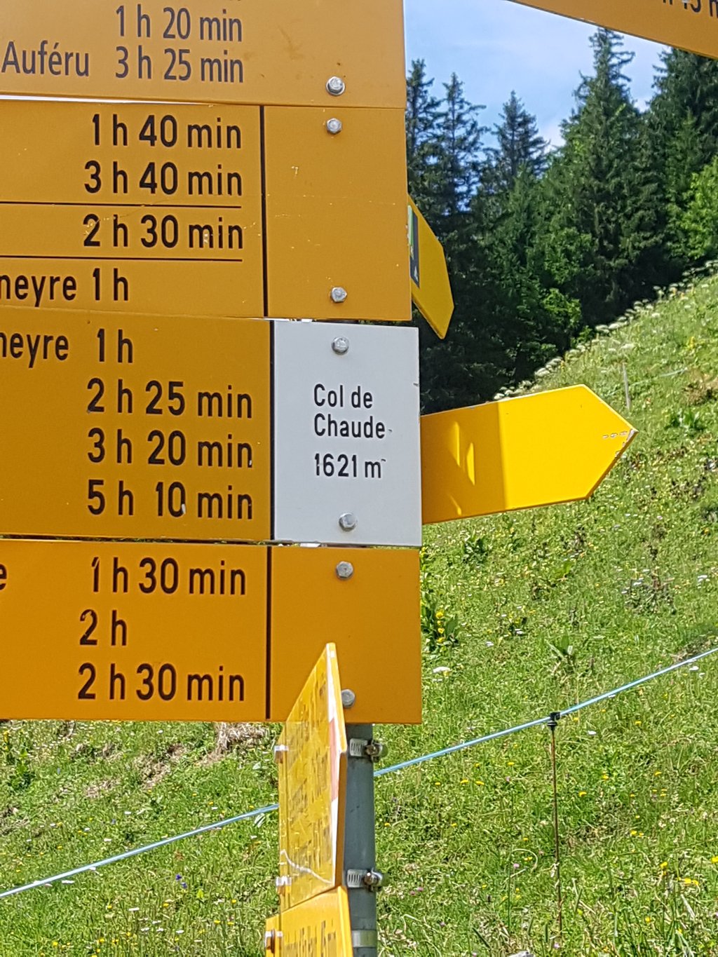
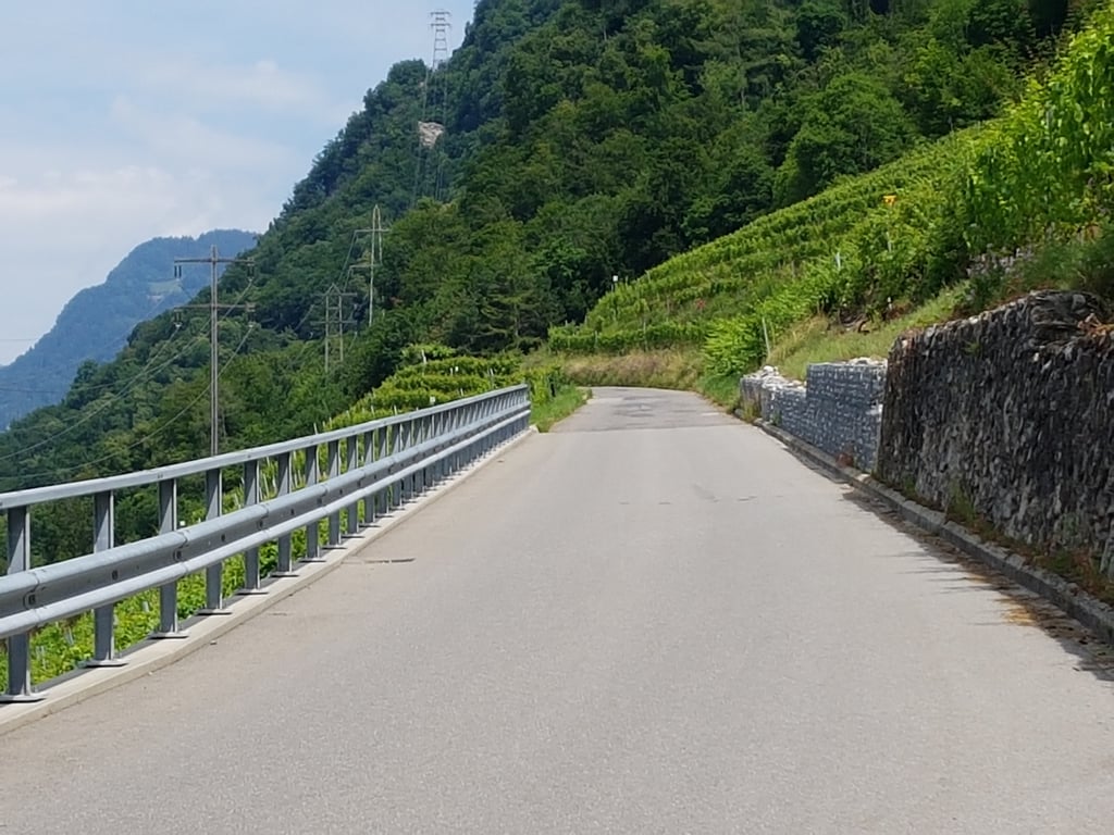
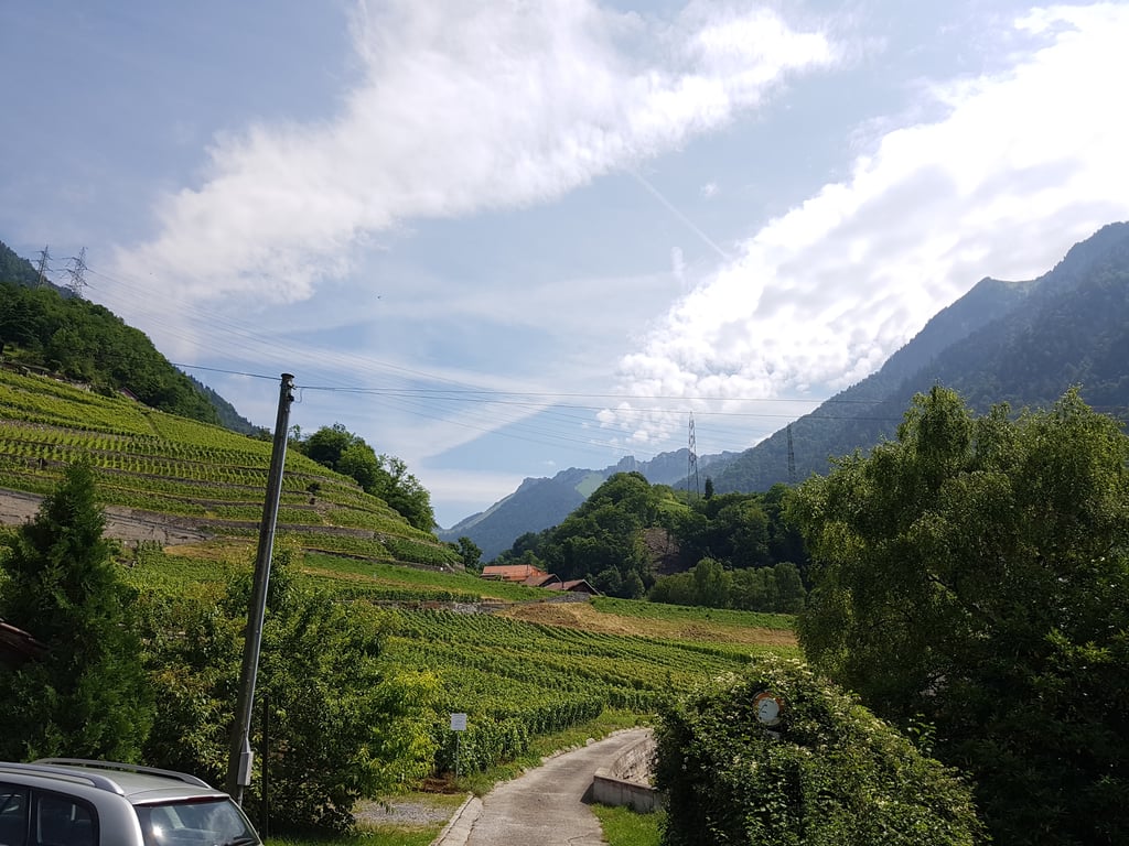
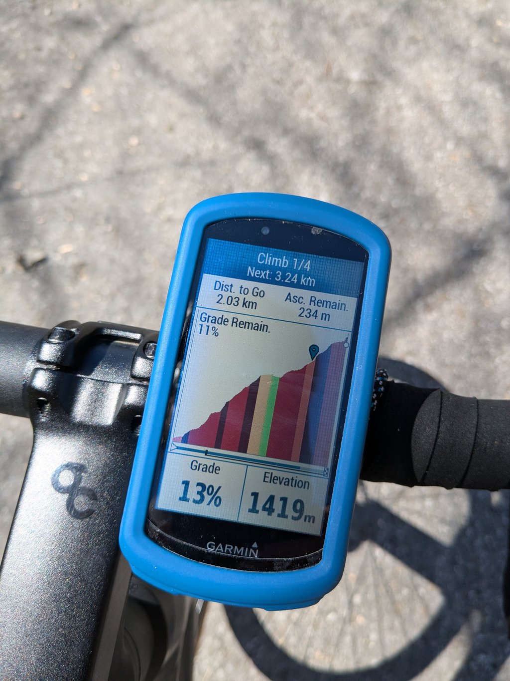
Col de Chaude from Villeneuve is a climb in the region Vaud. It is 8.3 mi long and bridges 4167 ft of vertical ascent with an average gradient of 9.5%, resulting in a difficulty score of 1316. The top of the ascent is located at 5328 ft above sea level. Climbfinder users shared 6 reviews of this climb and uploaded 21 photos.
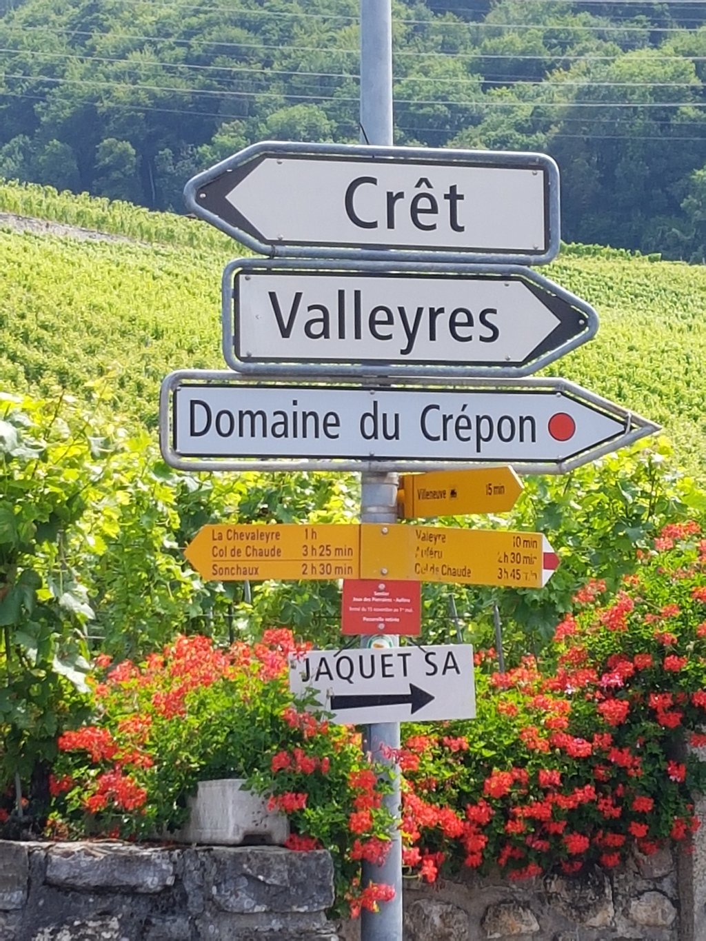
Road names: Route de la Tour-Rouge & Route de Chaude
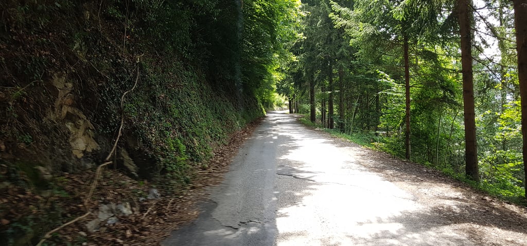
5.0 by RazorThis is an automatic translation, the original language is: English.Wonderful climb. It has a lovely tarmac up until Sonchaux turn off and then becomes narrower but reasonable. Lots of tree cover on the way up to avoid the hot sun. There is no where to fill bottles on the way up or top. Amazing visuals, especially given it is so close to Montreux... read more
Welcome! Please activate your account if you would like to share something. Look for the verification email in your inbox.
If you want to upload your photos, you need to create an account. It only takes 1 minute and it's completely free.
A challenging but very scenic climb. No water along the way
Montée difficile mais très belle. Pas d’eau sur le chemin
I went only to explore the feasibility fearing the 1318 points but ended up doing it entirely in a surprisingly good time of 2h03. Very few traffic as I did it very early. It was cloudy but it helped not having the scorching sun. Slow and firm pace all along the route and it was done!
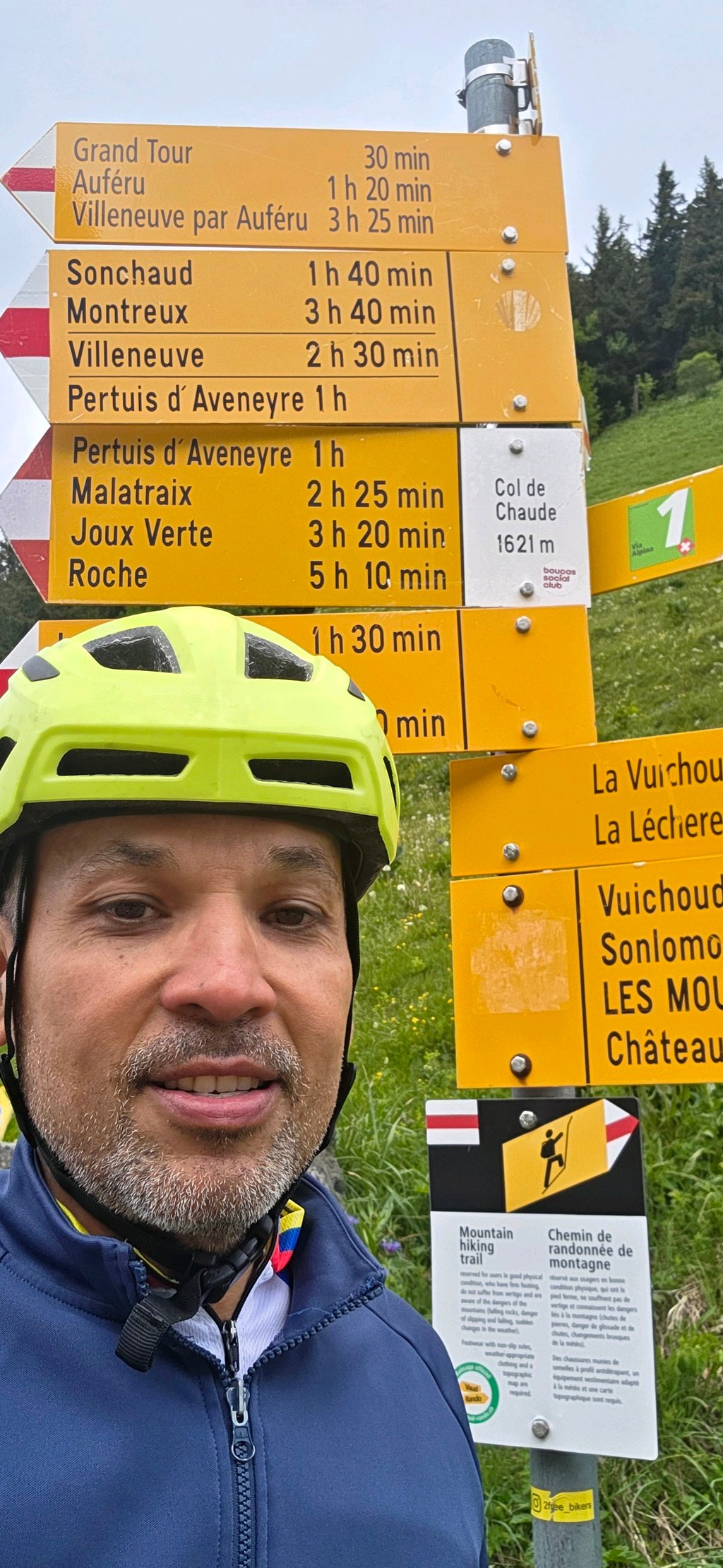
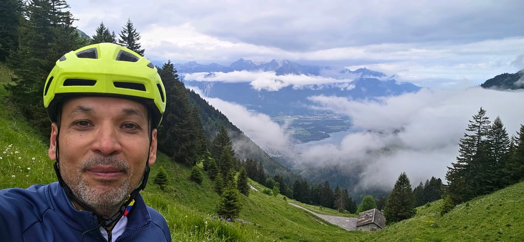
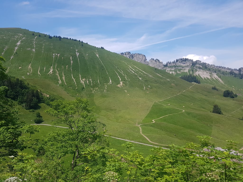
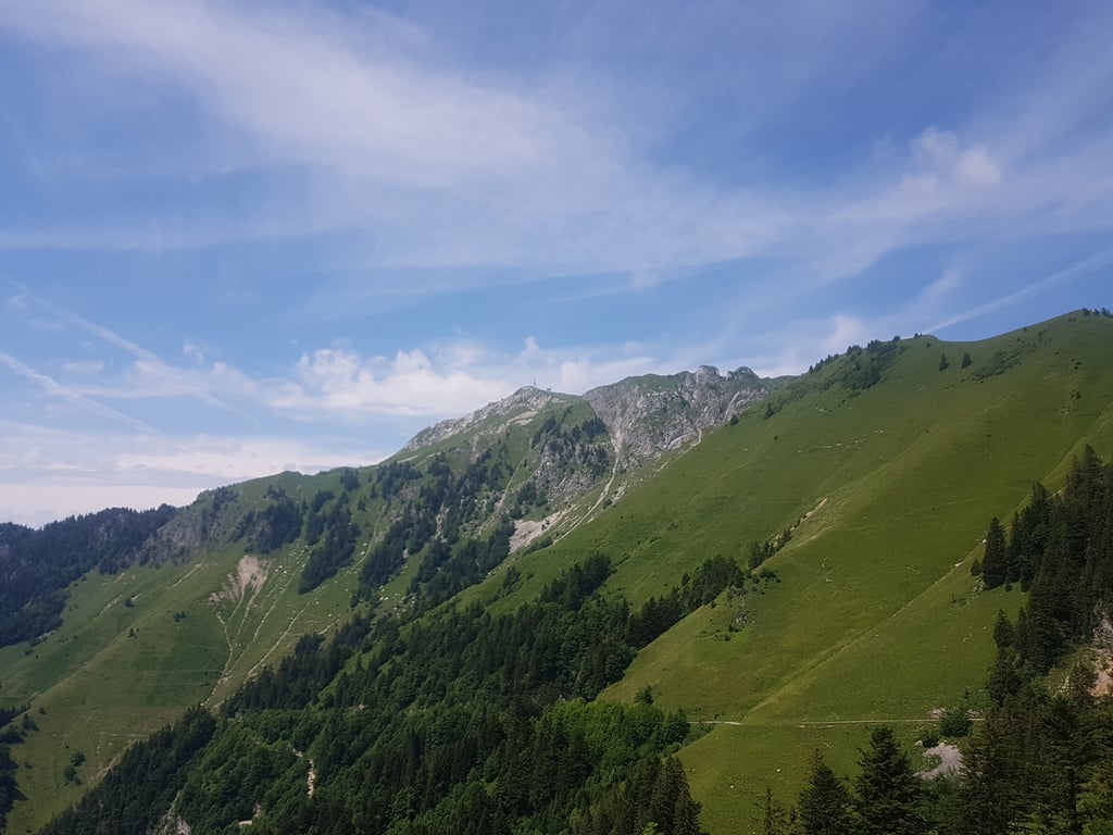
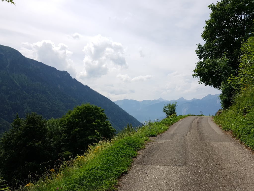
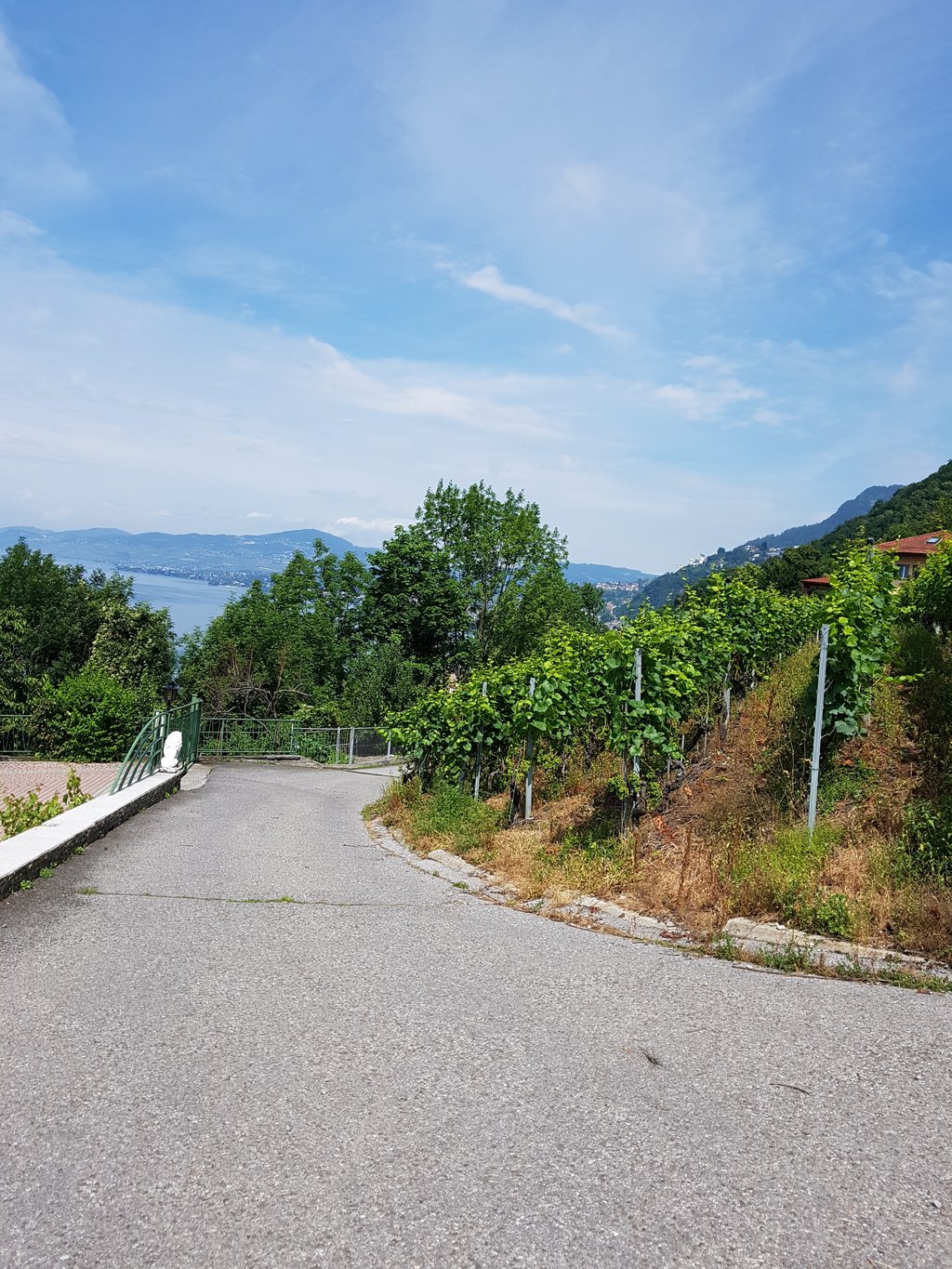
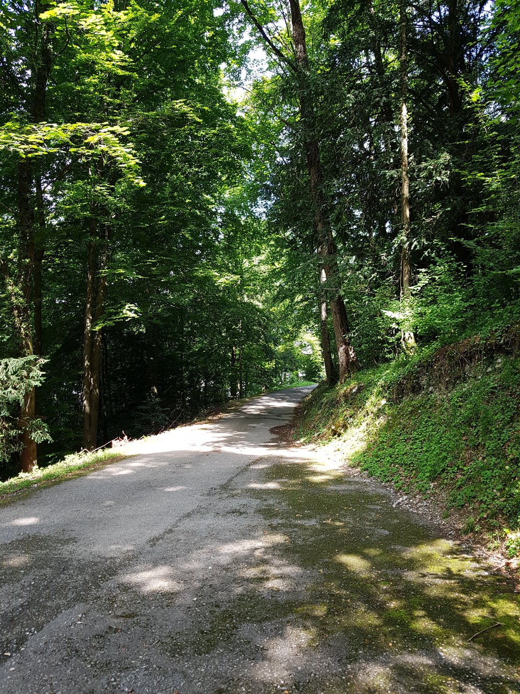
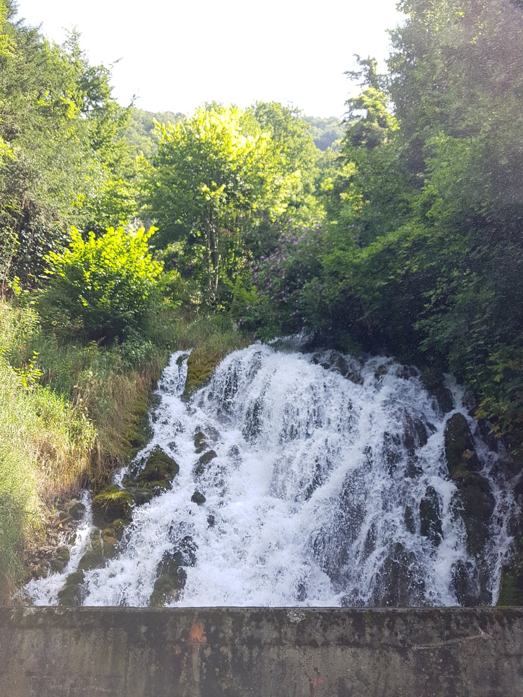
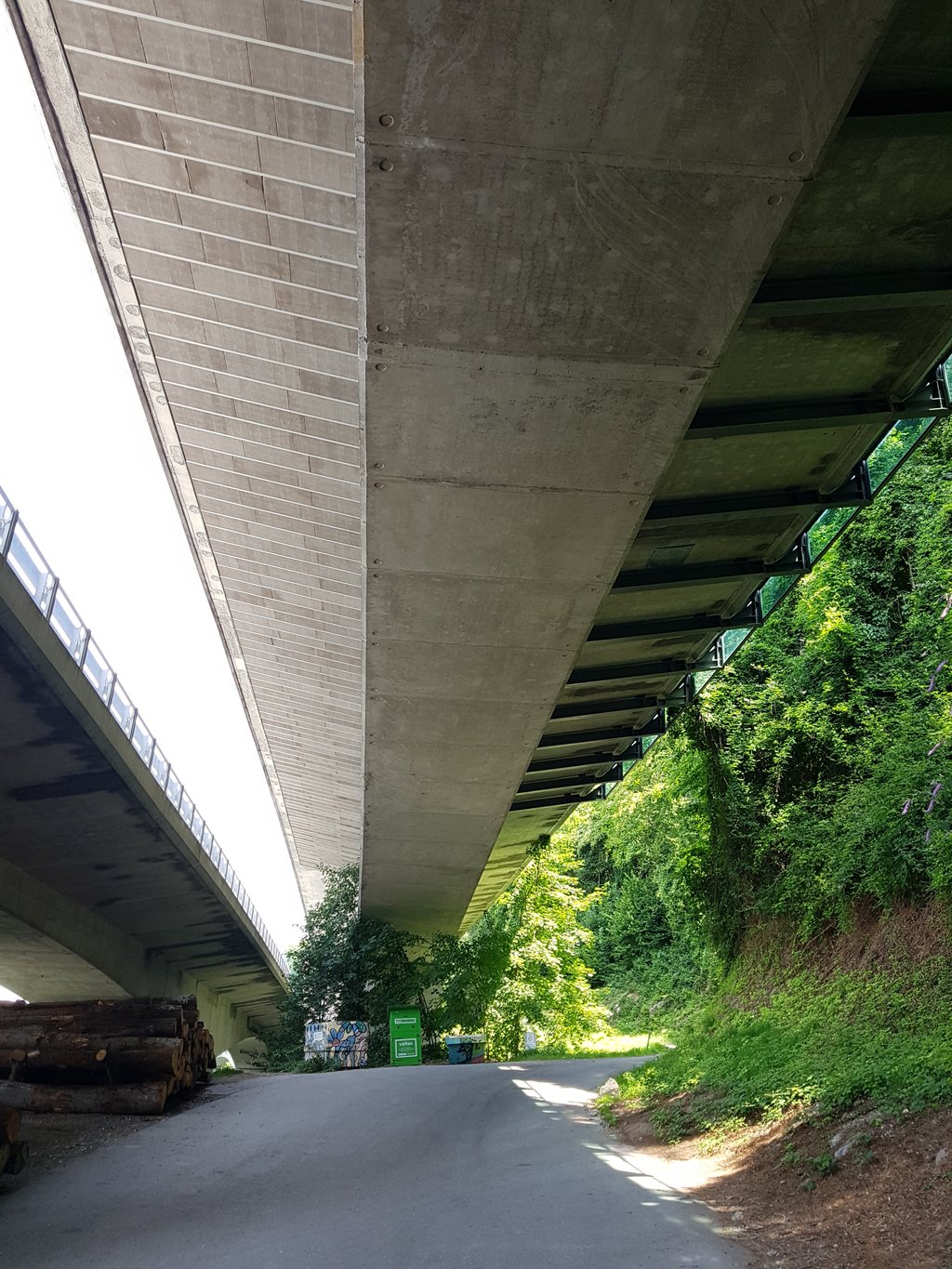
The Col de Chaude is epic and difficult to do. Between Veytaux and Villeneuve, there are plenty of opportunities to go under the motorway, which is necessary if you start by the lake. At the end of the count, turn off towards Sonchaux (Route de Chaude) between Crêt and Valleyres (look out for the little yellow signs). From here, the gradient starts out fairly moderate but becomes steeper as you go. After about 10 km, there's a flat section - but be careful, after that there's another 5 km or so to climb, which are even steeper. At the start, the view of Lake Geneva is marvellous. After that, you pass through a forest and a lot of pasture (lots of flies!). There's a great view of the Cime de Rochers de Naye. A little disappointingly, there's no real signpost on the pass.
Le Col de Chaude est épique et difficile à faire. Entre Veytaux et Villeneuve, il y a plein de possibilités de passer sous l'autoroute, ce qui est nécessaire si l'on commence au bord du Lac. À la fin du compte, on tournera vers Sonchaux (Route de Chaude) entre Crêt et Valleyres (faut reagrder les petits panneaux jaunes). À partir de là, la pente commence plutôt modérée mais devient plus raide en allant. Après environ 10 km, il y a une partie plane - mais attention, après, il y a encore environ 5 km à grimper qui sont encore plus raides. Au début, la vue sur le Lac Léman est merveilleuse. Après, on traverse une forêt ainsi que plein de pâturage (pas mal de mouches!). On a une belle vue sur la Cime de Rochers de Naye. Ce qui est un peu décevant : il n'y a pas de vrai panneau sur le col.
The hardest climb in the area. Almost endless 9%-10%, it shares the start with the climb to Sonchaux, then it turns right on a smaller road.
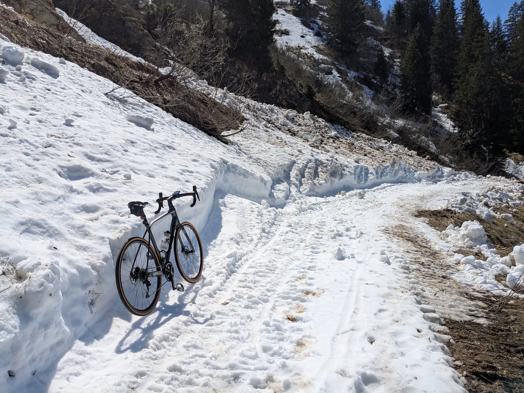
It gets closed during winter! No traffic as the road doesn't continue beyond the col. Easy to join with other climbs nearby (Sonchaux, col de Jaman, Pléiades).
Wonderful climb. It has a lovely tarmac up until Sonchaux turn off and then becomes narrower but reasonable. Lots of tree cover on the way up to avoid the hot sun. There is no where to fill bottles on the way up or top.
Amazing visuals, especially given it is so close to Montreux
An extremely difficult climb, especially if you do it in the summer!!! a miraculous flat spot a few kilometres from the summit, allowing you to relax a little on your back !!!!
Montée excessivement difficile surtout si vous la faite l été !!! un replat miraculeux a quelques kms du sommet permettant de se detendre un peu au niveau des dorsaux !!!!
| 5 mph | 01:40:31 |
| 7 mph | 01:11:09 |
| 9 mph | 00:55:27 |
| 12 mph | 00:41:40 |
This page is better in the app