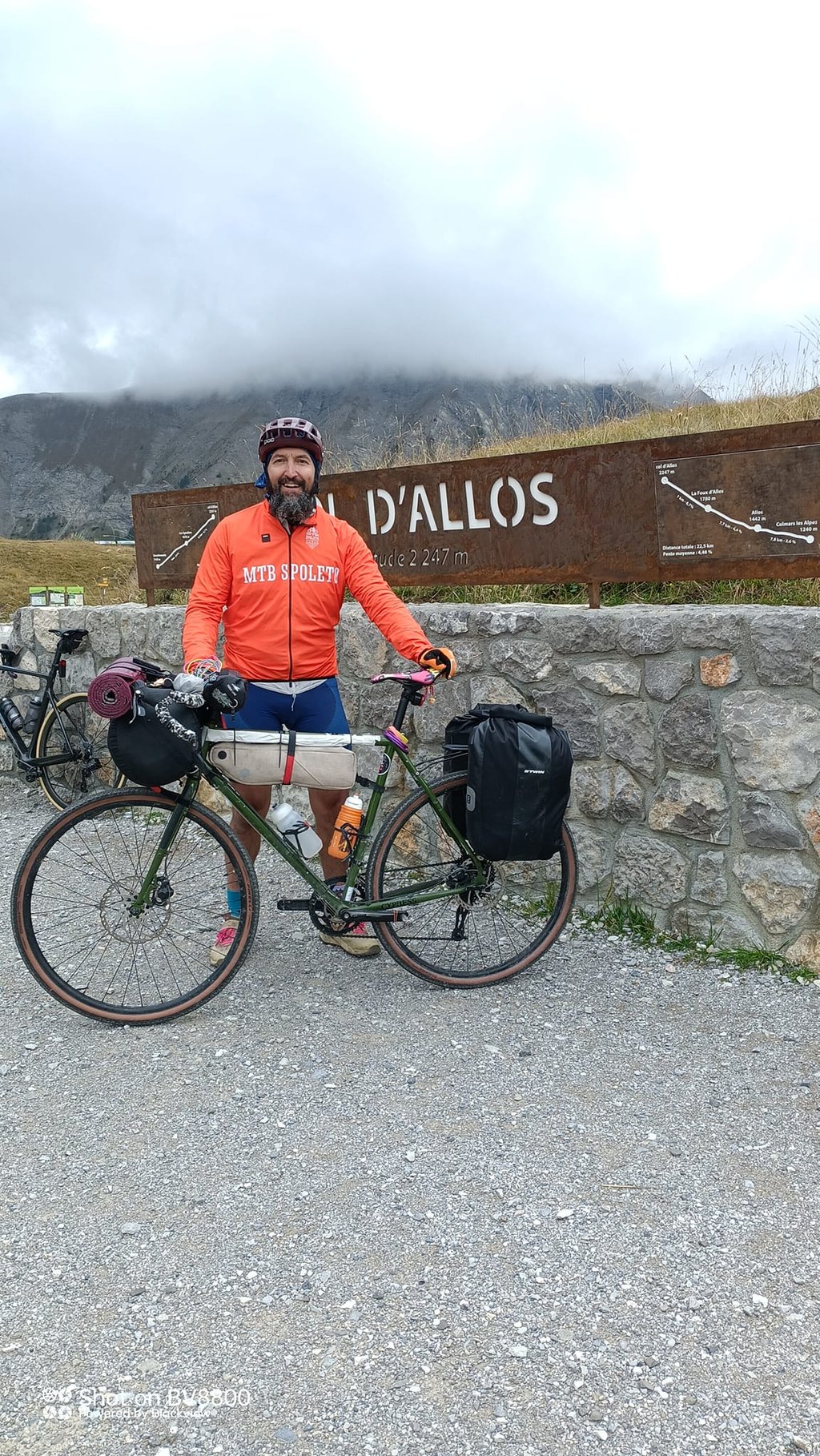
Col d'Allos from Colmars is a climb in the region Serre Ponçon. It is 13.9 mi long and bridges 3284 ft of vertical ascent with an average gradient of 4.5%, resulting in a difficulty score of 559. The top of the ascent is located at 7359 ft above sea level. Climbfinder users shared 9 reviews of this climb and uploaded 11 photos.
Road name: D908
by Ruud Rakké
This is an automatic translation, the original language is: Dutch.
This summer (2016) from Colmars started the climb. At the moment the road surface is being replaced in several places. This gave some delay. The first ten kilometres the road goes up steadily to a maximum of 4%. Nice paddling.
Once arrived in the winter sports resort Allos the road becomes much narrower and leads through beautiful hairpin bends to the top.
Not a difficult climb, regular gradient but moderate quality of road surface. Descending brought extra concentration and I had to limit my sp...read more
Photos (11)
Welcome! Please activate your account if you would like to share something. Look for the verification email in your inbox.
This is an automatic translation, the original language is: Dutch.
Show original
A long climb, which is not too steep. Sections that are lovely to walk. By the way, it is not the most photogenic climb, but you do get to 2200 metres altitude nicely.
Een lange beklimming, die niet al te steil is. Stukken die heerlijk lopen. Het is overigens niet de meest fotogenieke beklimming, maar je komt wel mooi op 2200 meter hoogte.
This is an automatic translation, the original language is: Italian.
Show original
made the pass, although it was closed due to construction work. cycle route september 2024 back to italy. road closed, therefore, 4-5 hours in complete solitude, with the d'allos all to myself. only a colleague on the pass to exchange the customary photo
fatto il colle, nonostante chiuso per lavori. cicloviaggio settembre 2024 di rientro in Italia. strada chiusa, quindi, 4-5 ore in completa solitudine, col d'allos tutto per me. solo un collega sul valico a scambiarci la foto di rito
This is an automatic translation, the original language is: Dutch.
Show original
Climbed 4 October 2023. Seems to be the easiest col above 2000m. I found it quite doable. Beautiful day little traffic, and still works to improve the asphalt. Is also part of the famous 'route des 3 cols'. I enjoyed it, scenic views (marmots along the way). Ridden in short/short on 4 October what a delight!
Beklommen 4 oktober 2023. Schijnt de eenvoudigste col te zijn boven de 2000 meter. Ik vond hem goed te doen. Prachtige dag weinig verkeer, en nog steeds werkzaamheden om het asfalt te verbeteren. Is ook onderdeel van de bekende 'route des 3 cols'. Ik heb genoten, omgeving vergezichten (marmotten langs de weg). Op 4 oktober in kort/kort gereden wat een genot!
Rented a decent Scott road bike in La Foux d'Allos (Chez Marcel, Skiset) for €35 and did the Col d'Allos from both sides. The Barcelonette side is way more beautiful, you're climbing over a narrower road and have nice views. This Colmars side is relatively boring from Colmars to Allos and La Foux, where you're riding on a relatively wide road. It gets way more interesting, more beautiful (views, hairpins) ánd steeper after La Foux.
This is an automatic translation, the original language is: Dutch.
Show original
In August 2018 the especially formerly popular Tour climb Col d'Allos cycled on.
Long gradual approach on wide at times busy road without many sharp turns following the flank of the Verdon river valley.
From the typically modern and summer quiet ski resort La Foux d'Allos, the road becomes narrower and winds against a fairly regular 7% via 11 hairpin bends above the tree line.
In contrast to the beautiful natural North route from Barcelonnette, here there are mountain slopes with ski lifts and cable cars.
Pass height, already visible from below in the ski center, is parking with 360° panorama.
Sporadic bicycle information signs.
Col d'Allos climb has 2 faces that are more than worth the "cycling effort".
In Augustus 2018 de vooral vroeger populaire Tour beklimming Col d'Allos op gefietst.
Lange geleidelijke aanloop op brede bij momenten drukke weg zonder veel scherpe bochten de flank van de Verdon rivier vallei volgend.
Vanaf het typisch modern en zomers rustige skicentrum La Foux d'Allos wordt de weg smaller en kronkelt tegen een vrij regelmatig 7% via 11 haarspeldbochten boven de boomgrens uit .
In tegenstelling tot de mooie natuurlijke Noord route vanuit Barcelonnette, hier berghellingen met skiliften en kabelconstructies.
Pashoogte, reeds van beneden in het skicentrum te zien, is parking met 360° panorama.
Sporadisch zijn er fietsinfobordjes .
Col d'Allos klim heeft 2 gezichten die de "fietsmoeite" meer dan waard zijn.
This is an automatic translation, the original language is: Dutch.
Show original
This summer (2016) from Colmars started the climb. At the moment the road surface is being replaced in several places. This gave some delay. The first ten kilometres the road goes up steadily to a maximum of 4%. Nice paddling. Once arrived in the winter sports resort Allos the road becomes much narrower and leads through beautiful hairpin bends to the top. Not a difficult climb, regular gradient but moderate quality of road surface. Descending brought extra concentration and I had to limit my speed. Nice view over the valley of the Allos and the various sources of the Verdon.
Deze zomer (2016) vanuit Colmars de beklimming begonnen. Op dit moment wordt op diverse plaatsen het wegdek vervangen. Dit gaf enig oponthoud. De eerste tien kilometer loopt de weg tot maximaal 4% gestaag omhoog. Lekker doorpeddelen. Eenmaal aangekomen in het wintersportoord Allos loopt de dan veel smallere weg via mooie haarspeldbochten naar de top. Geen moeilijke klim, regelmatig stijgingspercentage maar wel een matige kwaliteit van het wegdek. Afdalen bracht extra concentratie met zich mee en snelheid moest ik beperken. Mooi uitzicht over de vallei van de Allos en de diverse ontspringingen van de Verdon.
This is an automatic translation, the original language is: Dutch.
Show original
I find this climb a bit disappointing, coming from Barcelonnette, it is a fairly boring climb, with some nice views, the road surface is not really nice to descend hard (direction Barcelonnette).
Ik vind deze klim wat tegenvallen, komend van Barcelonnette, het is een vrij saaie klim, met op een enkel stuk een mooi vergezicht het wegdek is niet echt fijn om hard af te dalen.( richting Barcelonnette )
This is an automatic translation, the original language is: Dutch.
Show original
First 10 to 11km pretty easy, some parts false flat, last 10km the real work, beautiful road, good asphalt (so good to descend) beautiful curves, from afar to see the top. Beautiful surroundings (like the entire Mercantour). From the top in 25 min back in Cahors on the campsite. a must
Eerste 10 á 11km vrij makkelijk, sommige stukken vals plat, laatste 10km het echte werk, mooie weg, goed asfalt (dus goed om te dalen) mooie slingers, van ver al de top te zien. Mooie omgeving (zoals de hele Mercantour) Vanaf de top in 25 min weer in Cahors op de camping. een aanrader
This is an automatic translation, the original language is: Dutch.
Show original
This climb is one of the best. Regular, very doable. Ridden with randonneur and 20 kg luggage. It's great to overtake people on mountain bikes. The descent is one of the best I've ever ridden. Absolute recommendation to get the hang of climbing.
Deze klim is er 1 uit het boekje. Regelmatig, zeer goed te doen. Gereden met randonneur en 20 kilo bagage. Kicken om dan mensen in te halen op mountainbikes. De afdaling is een van de mooiste die ik ooit gereden heb. Absolute aanrader om klimmen onder de knie te krijgen.
You don't need special gearing for Col d'Allos from Colmars. The slope isn't long or steep enough to require much shifting down. You can conquer this climb on power alone. However, a compact gearing system with a smallest front chainring of 34 and largest rear sprocket of 28 or 30 is always nice if you enjoy cycling uphill. This helps maintain a smooth cadence.
Col d'Allos from Colmars is a serious climb and falls into the 2nd category. With a good basic fitness level, even without much cycling experience, you can complete this climb just fine. However, a bike with climbing gears is a must. Without experience or training, it will be really tough – but that’s part of the challenge!
Col d'Allos from Colmars is 13.9 mi long.
The average gradient of Col d'Allos from Colmars is 4.5%.
Col d'Allos from Colmars has a steepest segment with an average gradient of 7.8%.
The summit of Col d'Allos from Colmars is at 7359 ft.
At a slow pace of 5 mph, it takes about 02:47:10 to climb Col d'Allos from Colmars. At 7 mph the time is 01:58:21, and at 9 mph 01:32:14. For the fastest cyclists, 01:09:17 is an achievable time.