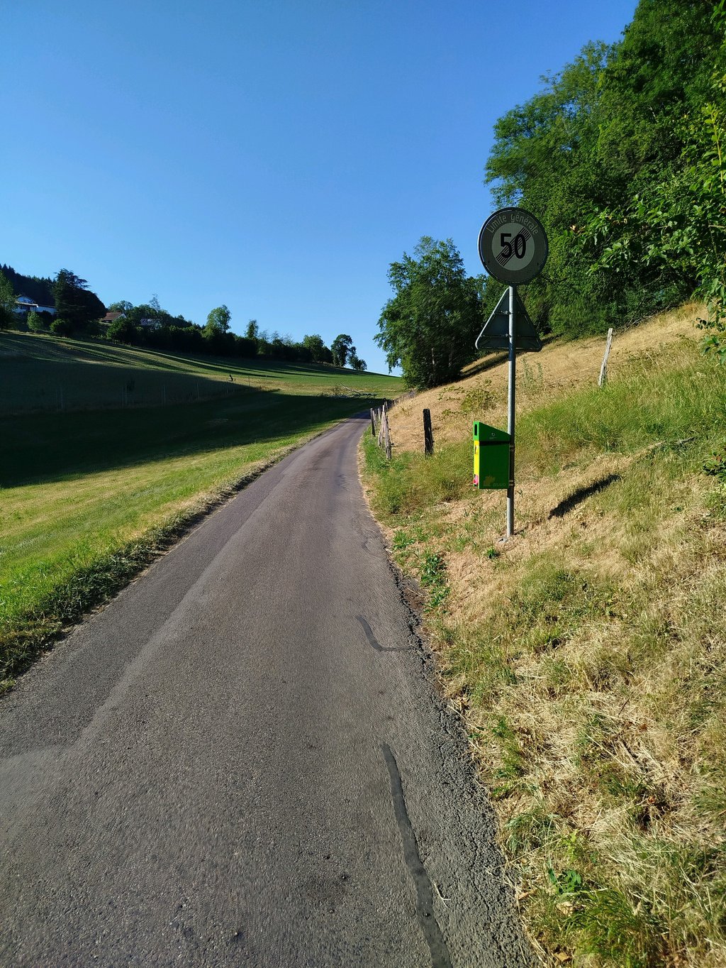
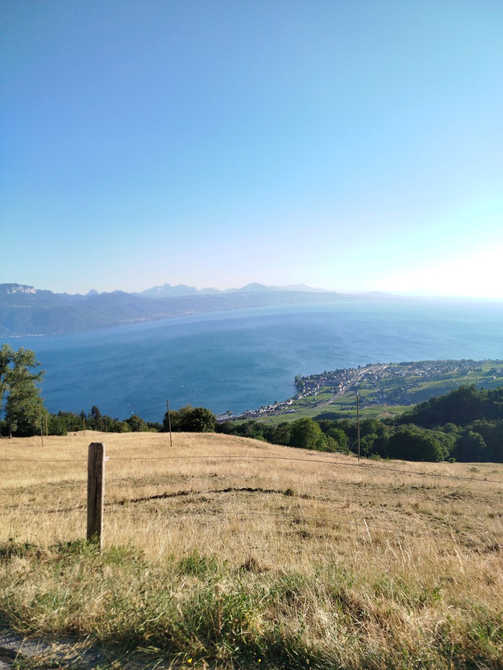
Chemin du Montchervet from Puidoux is a climb in the region Vaud. It is 1.8 mi long and bridges 610 ft of vertical ascent with an average gradient of 6.5%, resulting in a difficulty score of 182. The top of the ascent is located at 2703 ft above sea level. Climbfinder users shared 1 review/story of this climb and uploaded 3 photos.
Road names: Chemin de la Daucrettaz & Chemin du Montchervet
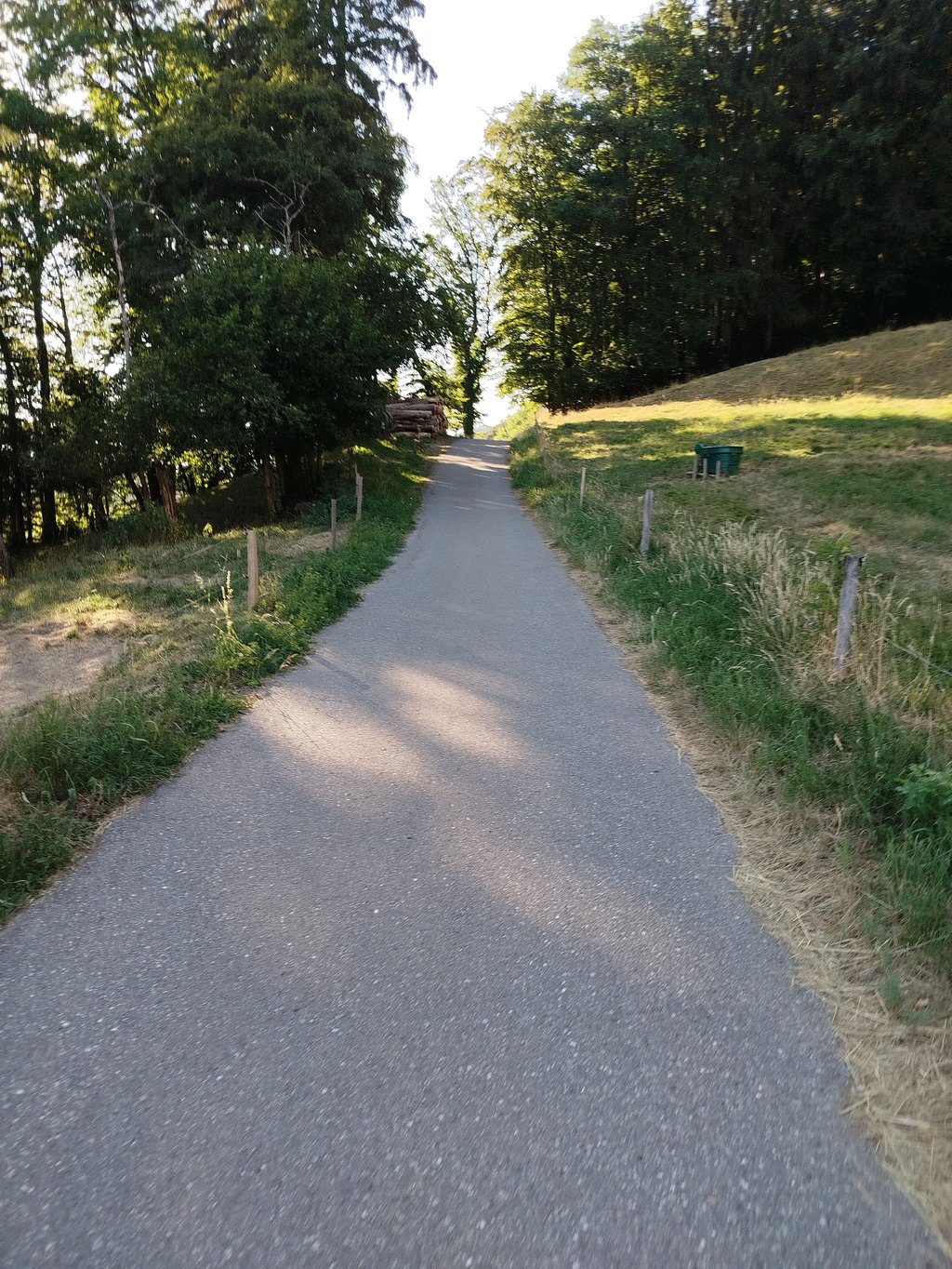
4.0 by ebnchThis is an automatic translation, the original language is: French.A climb through fields and forest. Little-travelled road. You can continue up to the Gourze tower or descend to Pigeon, Lavaux or Lutry.... read more
Welcome! Please activate your account if you would like to share something. Look for the verification email in your inbox.
If you want to upload your photos, you need to create an account. It only takes 1 minute and it's completely free.
A climb through fields and forest. Little-travelled road. You can continue up to the Gourze tower or descend to Pigeon, Lavaux or Lutry.
Montée au milieu des champs et de la forêt. Route peu fréquentée. Possibilité de continuer l'ascension jusqu'à la tour de Gourze ou bien de redescendre sur le Pigeon, le Lavaux ou Lutry
| 5 mph | 00:21:33 |
| 7 mph | 00:15:15 |
| 9 mph | 00:11:53 |
| 12 mph | 00:08:56 |
This page is better in the app