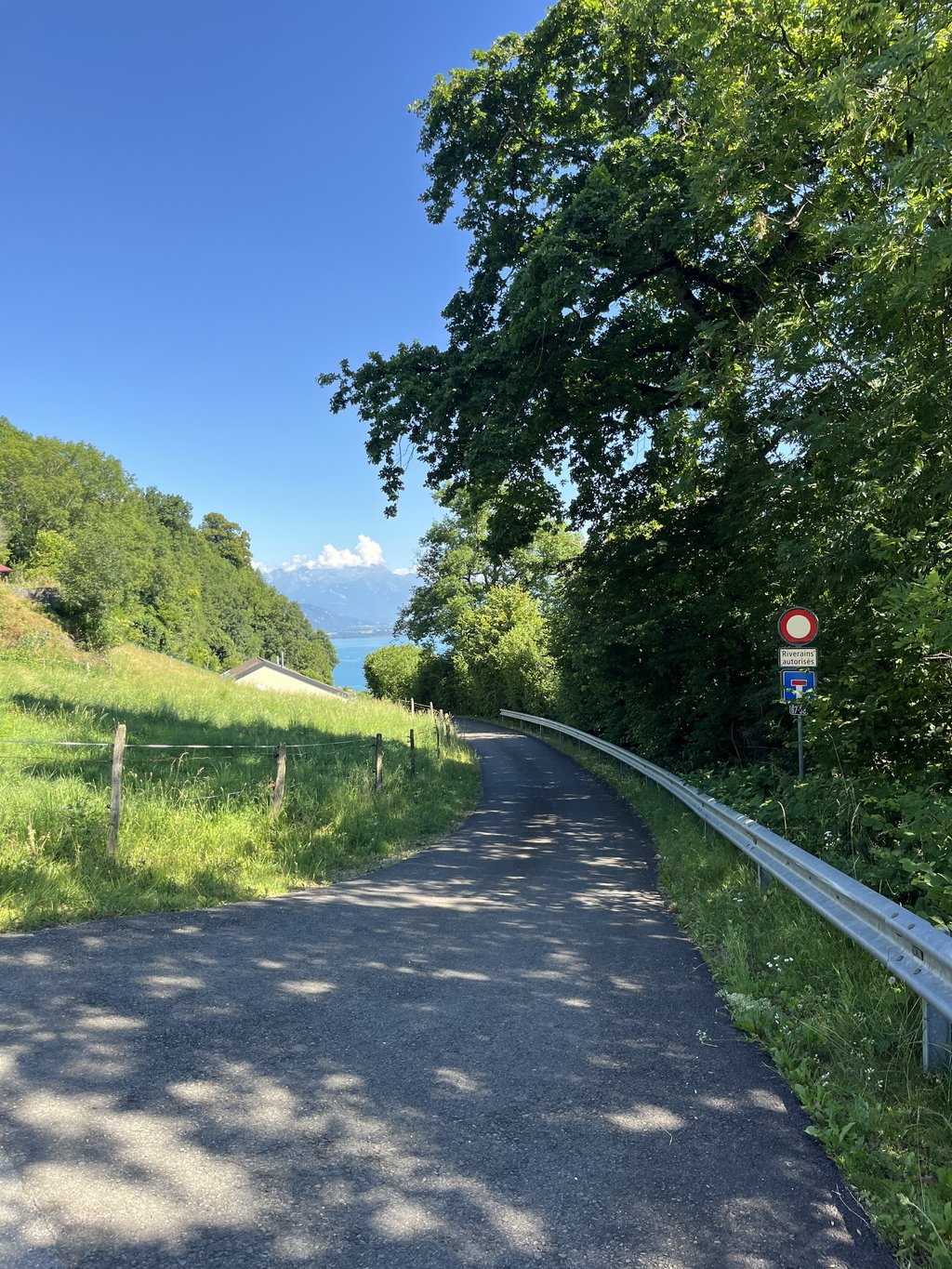
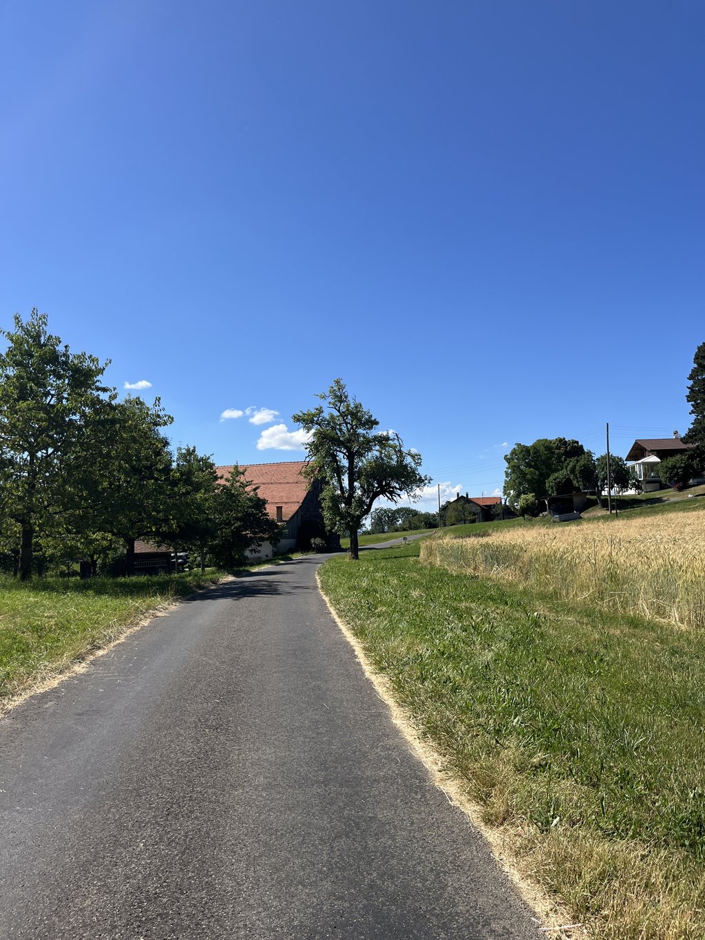
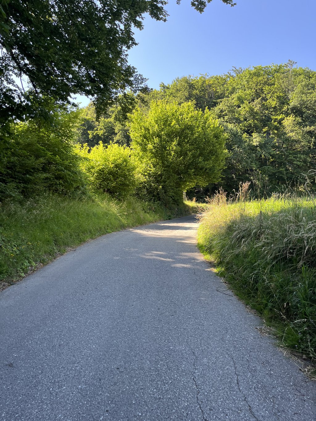
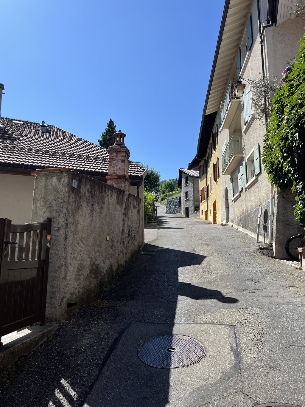
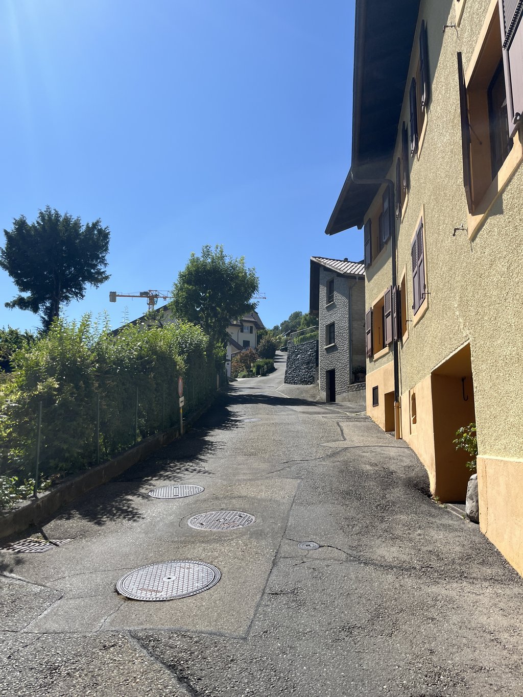
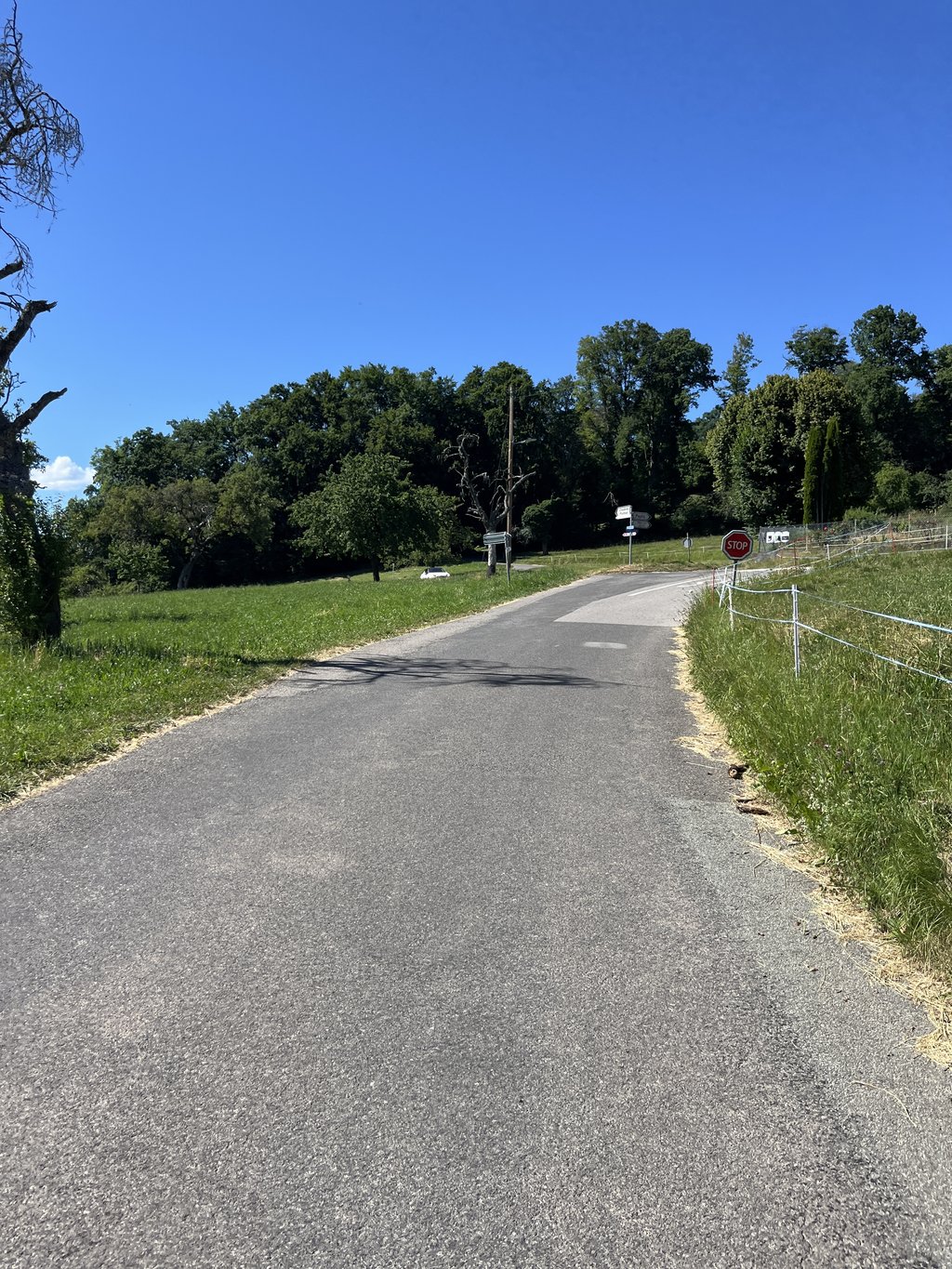
Chemin du Bois-de-Ruz is a climb in the region Vaud. It is 1 mi long and bridges 604 ft of vertical ascent with an average gradient of 11%, resulting in a difficulty score of 252. The top of the ascent is located at 2697 ft above sea level. Climbfinder users shared 1 review/story of this climb and uploaded 6 photos.
Road names: Chemin de la Pérose & Chemin du Bois-de-Ruz
5.0 by TimvanDorstThis is an automatic translation, the original language is: Dutch.Tja....I got to the top, but that's all. Only do this if you can climb really well, are equipped with a climbing gear and if you are not a heart patient. There really is no end to it. Even navigating is difficult here. Good luck!... read more
Welcome! Please activate your account if you would like to share something. Look for the verification email in your inbox.
If you want to upload your photos, you need to create an account. It only takes 1 minute and it's completely free.
Tja....I got to the top, but that's all. Only do this if you can climb really well, are equipped with a climbing gear and if you are not a heart patient. There really is no end to it. Even navigating is difficult here. Good luck!
Tja....ik ben bovengekomen, maar daar is alles mee gezegd. Doe dit alleen als je echt goed kan klimmen, bent voorzien van een klimverzet en als je geen hart patient bent. Er komt echt geen einde aan. Zelfs laveren is hier lastig. Heel veel sterkte!
| 5 mph | 00:12:31 |
| 7 mph | 00:08:51 |
| 9 mph | 00:06:54 |
| 12 mph | 00:05:11 |
This page is better in the app