View on map
© MapLibre | OpenStreetMap contributors
1%
2%
4%
6%
8%
10%
12%
15%
20%

Chemin des Riffroids

3.0
1 review/story | Elevation profile | 4 photos
Tips nearby
Chemin des Riffroids
transparant thumb
transparant thumb
transparant thumb
transparant thumb
Your achievable time
Calculating based on your best performances...
Relaxed
Maximum
W/kg
W/kg
W/kg
Analyze your climbing performance
Detailed insight into your climbing performance & automatically check off climbs
Based on your best performances.
Your best attempt:
Number of attempts:
Elevation profile Chemin des Riffroids

Statistics

Difficulty points 112
Length 0.2 mi
Average gradient 16.9%
Steepest segment 22.2%
Total ascent 213 ft

Short recap

#22 average steepest climb of France
Feedback about this climb?
Show climbs nearby Export to GPS device

Chemin des Riffroids is a climb in the region Annecy. It is 0.2 mi long and bridges 213 ft of vertical ascent with an average gradient of 16.9%, resulting in a difficulty score of 112. The top of the ascent is located at 3609 ft above sea level. Climbfinder users shared 1 review/story of this climb and uploaded 4 photos.

Road name: Chemin des Riffroids

3.0 by Cromagnon
This is an automatic translation, the original language is: French.
A very short climb done at night after the gentle ascent of the Col des Aravis (I waited for the last rays of sunlight on Mont Blanc). To say the least, the gradients are significantly steeper than on the Aravis… The road sign says only 16%, but I’m more inclined to believe Climbfinder’s detailed profile: 23% over a few meters? Yes! It’s quite a challenge. We start in front of the ice rink. A street in perfect condition, lined with chalets and hotels. At the top, a view of La Cluzaz. A ... read more

Photos (4)

Chemin des Riffroids
transparant thumb
transparant thumb

Your uploads (max 4)

Welcome! Please activate your account if you would like to share something. Look for the verification email in your inbox.

If you want to upload your photos, you need to create an account. It only takes 1 minute and it's completely free.

  • Receive free climbfinder goodies for your reviews & photos
  • Create a bucket list and check off conquered climbs
  • Add missing climbs
Continue with GoogleContinue with Google Continue with FacebookContinue with Facebook Continue with AppleContinue with Apple Sign up with email
By signing up you agree to our terms of service and confirm that you have read our privacy & content policy.

Reviews (1)

5.0
4.0
3.0
2.0
1.0
Cromagnon
5 d 3.0 via the Climbfinder app
This is an automatic translation, the original language is: French. Show original

A very short climb done at night after the gentle ascent of the Col des Aravis (I waited for the last rays of sunlight on Mont Blanc).
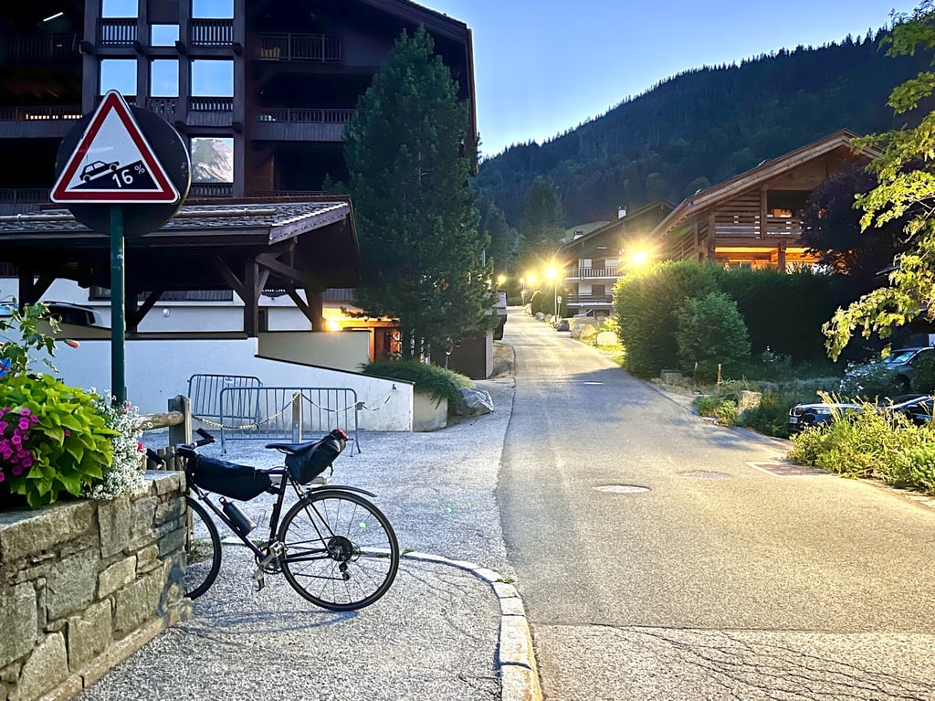
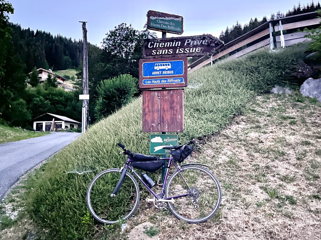
To say the least, the gradients are significantly steeper than on the Aravis… The road sign says only 16%, but I’m more inclined to believe Climbfinder’s detailed profile: 23% over a few meters? Yes! It’s quite a challenge. We start in front of the ice rink.
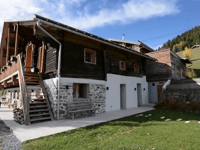
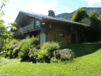
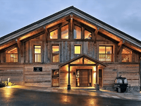
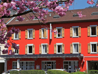
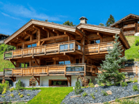
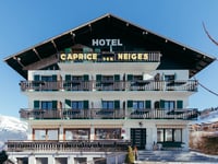
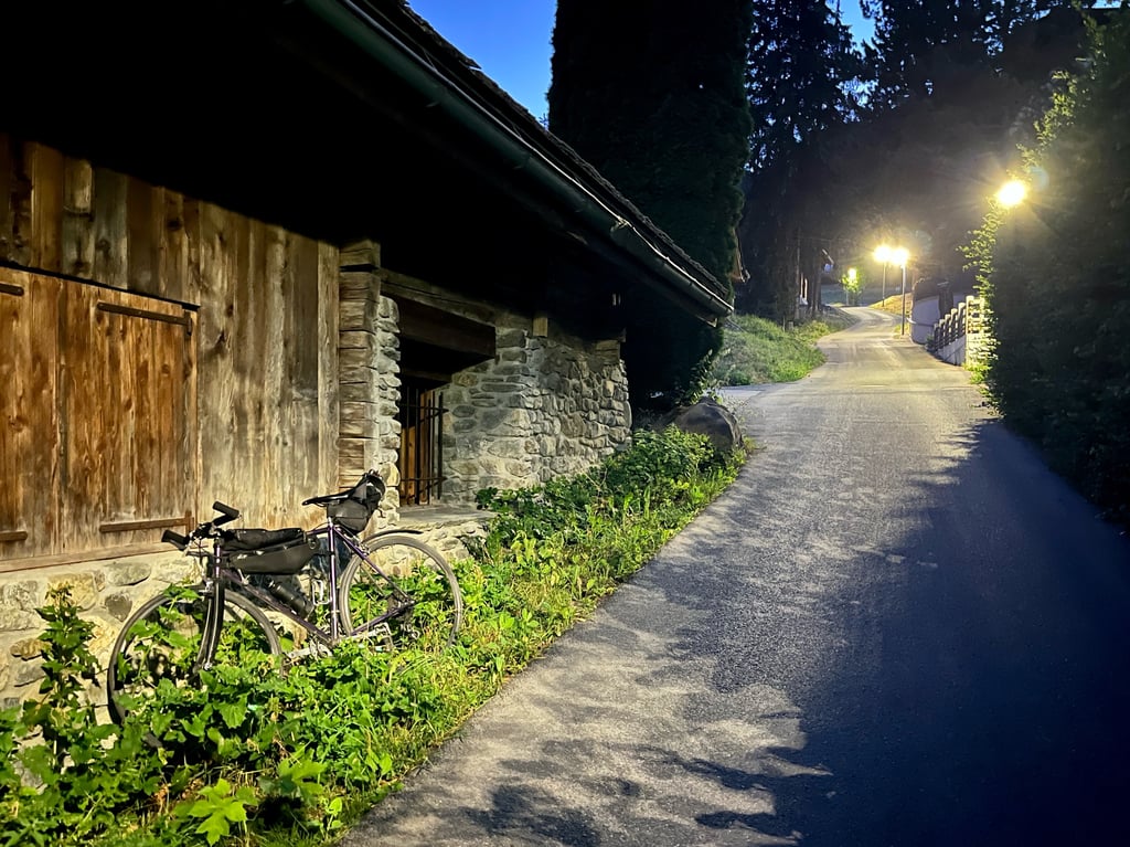
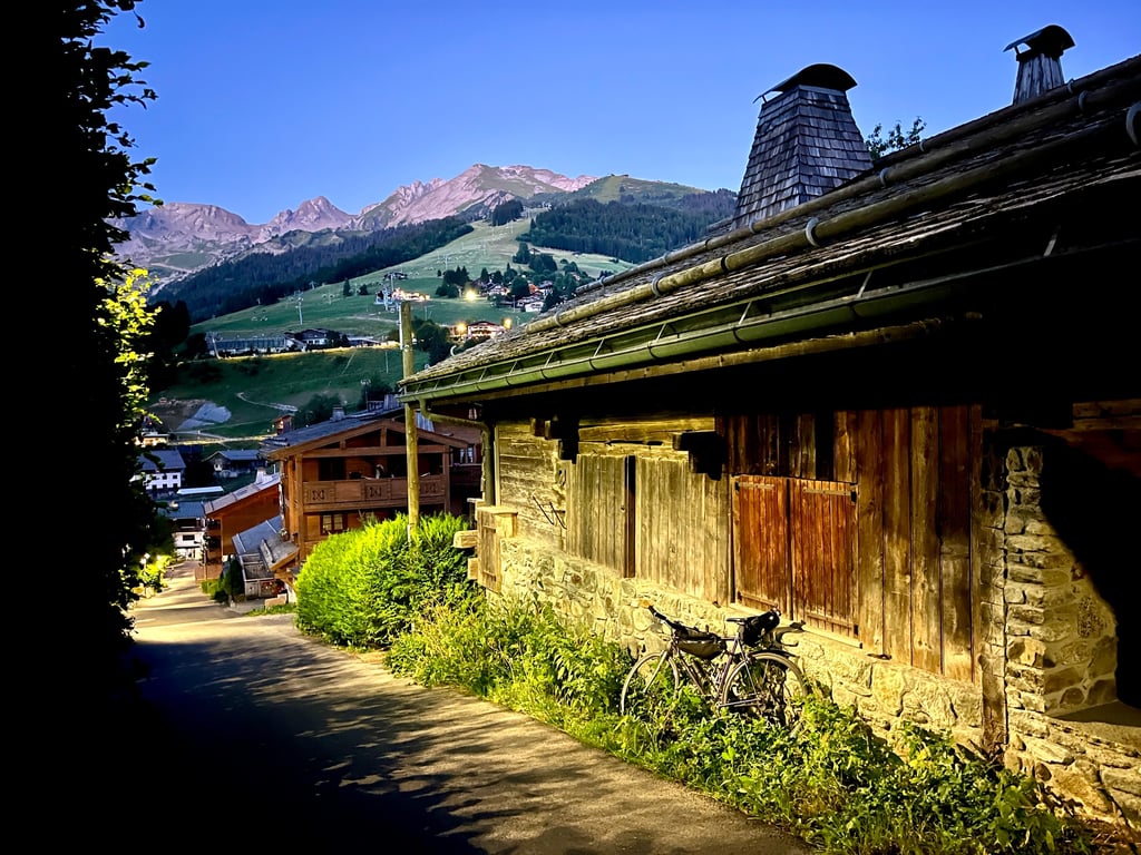
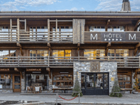
A street in perfect condition, lined with chalets and hotels. At the top, a view of La Cluzaz.
A short, steep climb—like a strong espresso: short, but it wakes you up with a jolt!

Très courte montée effectuée de nuit après la douce ascension du col des Aravis (j’ai attendu les derniers rayons de soleil sur le Mont Blanc).
Le moins que l’on puisse dire, c’est que les pourcentages piquent nettement plus que sur les Aravis…Le panneau de la voirie n’annonce que 16%, mais je crois davantage le profil détaillé de Climbfinder : 23% sur quelques mètres ? Oui ! C’est bien épicé. On démarre devant la patinoire.
Une rue en parfait état, bordée de chalets et d’hôtels. En haut, vue sur La Cluzaz.
Une petite rampe, version expresso serré : petite, mais qui te réveille violemment !

Chemin des Riffroids
Dashboard

Climbing times

5 mph 00:02:53
7 mph 00:02:02
9 mph 00:01:35
12 mph 00:01:11

Road surface condition

100% 0% 0%
Based on 1 vote
Share your knowledge. What was the road condition during your ascent?

Traffic

100% 0% 0%
Based on 1 vote
Your experience counts. How much traffic did you encounter during the climb?

Frequently Asked Questions

You don't need special gearing for Chemin des Riffroids. The slope isn't long or steep enough to require much shifting down. You can conquer this climb on power alone. However, a compact gearing system with a smallest front chainring of 34 and largest rear sprocket of 28 or 30 is always nice if you enjoy cycling uphill. This helps maintain a smooth cadence.

Chemin des Riffroids is a 4th-category climb. A sprint to the top is usually not an option, and untrained riders will definitely feel it in their legs. For trained cyclists, it is a great training climb.

Chemin des Riffroids is 0.2 mi long.

The average gradient of Chemin des Riffroids is 16.9%.

Chemin des Riffroids has a steepest segment with an average gradient of 22.2%.

The summit of Chemin des Riffroids is at 3609 ft.

At a slow pace of 5 mph, it takes about 00:02:53 to climb Chemin des Riffroids. At 7 mph the time is 00:02:02, and at 9 mph 00:01:35. For the fastest cyclists, 00:01:11 is an achievable time.

Chemin des Riffroids is located in the region Haute Savoie in France.

This page is better in the app
Climbfinder app
Climbfinder
(Free)
Open