View on map
© MapLibre | OpenStreetMap contributors
1%
2%
4%
6%
8%
10%
12%
15%
20%

Chemin de Graat

2.5
2 reviews | Elevation profile | 4 photos
Tips nearby
Chemin de Graat
Chemin de Graat
Chemin de Graat
Chemin de Graat
transparant thumb
transparant thumb
transparant thumb
transparant thumb
Your achievable time
Calculating based on your best performances...
Relaxed
Maximum
W/kg
W/kg
W/kg
Analyze your climbing performance
Detailed insight into your climbing performance & automatically check off climbs
Based on your best performances.
Your best attempt:
Number of attempts:
Elevation profile Chemin de Graat

Statistics

Difficulty points 6
Length 0.1 mi
Average gradient 5.1%
Steepest segment 7.9%
Total ascent 36 ft
Feedback about this climb?
Show climbs nearby Export to GPS device

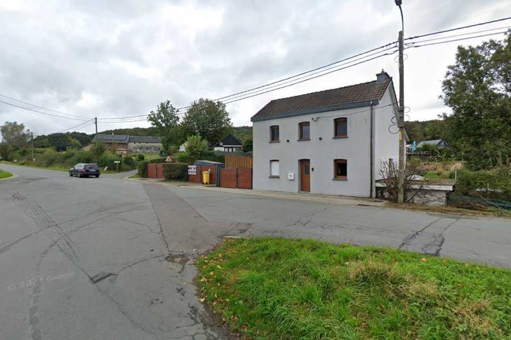
Chemin de Graat is a climb in the region Pays de Herve. It is 0.1 mi long and bridges 36 ft of vertical ascent with an average gradient of 5.1%, resulting in a difficulty score of 6. The top of the ascent is located at 614 ft above sea level. Climbfinder users shared 2 reviews of this climb and uploaded 4 photos.

Road name: Chemin de Graat

2.0 by Fedor
This is an automatic translation, the original language is: Dutch.
Nice because of the beautiful scenery, but not really worth mentioning as a climb because you get to the top in no time. Definitely not a detour.... read more

Photos (4)

Chemin de Graat
Chemin de Graat
Chemin de Graat
Chemin de Graat
transparant thumb
transparant thumb

Your uploads (max 4)

Welcome! Please activate your account if you would like to share something. Look for the verification email in your inbox.

If you want to upload your photos, you need to create an account. It only takes 1 minute and it's completely free.

  • Receive free climbfinder goodies for your reviews & photos.
  • Create a bucket list and check off conquered climbs.
  • Add missing climbs.
Continue with GoogleContinue with Google Continue with FacebookContinue with Facebook Continue with AppleContinue with Apple Sign up with email
By signing up you agree to our terms of service and confirm that you have read our privacy & content policy.

Reviews (2)

5.0
4.0
3.0
2.0
1.0
Fedor
1 y 2.0
This is an automatic translation, the original language is: Dutch. Show original

Nice because of the beautiful scenery, but not really worth mentioning as a climb because you get to the top in no time. Definitely not a detour.

Leuk vanwege de mooie omgeving maar als klim eigenlijk niet echt noemenswaardig want je bent echt zo boven. Zeker niet voor omrijden dus.

Dashboard
BikerJohan
1 y 3.0
This is an automatic translation, the original language is: Dutch. Show original

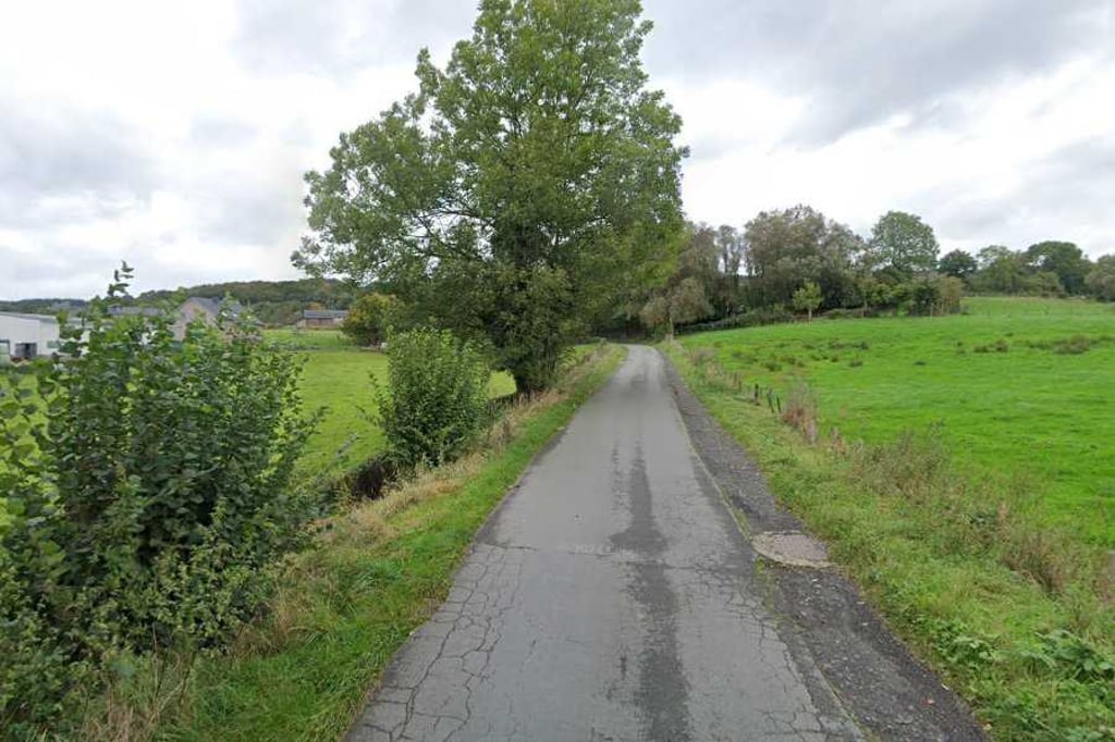
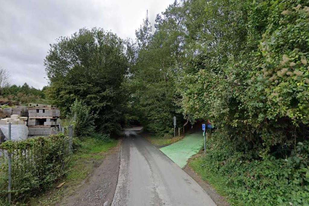
Short and not too difficult climb from the Weschbach valley. From Völkerich you descend Chemin de Graet or and ride under Ravel 39. You can also get onto Chemin de Graet from Ravel 39. At the point where the stream flows under the road, the climb begins. At the end at the top, you can turn right to Gemmenich via the climb of Rue de Grünebempt. Turning left, you go to Sippenaeken via the climb of Rue de Terstraeten.

Kort en niet te moeilijk klimmetje vanuit het dal van de Weschbach. Vanuit Völkerich daal je Chemin de Graet of en rij je onder Ravel 39 door. Ook vanaf Ravel 39 kan je op Chemin de Graet komen. Op het punt waar de beek onder de weg doorstroomt begint het klimmetje. Aan het einde op de top kan je rechtsaf naar Gemmenich via de klim van Rue de Grünebempt. Linksaf ga je via de klim van Rue de Terstraeten naar Sippenaeken.

Dashboard

Climbing times

5 mph 00:01:41
7 mph 00:01:11
9 mph 00:00:55
12 mph 00:00:41

Road surface condition

0% 0% 0%
Based on 0 votes
Share your knowledge. What was the road condition during your ascent?

Traffic

0% 0% 0%
Based on 0 votes
Your experience counts. How much traffic did you encounter during the climb?

Frequently Asked Questions

You don't need special gearing for Chemin de Graat. The slope isn't long or steep enough to require much shifting down. You can conquer this climb on power alone. However, a compact gearing system with a smallest front chainring of 34 and largest rear sprocket of 28 or 30 is always nice if you enjoy cycling uphill. This helps maintain a smooth cadence.

Chemin de Graat is not tough enough to be assigned a mountain category. This means that even untrained cyclists can reach the top without any problems on this climb.

Chemin de Graat is 0.1 mi long.

The average gradient of Chemin de Graat is 5.1%.

Chemin de Graat has a steepest segment with an average gradient of 7.9%.

The summit of Chemin de Graat is at 614 ft.

At a slow pace of 5 mph, it takes about 00:01:41 to climb Chemin de Graat. At 7 mph the time is 00:01:11, and at 9 mph 00:00:55. For the fastest cyclists, 00:00:41 is an achievable time.

Chemin de Graat is located in the region Liège Province in Belgium.

This page is better in the app

Climbfinder app
Climbfinder
(Free)
Open