| 9 hairpin turns |
| #35 toughest climb of France |
| #41 most elevation gain of France |
| #81 longest climb of Auvergne-Rhône-Alpes |
Chalet de Charmant Som from Grenoble is a climb in the region Grenoble. It is 12.6 mi long and bridges 4708 ft of vertical ascent with an average gradient of 7.1%, resulting in a difficulty score of 1202. The top of the ascent is located at 5482 ft above sea level. Climbfinder users shared 6 reviews of this climb and uploaded 6 photos.
Road names: Route de la Chartreuse, Route du Col de Porte, Route du Charmant Som & Route du Charmant Som
This is an automatic translation, the original language is: French.At the Porte Pass, in front of the bar-restaurant, there is a rotating handle fountain, which was in use a fortnight ago when I passed. With the current drought this may not be the case, but there is still the possibility of refuelling at the bar itself.... read more
Welcome! Please activate your account if you would like to share something. Look for the verification email in your inbox.
If you want to upload your photos, you need to create an account. It only takes 1 minute and it's completely free.
Nice gradients. Road surface rather poor some sections.
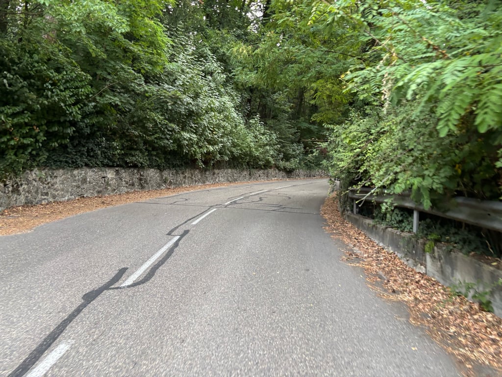
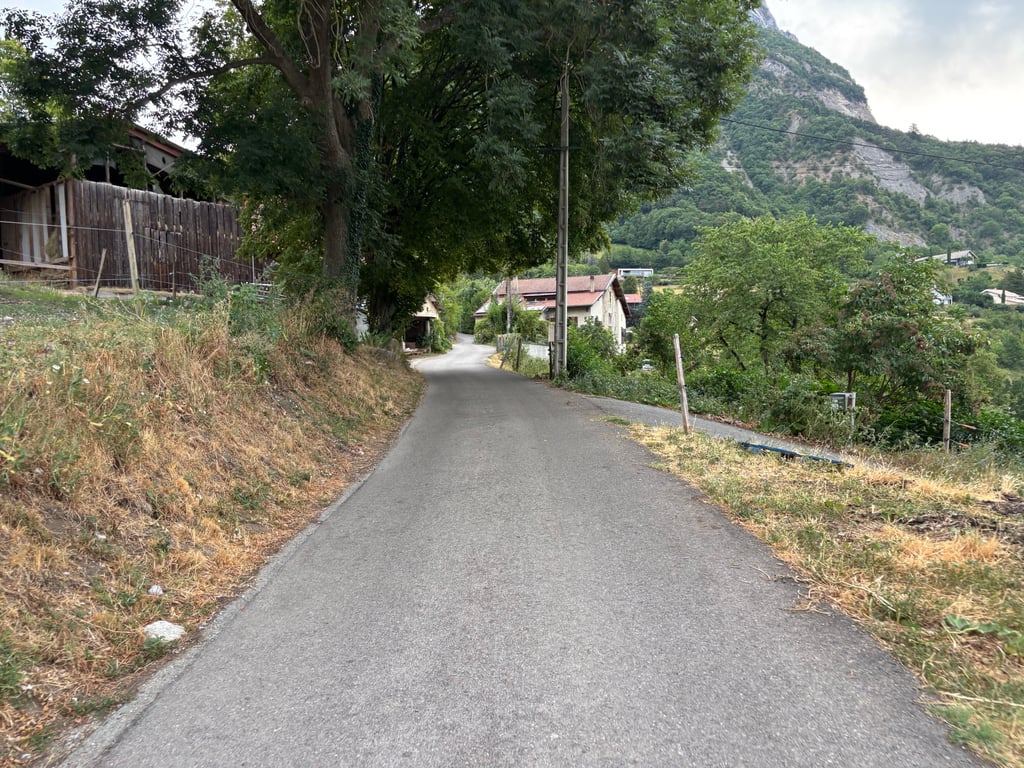
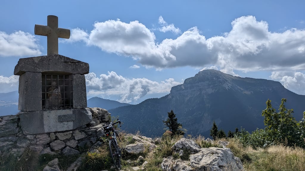
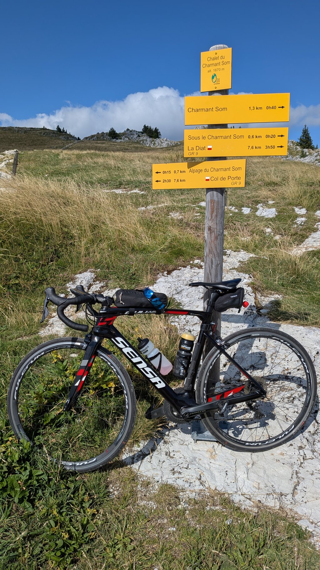
This isn't the route I recommend for getting to the Col de Porte, but no matter which route you take, the stretch leading up toCharmant Som is probably the most demanding climb from Grenoble, in terms of both distance and elevation gain, with steeper gradients than the climb to Chamrousse. The final stretch toward the Auberge du Charmant Som leads to one of the most beautiful spots in the massif. But to get there, you have to conquer some very tough sections with legs that are usually already pretty worn out. The reward awaits at the top.
Ce n'est pas la variante que je recommande pour aller jusqu'au Col de Porte, mais quelque soit le parcours, l'enchaînement jusqu'au Charmant Som en fait probablement la montée la plus exigeante depuis Grenoble, en distance et en élévation, avec des pourcentages plus élevés que la montée de Chamrousse. Le final vers l'auberge du Charmant Som permet d'accéder à l'un des plus beaux spots du massif. Mais pour cela il faut parvenir à vaincre des passages très sévères avec des jambes en général bien entamées. La récompense est en haut.
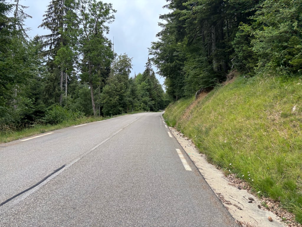
The Col de Porte is a fine climb in itself, with the highest percentages on the traverse from Corenc to the Col de Vence. After that, a final effort is required on a 5km road (potentially busy on fine summer days) to the Chalet du Charmant Som and its alpine pasture, which is in good condition but quite steep. Beautiful scenery at the top.
I've always found water at the Col de Porte, at the fountain at the end of the pass (on the right after the Domaine de Rozan).
Le col de Porte est déjà en soi une belle ascension, avec les plus forts pourcentage dans la traversée de Corenc jusqu'au col de Vence. Après ça il faut fournir un dernier effort en empruntant une route de 5km (potentiellement passante les beaux jours d'été) jusqu'au chalet du Charmant Som et son alpage, en bon état mais assez raide. Très beaux paysages une fois en haut.
J'ai toujours trouvé de l'eau au col de Porte, à la fontaine à l'arrivée au col (à droite après le domaine de Rozan)
Tough climb! It cost me more effort than anticipated. In the first kilometres (if you ride it according to this site, via Chantemerle), you get a stretch of over 20% (my Wahoo even gave 23.8%!).
At the foot of the climb, in Grenoble, fill your water bottles at 1 of the many public water taps (see photo). These are connected to the drinking water supply, so suitable for consumption.
The road surface in the last 5km is not great. Especially downhill, you notice that it does not bolt well, so gentle descents are advisable.
Stevige klim! Hij kostte me meer moeite dan vooraf gedacht. In de eerste kilometers (als je m rijdt conform deze site, via Chantemerle), dan krijg je een stuk van dik 20% voor de kiezen (mijn Wahoo gaf zelfs 23,8%!).
Vul aan de voet van de klim, in Grenoble, je bidons bij 1 van de vele openbare watertappunten (zie foto). Deze zijn aangesloten op de drinkwaterleiding, dus geschikt voor consumptie.
Het wegdek in de laatste 5km is niet geweldig. Met name berg af merk je dat het niet goed bolt, waardoor rustig dalen raadzaam is.
A long and more difficult climb than it seems, with steep sections, especially towards the end (when you are tired...).
Beautiful landscapes at the arrival on the plateau. I'm sure you'll be able to fill up your water bottles on the way up to Corenc or Le Sappey, but there's no water at the Col de Porte or at the Auberge de Charmant Som.
Montée longue et plus difficile qu'il n'y parait, avec des tronçons à forts pourcentages surtout vers la fin (quand on est fatigué ...).
Beaux paysages à l'arrivée sur le plateau. Bien remplir ses bidons dans la montée à Corenc ou au Sappey, pas d'eau au Col de Porte ou à l'Auberge de Charmant Som.
At the Porte Pass, in front of the bar-restaurant, there is a rotating handle fountain, which was in use a fortnight ago when I passed. With the current drought this may not be the case, but there is still the possibility of refuelling at the bar itself.
Au col de Porte, devant le bar-restaurant, se trouve une fontaine à poignée rotative, qui était en service il y a deux semaines quand j'y suis passé (j'ai vu quelqu'un s'y servir alors que j'étais moi-même attablé au bar). Avec la sécheresse actuelle, cette fontaine est peut-être coupée mais il y a toujours possibilité de se ravitailler au bar lui-même.
| 5 mph | 02:31:52 |
| 7 mph | 01:47:31 |
| 9 mph | 01:23:47 |
| 12 mph | 01:02:57 |
This page is better in the app