| Beautiful scenery |
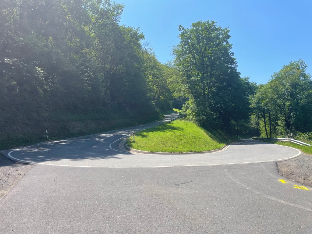
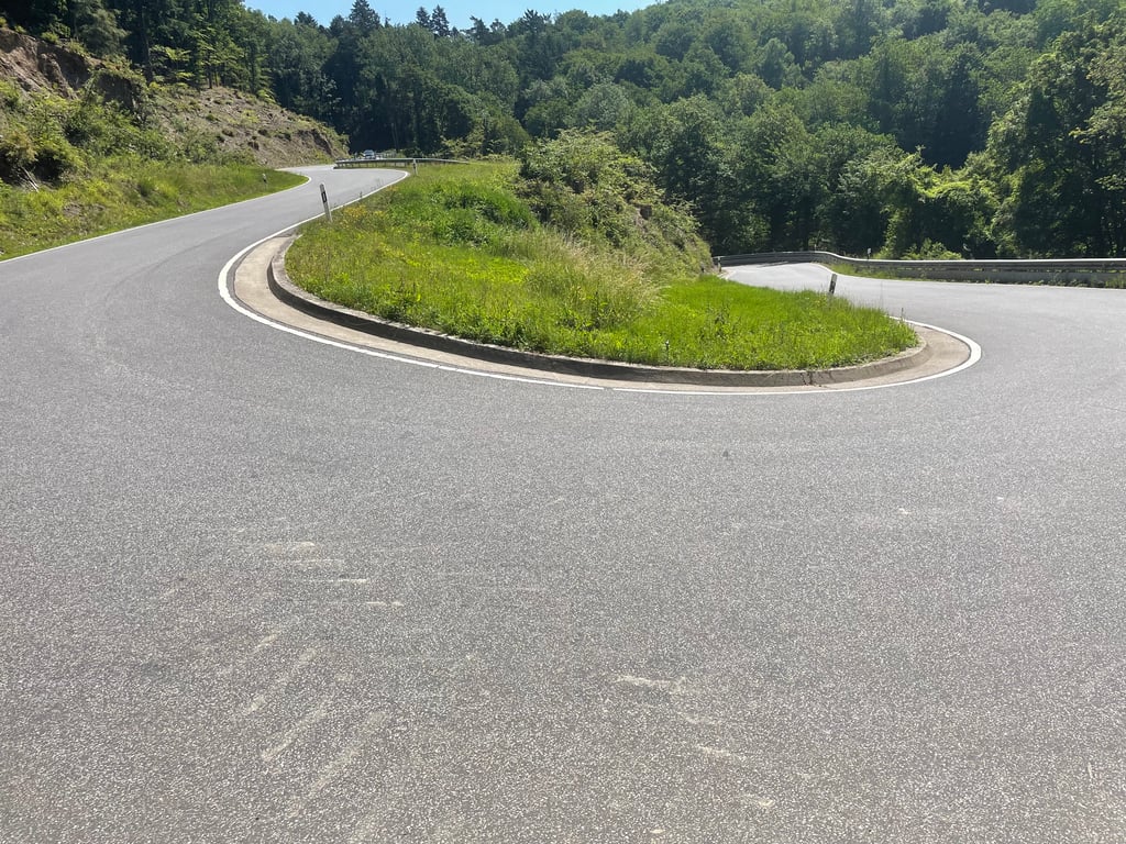
| 10 hairpin turns |
| #67 toughest climb of Rhineland-Palatinate |
| #45 most elevation gain of Rhineland-Palatinate |
| #77 longest climb of Rhineland-Palatinate |
Brunnenstrasse from Senheim is a climb in the region Hunsrück. It is 4.3 mi long and bridges 1132 ft of vertical ascent with an average gradient of 5%, resulting in a difficulty score of 233. The top of the ascent is located at 1378 ft above sea level. Climbfinder users shared 2 reviews of this climb and uploaded 4 photos.
Road names: Brunnenstrasse & L98
4.0 by SaschaTVRThis is an automatic translation, the original language is: German.Great route on immaculate tarmac. Relatively wide road with little traffic. Beautiful hairpin bends. Small drawback, the mountain could be a little higher 😃!... read more
Welcome! Please activate your account if you would like to share something. Look for the verification email in your inbox.
If you want to upload your photos, you need to create an account. It only takes 1 minute and it's completely free.
Great route on immaculate tarmac. Relatively wide road with little traffic. Beautiful hairpin bends. Small drawback, the mountain could be a little higher 😃!
Tolle Strecke auf tadellosem Asphalt. Relativ breite Straße mit wenig Verkehr. Schöne Kehren. Kleiner Wehrmutstropfen, der Berg könnte etwas höher sein 😃!
Like many climbs here, the start is immediately the toughest/steepest part. Once out of the village, you have some nice views over the Mosel before disappearing into the cooler forest after a few hairpins.
At the "end" of the climb, we turned right and continued towards Grenderich, adding some'70 altimeters, with a steeper bit in the village itself.
Zoals veel beklimming hier is het begin meteen het zwaarste/steilste gedeelte. Als je het dorp uit bent nog even mooi uitzicht over de Moesel waarna je na een paar haarspeldbochten het koelere bos in verdwijnt.
Aan het "einde" van de klim zijn we rechtsaf gedraaid en doorgeklommen richting Grenderich waardoor er toch nog zo'n 70 hoogtemeters bij kwamen, met nog een steiler stukje in het dorp zelf.
| 5 mph | 00:51:57 |
| 7 mph | 00:36:46 |
| 9 mph | 00:28:39 |
| 12 mph | 00:21:32 |
This page is better in the app