Tips nearby


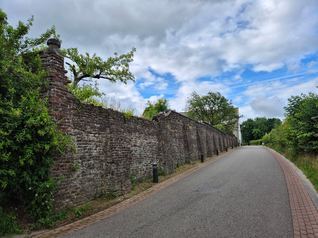
Bruisterbosch from Honthem is a climb in the region South Limburg. It is 0.2 mi long and bridges 49 ft of vertical ascent with an average gradient of 3.9%, resulting in a difficulty score of 8. The top of the ascent is located at 525 ft above sea level. Climbfinder users shared 3 reviews of this climb and uploaded 5 photos.
Road name: Bruisterbosch
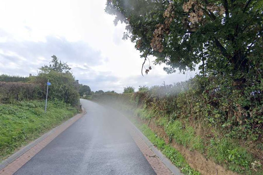
2.0 by Pieter394This is an automatic translation, the original language is: Dutch.Short kink that you can take with some speed if you come from the Hoebesweg descent (do watch out for the lane on the right (didn't pay attention to whether it was right of way or not)). Before you know it, you're up here.... read more
Welcome! Please activate your account if you would like to share something. Look for the verification email in your inbox.
If you want to upload your photos, you need to create an account. It only takes 1 minute and it's completely free.
Short kink that you can take with some speed if you come from the Hoebesweg descent (do watch out for the lane on the right (didn't pay attention to whether it was right of way or not)). Before you know it, you're up here.
Kort knikje die je met enige snelheid kan nemen als je vanuit de afdaling van de Hoebesweg komt (wel opletten voor het baantje rechts (niet opgelet of het voorrang van rechts was of niet)). Voor je het weet ben je hier boven.
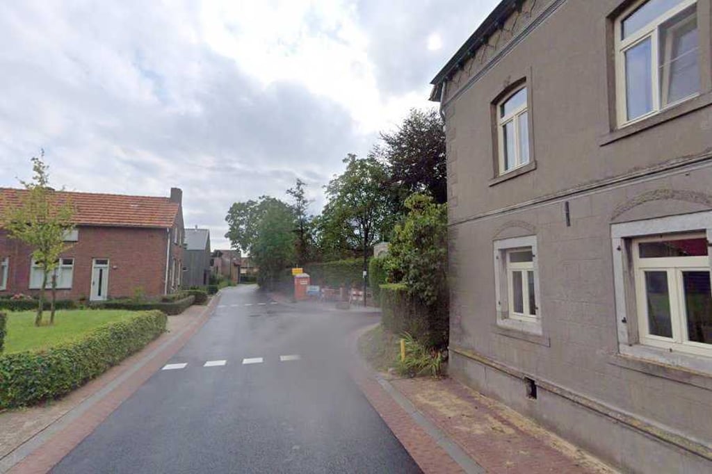
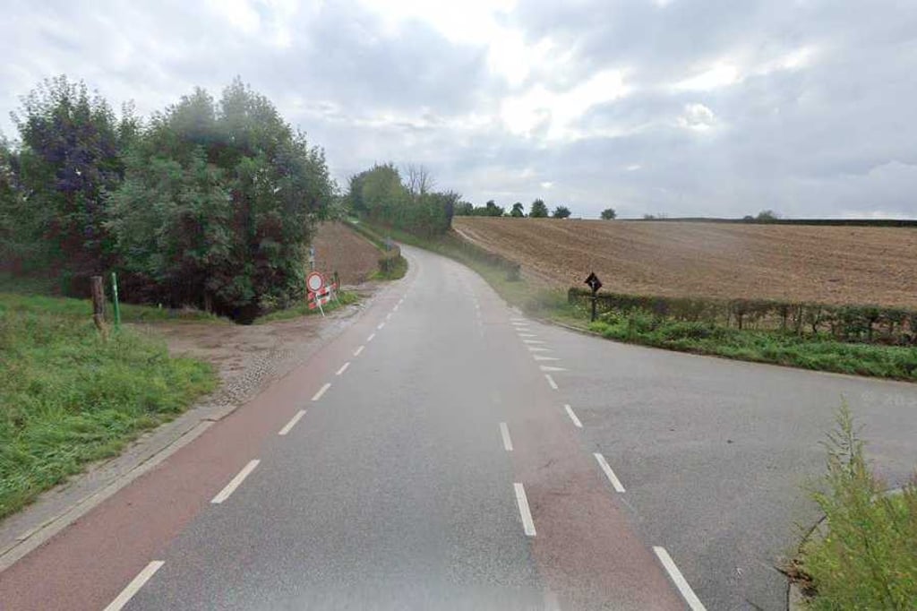
Part of the beautifully situated, winding and undulating road between Margraten and Banholt and apparently this hump was good enough for its own entry. Just great fun to ride as part of the whole route.
Onderdeel van de mooi gelegen, slingerende en golvende weg tussen Margraten en Banholt en blijkbaar was deze bult goed genoeg voor een eigen vermelding. Gewoon erg leuk om te rijden als onderdeel van het hele traject.
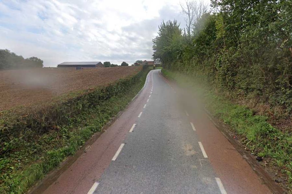
Short climb whose start you reach from Honthem or Margraten. When you get to it you can already see the top lying down. First stretch up to first farm on the left is the steepest. After that it flattens out.
Kort klimmetje waarvan je begin bereikt vanuit Honthem of Margraten. Als je er aan begint zie je de top al liggen. Eerste stuk tot aan de boerderij links van de weg is het steilst. Daarna vlakt het af.
| 5 mph | 00:02:48 |
| 7 mph | 00:01:59 |
| 9 mph | 00:01:33 |
| 12 mph | 00:01:09 |
This page is better in the app