View on map
© MapLibre | OpenStreetMap contributors
1%
2%
4%
6%
8%
10%
12%
15%
20%

Boxbergheide via Boxbergstraat

2.5
2 reviews | Elevation profile | 2 photos
Tips nearby
Boxbergheide via Boxbergstraat
transparant thumb
transparant thumb
transparant thumb
transparant thumb
transparant thumb
transparant thumb
Your achievable time
Calculating based on your best performances...
Relaxed
Maximum
W/kg
W/kg
W/kg
Analyze your climbing performance
Detailed insight into your climbing performance & automatically check off climbs
Based on your best performances.
Your best attempt:
Number of attempts:
Elevation profile Boxbergheide via Boxbergstraat

Statistics

Difficulty points 5
Length 0.2 mi
Average gradient 3.6%
Steepest segment 4.8%
Total ascent 46 ft
Feedback about this climb?
Show climbs nearby Export to GPS device

Boxbergheide via Boxbergstraat is a climb in the region Kempens Plateau. It is 0.2 mi long and bridges 46 ft of vertical ascent with an average gradient of 3.6%, resulting in a difficulty score of 5. The top of the ascent is located at 243 ft above sea level. Climbfinder users shared 2 reviews of this climb and uploaded 2 photos.

Road names: Boxbergstraat & Oude Zonhoverweg
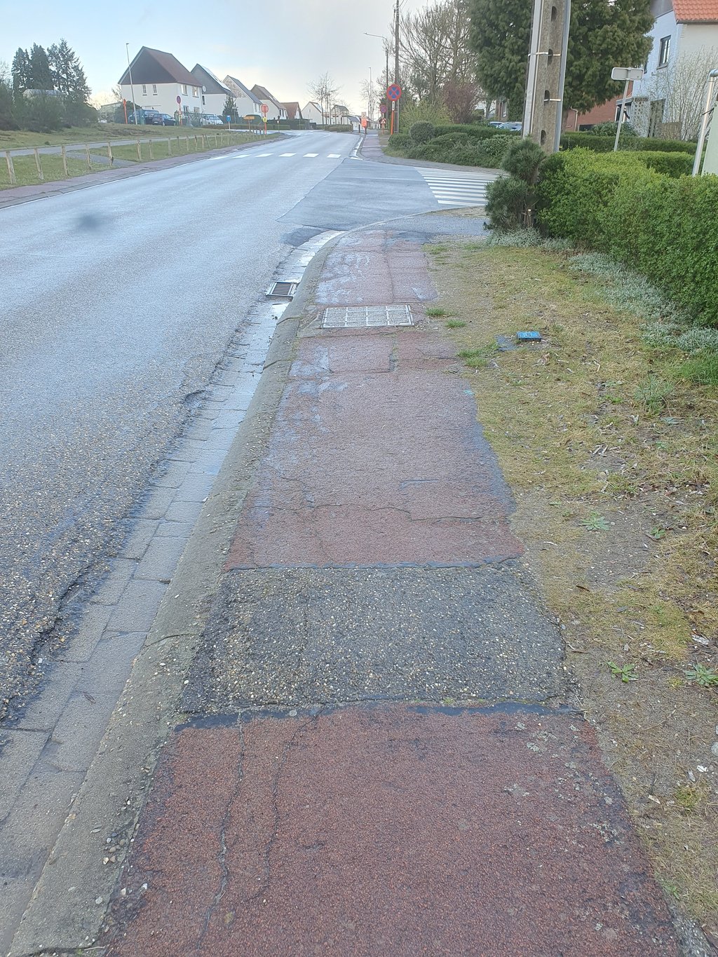
This is an automatic translation, the original language is: Dutch.
The bike path (right) is not recommended, but biking on the road doesn't feel good either. Otherwise built environment, so not my favorite.... read more

Photos (2)

Boxbergheide via Boxbergstraat
transparant thumb
transparant thumb
transparant thumb
transparant thumb

Your uploads (max 4)

Welcome! Please activate your account if you would like to share something. Look for the verification email in your inbox.

If you want to upload your photos, you need to create an account. It only takes 1 minute and it's completely free.

  • Receive free climbfinder goodies for your reviews & photos.
  • Create a bucket list and check off conquered climbs.
  • Add missing climbs.
Continue with GoogleContinue with Google Continue with FacebookContinue with Facebook Continue with AppleContinue with Apple Sign up with email
By signing up you agree to our terms of service and confirm that you have read our privacy & content policy.

Reviews (2)

5.0
4.0
3.0
2.0
1.0
JurneSleddens
1 Mo 2.0
This is an automatic translation, the original language is: Dutch. Show original

The bike path (right) is not recommended, but biking on the road doesn't feel good either. Otherwise built environment, so not my favorite.

Het fietspad (rechts) is niet aan te raden, maar over de weg fietsen voelt ook niet lekker. Verder bebouwde omgeving, dus niet mijn favoriet.

Dashboard
depolle
1 y 3.0
This is an automatic translation, the original language is: Dutch. Show original

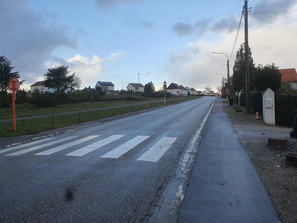
It is a nice short climb for the region, and when you turn up you can see it looming all the way in front of you.It was once included as a climb for the mountain classification of the unfortunately vanished multi-day stage race Ronde van Limburg for amateurs (later promises).A nice alternative is if you take the Oude Zonhoverweg on the left at the first junction and reach the top at the swimming pool via a right-hand bend, where a nice overview of the region awaits.

Voor de regio een leuke korte klim die men bij het opdraaien meteen volledig voor zich ziet opdoemen.Werd ooit opgenomen als klim voor het bergklassement van de helaas verdwenen meerdaagse rittenkoers Ronde van Limburg voor amateurs( later beloften).Een leuk alternatief is als men aan de eerste kruising links de Oude Zonhoverweg neemt en via een rechtse bocht de top aan het zwembad bereikt waar een fraai overzicht over de regio wacht.

Dashboard

Climbing times

5 mph 00:02:50
7 mph 00:02:00
9 mph 00:01:33
12 mph 00:01:10

Road surface condition

0% 100% 0%
Based on 1 vote
Share your knowledge. What was the road condition during your ascent?

Traffic

0% 100% 0%
Based on 1 vote
Your experience counts. How much traffic did you encounter during the climb?

Frequently Asked Questions

You don't need special gearing for Boxbergheide via Boxbergstraat. The slope isn't long or steep enough to require much shifting down. You can conquer this climb on power alone. However, a compact gearing system with a smallest front chainring of 34 and largest rear sprocket of 28 or 30 is always nice if you enjoy cycling uphill. This helps maintain a smooth cadence.

Boxbergheide via Boxbergstraat is not tough enough to be assigned a mountain category. This means that even untrained cyclists can reach the top without any problems on this climb.

Boxbergheide via Boxbergstraat is 0.2 mi long.

The average gradient of Boxbergheide via Boxbergstraat is 3.6%.

Boxbergheide via Boxbergstraat has a steepest segment with an average gradient of 4.8%.

The summit of Boxbergheide via Boxbergstraat is at 243 ft.

At a slow pace of 5 mph, it takes about 00:02:50 to climb Boxbergheide via Boxbergstraat. At 7 mph the time is 00:02:00, and at 9 mph 00:01:33. For the fastest cyclists, 00:01:10 is an achievable time.

Boxbergheide via Boxbergstraat is located in the region Belgium Limburg in Belgium.

This page is better in the app

Climbfinder app
Climbfinder
(Free)
Open