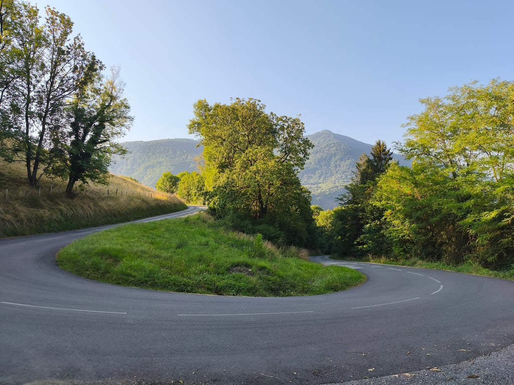
| 9 hairpin turns |
| #69 toughest climb of La Maurienne |
| #66 most elevation gain of La Maurienne |
| #61 longest climb of La Maurienne |
| #70 average steepest climb of La Maurienne |
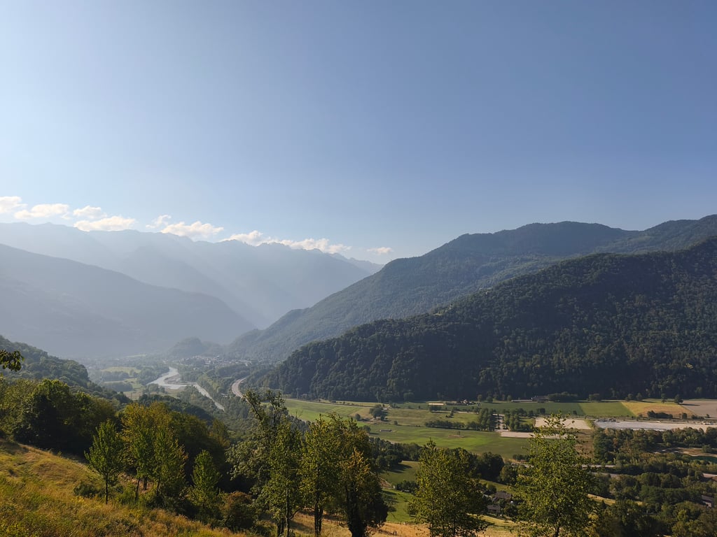
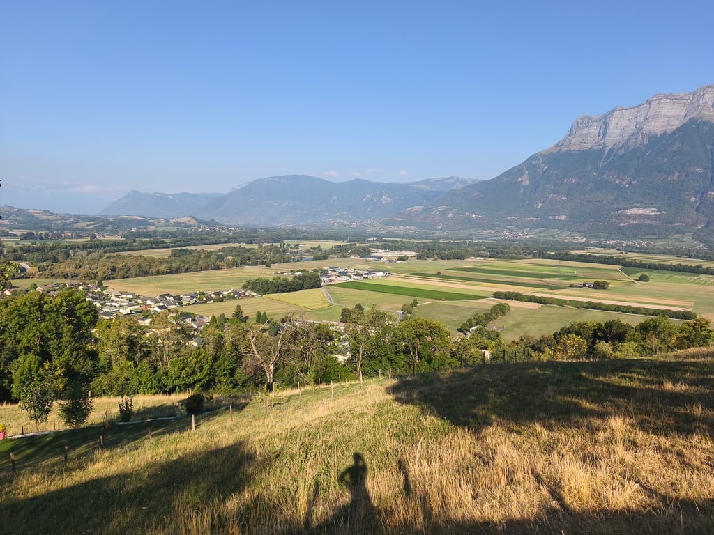
Bonvillaret from Aiton is a climb in the region La Maurienne. It is 3.4 mi long and bridges 1198 ft of vertical ascent with an average gradient of 6.7%, resulting in a difficulty score of 288. The top of the ascent is located at 2192 ft above sea level. Climbfinder users shared 3 reviews of this climb and uploaded 9 photos.
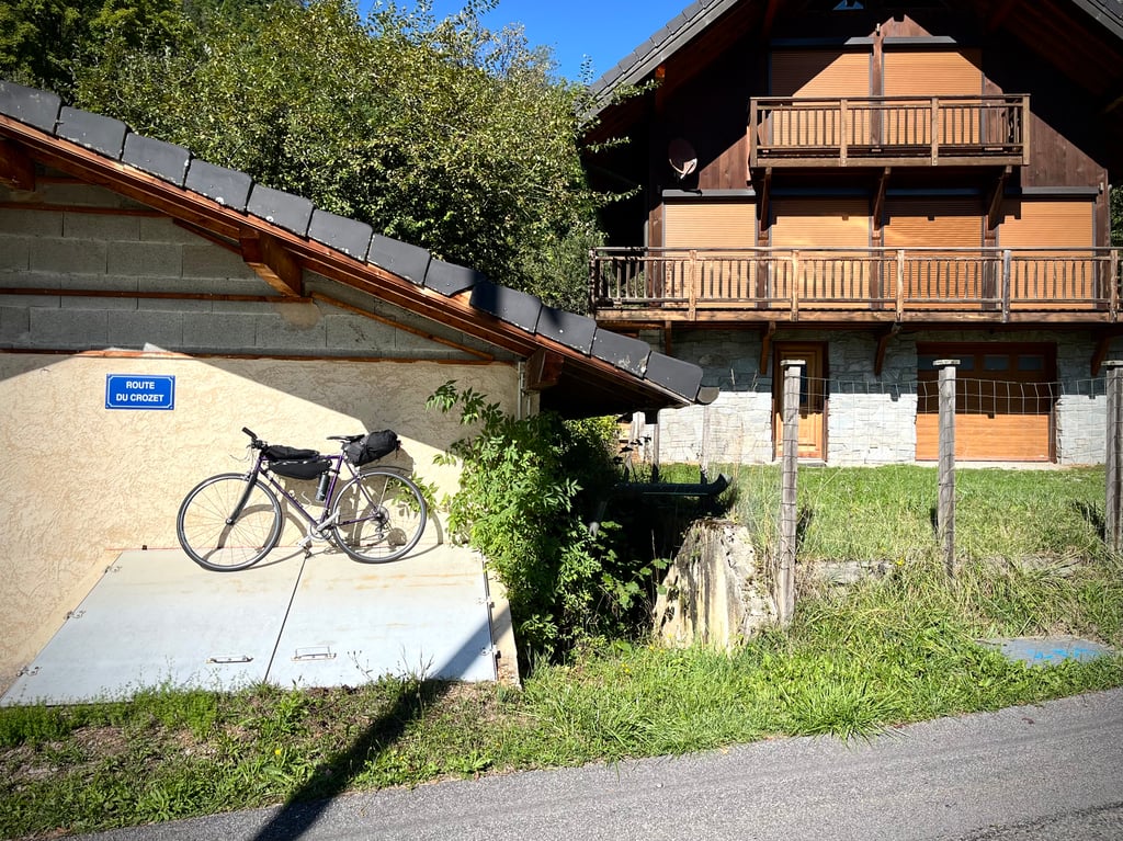
Road names: Route du Fort, D 102 & D 102
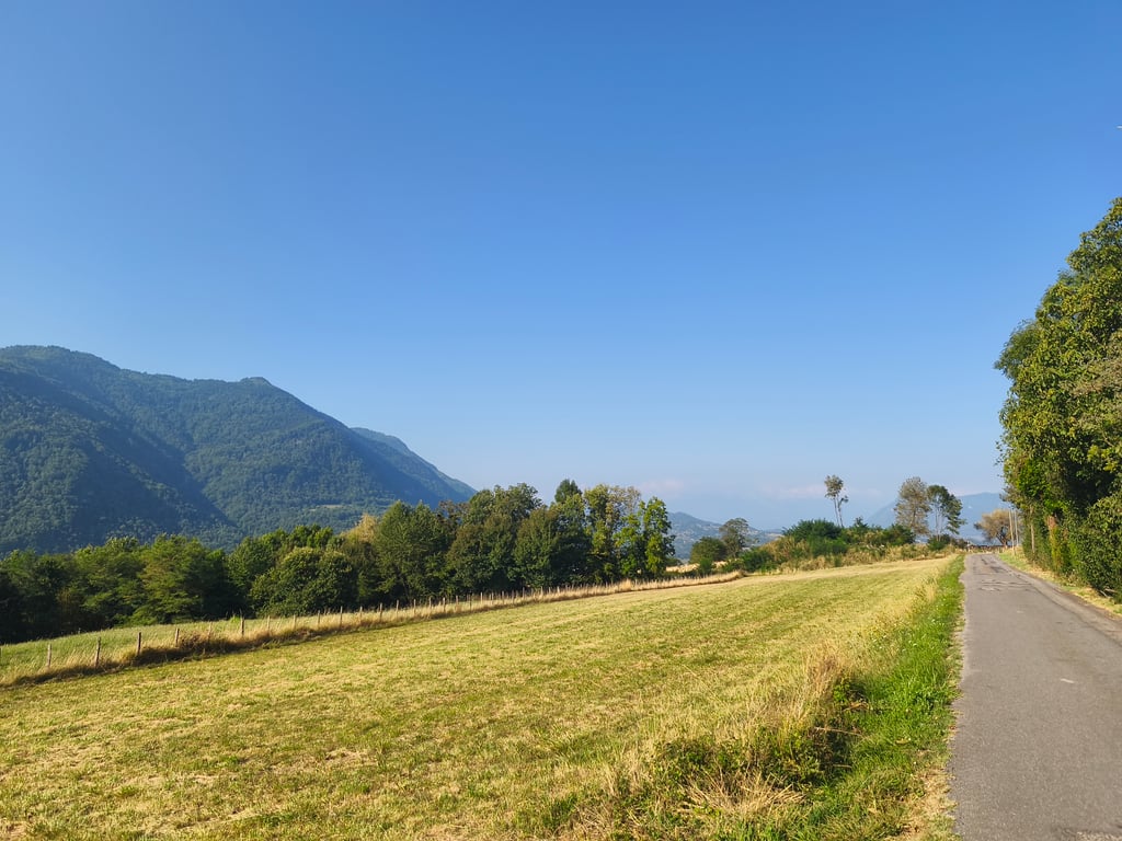
2.0 by CromagnonThis is an automatic translation, the original language is: French.This "side" of the Bonvillaret climb is the nicer of the two, but it's also the easier. The small road is shaded. The gradients are very reasonable indeed. No vehicles. The views over the valley are not magical. Christ was continuing his tanning session. I didn't really know what to photograph. Two short climbs that will soon be forgotten.... read more

Welcome! Please activate your account if you would like to share something. Look for the verification email in your inbox.
If you want to upload your photos, you need to create an account. It only takes 1 minute and it's completely free.
This "side" of the Bonvillaret climb is the nicer of the two, but it's also the easier. The small road is shaded. The gradients are very reasonable indeed.
No vehicles. The views over the valley are not magical. Christ was continuing his tanning session.
I didn't really know what to photograph.
Two short climbs that will soon be forgotten.
Ce « versant » de la montée de Bonvillaret est le plus sympa des deux, mais c’est aussi le plus facile. La petite route est ombragée. Les pourcentages sont vraiment très raisonnables.
Aucun véhicule. Les vues sur la vallée ne sont pas magiques. Le Christ poursuivait sa séance de bronzage.
Je n’ai pas trop su quoi photographier.
Deux petites montées qui s’oublieront vite.
A very pleasant short climb on a very quiet road of fairly good quality. The start is steeper and sunnier, before easing off and finishing the climb in the forest, which becomes steeper again. There are some lovely views along the way. The descent to Aiguebelle is on a worse road, with gravel requiring care.
Petite montée très agréable sur une route très calme d'assez bonne qualité. Le début est plus raide et au soleil, avant une accalmie et une fin d'ascension en forêt qui se raidie à nouveau. De jolis vues agrémentent le parcours. La descente en direction d'Aiguebelle se fait sur une moins bonne route avec des gravillons nécessitant de l'attention.
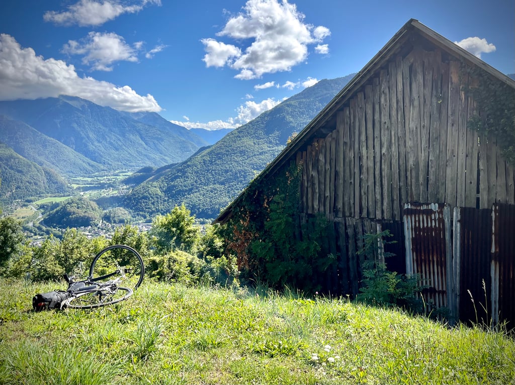
Done on the 8th of May 2023, a nice little climb if you are on holiday in the area.
To be combined with the other side for the more experienced.
In the afternoon the first part up to the crossing of the Montgrepont road is in the sun, afterwards it is less steep with some shaded sections.
Fait le 8 mai 2023, une belle petite ascension sympa si vous êtes en vacances dans le coin.
A combiner avec l'autre versant pour les plus entrainés.
L'après midi la première partie jusqu'au croisement de la route de Montgrepont est en plein soleil après c'est moins pentu avec passages à l'ombre.
| 5 mph | 00:40:37 |
| 7 mph | 00:28:45 |
| 9 mph | 00:22:24 |
| 12 mph | 00:16:50 |
This page is better in the app