One of the most important ports around Compostela.
Although its average gradient may make it seem like a piece of cake, it is worth noting that it consists of almost 10 kilometers of uninterrupted ascent, and that its intermediate section (3'5 km in which it does not reach more than 3%) reduces the total gradient of a pass that will make more than one person get out of the saddle for long stretches.
Leaving the village of Augapesada, we find the first hard ramps when we turn off the route that would take us to the Alto do Vento, taking a small road on the left, very steep in its initial stretch, which climbs through a wooded region. Gradually, the road will be softening and will lead us to cross small villages (Cortegada, Mercuto ...), to finally come out on the road linking Vrins with Portomouro. After a few hundred meters, when it seems that we are already finishing the ascent and that only remains to start the descent, we will leave the main road by an asphalt track on the right hand side that, now yes, will put us in the real ambush of the final stretch that will take us to the Bola de Espiñeira.
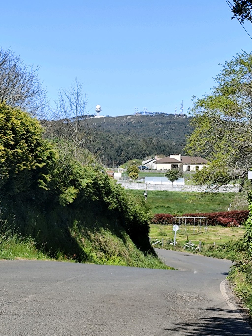
The views from the top are magnificent and in summer, if you have forgotten to load up on gels, you can find numerous brambles on the roadside to supply you with delicious blackberries.
Uno de los puertos de mayor entidad en los alrededores de Compostela.
Si bien su pendiente media puede hacerlo parecer pan comido, conviene reparar en el hecho de que consta de casi 10 kilómetros de ascensión ininterrumpida, y que su tramo intermedio (3'5 km en los que no se alcanza más de un 3%) rebaja la pendiente total de un puerto que a más de uno le hará levantarse del sillín durante largos tramos.
Saliendo de la aldea de Augapesada, encontramos las primeras rampas duras al desviarnos del itinerario que habría de llevarnos hasta el Alto do Vento, tomando una pequeña carretera a mano izquierda, muy empinada en su tramo inicial, que asciende por una región boscosa. Poco a poco, la carretera irá dulcificándose y nos llevará a atravesar pequeñas aldeas (Cortegada, Quintáns, Vilar...), para finalmente salir a la carretera que une Vrins con Portomouro. Tras unos pocos cientos de metros, cuando parece que ya estamos finalizando la ascensión y que solo queda empredender el descenso, abandonaremos la carretera principal hacia una pista de asfalto a mano derecha que, ahora sí, nos meterá en la emboscada del tramo final que finaliza en la Bola de Espiñeira.
Las vistas desde la cima son magníficas y en verano, si has olvidado cargarte de geles, podrás encontrar numerosas zarzas en los márgenes de la carretera para surtirte de deliciosas moras.