View on map
© MapLibre | OpenStreetMap contributors
1%
2%
4%
6%
8%
10%
12%
15%
20%

Bois de Beyne

3.5
4 reviews | Elevation profile | 10 photos
Tips nearby
Bois de Beyne
Bois de Beyne
Bois de Beyne
Bois de Beyne
Bois de Beyne
Bois de Beyne
Bois de Beyne
Bois de Beyne
Your achievable time
Calculating based on your best performances...
Relaxed
Maximum
W/kg
W/kg
W/kg
Analyze your climbing performance
Detailed insight into your climbing performance & automatically check off climbs
Based on your best performances.
Your best attempt:
Number of attempts:
Elevation profile Bois de Beyne

Statistics

Difficulty points 159
Length 1.5 mi
Average gradient 6.8%
Steepest segment 16.4%
Total ascent 528 ft

Short recap

Beautiful scenery
Hidden gem
#87 toughest climb of Liège Province
#20 most elevation gain of Pays de Herve
Feedback about this climb?
Show climbs nearby Export to GPS device

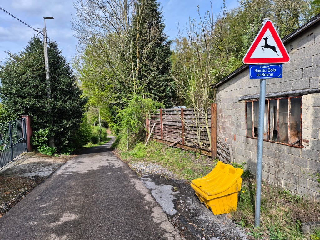
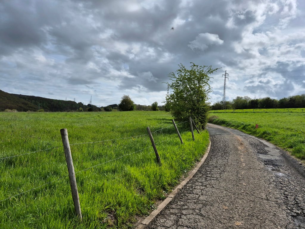
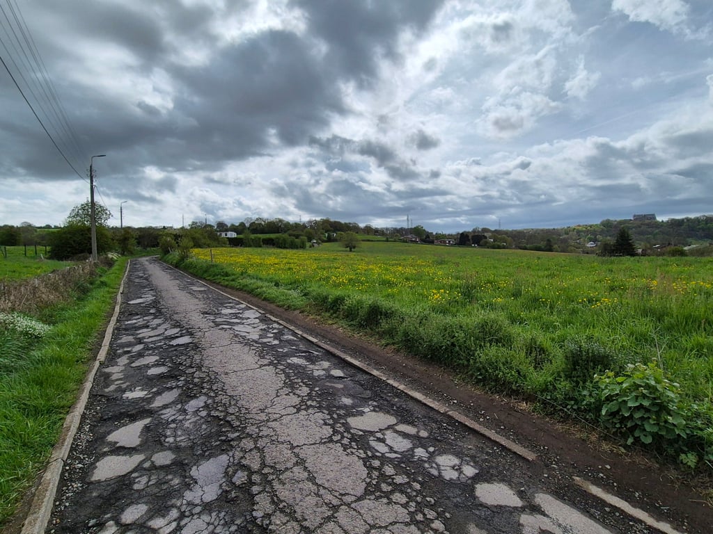
Bois de Beyne is a climb in the region Pays de Herve. It is 1.5 mi long and bridges 528 ft of vertical ascent with an average gradient of 6.8%, resulting in a difficulty score of 159. The top of the ascent is located at 787 ft above sea level. Climbfinder users shared 4 reviews of this climb and uploaded 10 photos.

Road names: Rue Haute Ransy, Rue des Sopreyes & Rue du Bois de Beyne
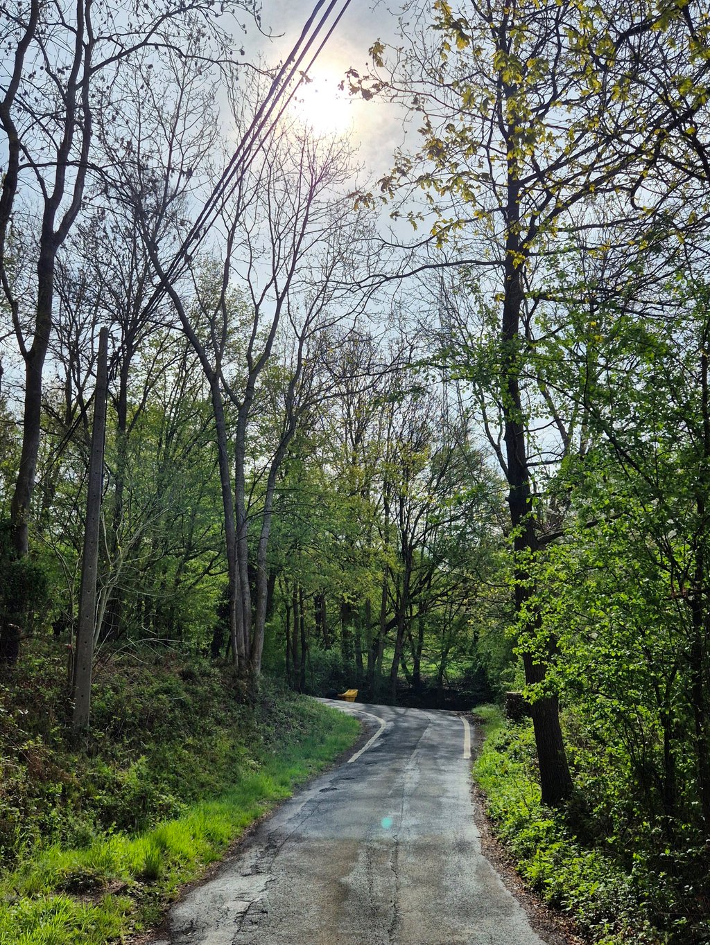
4.0 by Jarin
This is an automatic translation, the original language is: Dutch.
Climb that starts quietly among meadows but gets increasingly steep in the forest, and where you probably do have to get out of the saddle for a while in the last 50 metres to reach the top. I would therefore also advise against descending this slope!... read more

Photos (10)

Bois de Beyne
Bois de Beyne
Bois de Beyne
Bois de Beyne
Bois de Beyne
Bois de Beyne
Bois de Beyne
Bois de Beyne
Bois de Beyne
Bois de Beyne
transparant thumb
transparant thumb

Your uploads (max 4)

Welcome! Please activate your account if you would like to share something. Look for the verification email in your inbox.

If you want to upload your photos, you need to create an account. It only takes 1 minute and it's completely free.

  • Receive free climbfinder goodies for your reviews & photos.
  • Create a bucket list and check off conquered climbs.
  • Add missing climbs.
Continue with GoogleContinue with Google Continue with FacebookContinue with Facebook Continue with AppleContinue with Apple Sign up with email
By signing up you agree to our terms of service and confirm that you have read our privacy & content policy.

Reviews (4)

5.0
4.0
3.0
2.0
1.0
Jarin
2 y 4.0
This is an automatic translation, the original language is: Dutch. Show original

Climb that starts quietly among meadows but gets increasingly steep in the forest, and where you probably do have to get out of the saddle for a while in the last 50 metres to reach the top. I would therefore also advise against descending this slope!

Klim die rustig begint tussen weilanden maar in het bos steeds steiler wordt, en waarbij je de laatste 100 meter waarschijnlijk wel even uit het zadel moet om de top te bereiken. Ik zou het daarom ook afraden om deze helling af te dalen!

Dashboard
Coen
5 y 3.0
This is an automatic translation, the original language is: Dutch. Show original

I have descended this climb before. The road surface is so bad that this is really a must. Climbing is possible I think. Last part of the climb is really steep.

Ik ben deze klim wel eens afgedaald. Het wegdek is dusdanig slecht dat dit echt een afrader is. Klimmend gaat denk ik wel. Laatste stuk van de klim is wel echt steil.

Dashboard
Random
Loek de Rooij
11 y
This is an automatic translation, the original language is: Dutch. Show original

Thanks for the tip. Nice climb, yeah. When the road turns left in the forest it gets really tricky. Too bad people use the forest there as a garbage dump.

Bedankt voor de tip. Mooie klim ja. Als de weg naar links draait in het bos wordt het echt lastig. Wel jammer dat mensen het bos daar gebruiken als afval dump.

Dashboard
Random
Lieven Schellekens
11 y
This is an automatic translation, the original language is: Dutch. Show original

Nice climb, damn tricky at the end, gets steeper and steeper. Came also not far after Heid des Chênes where I had gone rather deep

Mooie klim, verdomd lastig op het einde, wordt steeds steiler en steiler. Kwwam ook niet ver na Heid des Chênes waar ik nogal diep gegaan was

Dashboard

Climbing times

5 mph 00:17:42
7 mph 00:12:32
9 mph 00:09:46
12 mph 00:07:20

Road surface condition

100% 0% 0%
Based on 1 vote
Share your knowledge. What was the road condition during your ascent?

Traffic

100% 0% 0%
Based on 1 vote
Your experience counts. How much traffic did you encounter during the climb?

Frequently Asked Questions

Bois de Beyne is a challenging ascent. For this type of climbing, we recommend mountain gearing, specifically a compact system. This means a small front chainring of 34 teeth, combined with a rear cassette where, depending on your level, strength, and experience, you choose a sprocket with 30, 32, or even 34 teeth. Remember that a smooth cadence is always more efficient!

Bois de Beyne is a 3rd-category climb. Almost anyone can handle this climb, as long as you have a bike with climbing gears. If you have little training, you will probably need to shift down significantly. For experienced riders, Bois de Beyne is not a problem.

Bois de Beyne is 1.5 mi long.

The average gradient of Bois de Beyne is 6.8%.

Bois de Beyne has a steepest segment with an average gradient of 16.4%.

The summit of Bois de Beyne is at 787 ft.

At a slow pace of 5 mph, it takes about 00:17:42 to climb Bois de Beyne. At 7 mph the time is 00:12:32, and at 9 mph 00:09:46. For the fastest cyclists, 00:07:20 is an achievable time.

Bois de Beyne is located in the region Liège Province in Belgium.

This page is better in the app

Climbfinder app
Climbfinder
(Free)
Open