View on map
© MapLibre | OpenStreetMap contributors
1%
2%
4%
6%
8%
10%
12%
15%
20%

Balmberg from Günsberg

3.3
3 reviews | Elevation profile | 2 photos
Tips nearby
Balmberg from Günsberg
transparant thumb
transparant thumb
transparant thumb
transparant thumb
transparant thumb
transparant thumb
Your achievable time
Calculating based on your best performances...
Relaxed
Maximum
W/kg
W/kg
W/kg
Analyze your climbing performance
Detailed insight into your climbing performance & automatically check off climbs
Based on your best performances.
Your best attempt:
Number of attempts:
Elevation profile Balmberg from Günsberg

Statistics

Difficulty points 446
Length 3 mi
Average gradient 9.4%
Steepest segment 15.5%
Total ascent 1486 ft

Short recap

Beautiful scenery
4 hairpin turns
#95 toughest climb of Jura
#9 most elevation gain of Solothurn
#21 longest climb of Solothurn
#30 average steepest climb of Solothurn
Feedback about this climb?
Show climbs nearby Export to GPS device

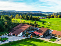
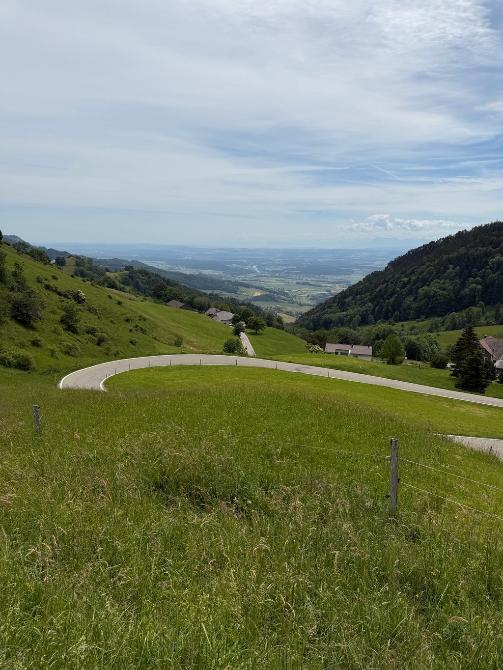
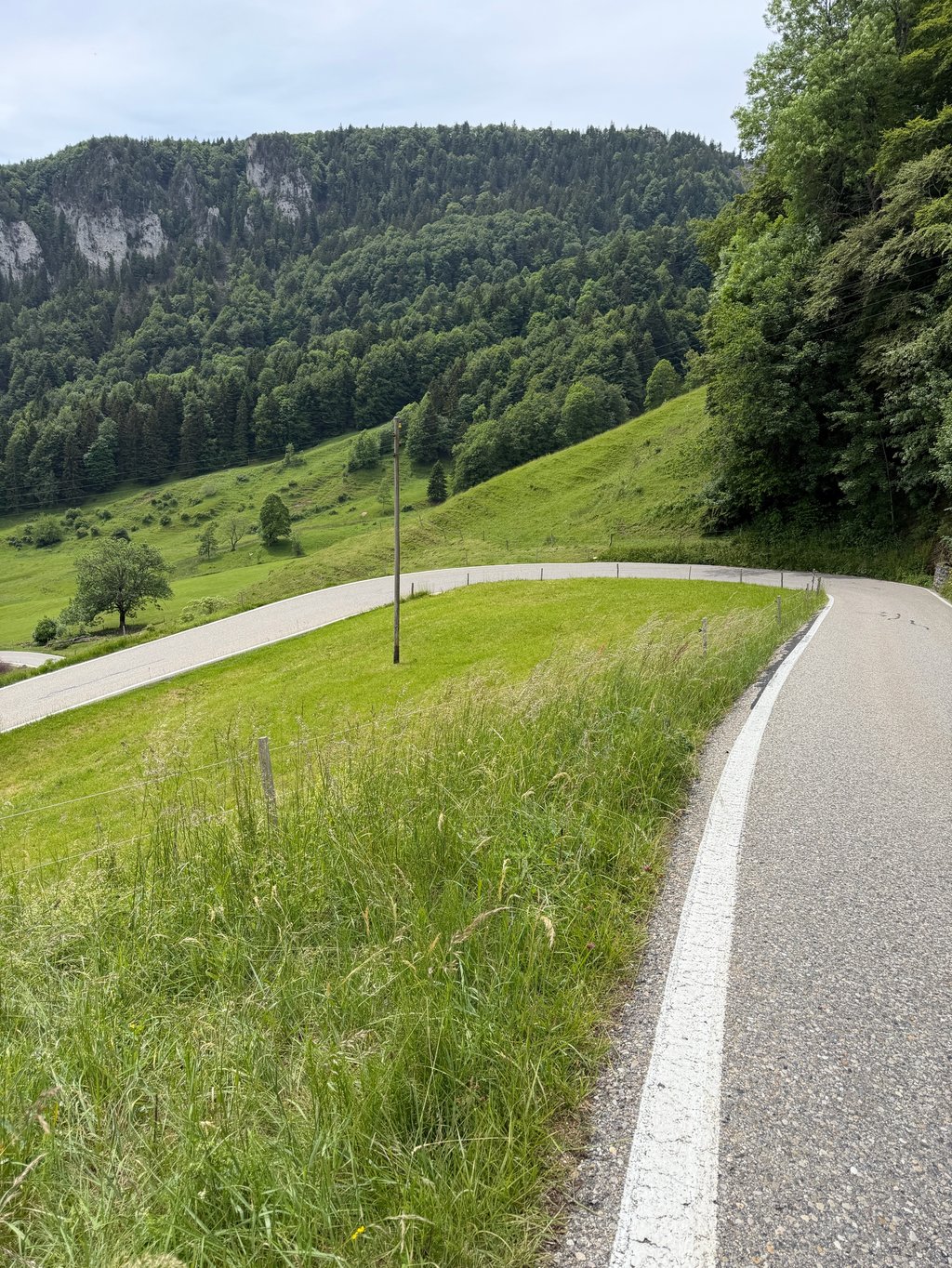
Balmberg from Günsberg is a climb in the region Solothurn. It is 3 mi long and bridges 1486 ft of vertical ascent with an average gradient of 9.4%, resulting in a difficulty score of 446. The top of the ascent is located at 3540 ft above sea level. Climbfinder users shared 3 reviews of this climb and uploaded 2 photos.

Road name: Balmbergstrasse

4.0 by Eric691628
This is an automatic translation, the original language is: German.
The south side is very easy to ride on a racing bike. The route used to be an individual time trial of the Tour de Suisse. Some commuters from the Thal use the pass by car. If that bothers you, don't use it from 17:00 to 18:00. HGVs are not allowed to cross - only a Postbus drives over. It announces itself with horn signals. ... read more

Photos (2)

Balmberg from Günsberg
transparant thumb
transparant thumb
transparant thumb
transparant thumb

Your uploads (max 4)

Welcome! Please activate your account if you would like to share something. Look for the verification email in your inbox.

If you want to upload your photos, you need to create an account. It only takes 1 minute and it's completely free.

  • Receive free climbfinder goodies for your reviews & photos.
  • Create a bucket list and check off conquered climbs.
  • Add missing climbs.
Continue with GoogleContinue with Google Continue with FacebookContinue with Facebook Continue with AppleContinue with Apple Sign up with email
By signing up you agree to our terms of service and confirm that you have read our privacy & content policy.

Reviews (3)

5.0
4.0
3.0
2.0
1.0
Eric691628
2 w 4.0
This is an automatic translation, the original language is: German. Show original

The south side is very easy to ride on a racing bike. The route used to be an individual time trial of the Tour de Suisse. Some commuters from the Thal use the pass by car. If that bothers you, don't use it from 17:00 to 18:00.
HGVs are not allowed to cross - only a Postbus drives over. It announces itself with horn signals.

Die Südseite ist sehr gut zu fahren mit dem Rennvelo. Die Strecke war früher auch ein Einzelzeitfahren der Tour de Suisse. Einige Pendler aus dem Thal nutzen den Pass mit dem Auto. Wen das stört, eher nicht von 17:00 bis 18:00 befahren.
LKW dürfen nicht drüber - lediglich ein Postauto fährt. Es kündigt sich mit Hornsignalen an.

Dashboard
GW6
8 Mo 4.0
This is an automatic translation, the original language is: German. Show original

A beautiful but strenuous route. You have to watch out for oncoming traffic on the descent. Do not ride the route on a nice weekend, as the road is used by some cars (excursion to the rope park).

schöne, aber anstrengende Strecke. Bei der Abfahrt muss man auf den Gegenverkehr aufpassen. Strecke nicht an einem schönen Wochenende fahren, da die Strasse von einigen PW's befahren wird (Ausflug zum Seilpark).

Dashboard
Fred_Flatisboring
3 y 2.0
This is an automatic translation, the original language is: French. Show original

Nice climb that announces the colour right away 😅 better not to start too fast ... excellent surface and little traffic (used on a Sunday in the middle of the morning) - the descent to Welschenrhor is on the other hand an ordeal, standing on the brakes on a road in very bad condition and steeper on this slope

Belle montée qui annonce tout de suite la couleur 😅 mieux vaut ne pas partir trop vite … excellent revêtement et peu de circulation (emprunté un dimanche en milieu de matinée) - la descente sur Welschenrhor est par contre un calvaire, debout sur les freins sur une route en très mauvais état et plus pentu sur ce versant.

Dashboard

Climbing times

5 mph 00:35:57
7 mph 00:25:27
9 mph 00:19:50
12 mph 00:14:54

Road surface condition

100% 0% 0%
Based on 4 votes
Share your knowledge. What was the road condition during your ascent?

Traffic

75% 0% 25%
Based on 4 votes
Your experience counts. How much traffic did you encounter during the climb?

Frequently Asked Questions

Balmberg can be cycled from 2 sides. Balmberg from Welschenrohr is the most popular side, but the summit can also be reached via Balmberg from Günsberg.

Balmberg from Günsberg is a challenging ascent. For this type of climbing, we recommend mountain gearing, specifically a compact system. This means a small front chainring of 34 teeth, combined with a rear cassette where, depending on your level, strength, and experience, you choose a sprocket with 30, 32, or even 34 teeth. Remember that a smooth cadence is always more efficient!

Balmberg from Günsberg is a serious climb and falls into the 2nd category. With a good basic fitness level, even without much cycling experience, you can complete this climb just fine. However, a bike with climbing gears is a must. Without experience or training, it will be really tough – but that’s part of the challenge!

Balmberg from Günsberg is 3 mi long.

The average gradient of Balmberg from Günsberg is 9.4%.

Balmberg from Günsberg has a steepest segment with an average gradient of 15.5%.

The summit of Balmberg from Günsberg is at 3540 ft.

At a slow pace of 5 mph, it takes about 00:35:57 to climb Balmberg from Günsberg. At 7 mph the time is 00:25:27, and at 9 mph 00:19:50. For the fastest cyclists, 00:14:54 is an achievable time.

Balmberg from Günsberg is located in the region Solothurn in Switzerland.

This page is better in the app

Climbfinder app
Climbfinder
(Free)
Open