Angelsberg is a climb in the region Mullerthal / Little Switzerland. It is 1.2 mi long and bridges 348 ft of vertical ascent with an average gradient of 5.3%, resulting in a difficulty score of 65. The top of the ascent is located at 1375 ft above sea level. Climbfinder users shared 2 reviews of this climb and uploaded 2 photos.
Road name: 120
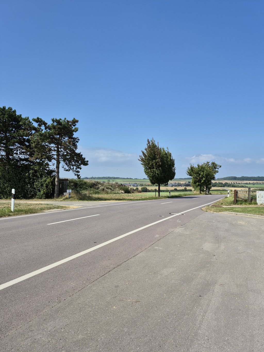
4.0 by elbowboyThis is an automatic translation, the original language is: German.The route from Fischbach via Schoss to Angelsbierg is scenically beautiful, mostly wooded and never really steep. At the end of a tour, however, it can sometimes drag on like chewing gum. Apart from moderately busy traffic, there is nothing to complain about.... read more
Welcome! Please activate your account if you would like to share something. Look for the verification email in your inbox.
If you want to upload your photos, you need to create an account. It only takes 1 minute and it's completely free.
The route from Fischbach via Schoss to Angelsbierg is scenically beautiful, mostly wooded and never really steep. At the end of a tour, however, it can sometimes drag on like chewing gum. Apart from moderately busy traffic, there is nothing to complain about.
Die Strecke von Fischbach über Schoss nach Angelsbierg ist landschaftlich wunderschön, meist bewaldet und nie wirklich steil. Am Ende einer Tour kann sie sich aber manchmal ziehen wie Kaugummi. Es gibt außer mäßig regem Verkehr nichts, was zu beanstanden wäre.
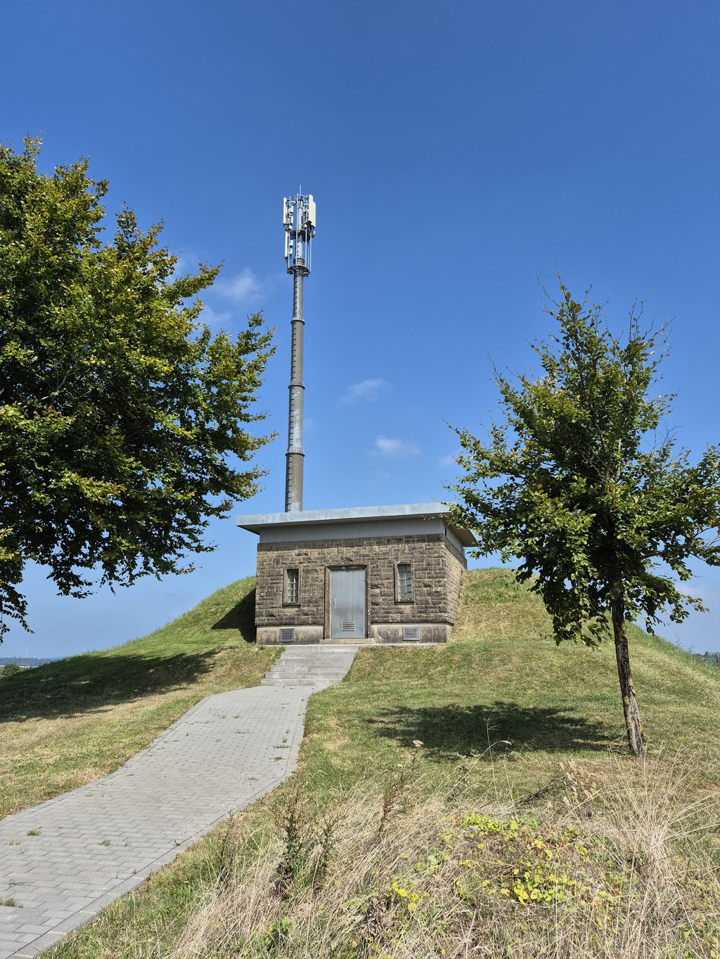
If this climb would have been completely like the first 600 meters, it would have been worth the full 5 stars! Beautiful start from Fischbach between the trees and rocks. Once you pass the winding work you slowly enter Schoss. Here the climb continues up to the transmitter mast at the top, but so the scenery is much less special. What I often do is, when entering Schoss, turn left in the direction of Rollingen and after about two kilometers turn left again on a small country road (completely asphalted). Beautiful piece of cycling there!
Moest deze klim er volledig uitzien zoals de eerste 600 meter, het was de volle 5 sterren waard geweest! Prachtig begin vanuit Fischbach tussen de bomen en de rotsen. Eenmaal het kronkelwerk gepasseerd kom je langzaamaan Schoss binnen. Hier loopt de klim nog verder tot aan de zendmast op de top, maar het landschap is dus veel minder speciaal. Wat ik vaak doe is bij het binnenrijden van Schoss linksaf slaan richting Rollingen en na een tweetal kilometer opnieuw linksaf op een klein landwegje (volledig geasfalteerd). Prachtig stukje fietsen daar!
| 5 mph | 00:14:57 |
| 7 mph | 00:10:35 |
| 9 mph | 00:08:15 |
| 12 mph | 00:06:12 |
This page is better in the app