Alto de Los Molinos via Laspuña is a climb in the region Spanish Pyrenees. It is 3.3 mi long and bridges 1093 ft of vertical ascent with an average gradient of 6.2%, resulting in a difficulty score of 265. The top of the ascent is located at 3048 ft above sea level. Climbfinder users shared 1 review/story of this climb and uploaded 2 photos.
Road names: HU-V-6401 & Hf-0106-Aa
3.0 by JohanRThis is an automatic translation, the original language is: Dutch.Nice climb. Not so difficult either. Especially the first part is tough, then it flattens out. Almost no traffic. Only the road is not in such's good condition. Especially further on when you take the descent towards Ainsa, you have to be careful. On the plateau above, you drive through an area where a forest fire reduced several hectares of forest to ashes. People are now clearing the forest there.... read more
Welcome! Please activate your account if you would like to share something. Look for the verification email in your inbox.
If you want to upload your photos, you need to create an account. It only takes 1 minute and it's completely free.
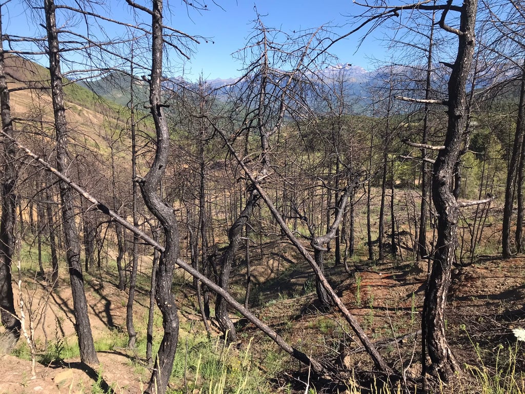
Nice climb. Not so difficult either. Especially the first part is tough, then it flattens out. Almost no traffic. Only the road is not in such's good condition. Especially further on when you take the descent towards Ainsa, you have to be careful. On the plateau above, you drive through an area where a forest fire reduced several hectares of forest to ashes. People are now clearing the forest there.
Leuke klim. Niet zo moeilijk ook. Vooral het eerste deel is pittig, daarna vlakt het af. Bijna geen verkeer. Alleen is de weg niet in zo'n goede staat. Zeker verderop als je de afdaling richting Ainsa neemt is het flink oppassen. Op het plateau boven rijd je door een gebied waar een bosbrand meerdere hectare bos in de as heeft gelegd. Men is daar nu het bos aan het rooien.
| 5 mph | 00:40:24 |
| 7 mph | 00:28:36 |
| 9 mph | 00:22:17 |
| 12 mph | 00:16:44 |
This page is better in the app