Tips nearby


| Beautiful scenery |
| 2 hairpin turns |
| #100 longest climb of Haute Savoie |
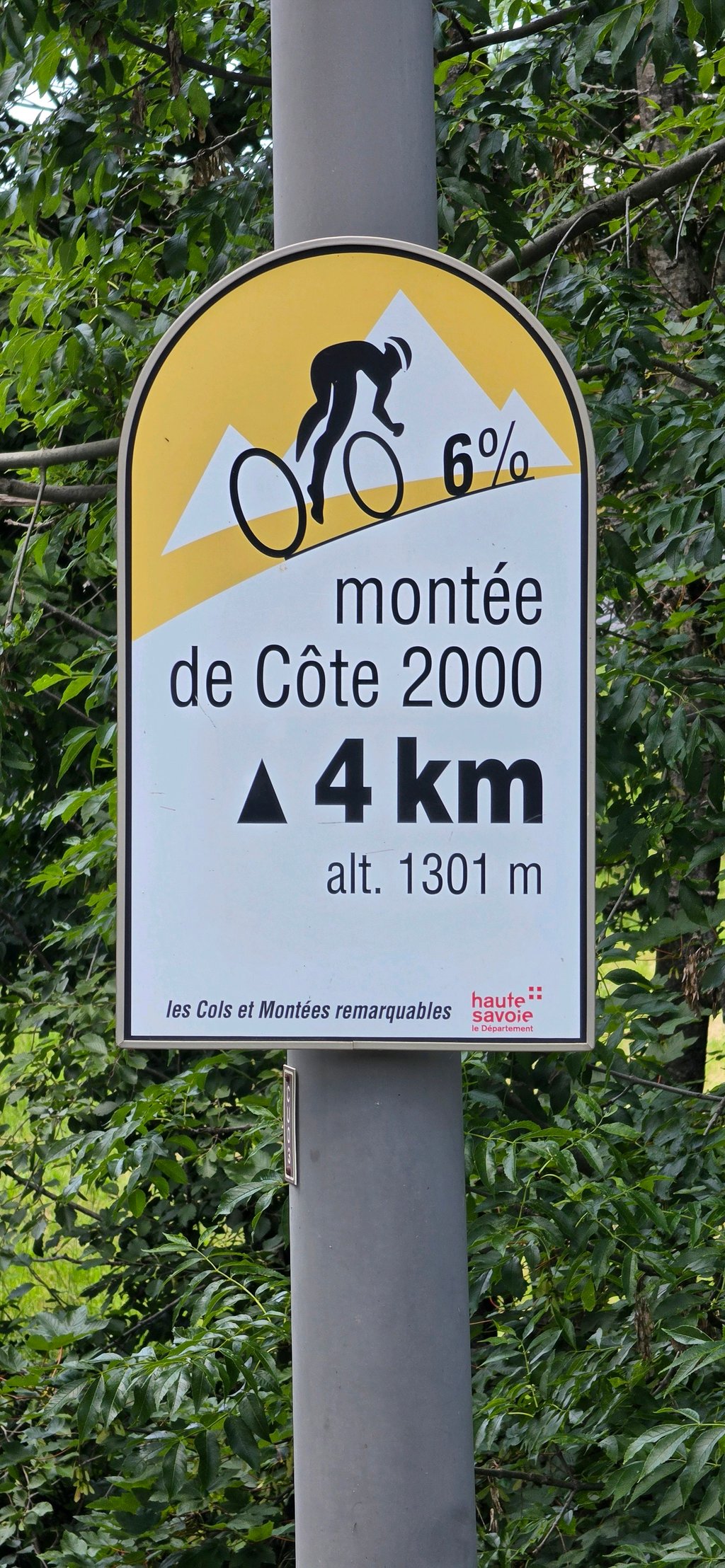
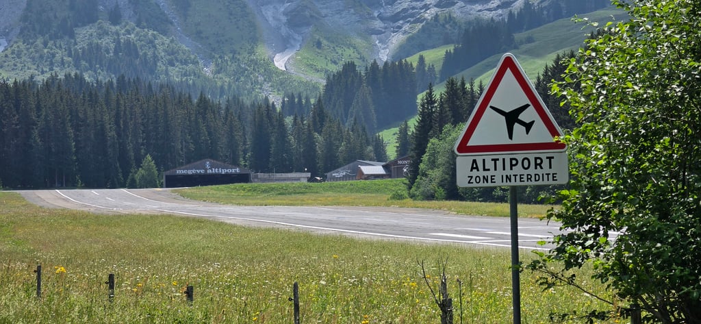
Altiport Megève from Megève is a climb in the region Haute Savoie. It is 4.6 mi long and bridges 1240 ft of vertical ascent with an average gradient of 5.1%, resulting in a difficulty score of 260. The top of the ascent is located at 4839 ft above sea level. Climbfinder users shared 2 reviews of this climb and uploaded 9 photos.
Road name: Route de côte 2000
3.0 by Djay100This is an automatic translation, the original language is: French.Nice climb, not too hard (for a beginner like me). The first few kilometres are sustained and the most difficult. Halfway up, there are flat areas and short descents to help you recover. There's a bit of a bummer after the bridge before arriving at La Livraz, then another flat section before the final climb along the altiport, which is steeper than it looks. Nice panorama at the top with views of the Aravis mountains and the Pointe Percée.... read more

Welcome! Please activate your account if you would like to share something. Look for the verification email in your inbox.
If you want to upload your photos, you need to create an account. It only takes 1 minute and it's completely free.
 Continue with Google
 Continue with Facebook
 Continue with Apple
Sign up with email
Continue with Apple
Sign up with email
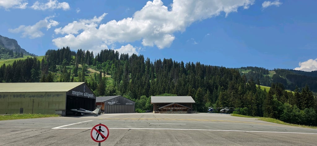
A unique climb on the way to the Megeve airport. Traffic was a bit heavier up to the lift to Mont de Arbois. After that, it’s a peaceful bike ride all the way to the airport. It’s a great climb to test your legs, and the gradient never exceeds 10%. There’s also a restaurant at the top where you can grab a drink and a bite to eat before heading back down.
Bijzondere klim om naar het vliegveld van Megeve te rijden. Tot aan de lift naar Mont de Arbois was het wel wat drukker qua verkeer. Daarna is het rustig fietsen tot aan het vliegveld. Het is een mooie klim om de benen te testen en komt nergens boven de 10%. Er is ook een restaurant bovenaan om even een drankje te doen en een hapje te eten op de top voordat je weer gaat dalen.
Nice climb, not too hard (for a beginner like me).
The first few kilometres are sustained and the most difficult. Halfway up, there are flat areas and short descents to help you recover. There's a bit of a bummer after the bridge before arriving at La Livraz, then another flat section before the final climb along the altiport, which is steeper than it looks.
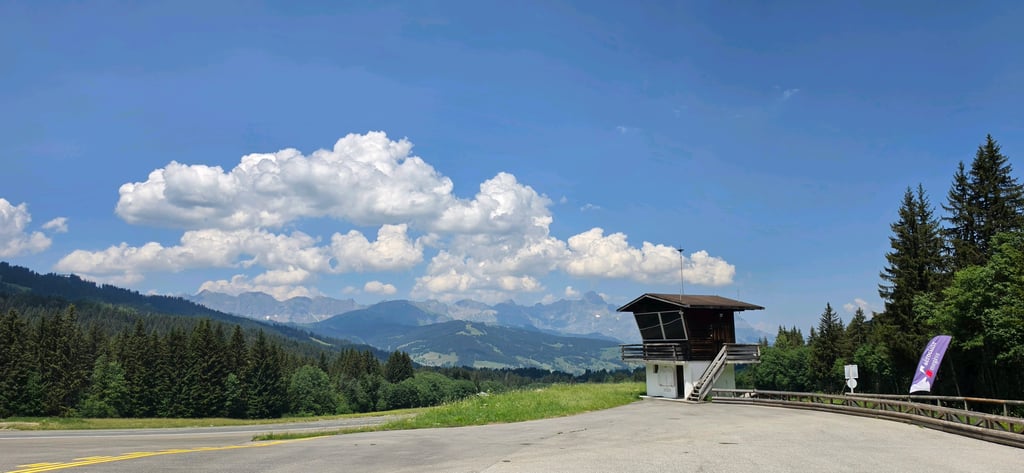
Nice panorama at the top with views of the Aravis mountains and the Pointe Percée.
Belle montée pas trop dure (pour un débutant comme moi).
Les premiers kilomètres sont soutenus et les plus difficiles. À mi-parcours des replats et petites descentes permettent de récupérer. Il y a un « coup de cul » après le pont avant d’arriver à la Livraz puis de nouveau un replat avant la montée finale le long de l’altiport qui est plus raide qu’elle en a l’air.
Panorama sympa en haut avec de belles vues sur les Aravis et la Pointe Percée.
| 5 mph | 00:55:18 |
| 7 mph | 00:39:09 |
| 9 mph | 00:30:30 |
| 12 mph | 00:22:55 |
This page is better in the app