Tips nearby


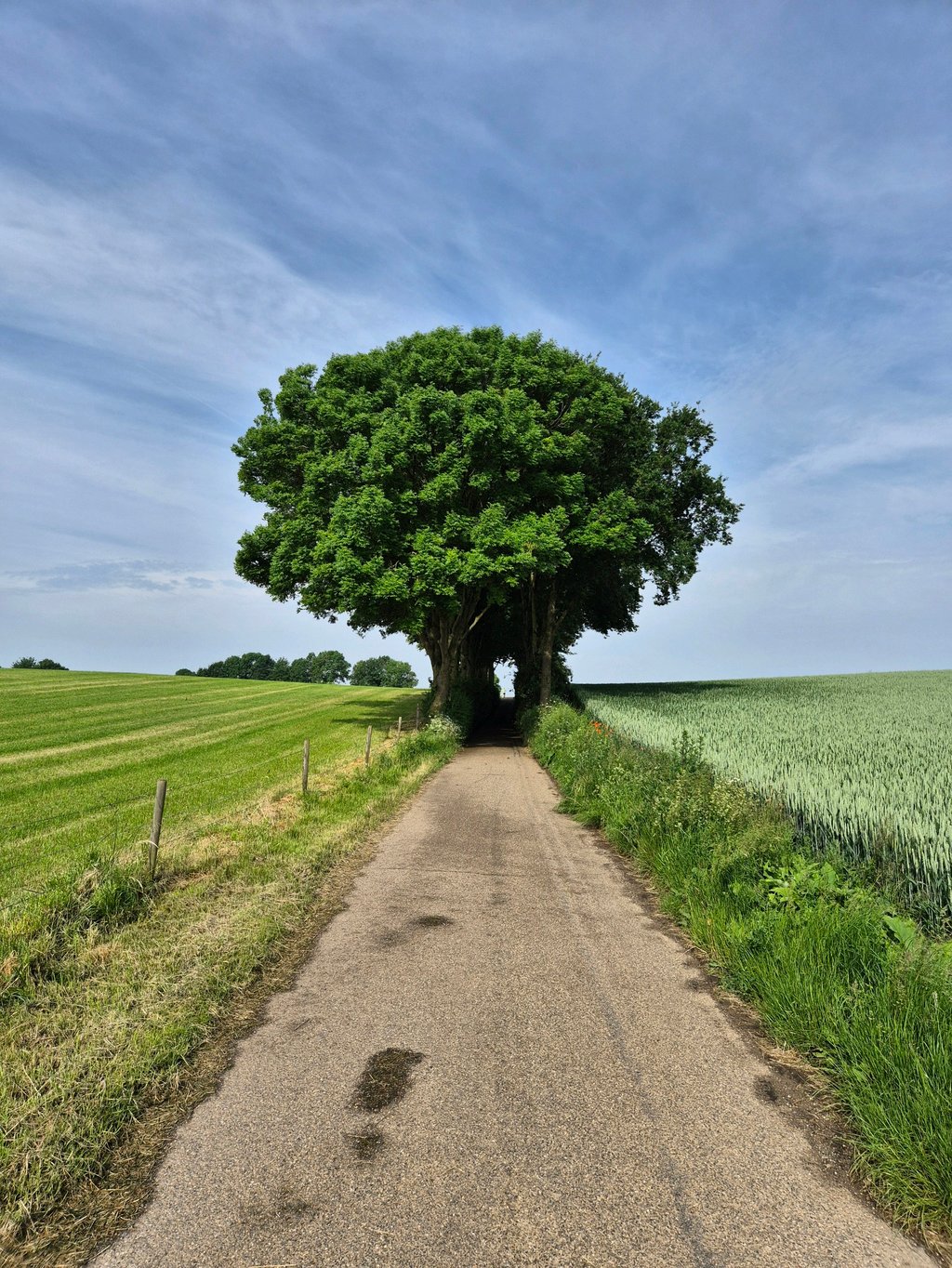
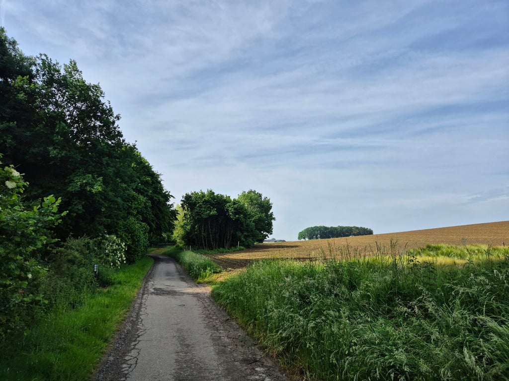
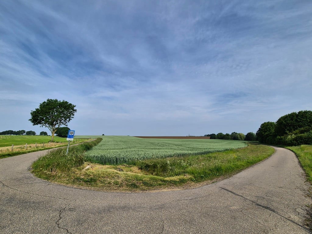
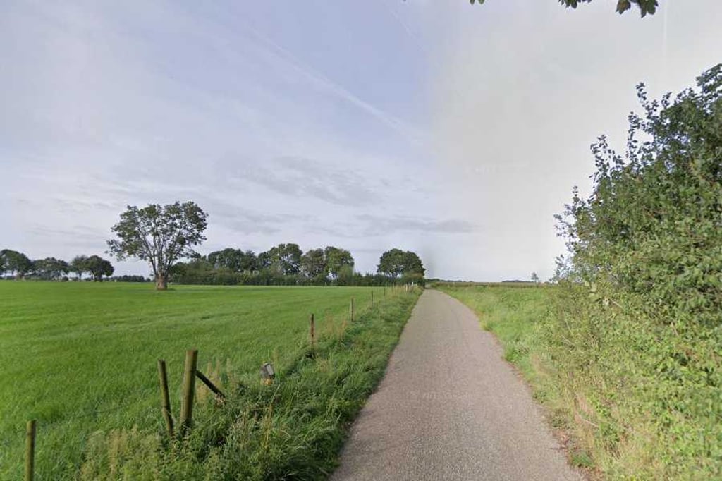
Achteromsweg via Steenbergswegske is a climb in the region South Limburg. It is 0.6 mi long and bridges 62 ft of vertical ascent with an average gradient of 2.1%, resulting in a difficulty score of 6. The top of the ascent is located at 463 ft above sea level. Climbfinder users shared 3 reviews of this climb and uploaded 7 photos.
Road names: Steenbergswegske & Achteromsweg
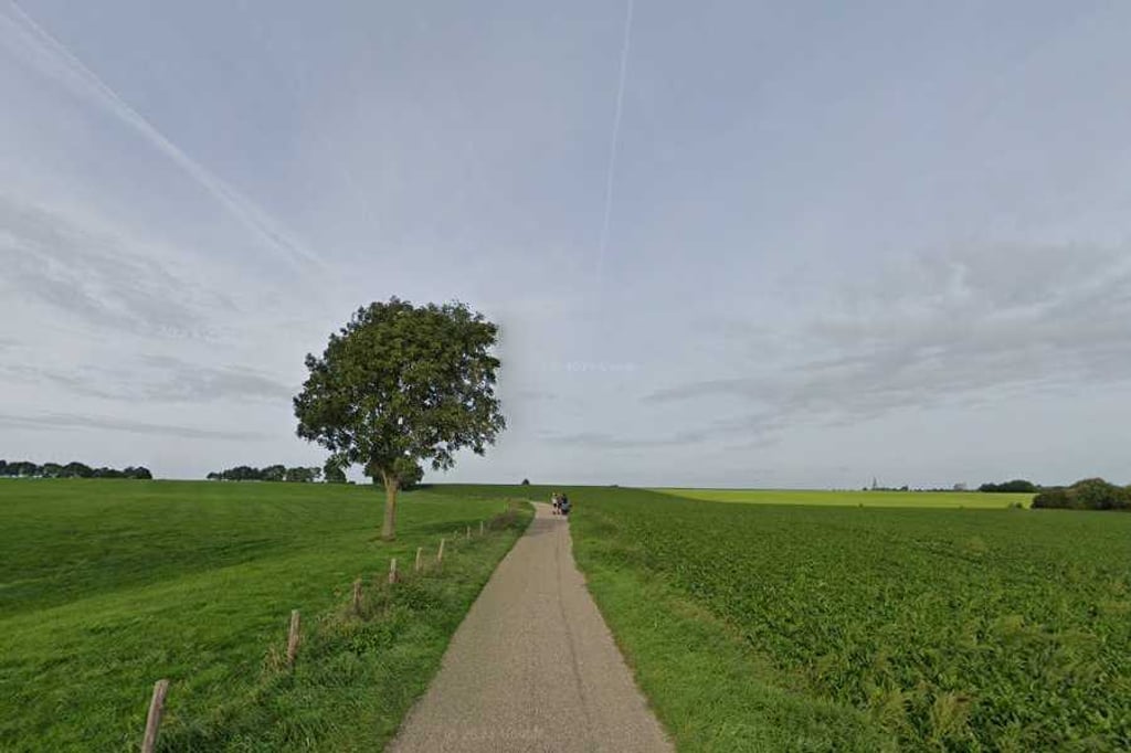
3.0 by JarinThis is an automatic translation, the original language is: Dutch.Nice hidden climb on a quiet agricultural road. Nice rolling landscape, where the climb at the end in the bush tightens up a bit. Great road surface, although it can be muddy from agricultural traffic.... read more
Welcome! Please activate your account if you would like to share something. Look for the verification email in your inbox.
If you want to upload your photos, you need to create an account. It only takes 1 minute and it's completely free.
Nice hidden climb on a quiet agricultural road. Nice rolling landscape, where the climb at the end in the bush tightens up a bit. Great road surface, although it can be muddy from agricultural traffic.
Leukw verborgen klim over een rustige landbouwweg. Mooi glooiend landschap, waarvij de klim op het eind in de bossage nog even lekker aantrekt. Prima wegdek, al kan het wel modderig zijn door landbouwverkeer.
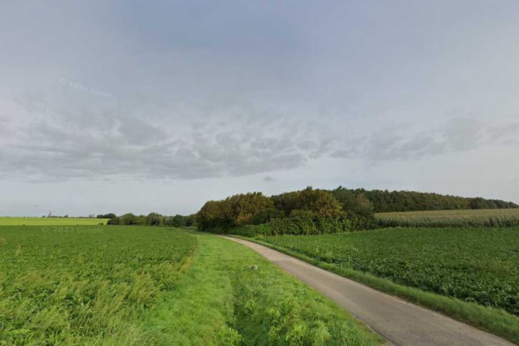
Short climb - can be used as a connecting road towards Maastricht if you want to avoid the main road. Good tarmac and quiet.
Kort klimmetje - kan als verbindingsweg worden gebruikt richting Maastricht als je de grote baan wilt mijden. Goed asfalt en rustig.
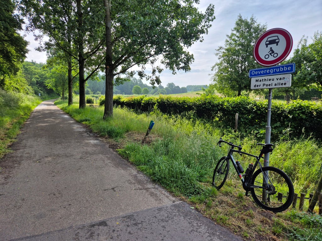
The climb starts at the junction with the Mathieu v.d. Poel Allee. The climb rises gradually with steepest part just before the summit.
De klim begint op de splitsing met de Mathieu v.d. Poel Allee. De klim loopt geleidelijk op met steilste deel net voor de top.
| 5 mph | 00:06:45 |
| 7 mph | 00:04:46 |
| 9 mph | 00:03:43 |
| 12 mph | 00:02:47 |
This page is better in the app