View on map
© MapLibre | OpenStreetMap contributors
1%
2%
4%
6%
8%
10%
12%
15%
20%

Aardaker North via Kerkesleutel

3.0
1 review/story | Elevation profile | 6 photos
Tips nearby
Aardaker North via Kerkesleutel
transparant thumb
transparant thumb
Your achievable time
Calculating based on your best performances...
Relaxed
Maximum
W/kg
W/kg
W/kg
Analyze your climbing performance
Detailed insight into your climbing performance & automatically check off climbs
Based on your best performances.
Your best attempt:
Number of attempts:
Elevation profile Aardaker North via Kerkesleutel

Statistics

Difficulty points 27
Length 0.6 mi
Average gradient 4.3%
Steepest segment 9%
Total ascent 138 ft
Feedback about this climb?
Show climbs nearby Export to GPS device

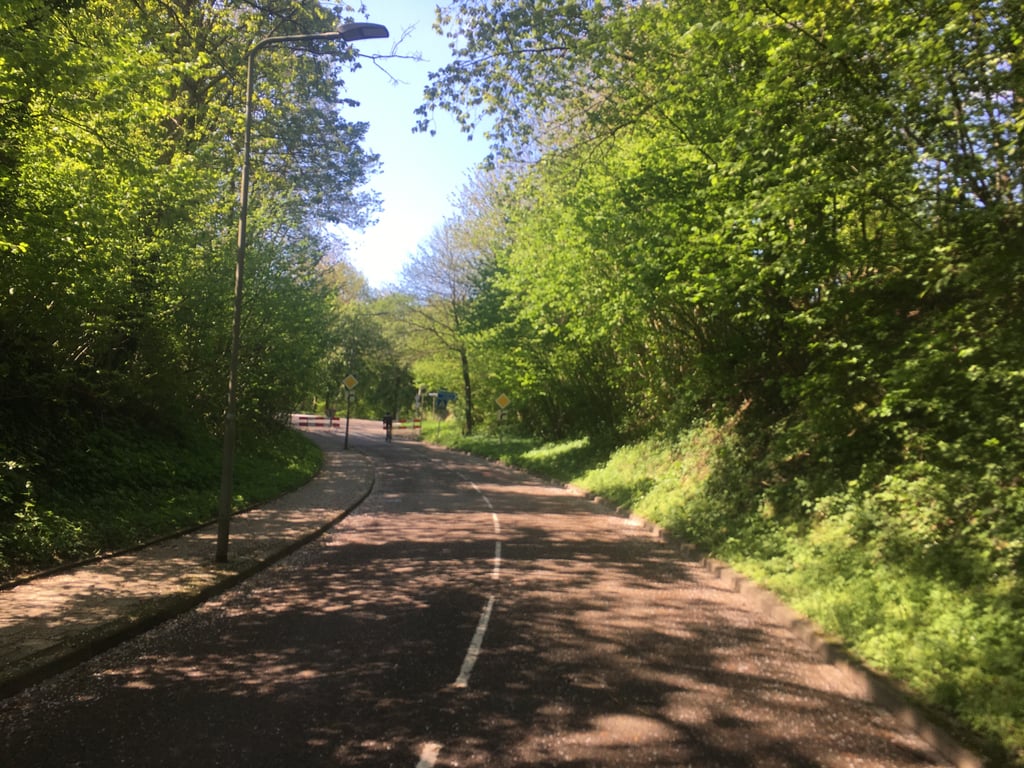
Aardaker North via Kerkesleutel is a climb in the region South Limburg. It is 0.6 mi long and bridges 138 ft of vertical ascent with an average gradient of 4.3%, resulting in a difficulty score of 27. The top of the ascent is located at 453 ft above sea level. Climbfinder users shared 1 review/story of this climb and uploaded 6 photos.

Road names: Kerkesleutel & Aardaker

3.0 by Fedor
This is an automatic translation, the original language is: Dutch.
First part goes up gently on the priority road towards Ingber. Where you used to follow the priority road, it now bends to the right so you have to "turn left here" straight on into the residential area where the road starts to climb steeply. Halfway up the steep slope, turn right, an almost flat road with a few bends where to the two the bend to the left it rises steeply again until the end. In this section, the slope is nicely visible because of the buildings.... read more

Photos (6)

Aardaker North via Kerkesleutel

Your uploads (max 4)

Welcome! Please activate your account if you would like to share something. Look for the verification email in your inbox.

If you want to upload your photos, you need to create an account. It only takes 1 minute and it's completely free.

  • Receive free climbfinder goodies for your reviews & photos.
  • Create a bucket list and check off conquered climbs.
  • Add missing climbs.
Continue with GoogleContinue with Google Continue with FacebookContinue with Facebook Continue with AppleContinue with Apple Sign up with email
By signing up you agree to our terms of service and confirm that you have read our privacy & content policy.

Reviews (1)

5.0
4.0
3.0
2.0
1.0
Fedor
2 y 3.0
This is an automatic translation, the original language is: Dutch. Show original

First part goes up gently on the priority road towards Ingber. Where you used to follow the priority road, it now bends to the right so you have to "turn left here" straight on into the residential area where the road starts to climb steeply. Halfway up the steep slope, turn right, an almost flat road with a few bends where to the two the bend to the left it rises steeply again until the end. In this section, the slope is nicely visible because of the buildings.

Eerste deel gaat rustig omhoog over de voorrangsweg richting Ingber. Waar je vroeger de voorrangsweg volgde, buigt deze nu naar rechts dus je moet hier "linksaf slaand" rechtdoor de woonwijk in waar de weg stevig omhoog gaat lopen. Halverwege de steile helling rechtsaf, een vrijwel vlakke weg met enkele bochten waar na de tweede bocht naar links het weer flink oploopt tot het eind. In dit deel is de helling mooi zichtbaar vanwege de bebouwing.

Aardaker North via Kerkesleutel
Dashboard

Climbing times

5 mph 00:07:27
7 mph 00:05:16
9 mph 00:04:07
12 mph 00:03:05

Road surface condition

0% 0% 0%
Based on 0 votes
Share your knowledge. What was the road condition during your ascent?

Traffic

0% 0% 0%
Based on 0 votes
Your experience counts. How much traffic did you encounter during the climb?

Frequently Asked Questions

Aardaker can be cycled from 4 sides. Slenakerweg from Euverem is the most popular side, but the summit can also be reached via Aardaker via Oude Maastrichterweg, Aardaker South via Kerkesleutel & Aardaker North via Kerkesleutel.

You don't need special gearing for Aardaker North via Kerkesleutel. The slope isn't long or steep enough to require much shifting down. You can conquer this climb on power alone. However, a compact gearing system with a smallest front chainring of 34 and largest rear sprocket of 28 or 30 is always nice if you enjoy cycling uphill. This helps maintain a smooth cadence.

Aardaker North via Kerkesleutel falls into the 5th category. With good fitness, you can ride it up with speed and power. If you have less training, shift down and climb smoothly.

Aardaker North via Kerkesleutel is 0.6 mi long.

The average gradient of Aardaker North via Kerkesleutel is 4.3%.

Aardaker North via Kerkesleutel has a steepest segment with an average gradient of 9%.

The summit of Aardaker North via Kerkesleutel is at 453 ft.

At a slow pace of 5 mph, it takes about 00:07:27 to climb Aardaker North via Kerkesleutel. At 7 mph the time is 00:05:16, and at 9 mph 00:04:07. For the fastest cyclists, 00:03:05 is an achievable time.

Aardaker North via Kerkesleutel is located in the region Limburg in Netherlands.

This page is better in the app

Climbfinder app
Climbfinder
(Free)
Open