| Miejsce | Podjazd |
|---|---|
|
Chalets des Auges z Entremont
10.6 km
9.3%
1479
|
|
|
Signal de Bisanne z Ugine / L'Arcy
20.2 km
7.5%
1292
|
|
|
Signal de Bisanne z Queige
17.3 km
7.9%
1243
|
|
| 4 |
Col de Cenise z Le Petit Bornand les Glières
7.9 km
10.9%
1139
|
| 5 |
Col de l'Arpettaz z La Foliette
15 km
7.7%
985
|
| 6 |
Semnoz
16.9 km
7.2%
981
|
| 7 |
Semnoz z Vieugy
14.2 km
7.6%
941
|
| 8 |
Col de l'Arpettaz z Ugine przez Le Stapey
19.1 km
6.3%
935
|
| 9 |
Col de l'Arpettaz z Ugine przez Mont Dessous
15.6 km
7.5%
933
|
| 10 |
Mont Revard przez Montée du Téléphérique
19.4 km
6.2%
921
|
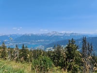
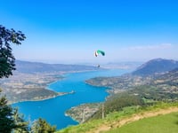
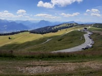
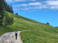
Wokół Annecy możecie tu znaleźć 156 ciekawych podjazdów położonych pomiędzy 304 m a 1934 m nad poziomem morza. Chalets des Auges z Entremont to najtrudniejszy podjazd z wynikiem trudności 1479. Podjazdy mają średnią długość 7.6 km i średnio 498 m całkowitego przewyższenia.
Ta strona jest lepsza w aplikacji