Tips nearby


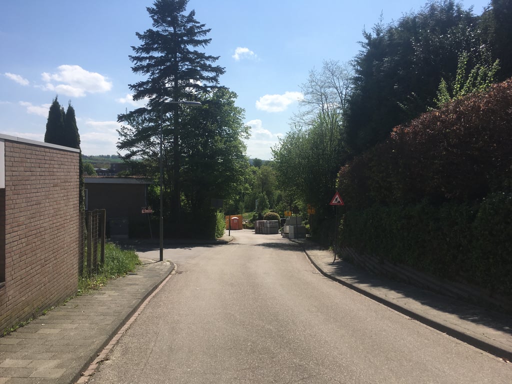
Witteweg via Ingbergrachtweg is a climb in the region South Limburg. It is 0.4 km long and bridges 21 m of vertical ascent with an average gradient of 5.3%, resulting in a difficulty score of 18. The top of the ascent is located at 117 m above sea level. Climbfinder users shared 2 reviews of this climb and uploaded 10 photos.
Road names: Ingbergrachtweg & Witteweg
2.0 by PinoThis is an automatic translation, the original language is: Dutch.When I rode it, road workers were renewing the middle section. Spicy climb through a residential area.... read more

Welcome! Please activate your account if you would like to share something. Look for the verification email in your inbox.
If you want to upload your photos, you need to create an account. It only takes 1 minute and it's completely free.
When I rode it, road workers were renewing the middle section. Spicy climb through a residential area.
Toen ik hem reed waren wegwerkers bezig het middenstuk te vernieuwen. Pittige klim door een woonwijk.
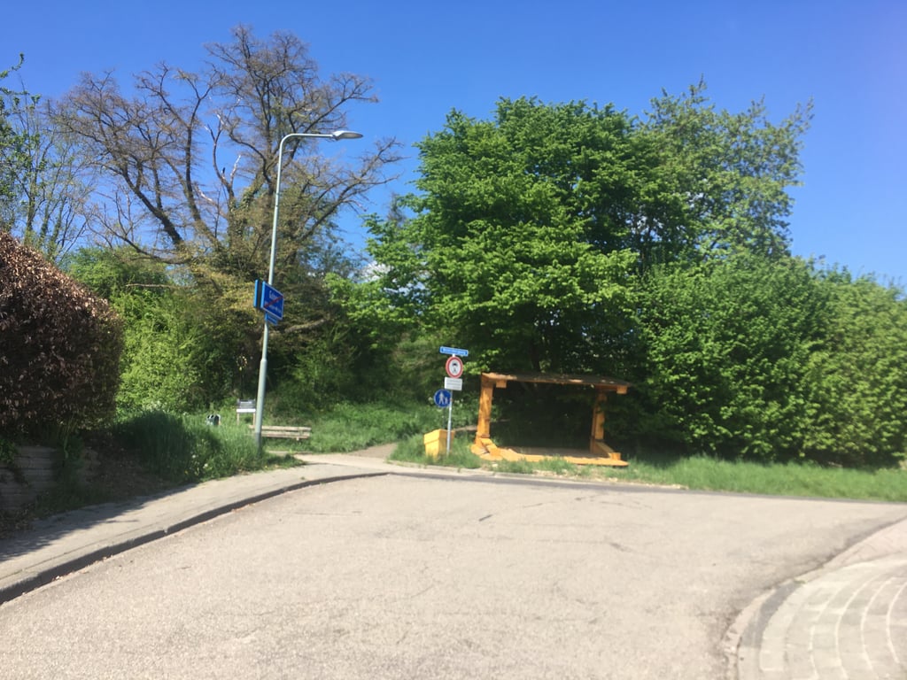
Nice to do because of the steep part but that's really the only reason. From the beginning, the road meanders upwards. If you have turned right, you see almost the entire rest of the climb already in front of you and you get a short but nice workout. Halfway up there is a cobblestone threshold/table, the rest of the climb is good tarmac. Where at the top the road bends to the right, the climb suddenly ends.
Tip: At the steep part there is a good parking place on the left where the car can be parked unlimited (the rest is from Gulpen mostly max. 2 hours). Handy as a base for this area.
Vanwege het steile stuk leuk om te doen maar da's dan wel eigenlijk de enige reden. Vanaf het begin kabbelt de weg omhoog. Als je rechtsaf bent geslagen zie je vrijwel de hele rest van de klim al voor je uit torenen en mag je kort maar lekker aan de bak. Hier is halverwege een drempel/tafel met klinkers, de rest van de klim is goed asfalt. Waar bovenin de weg naar rechts buigt houdt de klim ineens op.
Tip: Bij het steile stuk is links een goede parkeerplaats waar de auto onbeperkt (de rest is van Gulpen is grotendeels max. 2 uur) mag staan. Handig als uitvalsbasis voor dit gebied.
| 7 km/h | 00:03:25 |
| 11 km/h | 00:02:10 |
| 15 km/h | 00:01:36 |
| 19 km/h | 00:01:15 |
This page is better in the app