| Hidden gem |
| #8 toughest climb of Netherlands |
| #79 most elevation gain of Netherlands |
| #9 average steepest climb of Netherlands |
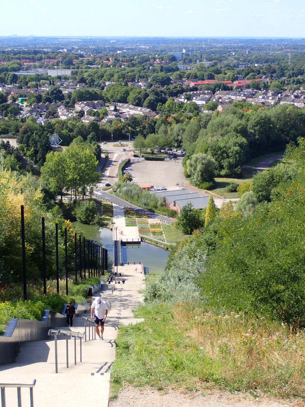
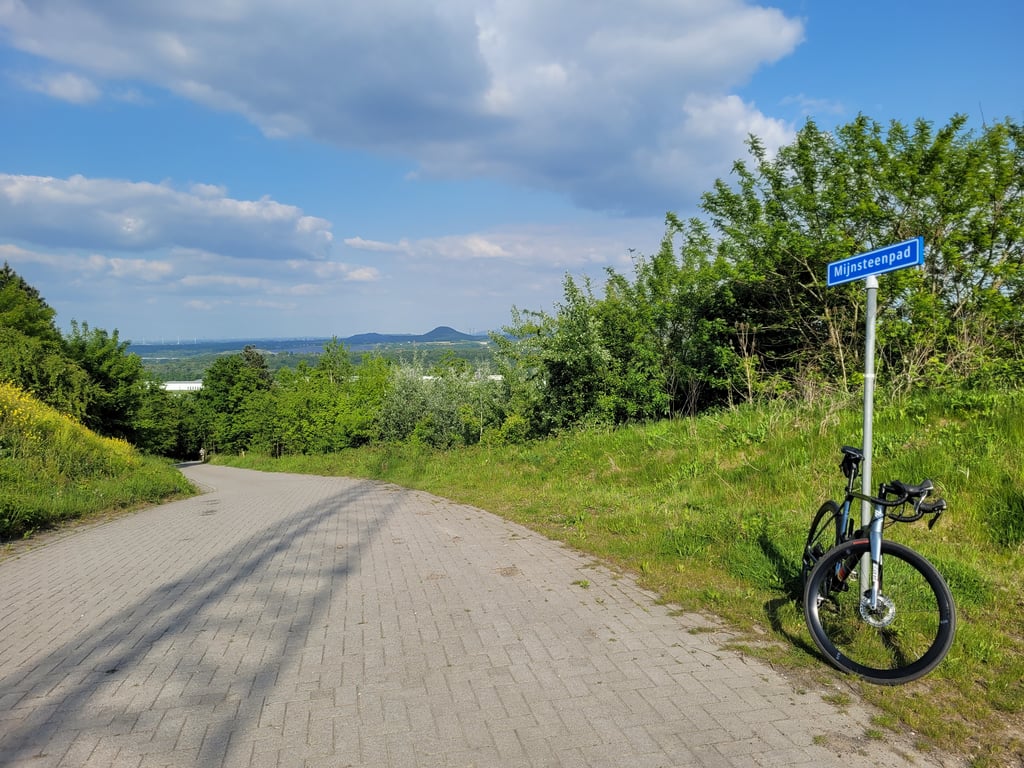
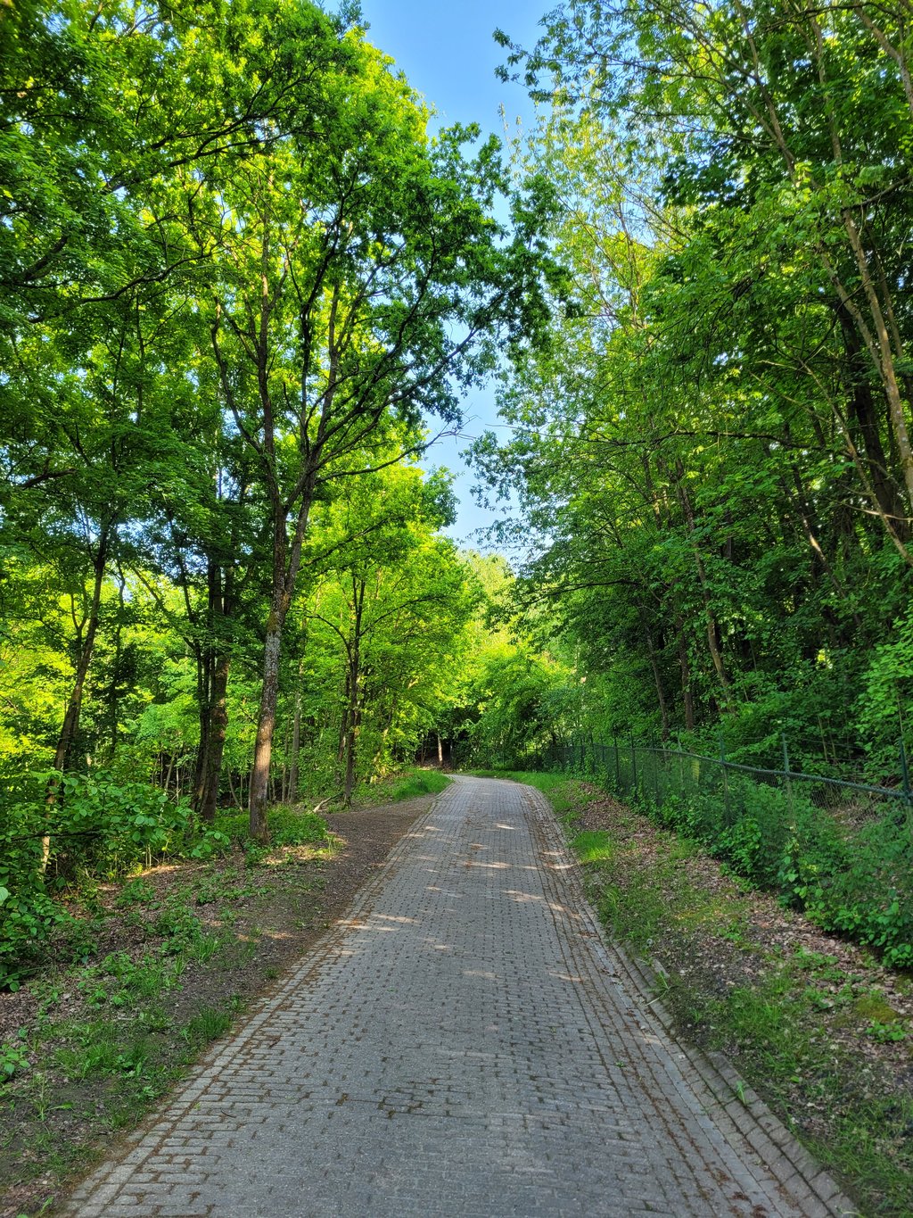
Wilhelminaberg via Mijnsteenpad is a climb in the region South Limburg. It is 0.7 km long and bridges 71 m of vertical ascent with an average gradient of 9.9%, resulting in a difficulty score of 80. The top of the ascent is located at 220 m above sea level. Climbfinder users shared 4 reviews of this climb and uploaded 26 photos.
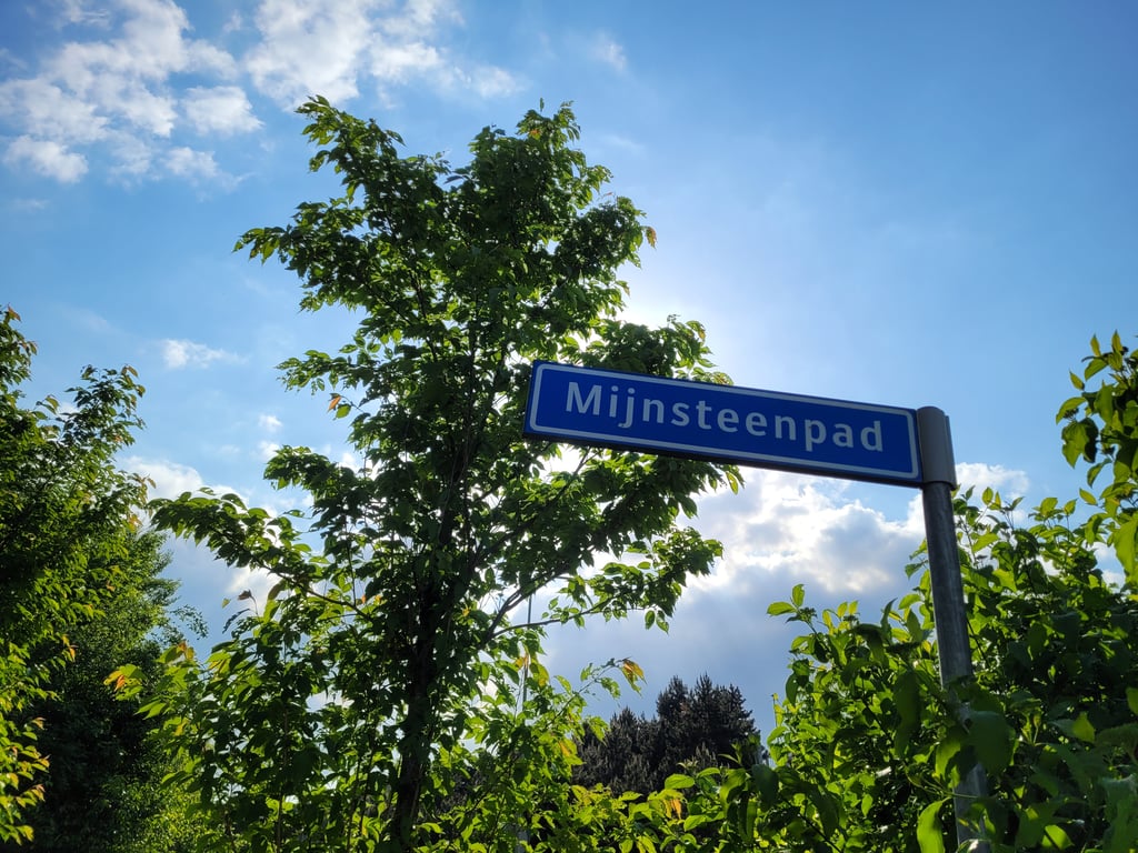
Road name: Mijnsteenpad
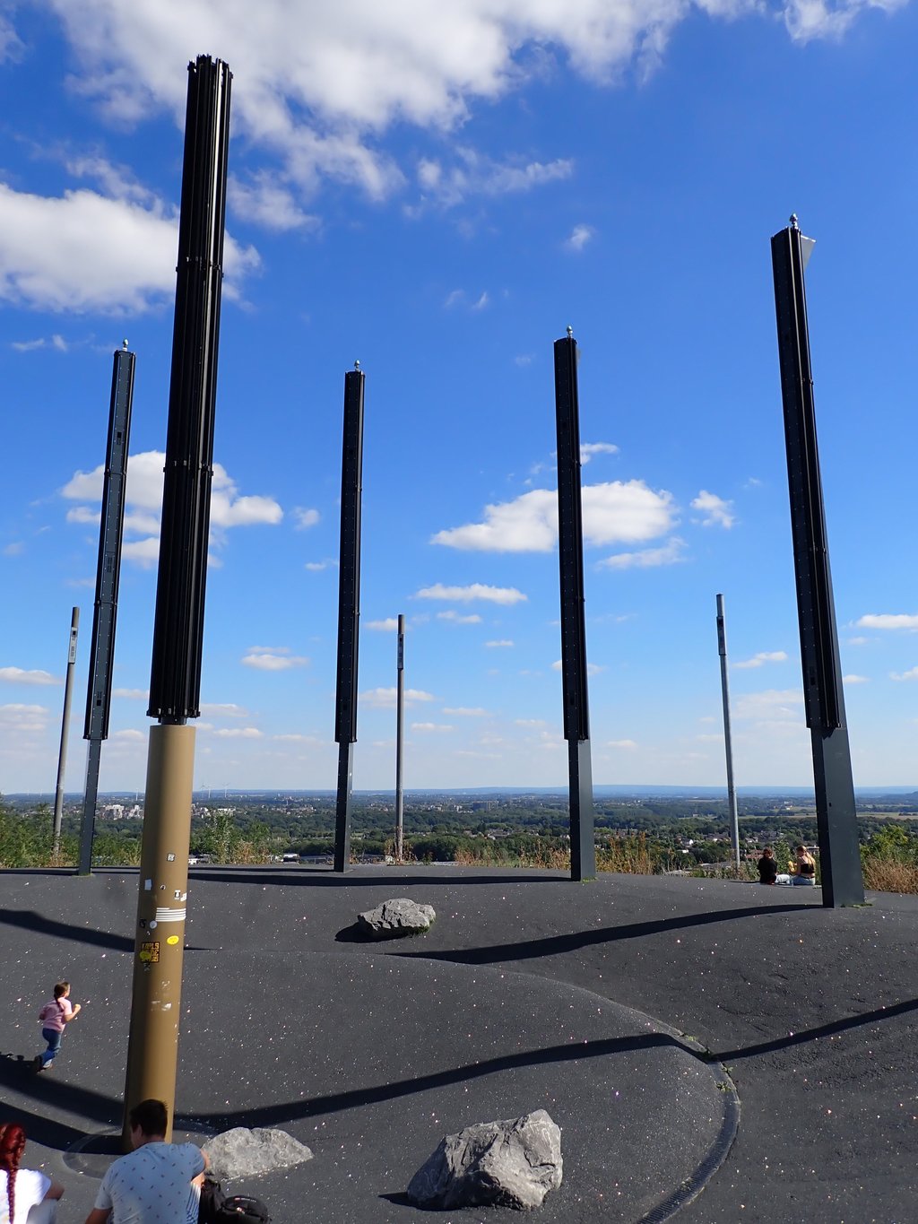
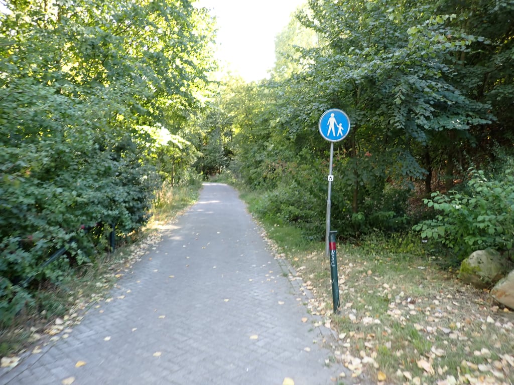
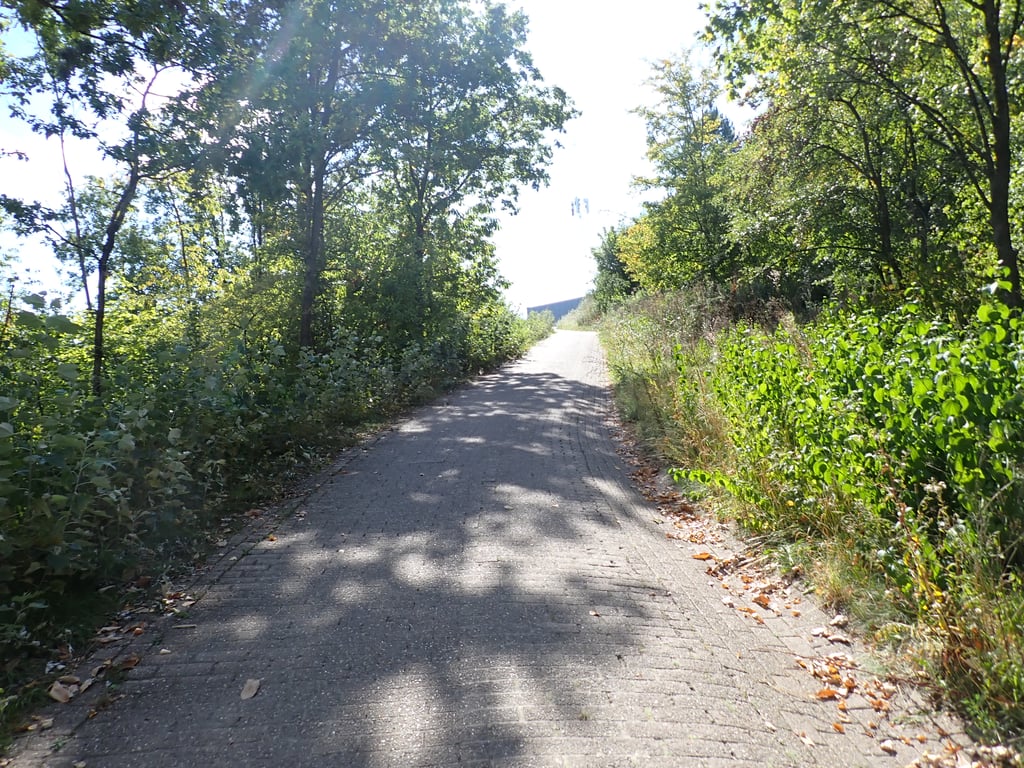
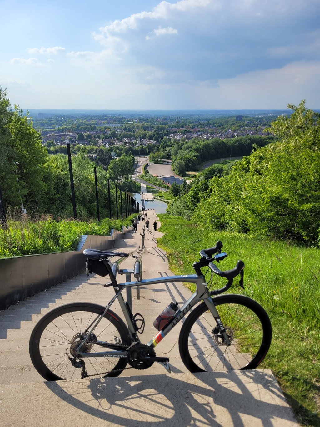
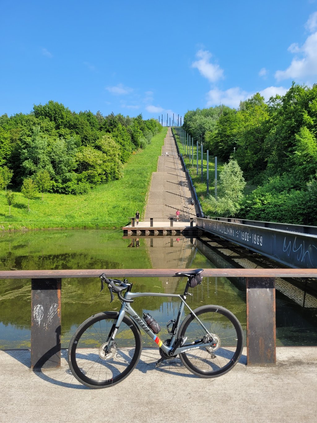
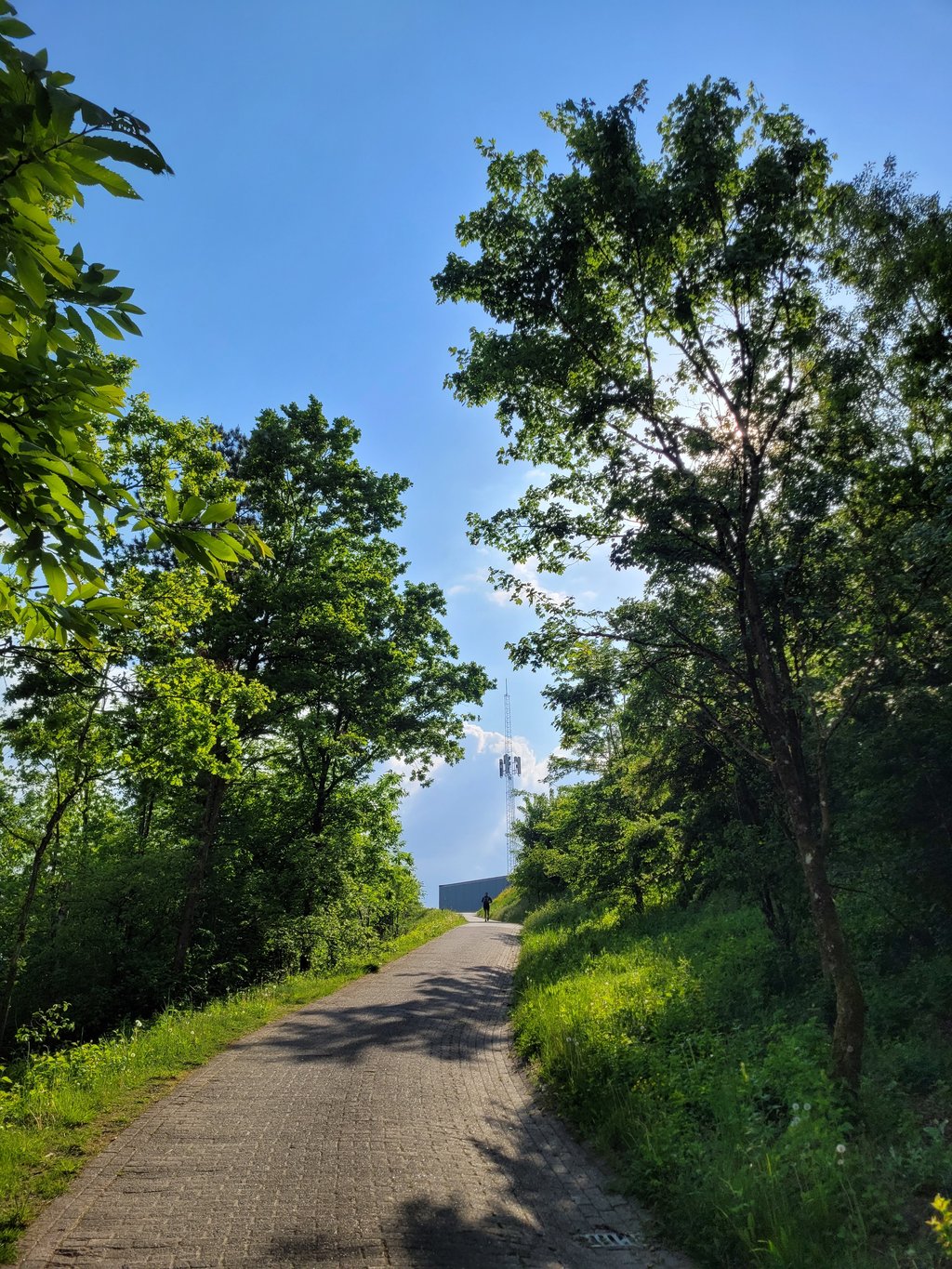
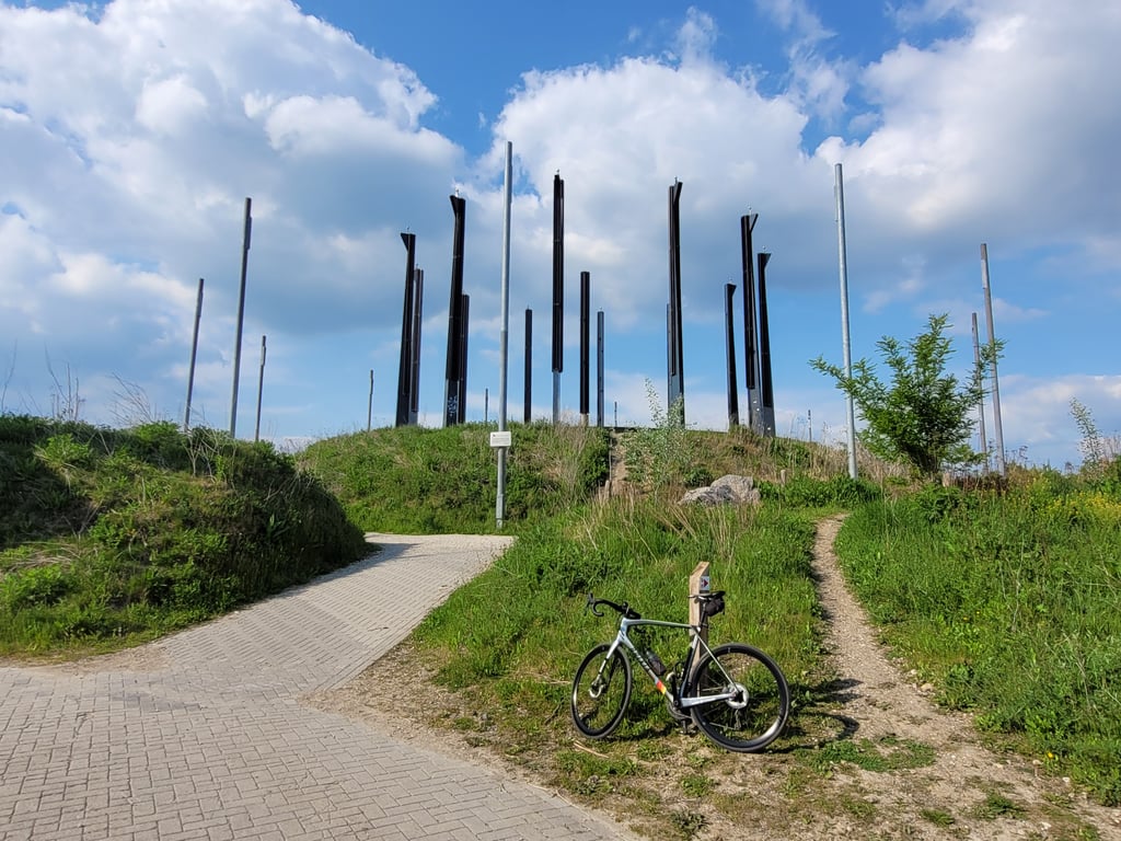
4.0 by TjaartThis is an automatic translation, the original language is: Dutch.Path paved with (partly irregularly laid) clinkers that crosses the grand staircase once and reaches the ski hall at the top. From there it is another small stretch of gravel before the nice view at the top of the mountain (this stretch of gravel is not part of the climbfinder climb). Climb on footpath (also used by MTB's) is fairly steep, but fine to do. There can be a lot of leaves on the path, though. View at the top great.... read more
Welcome! Please activate your account if you would like to share something. Look for the verification email in your inbox.
If you want to upload your photos, you need to create an account. It only takes 1 minute and it's completely free.
Path paved with (partly irregularly laid) clinkers that crosses the grand staircase once and reaches the ski hall at the top. From there it is another small stretch of gravel before the nice view at the top of the mountain (this stretch of gravel is not part of the climbfinder climb). Climb on footpath (also used by MTB's) is fairly steep, but fine to do. There can be a lot of leaves on the path, though. View at the top great.
Met (deels onregelmatige liggende) klinkers verhard pad dat de grote trap een keer kruist en boven tegen de skihal aanrijdt. Vanaf daar is het nog een klein stukje gravel voor het mooie uitzicht boven op de berg (dit stukje gravel hoort niet bij de climbfinder klim). Klim op voetpad (ook door MTB's gebruikt) is redelijk steil, maar prima te doen. Er kunnen wel veel bladeren op het pad liggen. Uitzicht boven geweldig.
The path is more of a cobbled path, but indeed has not been maintained for some time and is subject to considerable erosion: hotfooting uphill, then. You can't overlook Wilhelmina Mountain, so when you start the path you know you're in for a big climb. Incidentally, an MTB route also runs over the mountain (our southern neighbours would call this a terril) so an MTB'er could literally cross your path along the way. Once at the top, the view is obviously stunning. A must as far as I am concerned!
Het pad is eerder een een klinkerpad, maar inderdaad al een tijd niet onderhouden en flink aan erosie onderhevig: hotseknotsend naar boven dus. De Wilhelminaberg kun je niet over het hoofd zien, dus als je aan het pad begint weet je dat je een flinke klim te wachten staat. Overigens loopt er ook een MTB route over de berg (onze zuiderburen zouden dit een terril noemen) dus een MTB'er zou onderweg letterlijk je pad kunnen kruisen. Eenmaal bovenaan is het uitzicht uiteraard prachtig. Een must wat mij betreft!
Interesting climb on a bad cobblestone pavement (only descend very carefully!!!) After the first small hill, a small flat section followed by a more or less even climb to the summit. The percentages felt higher than indicated;). Good views of the region from the summit. Overall not a long climb due to its gradient but quite difficult.
Interessanter Anstieg auf einem schlechten Kopfsteinpflaster (Abfahren nur sehr vorsichtig!!!) Nach dem ersten kleinen Hügel eine kleine Flachpassage danach geht es mehr oder weniger gleichmäßig zum Gipfel. Gefühlt waren die Prozentsätze höher als angegeben;). Auf dem Gipfel gute Aussicht auf die Region. Insgesamt zwar kein langer Anstieg durch seine Steigung aber ziemlich schwierig.
The Wilhelminaberg is fun to do anyway but by bike it's even more of a challenge and with the MTB routes from the top, it is also allowed to cycle up via this footpath (there is an MTB sign). And quite a challenge it is because the paved path (with cobbles) has quite steep sections at times, interspersed with lighter sections so you're not going to find a rhythm. The paving stops just below the summit but via a small stretch of gravel you can reach the real summit, which offers nice views. On the way you drive through a forest so only when you cross the stairs (once) will you have a view, but there is a lot of clearing going on at the moment (there is a warning sign at the start when they are busy) so it might get better in terms of views.
De Wilhelminaberg is sowieso leuk om te doen maar met de fiets is het nog een extra uitdaging en met de MTB-routes vanaf de top is het ook via dit voetpad toegestaan om naar boven te fietsen (er staat een MTB-bordje). En een uitdaging is het best wel want het verharde pad (met klinkers) heeft soms best steile stukjes, afgewisseld met lichtere gedeeltes dus een ritme ga je niet vinden. Het verharding stopt net onder de top maar via een klein stukje gravel kan je de echte top bereiken, die mooi uitzicht biedt. Onderweg rij je door een bos dus alleen als je (éénmalig) de trap kruist heb je uitzicht, maar er wordt momenteel flink gerooid (er staat een waarschuwingsbord aan het begin als ze bezig zijn) dus het kan zijn dat het beter gaat worden qua uitzichten.
| 7 km/h | 00:06:11 |
| 11 km/h | 00:03:56 |
| 15 km/h | 00:02:53 |
| 19 km/h | 00:02:16 |
This page is better in the app