View on map
© MapLibre | OpenStreetMap contributors
1%
2%
4%
6%
8%
10%
12%
15%
20%

Wijlegem via Maesegem

2.0
1 review/story | Elevation profile | 4 photos
Tips nearby
Wijlegem via Maesegem
transparant thumb
transparant thumb
transparant thumb
transparant thumb
Your achievable time
Calculating based on your best performances...
Relaxed
Maximum
W/kg
W/kg
W/kg
Analyse your climbing performance
Detailed insight into your climbing performance & automatically check off climbs
Based on your best performances.
Your best attempt:
Number of attempts:
Elevation profile Wijlegem via Maesegem

Statistics

Difficulty points 10
Length 1.8 km
Average gradient 1.8%
Steepest 100 metres 5.9%
Total ascent 32 m
Feedback about this climb?
Show climbs nearby Export to GPS device

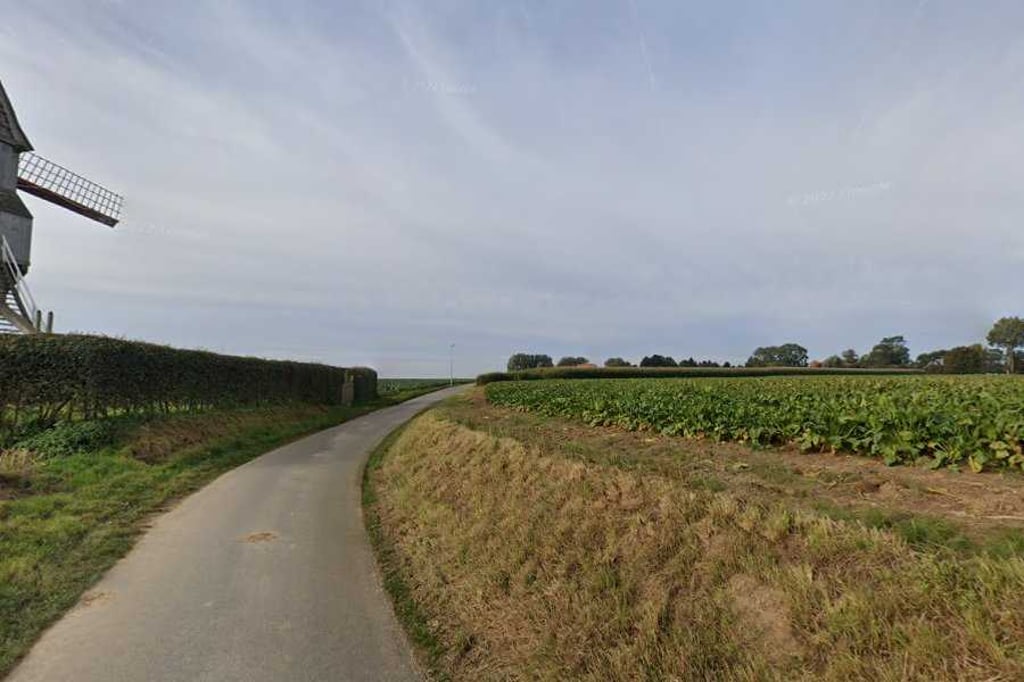
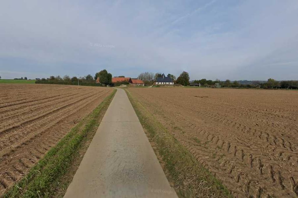
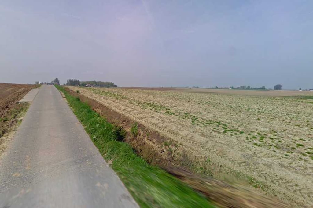
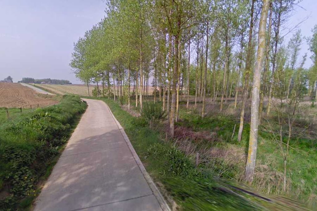
Wijlegem via Maesegem is a climb in the region Flemish Ardennes. It is 1.8 km long and bridges 32 m of vertical ascent with an average gradient of 1.8%, resulting in a difficulty score of 10. The top of the ascent is located at 67 m above sea level. Climbfinder users shared 1 review/story of this climb and uploaded 4 photos.

Road names: Maesegem & Kouteren

2.0 by BikerJohan
This is an automatic translation, the original language is: Dutch.
The biggest rise is in the first 400 metres. Then it flattens out and a short descent follows. Then 200 metres false flat and another 200 metres descent. The last 600 metres is then false flat again.... read more

Photos (4)

Wijlegem via Maesegem
transparant thumb
transparant thumb

Your uploads (max 4)

Welcome! Please activate your account if you would like to share something. Look for the verification email in your inbox.

If you want to upload your photos, you need to create an account. It only takes 1 minute and it's completely free.

  • Receive free climbfinder goodies for your reviews & photos.
  • Create a bucket list and check off conquered climbs.
  • Add missing climbs.
Continue with GoogleContinue with Google Continue with FacebookContinue with Facebook Continue with AppleContinue with Apple Sign up with email
By signing up you agree to our terms of service and confirm that you have read our privacy & content policy.

Reviews (1)

5.0
4.0
3.0
2.0
1.0
BikerJohan
1 y 2.0
This is an automatic translation, the original language is: Dutch. Show original

The biggest rise is in the first 400 metres. Then it flattens out and a short descent follows. Then 200 metres false flat and another 200 metres descent. The last 600 metres is then false flat again.

De grootste stijging zit in de eerste 400 meter. Daarna vlakt het af en volgt korte afdaling. Hierna 200 meter vals plat en weer 200 meter afdalen. De laatste 600 meter is dan weer vals plat.

Dashboard

Climbing times

7 km/h 00:15:18
11 km/h 00:09:44
15 km/h 00:07:08
19 km/h 00:05:38

Road surface condition

0% 0% 0%
Based on 0 votes
Share your knowledge. What was the road condition during your ascent?

Traffic

0% 0% 0%
Based on 0 votes
Your experience counts. How much traffic did you encounter during the climb?

Frequently Asked Questions

Wijlegem can be cycled from 9 sides. Wijlegem via Maesegem is the most popular side, but the summit can also be reached via Terweeënstraat, Wijlegem from Wijlegembeek, Wijlegem via Ketse, Moldergem, Heufkensstraat, Heufke, Rijkekleie from Sint-Blasius-Boekel & Makkegem.

You don't need special gearing for Wijlegem via Maesegem. The slope isn't long or steep enough to require much shifting down. You can conquer this climb on power alone. However, a compact gearing system with a smallest front chainring of 34 and largest rear sprocket of 28 or 30 is always nice if you enjoy cycling uphill. This helps maintain a smooth cadence.

Wijlegem via Maesegem is not tough enough to be assigned a mountain category. This means that even untrained cyclists can reach the top without any problems on this climb.

Wijlegem via Maesegem is 1.8 km long.

The average gradient of Wijlegem via Maesegem is 1.8%.

Wijlegem via Maesegem has a steepest segment with an average gradient of 5.9%.

The summit of Wijlegem via Maesegem is at 67 m.

At a slow pace of 7 km/h, it takes about 00:15:18 to climb Wijlegem via Maesegem. At 11 km/h the time is 00:09:44, and at 15 km/h 00:07:08. For the fastest cyclists, 00:05:38 is an achievable time.

Wijlegem via Maesegem is located in the region East Flanders in Belgium.

This page is better in the app

Climbfinder app
Climbfinder
(Free)
Open